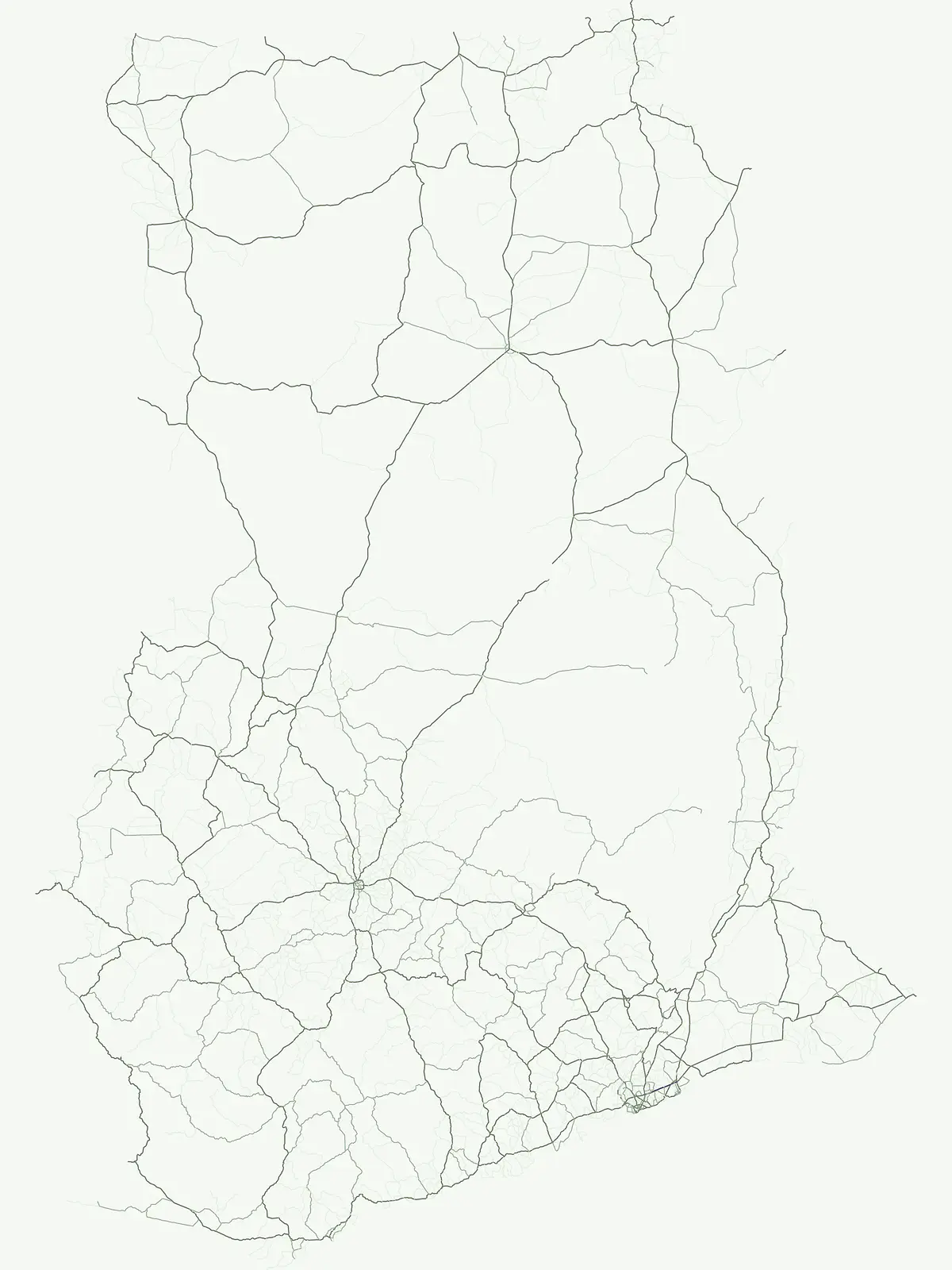
Mapping the geographic distribution and regional context of protected natural lands
Comprehensive Atlas of Protected Areas and Conservation Sites Throughout Ghana
Discover a structured collection of protected areas and conservation sites spanning the diverse geography of Ghana. This resource provides insight into specific natural regions that contribute to the environmental fabric of the country, offering a clear way to trace site boundaries and understand the regional significance of protected landscapes across the West African territory.
Navigating the diverse protected natural areas across coastal lagoons and river basins.
Protected Area in Ghana: Exploring Flexible Conservation Sites and Reserves
Ghana protected areas encompass vital conservation sites that fall outside standard park classifications across the national landscape. Examining these flexible reserves reveals essential coastal wetlands, mangrove swamps, and wildlife habitats mapped throughout the region.
Ghana Protected Area Map and Regional Park Directory
Browse regional protected areas in Ghana to evaluate coastal lagoons, wetlands, and conservation zones. Review the mapped park index to analyze ecological distributions across the national landscape.
Protected areaVolta Region
Keta Lagoon
A vital ecological and cultural landscape in Ghana's Volta Region
Keta Lagoon represents a primary coastal wetland system in eastern Ghana. Spanning the coastline between sandy barriers and inland floodplains, this protected area features a unique mosaic of mangroves, tidal flats, and islands. Its role as a major waterbird habitat and the center of Anlo-Ewe cultural life makes it a significant site for understanding West African coastal geography and environmental conservation.
More designation routesExplore wildlife reserves, national parks, and protected landscapes across Ghana4
Compare Ghana Designations: Other Park and Reserve Categories
Compare protected area types in Ghana by browsing alternative conservation categories and regional park groups. Evaluating adjacent designation families reveals the complete range of protected natural landscapes spanning the country.
Examining Nine Key Wildlife Protected Areas
Wildlife reserve
45%
Investigate the spatial distribution of wildlife reserves throughout Ghana. These protected lands prioritize habitat maintenance and the stewardship of wild populations, forming an integral part of the nation's broader ecological geography and mapped conservation zones.
Explore the mapped distribution of national parks across Ghana.
National park
32%
This dedicated atlas entry provides an in-depth view of Ghana's national parks, serving as a central point for understanding their geographic placement and importance. It details the unique landscape context and mapped boundaries of each protected area, facilitating a structured discovery of the nation's significant conservation sites and their contribution to regional geography.
Mapped conservation reserves and biodiversity hotspots
Nature reserve
14%
Explore the nature reserve network established across Ghana to safeguard key habitats and sensitive natural features. This overview provides a structured way to identify and understand the role of these protected areas in the broader regional landscape, focusing on their specific environmental contribution to the country.
Geography of landscape-scale conservation in Ghana
Protected landscape
5%
Access the geographical record of protected landscapes in Ghana. These sites emphasize scenic character and land stewardship, forming a unique part of the national conservation fabric that links natural features with established regional territories.