
Mapping the topographic and ecological diversity found within national park boundaries
Guyana Protected Areas; Geographic Catalog of Notable Natural Features and Landscapes
This geographic collection organizes various natural features documented within the protected landscapes of Guyana. By tracing the spatial relationships between diverse terrain types and established park boundaries, users can better understand the regional distribution of physical landmarks across this South American territory. The database highlights connections between specific natural formations and the larger conservation areas that sustain the regional geography.
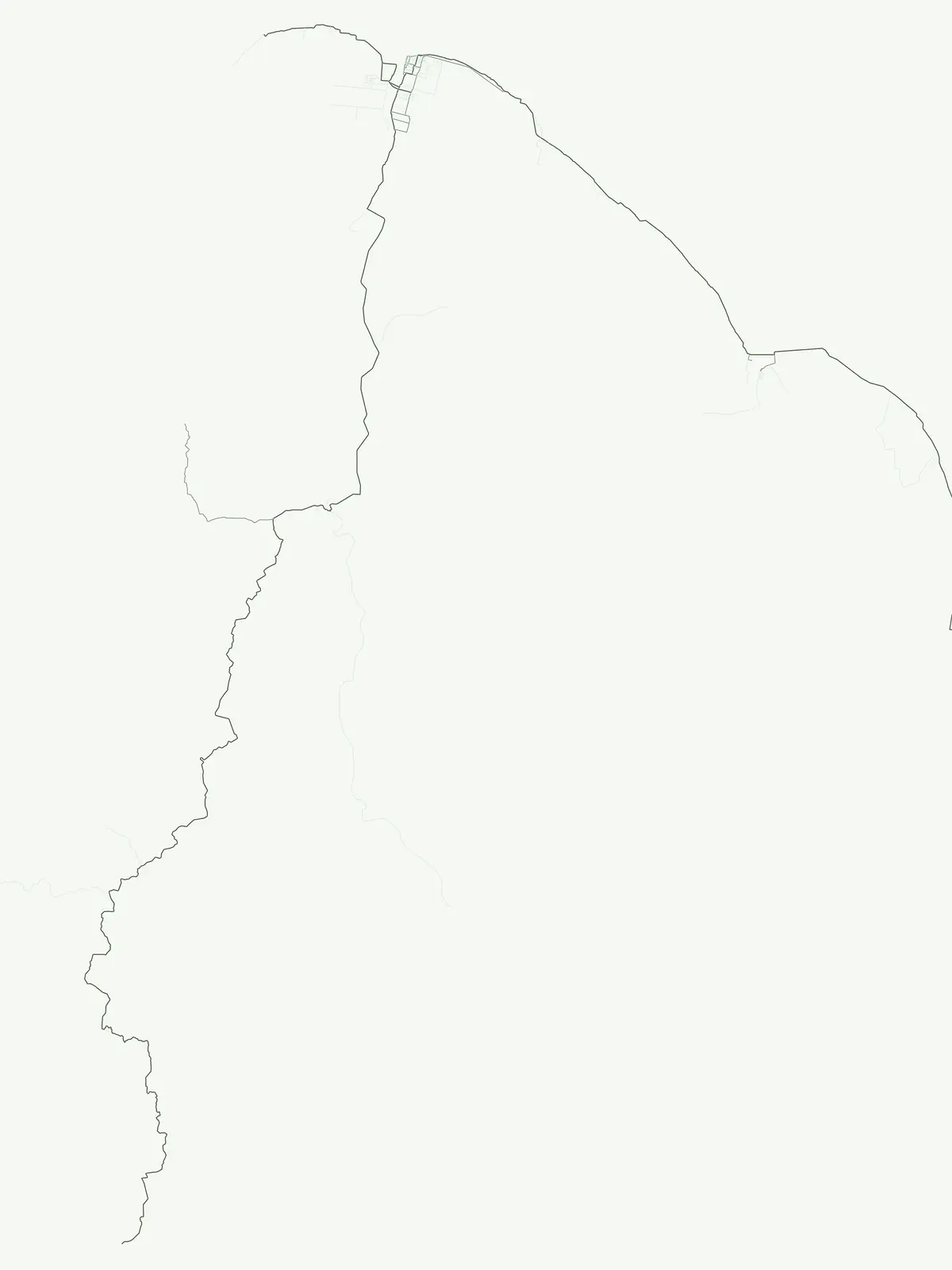
Navigating the diverse landforms and geographic landmarks of Guyana's protected landscapes.
Browse Prominent Natural Features and Landmarks in Guyana Protected Areas
Geographic analysis of river systems in Guyana
Rivers
Analyze the spatial data of major rivers integrated into Guyana national parks and protected areas. This collection highlights the diverse drainage systems, flow paths, and surrounding terrain characteristics defining these vital natural watercourses.
Geographic analysis of hydrological formations in Guyana
Waterfalls
This collection provides a structured overview of named waterfall features documented within the protected lands and national parks of Guyana. Access detailed information regarding the morphological characteristics of these features, including their association with specific river channels and local geological formations. The data serves as a resource for those tracking the distribution of significant hydrological landmarks within the broader Guyanese landscape.
Continue Your Geographic Exploration of Guyana's Protected Lands
Deepen your understanding of Guyana's natural geography by continuing to explore its extensive network of national parks and protected areas. This browseable atlas provides the foundational context for uncovering the mapped boundaries and regional significance of each protected landscape, offering a structured pathway for detailed discovery beyond this country-wide overview.