
Explore Iceland's protected lands organized by designation category for detailed geographic context.
Iceland Protected Area Designations: Browse National Parks and Classification Types
Understand the structured landscape of protected areas in Iceland by exploring its designation families. This route provides an atlas-driven overview of Iceland's national parks and other protected lands, organized by their classification type, enabling focused discovery of their unique geographic characteristics and regional significance.
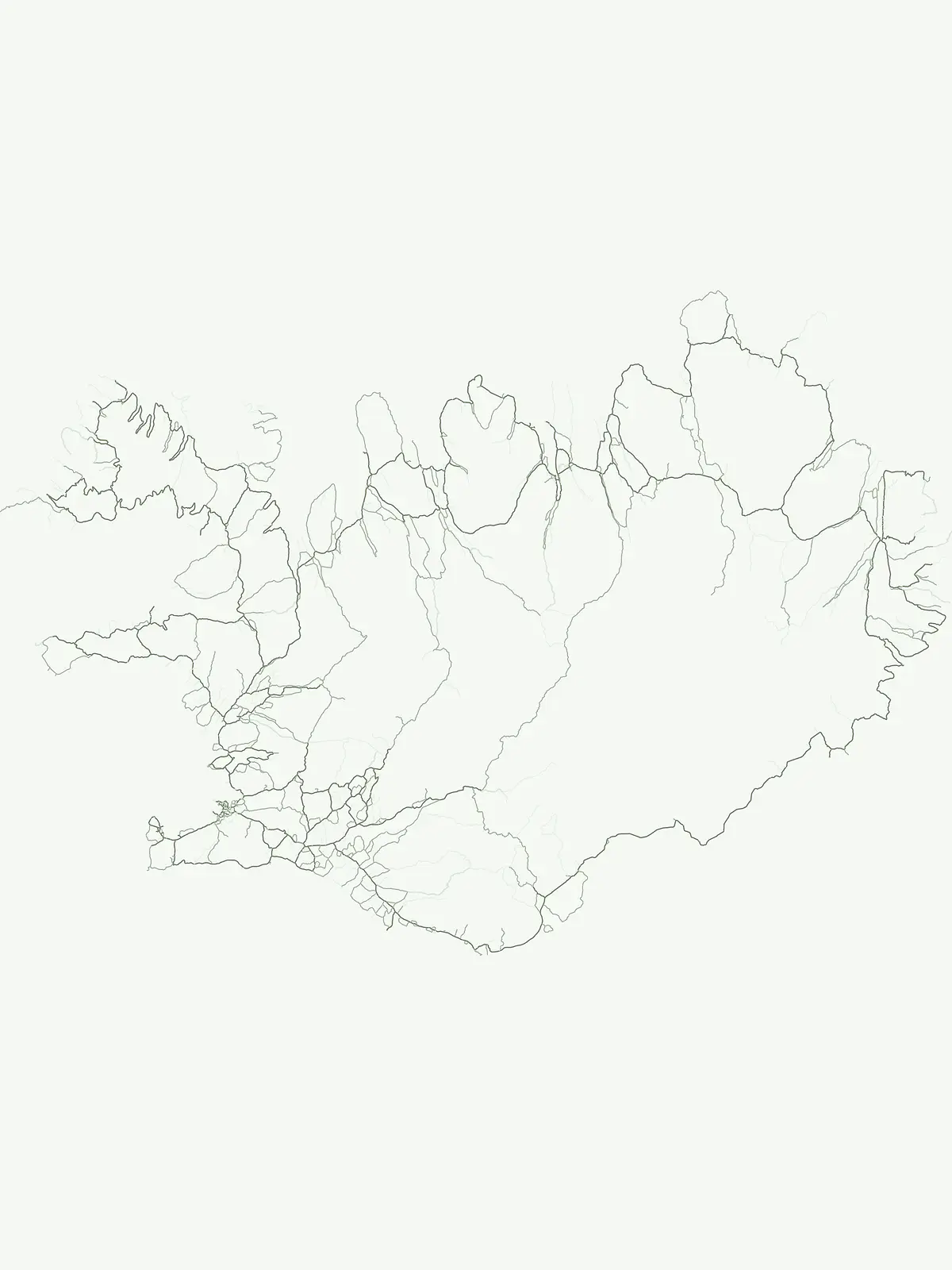
Explore the structure of Iceland's protected area types and their geographic distribution across its unique volcanic and glacial landscapes.
Iceland's National Parks and Protected Area Designations: A Geographic Overview
Browse Iceland's national parks and other protected areas, categorized by their official designations, to understand the country's conservation priorities. This structured view illuminates how Iceland's unique volcanic and glacial landscapes are formally recognized and managed across its diverse regions.
- Represented designations
- 3
- Mapped parks
- 10
Leading designation
National park
Iceland's Protected Area Designations: Exploring the National Park System
Iceland's protected area system is primarily defined by its National Park designations, reflecting a clear emphasis on preserving expansive, iconic natural landscapes with significant national importance. These designated areas comprehensively cover the island nation's dramatic volcanic terrain, extensive glaciers, and unique geothermal activity, offering cohesive geographic protection.
Browse Iceland's National Park designations and their geographic context.
National park
This route provides an index to Iceland's designated National Parks, highlighting their role in the country's protected-area system and offering insights into their unique geography. Examine the placement and natural characteristics of these nationally significant landscapes through a dedicated atlas lens. Discover how these key protected areas are mapped and situated within the broader context of Iceland's natural environment.
Conservation sites across the Icelandic landscape.
Nature reserve
Browse the selection of nature reserves across Iceland. These protected areas serve as key nodes for habitat conservation, biodiversity protection, and the preservation of sensitive terrain features. The mapping provides insight into their role within the broader framework of Icelandic land management and regional ecological stability.
A geographic index of Icelandic natural heritage
Natural monument
Explore the collection of Natural Monuments in Iceland, which highlights areas of exceptional geological or ecological significance. These sites function as protected landmarks that preserve the distinct character of the volcanic and glacial terrain found throughout the country. Access mapped data to locate these singular natural formations.
Continue Exploring Iceland's Protected Landscapes and National Park Geography
Deepen your understanding of Iceland's natural geography by continuing to browse its network of national parks and protected areas. This focused approach allows for a detailed exploration of mapped boundaries and the unique landscape contexts of each conservation zone. Use this dedicated country view to trace the distribution of protected lands across the island nation and compare their distinct geographic features.