Mori Atlas logo
Country parks

Discover the mapped boundaries and distinct protected landscapes spread across the Nordic island nation.

Browse Iceland's National Parks and Protected Areas: A Comprehensive Geographic Atlas

Iceland, a Nordic island nation renowned for its dramatic volcanic terrain and extensive glaciers, hosts a network of significant national parks and protected areas. This browse surface offers a dedicated atlas view, detailing the geographic spread and mapped outlines of these conservation landscapes. Explore the unique natural contexts that define Iceland's protected territories, from geothermal fields to coastal cliffs, supporting a deeper understanding of the country's natural heritage.

Browse Iceland's National Parks and Protected Areas: A Comprehensive Geographic Atlas

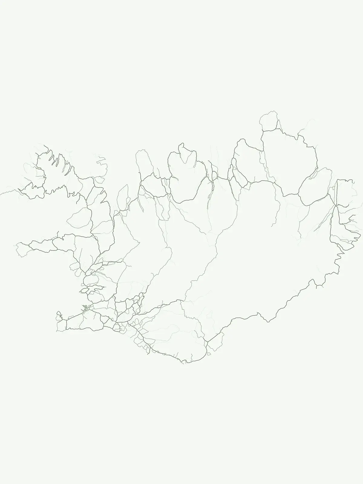
Mapped geographic spread of Iceland's volcanic, glacial, and coastal conservation landscapes

Discover All National Parks, Nature Reserves, and Protected Areas in Iceland

Explore a comprehensive list of Iceland's national parks, nature reserves, and other protected areas, showcasing its dramatic volcanic terrain, extensive glaciers, and unique geothermal activity. Understand the full geographic scope of Iceland's conservation efforts and trace how these diverse protected landscapes are distributed across the northern Atlantic island nation.

Showing 1 to 10 of 10 parks

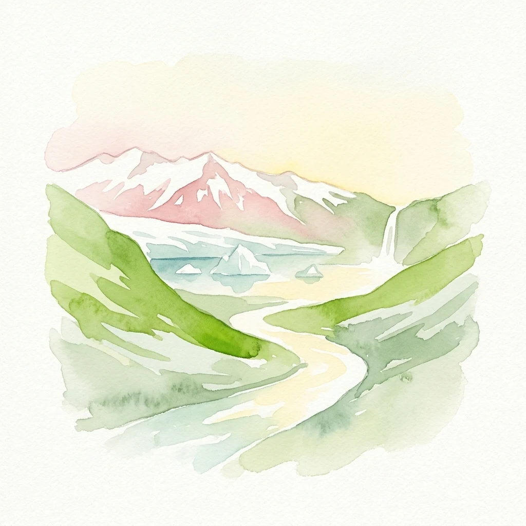
Watercolor illustration showing snow-capped mountains, green hills, a winding river, and a waterfall
National parkIcelandMountain

Vatnajökull National Park

Mapped boundaries of a UNESCO World Heritage site dynamic with fire and ice.

Vatnajökull National Park offers a profound exploration of one of Earth's most dynamic natural environments. This Icelandic national park protects the vast Vatnajökull ice cap, a landscape shaped by active volcanoes and powerful glacial forces, creating a region of extraordinary geographic diversity. Discover the mapped terrain, from subglacial mountain ranges to dramatic caldera systems, and understand the unique protected area context of this significant European natural heritage.

14,967 km²2008SubpolarRemote access
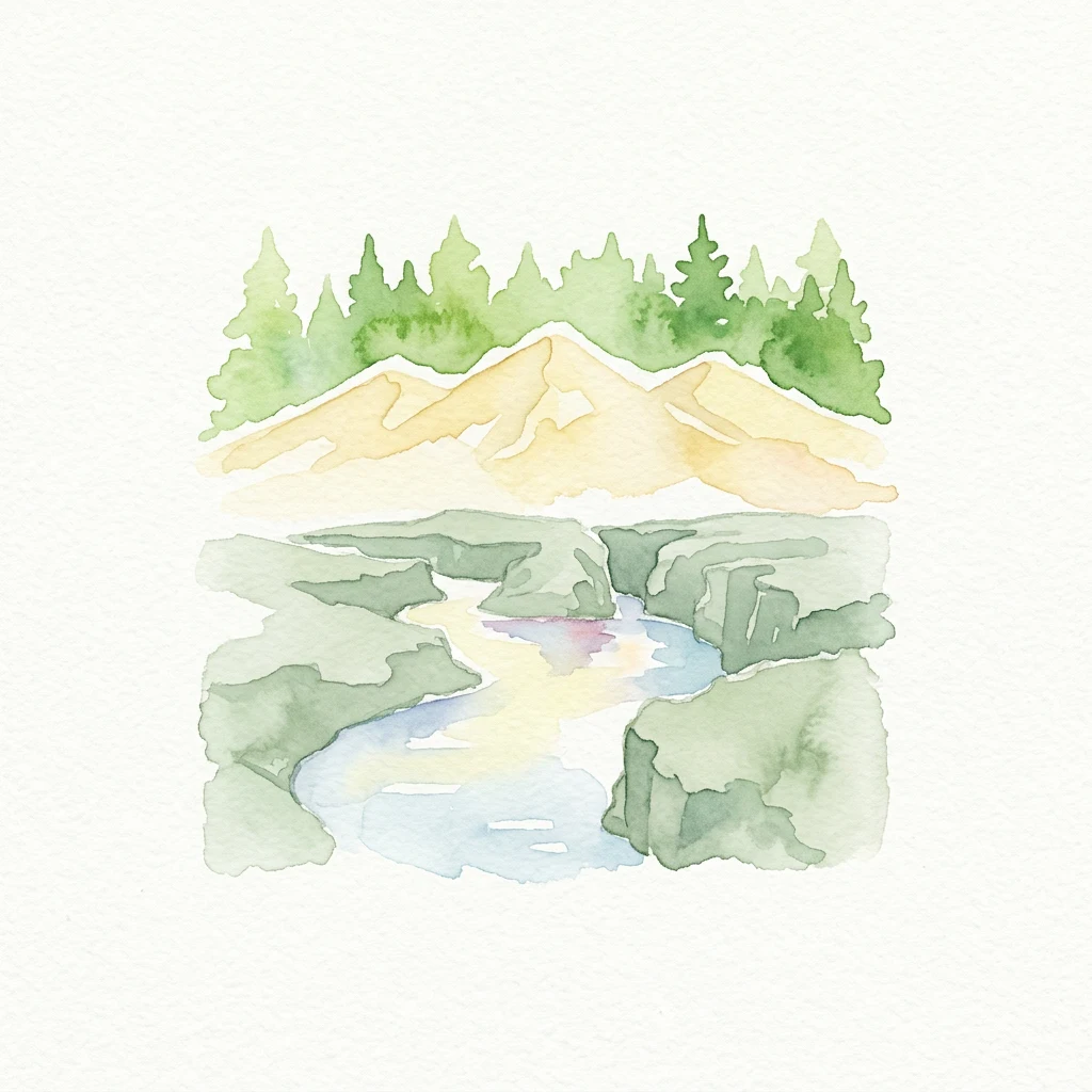
Watercolor illustration showing mountains, a river, and forest
National parkSouthern Region

Þingvellir National Park

Explore the rift valley and historic parliament site in Iceland's Southern Region.

Þingvellir National Park offers a singular opportunity for geographic discovery, situated in Iceland's Southern Region. This protected national park is globally recognized for its visible expression of the Mid-Atlantic Ridge, where the North American and Eurasian tectonic plates actively diverge, creating a dramatic rift valley. Moreover, Þingvellir served as the site of the Althing, Iceland's ancient parliament, making it a crucial historical landmark. Explore this landscape to understand both powerful geological processes and the foundations of Icelandic democratic history through its mapped terrain.

92.7 km²1930SubpolarModerate access
Nature reserveIcelandMarine

Surtsey

A pristine laboratory of North Atlantic volcanic terrain.

Surtsey represents a rare geological event, a volcanic island created by sustained eruptions and now protected as a strict nature reserve. The island acts as a primary research site for observing how life colonizes barren volcanic substrates, from mosses and insects to seabird colonies. Its mapped boundaries encompass dramatic basaltic lava flows and tephra deposits, providing a vital window into the formative processes of oceanic islands.

1.4 km²1963SubpolarHighly restricted
Watercolor illustration of a mountain, lake, and green landscape with pink flowers
National parkIcelandMountain

Snæfellsjökull National Park

Glacial volcanoes, lava fields, and coastal topography.

Snæfellsjökull National Park sits at the western tip of the Snæfellsnes peninsula, creating a unique intersection of glacial, volcanic, and maritime environments. This database provides structured insights into the park's rugged terrain, including its moss-covered lava fields, sea-carved cliffs, and the namesake glacier that dominates the local landscape.

2001II
Watercolor illustration of layered mountains with green and pink peaks and a yellow lake reflection
National parkIceland

Skaftafell National Park

Discover glacial landscapes and volcanic geology.

Skaftafell National Park is a vital protected area in Southeast Iceland, offering a unique atlas-level view of dramatic glacial landscapes. Located at the base of Vatnajökull, Europe's largest glacier, the park features accessible hiking trails that traverse outwash plains, birch woodlands, and glacial tongues like Skaftafellsjökull. Explore the iconic Svartifoss waterfall, framed by striking basalt columns, and understand the park's dynamic terrain shaped by volcanic activity and glacial processes, providing rich geographic context for protected landscape discovery.

1967II
National parkIcelandMarineMountain

Snæfellsjökull National Park

Volcanic peaks and coastal ecosystems of the Snæfellsnes Peninsula.

Snæfellsjökull National Park stands as a defining protected landscape in western Iceland. Defined by its central glacier-crowned stratovolcano, the park territory maps out a complex transition from high-altitude volcanic basalt and lava fields to sheltered bays and dramatic seaside cliffs. This geographic record explores the intersection of glacial ice, maritime habitats, and the volcanic belt that shapes the outer edge of the Snæfellsnes Peninsula.

SubpolarMajor water bodies
Nature reserveIceland

Mývatn

Protected wetland landscapes and volcanic rift zone geography.

Mývatn represents a complex of protected wetlands and volcanic landforms, including the Hverfjall explosion crater and the Skútustaðir pseudocraters. This geography-rich basin in northern Iceland offers insight into post-glacial volcanic activity and serves as an internationally significant breeding site for diverse bird populations within a compact, walkable terrain.

37 km²PolarEasy accessMajor water bodies
Watercolor illustration of a winding path through green hills with rock formations
National parkIcelandMountain

Jökulsárgljúfur National Park

Mapped geography and terrain of a key northern Iceland protected area.

Jökulsárgljúfur National Park, located in northern Iceland, is celebrated for its striking volcanic canyon landscape carved by the powerful Jökulsá á Fjöllum glacial river. This protected area showcases a terrain shaped by ancient glacial outburst floods and volcanic forces, featuring notable geological formations like the Hljóðaklettar echo rocks and iron-colored hills. Understanding Jökulsárgljúfur National Park provides crucial insight into the unique regional geography and the atlas-driven exploration of Iceland's preserved natural heritage.

Remote accessIIMinor water
National parkIcelandMountain

Snæfellsjökull National Park

Mapped geologic features, glacier terrain, and coastal volcanic landmarks.

Snæfellsjökull National Park features a unique assembly of volcanic landforms, including the iconic glacier-capped stratovolcano, the towering Lóndrangar basalt pinnacles, and symmetrical craters like Saxhóll. This protected area offers deep insights into the glacial and submarine origins of western Iceland through its diverse palagonite ridges and extensive lava plains.

170 km²2001Minor water
Natural monumentIcelandMountain

Hveravellir

Central Iceland geothermal field and volcanic plateau

Located on the Kjölur route, Hveravellir serves as a protected natural monument characterized by high-temperature geothermal activity. The area features a concentration of fumaroles, geysers, and mineral-rich springs set upon a stark volcanic plateau. This site offers significant insights into the geological processes shaping the central highlands of Iceland, blending ancient lava fields with active thermal surface transformations.

2.5 km²SubpolarModerate accessMinor water
Other countries

Compare mapped protected landscapes and regional geographies within the broader MoriAtlas.

Discover National Parks and Protected Areas in Other Countries Beyond Iceland

Beyond Iceland, you can browse a structured atlas of national parks and protected areas across other countries, comparing diverse conservation landscapes. This cross-country view facilitates geographic discovery, allowing users to understand the regional context and distribution of protected terrain worldwide.

United Kingdom National Parks and Protected Areas: A Geographic Atlas

MoriAtlas facilitates the geographic exploration of national parks and protected areas within the United Kingdom. Delve into the mapped boundaries of natural landscapes, understand their regional distribution, and navigate the country's protected land entities through a structured atlas perspective. Discover the diverse geographic context of conservation efforts across England, Scotland, Wales, and Northern Ireland.

88 parks

Denmark National Parks and Protected Landscapes: A Geographic Atlas Overview

This atlas entry for Denmark allows for the exploration of its national parks and protected areas, focusing on their geographic distribution and mapped boundaries. Understand the context of these protected lands within the broader landscape of Denmark, facilitating structured discovery of natural terrain and conservation areas through an intuitive, map-aware interface.

87 parks

Norway Protected Areas and National Parks Geographic Atlas Explorer

Discover the breadth of Norway's protected natural areas with MoriAtlas. This country-level atlas entry point allows you to explore the geographic distribution of national parks and conservation landscapes. Understand the spatial context of protected areas across Norway's diverse terrains, from the mainland Scandinavian Peninsula to its arctic territories, all within a structured, map-aware framework.

55 parks

Explore Netherlands National Parks and Protected Areas with the MoriAtlas Geographic Navigator

Navigate the rich tapestry of Netherlands' protected natural areas and national parks using a geography-first approach. This platform provides an atlas view of mapped landscapes, enabling detailed exploration of park boundaries and their regional significance. Understand the distribution and context of conservation lands within the Netherlands, offering a structured foundation for geographic discovery and analysis of natural terrains.

50 parks

Finland National Parks and Protected Areas: Explore Geographic Distribution

Access a structured geographic atlas for Finland, detailing its national parks and protected areas. This resource facilitates exploration of the country's diverse natural landscapes, emphasizing mapped boundaries and regional context. Understand how protected lands are distributed across Finland, providing a clear overview for geographic discovery and atlas-based navigation of its natural terrain.

42 parks

Explore Sweden's National Parks and Protected Areas: A Geographic Atlas View

Navigate Sweden's rich collection of national parks and protected areas through MoriAtlas. This platform provides a structured overview of their geographic distribution, allowing for detailed map-based exploration of protected lands. Understand the landscape context and regional geography of Sweden's natural reserves, facilitating a comprehensive discovery of its conservation areas.

29 parks

Belgium National Parks and Protected Areas: An Atlas of Mapped Natural Landscapes

Delve into the structured geography of Belgium's protected natural areas with MoriAtlas. This country-level atlas entry point reveals the mapped distribution of national parks and other protected lands, providing essential geographic context. Understand the landscape patterns and navigate through Belgium's conservation areas, enabling a deeper appreciation of its natural terrain and protected regions.

13 parks

Explore Ireland's National Parks and Protected Areas on the MoriAtlas

This section of MoriAtlas offers a structured view of Ireland's national parks and protected areas. Use our platform to understand the geographic distribution of protected lands across the island. Each entity is presented with detailed mapping and geographic context, facilitating comprehensive atlas-style exploration of Ireland's diverse natural landscapes and conservation areas.

8 parks

Protected area types

Continue Exploring Iceland's Protected Area Classifications and National Parks

Deepen your understanding of Iceland's protected landscape by continuing to browse its classification categories. This route offers a structured path into the specific geography and atlas context of each represented designation, revealing how Iceland's natural terrain is organized for conservation.

Iceland Protected Area Designations
MoriAtlas Explorer

Continue Exploring Iceland's Protected Areas with Advanced Filters

Deepen your understanding of Iceland's natural reserves by leveraging advanced search capabilities. Move beyond general browsing to actively filter and compare protected lands based on specific geographic features and conservation significance. This focused approach reveals the full spectrum of Iceland's unique park geography and mapped landscapes, facilitating structured discovery.

Global natural geography