National parkMountain

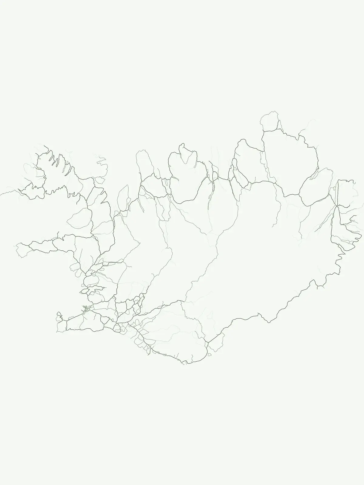
Vatnajökull National Park
Mapped boundaries of a UNESCO World Heritage site dynamic with fire and ice.
Vatnajökull National Park offers a profound exploration of one of Earth's most dynamic natural environments. This Icelandic national park protects the vast Vatnajökull ice cap, a landscape shaped by active volcanoes and powerful glacial forces, creating a region of extraordinary geographic diversity. Discover the mapped terrain, from subglacial mountain ranges to dramatic caldera systems, and understand the unique protected area context of this significant European natural heritage.
14,967 km²2008SubpolarRemote access