
Climate profileTurkey
Sultan Reedy National Park
- Annual mean
- 7.5 °C
- Warmest month
- August
- Wettest month
- December

A twelve-month profile of temperature, precipitation, humidity, wind, and daylight levels
Access a precise climatological overview for Aladağlar National Park based on long-term data from 1991 to 2020. These measurements represent atmospheric conditions at a specific park coordinate, providing an objective comparison of monthly temperature extremes, precipitation rates, humidity, and daylight duration. Use this data to understand the established annual climate rhythm of the area.

Tracing the relationship between seasonal thermal fluctuations and daily precipitation rates
Evaluating long term climate averages for temperature bounds, daily precipitation, and daylight hours
| Mean temperature | Precipitation | Humidity | Wind speed | Daylight | |
|---|---|---|---|---|---|
| January | -4 °C-15.7° to 6.2° | 1.7 mm/day | 85.3% | 3.6 m/s | 9.7 hours |
| February | -2.8 °C-15.3° to 8.3° | 1.5 mm/day | 83.2% | 3.7 m/s | 10.6 hours |
| March | 1.1 °C-10° to 13.5° | 1.5 mm/day | 76.3% | 3.8 m/s | 11.8 hours |
| April | 5.8 °C-5.3° to 18.9° | 1.5 mm/day | 70.6% | 3.4 m/s | 13 hours |
| May | 10.8 °C-0.6° to 23.2° | 1.5 mm/day | 66.2% | 3 m/s | 14.1 hours |
| June | 15.3 °C3.8° to 27.8° | 1 mm/day | 58.7% | 3.2 m/s | 14.6 hours |
| July | 18.7 °C6.4° to 31.6° | 0.3 mm/day | 49.1% | 3.6 m/s | 14.3 hours |
| August | 19.2 °C6.8° to 32° | 0.2 mm/day | 44.8% | 3.3 m/s | 13.4 hours |
| September | 15.3 °C2.7° to 28.6° | 0.5 mm/day | 46.9% | 2.8 m/s | 12.2 hours |
| October | 9.6 °C-2.2° to 22.7° | 1 mm/day | 59.9% | 2.9 m/s | 11 hours |
| November | 3.1 °C-7.2° to 15.5° | 1.5 mm/day | 70.8% | 3.1 m/s | 9.9 hours |
| December | -1.7 °C-12.4° to 9.1° | 1.9 mm/day | 81.5% | 3.4 m/s | 9.4 hours |
See two months side by side and how much they differ. Both use the same 1991–2020 climate normals and NASA POWER data point as the table above, so they show typical conditions, not a forecast.
Identifying the relative monthly maximums and minimums across key atmospheric and daylight variables
Interactive climate map
Open the climate map to compare monthly temperature, precipitation, and other averages.
Examine monthly temperature, precipitation, and wind patterns across diverse protected landscapes.
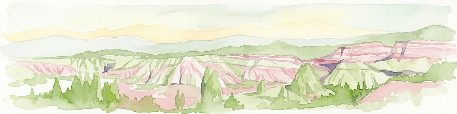


Deepen your understanding of Aladağlar National Park by exploring its comprehensive geographic profile and mapped landscape features. Discover how this significant protected area fits within the broader Atlas of Turkey's natural terrains. MoriAtlas facilitates detailed exploration of its rugged alpine environment, providing essential context for appreciating the unique geological formations and high-altitude ecosystems that define this remarkable national park.