Mori Atlas logo
Park earthquake history

A historical catalogue of regional earthquake data associated by epicentre proximity.

Recorded Historical Seismic Activity and Earthquake Records for Black Forest National Park

This collection serves as a focused index of historical earthquake records situated in the vicinity of Black Forest National Park. It compiles structured seismic data including event magnitudes, depths, and calculated distances from the park boundaries based on historical catalogues. The information facilitates a transparent look at regional seismic history without assessing future hazards or implying causal links to the protected landscape.

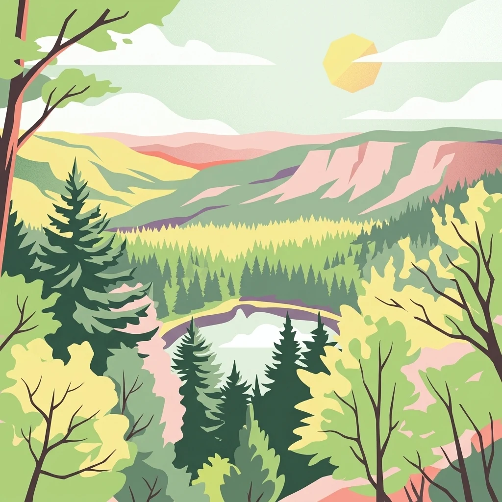
Stylized illustration of a forested valley with mountains, a lake, and a sun

Germany's newest national park protecting the rugged highland forests of the Northern Black Forest

Black Forest National Park

Black Forest National Park is Germany's newest national park, established in 2014 in the southwestern German state of Baden-Württemberg. It occupies the main crest of the Northern Black Forest, spanning the highland terrain between the famous Black Forest High Road and the Murg river valley. The park covers 10,062 hectares across two separate but connected areas: the larger Ruhestein section in the southeast and the smaller High Ochsenkopf/Plättig area to the northwest. This protected area represents the first and only national park in Baden-Württemberg, filling a significant gap in Germany's network of protected landscapes.

Location
Germany
Park type
National park
Established
2014
Area
100.6 km²
Highest point
1,150 m
Black Forest National Park Protected Area

Trace regional seismic activity data through historical magnitudes, depths, and distances.

Historical Earthquake Records and Epicentres Near Black Forest National Park

The structured database compiles historical seismic events detected near Black Forest National Park, using calculated epicentre distances to establish geographic proximity. Each recorded entry displays key factual attributes including the origin date, magnitude, focal depth, reported location, and direct distance to the park boundary alongside scientific data sources.

Sort by
Magnitude
Location

This page describes catalogued earthquakes associated with the park by epicentre location and distance. It does not establish causation, assess current danger, or predict future earthquakes.

No earthquake records match the current filters

Park atlas

Navigate diverse conservation territories and key natural reserves across the atlas.

Discover Global Protected Areas and National Parks Beyond Black Forest National Park

Moving beyond the local geographic features of Black Forest National Park opens a wider directory of global protected landscapes and wilderness reserves. Structured geographical coordinates help searchers compare international park boundaries, regional conservation statuses, and diverse terrain profiles.
Nature reserveBaden-Württemberg
13 km away#1 closest

Northeast

Eyach oberhalb Neuenbürg Nature Reserve: Mapped Geography and Protected Area Context

A diverse habitat mosaic in the northern Black Forest highlands

The Eyach oberhalb Neuenbürg nature reserve protects an intricate valley system that cuts through the northern Black Forest. This site is defined by its rich variety of forest, grassland, and rocky habitats clustered across steep hillsides and plateau surfaces. The data highlights the essential land cover and topographical features that sustain this protected area within the Baden-Württemberg regional landscape, offering a precise look at its ecological configuration and physical boundaries.

Area
3.219 km²
Established
2019
Relief
Mountain
Climate
Temperate
Protected landscapeBaden-Württemberg
About 13 km away#2 closest

Southeast

Plenter- und Femelwälder Protected Landscape and Central Black Forest Map

Historic selection forests and regional geography near Loßburg

Discover the complex landscape of Plenter- und Femelwälder, a protected area shaped by centuries of Plenterwald and Femelwald silviculture. This region features varied topography across the Grindenschwarzwald and Mittlerer Schwarzwald, offering a detailed look at forest stand diversity and the stream-carved valleys of the Kinzig drainage basin.

Area
9.357 km²
Established
1939
IUCN
V
Relief
Highland
Protected landscapeBaden-Württemberg
About 18 km away#3 closest

Northeast

Staatswald südlich Bernbach: Protected Landscape and Forested Ridge Atlas

Regional geography of the northern Black Forest in Baden-Württemberg

Staatswald südlich Bernbach represents a key protected landscape area in the northern Black Forest. Known for its continuous woodland covering peaks like the Tannschachberg and the Pfahlwald, the area also preserves unique wetland biotopes and designated natural monuments. This atlas entry provides a detailed look at the geographic boundaries and ecological context of this protected ridge system within the Calw district.

Area
6.471 km²
Established
1953
IUCN
V
Relief
Mountain
Protected landscapeBaden-Württemberg
About 18 km away#4 closest

East

Waldachtal mit Seitentälern Protected Landscape and Stream Corridor Map

Regional geography in the northern Black Forest

Waldachtal mit Seitentälern consists of a compact network of four protected valley sections centered on the Waldach river in Baden-Württemberg. The terrain features a mosaic of springs, ponds, and wet meadows, providing critical ecological connectivity between the forested Black Forest plateaus and the adjacent open Gäu uplands.

Area
2.923 km²
Established
1998
IUCN
V
A horizontal watercolor painting showing a winding river through a soft green valley with rolling hills in the background.
Protected landscapeBaden-Württemberg
About 20 km away#5 closest

East

Nagoldtal Protected Landscape: Geography and River Valley Map of the Calw District

A northern Black Forest river corridor spanning eight municipalities

Analyze the territorial structure of Nagoldtal, a designated protected landscape spanning over four thousand hectares in the Calw district. The valley scenery reflects the intersection of the Schwarzwald-Randplatten and the Obere Gäue, characterized by a mosaic of forested slopes, open river valleys, and historical settlement patterns that define this prominent conservation corridor in southwestern Germany.

Area
43.584 km²
Established
1971
IUCN
V
Relief
Upland
Protected landscapeBaden-Württemberg
About 21 km away#6 closest

Southeast

Hachtel und Türnental Protected Landscape: Map, Geography, and Regional Setting in Germany

A traditional Muschelkalk valley and riparian landscape in Baden-Württemberg.

Discover the geographic composition of Hachtel und Türnental, a protected landscape in Dornhan, Baden-Württemberg. This area preserves a fine-grained mosaic of meadows, gallery woodland along the Türnenbach stream, and old fruit orchards that define the traditional rural character of the Obere Gäue plateaus.

Area
0.597 km²
Established
1962
IUCN
V
Nature reserveBas-Rhin
About 21 km away#7 closest

Northwest

Réserve naturelle nationale de la forêt d'Offendorf: Rhine Floodplain Protected Area

Alluvial forest and wetland geography in Bas-Rhin

Spanning sixty hectares along the Rhine, this nature reserve protects a mosaic of softwood and hardwood alluvial forests. The landscape serves as a key reference for the Alsatian Ried, illustrating the structural variety of ancient river channels, gravel banks, and riparian habitats found throughout this part of France.

Area
0.591 km²
Established
1989
IUCN
IV
Protected landscapeBaden-Württemberg
About 24 km away#8 closest

East

Teinachtal mit Seitentälern: Protected River Valley Landscape in the Northern Black Forest

Geographic map overview of the Teinach river valley and tributary systems.

The Teinachtal mit Seitentälern protected area serves as a significant conservation zone in the Landkreis Calw. This landscape, integrated with the Naturpark Schwarzwald Mitte and Nord, preserves a richly structured network of stream corridors and forest slopes that connect diverse local habitats.

Area
12.606 km²
Established
2000
IUCN
V
MoriAtlas Explorer

Continue Exploring Black Forest National Park's Mapped Geography and Regional Atlas Context

Deepen your understanding of Black Forest National Park by exploring its precise geographic features and mapped boundaries. This detailed atlas entry provides essential context for appreciating its role as a protected landscape within Baden-Württemberg. Continue your discovery to see how this national park fits into the wider regional geography and protected area network.