Mori Atlas logo
Park earthquake history

A historical catalogue of regional earthquake data associated by epicentre proximity.

Recorded Historical Seismic Activity and Earthquake Records for Black Forest National Park

This collection serves as a focused index of historical earthquake records situated in the vicinity of Black Forest National Park. It compiles structured seismic data including event magnitudes, depths, and calculated distances from the park boundaries based on historical catalogues. The information facilitates a transparent look at regional seismic history without assessing future hazards or implying causal links to the protected landscape.

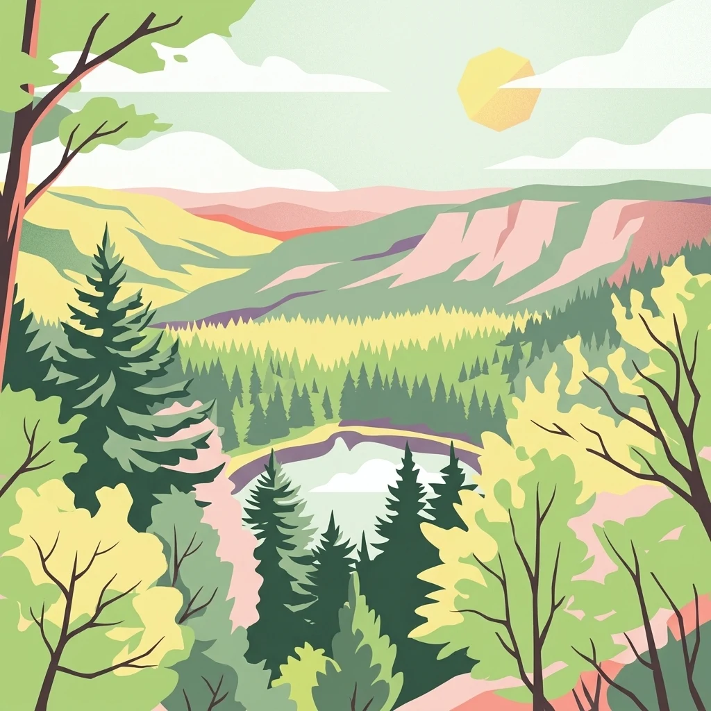
Stylized illustration of a forested valley with mountains, a lake, and a sun

Germany's newest national park protecting the rugged highland forests of the Northern Black Forest

Black Forest National Park

Black Forest National Park is Germany's newest national park, established in 2014 in the southwestern German state of Baden-Württemberg. It occupies the main crest of the Northern Black Forest, spanning the highland terrain between the famous Black Forest High Road and the Murg river valley. The park covers 10,062 hectares across two separate but connected areas: the larger Ruhestein section in the southeast and the smaller High Ochsenkopf/Plättig area to the northwest. This protected area represents the first and only national park in Baden-Württemberg, filling a significant gap in Germany's network of protected landscapes.

Location
Germany
Park type
National park
Established
2014
Area
100.6 km²
Highest point
1,150 m
Black Forest National Park Protected Area

Trace regional seismic activity data through historical magnitudes, depths, and distances.

Historical Earthquake Records and Epicentres Near Black Forest National Park

The structured database compiles historical seismic events detected near Black Forest National Park, using calculated epicentre distances to establish geographic proximity. Each recorded entry displays key factual attributes including the origin date, magnitude, focal depth, reported location, and direct distance to the park boundary alongside scientific data sources.

Sort by
Magnitude
Location

This page describes catalogued earthquakes associated with the park by epicentre location and distance. It does not establish causation, assess current danger, or predict future earthquakes.

No earthquake records match the current filters

Park atlas

Navigate diverse conservation territories and key natural reserves across the atlas.

Discover Global Protected Areas and National Parks Beyond Black Forest National Park

Moving beyond the local geographic features of Black Forest National Park opens a wider directory of global protected landscapes and wilderness reserves. Structured geographical coordinates help searchers compare international park boundaries, regional conservation statuses, and diverse terrain profiles.
Watercolor painting of a forested landscape with rolling hills and distant mountains under a pale sky
National parkSaarland
135 km away#1 closest

Northwest

Hunsrück-Hochwald National Park: Saarland Protected Area Atlas and Landscape Context

Explore the mapped terrain and protected geography of this German national park.

Delve into the specific geography and protected landscape of Hunsrück-Hochwald National Park in Saarland. This detail page provides an atlas-centric view of the park's mapped boundaries, regional context, and its role as a national park. It serves as a foundational point for understanding the park's landscape features and its placement within the broader geographic atlas.

Area
100 km²
Established
2015
IUCN
II
Relief
Mountain
Watercolor illustration of a landscape with rolling hills, a river, and green vegetation
Protected areaProvince of Luxembourg
203 km away#2 closest

Northwest

Gaume Natural Park: A Protected Area Defining the Landscape of Province of Luxembourg

Explore its mapped natural landscape and geographic context.

Gaume Natural Park is a protected area offering a unique perspective on the natural landscapes found within Belgium's Province of Luxembourg. As a key geographic entity, it provides a vital component for atlas exploration, showcasing distinct mapped boundaries and regional terrain. Understand its significance as a protected natural space contributing to the Ardennes region's extensive geography, making it an essential point for structured discovery of protected lands.

Area
581.04 km²
Established
2014
IUCN
V
Relief
Lowland
Watercolor illustration of a forested landscape with rolling hills, distant mountains, and a sky with soft pastel colors
National park
235 km away#3 closest

West

Forêts National Park: A Protected Landscape of Lowland Deciduous Forests

Explore its unique geography and protected forest ecosystems.

Delve into Forêts National Park, a significant protected area in northeastern France dedicated to preserving lowland deciduous forests and their associated biodiversity. This park represents a unique atlas entry for understanding mapped protected lands, featuring extensive broad-leaved forest tracts, diverse wetlands, and limestone grasslands across the Grand Est and Bourgogne-Franche-Comté regions. Discover the geographic identity of this conservation landscape and its role within the Paris Basin's terrain.

Area
560 km²
Established
2019
IUCN
II
Relief
Lowland
Watercolor illustration of rolling green hills and meadows with patches of pink and yellow flowers
National parkNorth Rhine-Westphalia
241 km away#4 closest

Northwest

Eifel National Park: North Rhine-Westphalia Protected Area Atlas

Explore mapped boundaries and regional geography.

Gain a structured understanding of Eifel National Park, a key protected area within Germany's North Rhine-Westphalia region. This page focuses on its geographic identity, detailing mapped boundaries and offering context within the state's broader natural landscapes. MoriAtlas enhances your exploration by presenting Eifel National Park as a distinct entity within a larger geographic framework, ideal for atlas-based research and understanding protected land distribution.

Area
107 km²
Established
2004
IUCN
II
Relief
Upland
Protected landscapeBelgium
About 244 km away#5 closest

Northwest

Hohes Venn, Eifel Nature Park: A Protected Landscape in Belgium for Geographic Atlas Exploration

Explore mapped natural terrain and protected area details.

The Hohes Venn, Eifel Nature Park in Belgium represents a key protected landscape for atlas and geographic discovery. This entry focuses on the park's specific identity, its geographic setting within Belgium, and the value it holds for users interested in mapped terrain and protected area exploration. Understand the landscape context and the detailed geographic information available for this significant natural area, supporting structured learning about Belgium's conservation efforts.

IUCN
V
Watercolor painting of a mountain range with a lake, green hills, and a sunset sky
National parkTrentino-Alto Adige/Südtirol
250 km away#6 closest

Southeast

Stelvio National Park National Park: Protected Landscape and Regional Geographic Context

Explore its mapped boundaries and natural terrain.

Navigate Stelvio National Park, a designated national park in Italy's Trentino-Alto Adige/Südtirol region, through a map-centric lens. This page provides critical context for understanding the park's protected landscape, its geographic position within the Alps, and its mapped terrain. Utilize MoriAtlas to grasp the park's boundaries and its place in regional geography for structured natural landscape discovery.

Established
1935
IUCN
II
Relief
Mountain
Scope
Terrestrial
Watercolor illustration showing green mountains, forests, a river, and snow-capped peaks in the distance
National parkPiedmont
266 km away#7 closest

South

Val Grande National Park: National Park Protected Landscape in Piedmont

Explore its mapped boundaries and regional geographic context.

Val Grande National Park represents a key protected landscape within the Piedmont region of northwest Italy. This canonical page offers detailed insights into the park's designated status as a national park, its specific geographic placement, and its mapped protected boundaries. Users can navigate its atlas-level details to understand its role in the regional geography and conservation landscape, providing a structured foundation for further discovery of Italy's natural protected areas.

Area
170.21 km²
Established
1992
IUCN
II
Relief
Mountain
Watercolor painting showing a landscape with hills, forest, and a body of water
National parkHesse
271 km away#8 closest

North

Kellerwald-Edersee National Park: Hesse's Protected Landscape Exploration

Mapped boundaries and geographic context for this German national park.

Navigate the protected landscape of Kellerwald-Edersee National Park, a key national park situated in the German state of Hesse. This atlas entry focuses on its precise geographic definition, mapped terrain features, and the broader regional context it occupies within central Germany. Gain structured insights into the park's conservation significance and its place in the mapped landscape.

Area
76.88 km²
Established
2004
IUCN
II
Relief
Highland
MoriAtlas Explorer

Continue Exploring Black Forest National Park's Mapped Geography and Regional Atlas Context

Deepen your understanding of Black Forest National Park by exploring its precise geographic features and mapped boundaries. This detailed atlas entry provides essential context for appreciating its role as a protected landscape within Baden-Württemberg. Continue your discovery to see how this national park fits into the wider regional geography and protected area network.