
Mori Atlas logo
Park earthquake history

A chronological archive of epicentres and magnitude data linked to this pre-Alpine wetland.

Recorded Seismic Activity and Earthquake History Near Bodenmöser und Hengelesweiher

This historical catalogue provides a structured list of seismic events recorded within proximity to the Bodenmöser und Hengelesweiher protected landscape in the Westallgäu region. Each entry displays data sourced from geological archives, including event dates, magnitude ratings, focal depths, and epicentre distances measured relative to the protected area boundaries. The collection offers a clear, objective view of the recorded earthquake history associated with this diverse mosaic of bogs, fens, and woodlands.

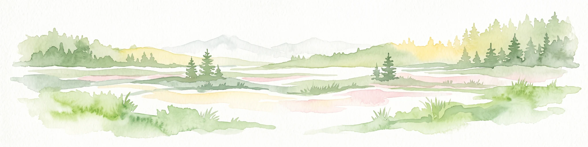
An illustration of a marshy wetland with pools of water, sparse trees, and a sunlit horizon.

A fragmented Allgäu wetland mosaic protecting raised bogs, fens, and species-rich waters.

Bodenmöser und Hengelesweiher

Bodenmöser und Hengelesweiher is a Natura 2000 protected area in the southeastern corner of Baden-Württemberg, Germany, within the Westallgäu hill country south of the Obere Argen and around the town of Isny im Allgäu. The site is a complex of eight separate parcels totaling roughly 759 hectares, drawn together under the European Habitats Directive to protect some of the last intact peatland and aquatic habitats in the pre-Alpine Westallgäu. Although it carries the name of a single continuous area, the protected zone is genuinely a landscape mosaic rather than a unified block. The individual components range in elevation from about 675 to 827 meters and include raised and transitional bogs, fens, dystrophic ponds, nutrient-poor lakes, fragments of upland brook habitat, wet meadows, montane spruce forest, and alder floodplain woodland. It overlaps with both the Bodenmöser and Hengelesweiher nature reserves and the Bodenmöser bird protection area. The site's defining importance lies in the combination of threatened peat-forming habitats with still-water ecosystems of different chemistries, all set within the broader Westallgäu hill landscape near the Adelegg range. Its protected status was proposed by the Tübingen regional council in 2005 and formalized by regulation in late 2018, taking effect in January 2019.

Location
Germany
Park type
Nature reserve
Established
2019
Area
7.6 km²
Bodenmöser und Hengelesweiher Geography and Protected Map

Compare Bodenmöser und Hengelesweiher records by date, depth, place, and distance

Examine recorded earthquakes around Bodenmöser und Hengelesweiher

The earthquake search for Germany’s Bodenmöser und Hengelesweiher is an evidence index built from recorded epicentres and their calculated relationship to the protected site. Dates, reported magnitudes, depths, place descriptions, and original-source links let you inspect the historical entries directly; they do not prove that an event occurred within the reserve or affected its ponds and moorland.

Sort by
Magnitude
Location

This page describes catalogued earthquakes associated with the park by epicentre location and distance. It does not establish causation, assess current danger, or predict future earthquakes.

No earthquake records match the current filters

Park atlas

Broaden discovery beyond Bodenmöser und Hengelesweiher earthquake records

Find more protected parks after Bodenmöser und Hengelesweiher

A separate protected park collection continues the atlas beyond the Bodenmöser und Hengelesweiher earthquake catalogue. The destinations are not represented as sharing German wetlands, legal status, earthquake observations, geological traits, proximity, seismic relevance, hazards, risk, or equivalent content.
A soft watercolor painting showing rolling green hills and a forested ridgeline against a pale sky on a white background.
Nature reserveBaden-Württemberg
0.6 km away#1 closest

East

Adelegg Nature Reserve: Geographic Profile of an Alpine-Influenced Forested Ridge in Baden-Württemberg

Mapping deep ravine terrain and protected forest mosaics in Germany

The Adelegg nature reserve represents a vital Natura 2000 site within the Westallgäu region. This protected area features a striking vertical relief composed of steep, forested slopes and high-elevation grasslands. Explore the geographic layout of this ridge, which includes a complex array of calcareous beech forests, rare orchid habitats, and diverse ravine ecosystems that define this rugged southwestern German landscape.

Area
6.33 km²
Established
2019
Relief
Mountain
Climate
Temperate
A horizontal watercolor illustration depicting a soft, atmospheric landscape with marshy ground, scattered evergreen trees, and distant hills.
Nature reserveLandkreis Oberallgäu
About 10 km away#2 closest

East

Schönleitenmoos im Wierlinger Forst Protected Nature Reserve and Allgäu Bog Landscape

Raised bog geography on the Rhine-Danube watershed in Germany.

Schönleitenmoos im Wierlinger Forst is a compact nature reserve characterized by its well-preserved raised bog sequence and post-glacial origins. This site in the Oberallgäu district is essential for studying peatland vegetation zones and the rare occurrence of the rust-leaved alpine rose outside the high Alps, offering a detailed perspective on Bavarian landscape formation.

Area
0.23 km²
Established
1960
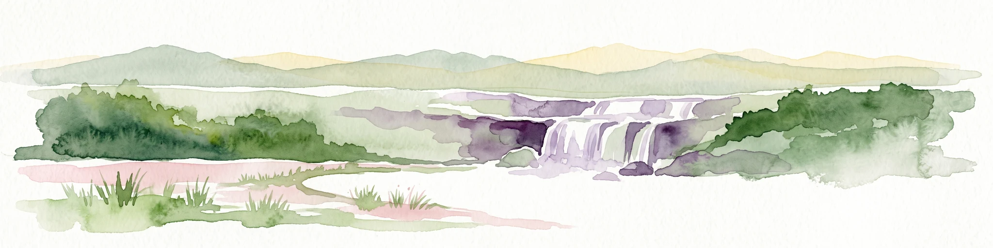
Watercolor illustration of a lush natural ravine with a small cascading waterfall, surrounded by green forest slopes and distant rolling hills.
Nature reserveBavaria
About 13 km away#3 closest

East

Rohrbachtobel im Wirlinger Forst Nature Reserve and Bavarian Pre-Alpine Forest Geography

Mapped protected gorge landscapes and molasse geology in the Oberallgäu district

Rohrbachtobel im Wirlinger Forst offers a unique look at small-scale protected landscapes in Germany. This nature reserve features a dramatic stream-cut gorge and serves as a natural habitat for diverse plant species, including European yew and multiple orchid varieties, within the wider context of the Bavarian pre-Alpine forest zone.

Area
0.14 km²
Established
1959
Relief
Upland
Scope
Terrestrial
Protected landscapeBaden-Württemberg
About 14 km away#4 closest

North

Uferbewuchs der Eschach Protected Landscape and Riparian Corridor Map

Riparian conservation within the Riß-Aitrach-Platten of Baden-Württemberg

Tracing the protected linear riparian corridors of the Eschach stream, this area is a significant example of urban-edge conservation in Germany. It maintains continuous stream-bank vegetation through the Leutkirch municipal landscape, linking directly to broader floodplain habitats of the Aitrach river system through its glacial-plateau geographic setting.

Established
1953
IUCN
V
A soft, panoramic watercolor painting featuring green, rolling hills and a winding river or stream through a forested landscape against a bright, hazy sky.
Nature reserveBaden-Württemberg
15 km away#5 closest

Northwest

Altdorfer Wald Nature Reserve: Geographic Atlas and Protected Landscape Overview

Mire, spring, and forest ecosystems in Baden-Württemberg

The Altdorfer Wald nature reserve consolidates a significant network of watercourses, peatlands, and old-growth forest stands across the Upper Swabian Pre-Alpine hills. This protected area stands as a primary focal point for understanding the interplay between hydrological richness, calcareous deposits, and diverse temperate forest habitats within the regional geography of Baden-Württemberg.

Area
13.71 km²
Established
2019
Relief
Upland
Climate
Temperate
Nature reserveBavaria
About 20 km away#6 closest

South

Nagelfluhkette Nature Park: Mapping the Alpine Ridges and Conglomerate Landscapes

A cross-border nature reserve in the Bavarian Alps.

Nagelfluhkette Nature Park is defined by its dramatic vertical transitions and unique Nagelfluh conglomerate geology. This protected area connects valley wetlands like the Großer Alpsee with steep mountain summits along the Hochgrat ridge. The region serves as an essential example of integrated conservation, linking forests, high-altitude moorlands, and traditional alpine agricultural landscapes across the Bavarian and Vorarlberg border.

Area
480 km²
Established
2008
Relief
Mountain
Climate
Alpine
A soft watercolor painting of a rolling landscape featuring a winding river, grassy plains, and distant hills in muted green, pink, and yellow tones.
Protected landscapeBodenseekreis
About 22 km away#7 closest

West

Spätwürmeiszeitliche Terrassen zwischen Burnau, Prestenberg, Vorderreute, Buch und Krumbach Geography

A protected landscape site in the Bodenseekreis district

Spätwürmeiszeitliche Terrassen zwischen Burnau, Prestenberg, Vorderreute, Buch und Krumbach is defined by its series of level river terraces resulting from Würm ice age glacial retreat. Spanning roughly 22 hectares near the Schwarzach river, the site remains a vital example of fluvioglacial geomorphology and regional landscape preservation within the pre-Alpine foreland.

Area
0.22 km²
Established
1963
Relief
Upland
Climate
Temperate
Protected landscapeBaden-Württemberg
About 28 km away#8 closest

West

Tettnanger Wald mit Hochwacht, Krüntenbühl, Reichenbühl, Argenhardter Kopf, Schoos und Steilrand des Argentales an dem Schwandenbogen: Geography and Protected Boundaries

A Glacial Landscape Protection Area in the Lake Constance Basin

This protected landscape in Baden-Württemberg captures a classic moraine terrain shaped by glacial retreat. With its system of ridges, dead-ice hollows, and escarpments along the Argen valley, the area serves as a critical geological reference point. Explore the detailed topography and mapped boundaries of this forest landscape within the broader Bodenseebecken region.

Area
7.01 km²
Established
1954
MoriAtlas Explorer

Trace the Mapped Boundaries of Bodenmöser und Hengelesweiher in the Westallgäu Hills

Continue exploring the protected geography of Baden-Württemberg by analyzing the complex peatland mosaic of Bodenmöser und Hengelesweiher. MoriAtlas provides a structured look at the terrain and water chemistry of this essential pre-Alpine wetland area. Gain deeper insight into how fragmented protected parcels function together across the Allgäu landscape.