
Mori Atlas logo
Nature reserveBrauselay

Tracing the distinctive quartzite cliffs and sun-warmed slopes above the Mosel River valley.

Brauselay Nature Reserve: Mapped Protected Landscapes and Geological Features in Rheinland-Pfalz

(Naturschutzgebiet Brauselay)

The Brauselay nature reserve encompasses a dramatic quartzite cliff face rising above the Mosel River in Rheinland-Pfalz. This protected landscape is defined by its steep south-facing slopes, permeable rock substrate, and a unique microclimate that fosters rare plant communities and thermophilic wildlife. Spanning 13 hectares, the area offers a compact yet ecologically rich example of how geological formations shape local terrain and biodiversity.

quartzite cliffMosel valleydry grasslandsteppe heathMediterranean florathermoophilic species
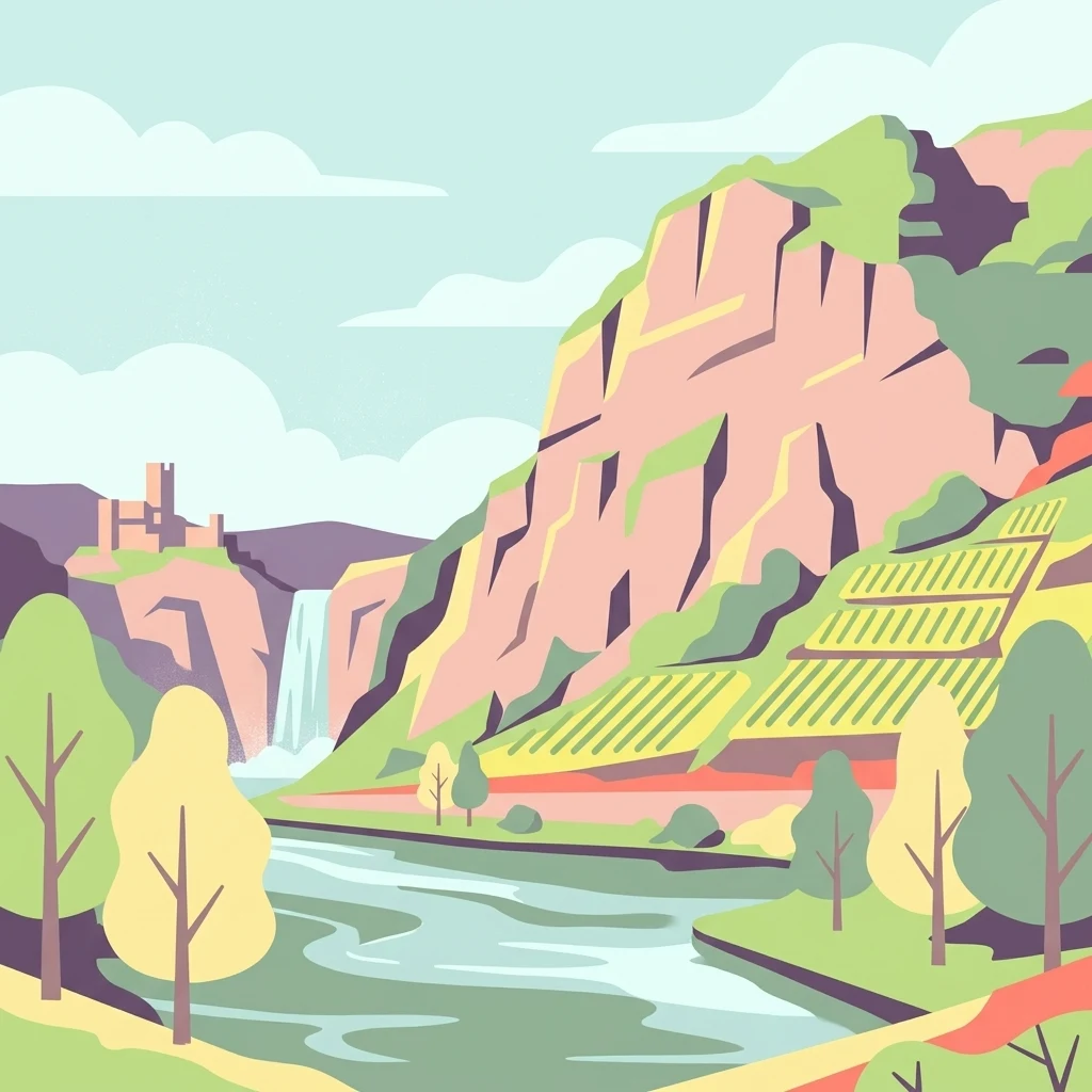
A flat-style digital illustration of a steep, light-colored rocky cliff face rising above a winding river. Terraced fields are carved into the landscape, with a small castle visible in the background and soft, stylized clouds overhead.

Brauselay

Nature reserve

Park overview

Structured park overview, official facts, and landscape profile for Brauselay

Brauselay park facts, protected area profile, and essential visitor context

Review the core facts for Brauselay, including designation, size, terrain, visitor scale, habitats, and operating context in one park-focused overview.

About Brauselay

The Brauselay combines a dramatic geological monument with an ecologically distinctive protected area along one of Germany's most famous river valleys. It is situated in the district of Cochem-Zell, within the municipality of Cochem, on the right bank of the Mosel opposite Kloster Ebernach. The centerpiece of the reserve is a steep quartzite cliff, formed from quartzitic sandstone beds that were folded upward during the Variscan orogeny roughly 300 million years ago, when originally horizontal marine sediments were compressed into steeply tilted rock folds. Over millions of years, the surrounding fold mountain was worn down, and the Mosel later cut its valley into the eroded mountain stump. The harder quartzite layers survived as the prominent cliff that defines Brauselay today, while softer slate layers remain comparatively inconspicuous.

Despite occupying only around 13 hectares, the area holds considerable ecological value. The slopes between roughly 30 and 40 degrees of inclination face south, shedding water quickly through the permeable quartzite substrate. They are also sheltered from rainfall by the rain shadow of the Eifel and Hunsrück uplands. Dark-colored slate components in the rock store solar heat during the day and release it at night, creating warm conditions for plant and animal communities that are otherwise rare this far north in central Europe. Low shrub communities of barberry, common boxwood, hawthorn, and wild pear coexist on the slopes with steppe heath vegetation and dry grassland, producing a botanical mix otherwise found in more southern climates. The site has been protected as a nature reserve since March 31, 1941, when the Bezirksregierung Koblenz issued its designation ordinance.

Management of the reserve remains distinctive. Goats are used to keep the slopes open as part of the conservation strategy, preventing scrub overgrowth and maintaining the dry grassland and steppe heath communities. Trails link the site to surrounding cultural and scenic attractions: from the Cochem district of Cond, a Stations of the Cross path leads up to a viewpoint above the reserve, while the Apollo Trail (Apolloweg Valwig) passes along the lower slopes and connects with the Moselsteig long-distance trail, which itself climbs more steeply through the nature reserve toward the village of Valwigerberg.

Quick facts and research context for Brauselay

Brauselay is a small protected nature reserve of about 13 hectares on the right bank of the Mosel river, located in the district of Cochem-Zell in Rhineland-Palatinate, Germany. Its core feature is a quartzite cliff that rises roughly 65 meters above the river, with a viewing platform reaching about 150 meters above sea level. The reserve was formally designated on March 31, 1941, and sits opposite Kloster Ebernach, spanning the slopes and adjoining forested upper slopes above the rock formation.

Protection and recognition

Documented conservation status, management scope, and verified registry records for Brauselay

Brauselay Protection Status and Official International Recognition Data

Examine the verified protection status, management scope, and official designation history recorded for Brauselay. Official records provide transparent access to conservation frameworks and global registry identifiers associated with the protected area.

Protection details

WDPA ID
81452
Park context

Deeper park guide and search-rich context for Brauselay

Brauselay history, landscape, wildlife, and travel context

Explore Brauselay through its history, landscape character, ecosystems, wildlife, conservation priorities, cultural context, and seasonal travel timing in a structured park guide built for atlas discovery and search intent.

Why Brauselay stands out

Brauselay is best known for its steep quartzite rock face above the Mosel and the unusually warm, dry microclimate created by south-facing, highly inclined sandstone slopes. This microclimate supports a Mediterranean-style flora, including boxwood, barberry, hawthorn, wild pear shrubs, steppe heath plants, and dry grassland communities, alongside thermophilic species such as the emerald lizard, the smooth snake, and the Apollo butterfly. The combination of geological drama, sun-heated slopes, and rare plant communities gives the site a character reminiscent of more southerly European landscapes, which is why it has been nicknamed the Loreley of the Mosel.
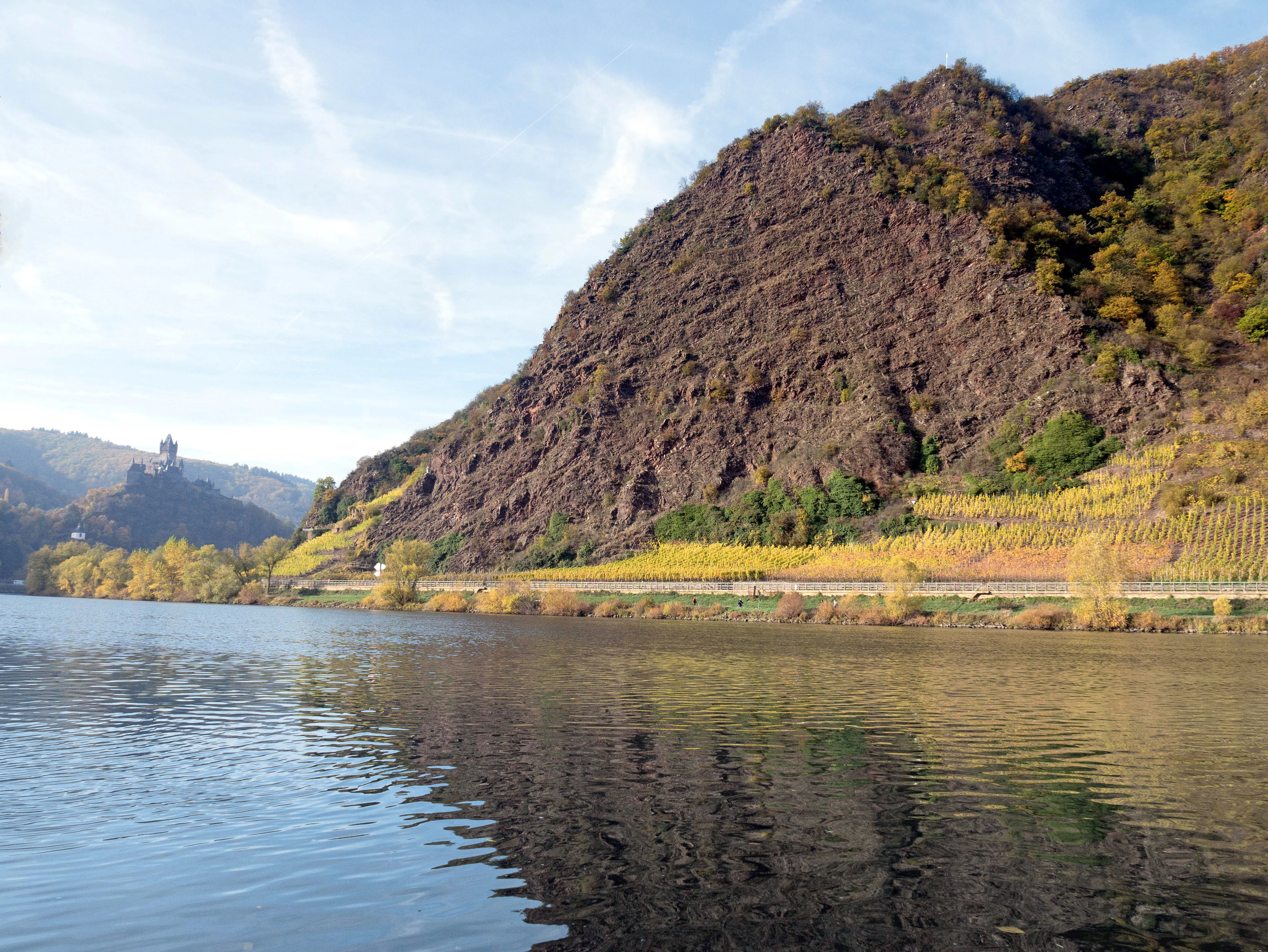
A steep, dark, rocky cliff face slopes down toward the Moselle River, which reflects the sky. Yellow-leaved vineyards line the base of the rock, and a castle is visible on a distant hillside.
The Brauselay rock formation rising above the Moselle River, with vineyards and Cochem Imperial Castle visible in the distance.

Brauselay history and protected-area timeline

The geological story of the Brauselay dates back roughly 300 million years to the Variscan orogeny, when horizontal sea-floor sediments were folded and uplifted into steeply tilted rock sequences. Over time, the surrounding mountain ranges eroded into a low-relief stump, and the Mosel subsequently incised its valley into this landscape, exposing the more resistant quartzite layers as the cliff that defines the site today.

The human history of the place is closely tied to the Cochem area and the riverside settlement of Cond. In 1934, workers from the Conder Weinkellerei Hieronimi erected a statue known as the White Madonna on a rocky ledge high above the Mosel. The Madonna, a grape-bearing Virgin Mary with child standing on a globe, serpent, and crescent moon, gave the cliff an additional layer of local religious and cultural identity.

Formal conservation came on March 31, 1941, when the Brauselay and its surrounding slopes were declared a nature reserve by the Bezirksregierung Koblenz. This early designation underlines the site's long-recognized ecological importance, particularly its unusual Mediterranean-style plant communities and the warm microclimate produced by its south-facing quartzite and slate slopes.

Brauselay landscape and geographic character

The defining landscape feature of the Brauselay is a steep quartzite cliff that rises about 65 meters directly above the Mosel river, with a viewing platform near its summit at roughly 150 meters above sea level. The cliff is built from hard quartzitic sandstone beds that have resisted erosion far better than the softer slate layers in the sequence. The result is a sharp, dramatic rock face with relatively gently sloping softer layers receding behind it.

Around and above the cliff, the reserve covers steep, south-facing slopes of between roughly 30 and 40 degrees of inclination. These slopes are highly permeable due to the quartzite substrate and shed water rapidly, producing a notably dry terrain. Dark slate outcrops among the rocks absorb solar heat through the day and radiate it back at night, reinforcing the warm microclimate of the slopes. The upper boundary of the reserve extends into forested slopes above the cliffs, integrating the bare rock and dry grassland below with woodland communities higher on the hillside.

The river is an integral part of the visual landscape. Mosel-facing views include the white monastery complex of Kloster Ebernach on the opposite bank, while the surrounding Mosel valley, with its vineyards and riverside settlements, frames the cliff as a landmark visible from both banks. From Cond above and from trails along the slope below, the cliff face and the river curve together form the site's principal scenic composition.

Brauselay ecosystems, habitats, and plant life

The nature reserve is small in area, but supports an unusually diverse and ecologically distinctive flora for its latitude. Its vegetation is essentially a relic Mediterranean-type community, made possible by the combination of dry summers in the rain shadow of the Eifel and Hunsrück, the south-facing orientation of the slopes, their high permeability, and the heat-storing properties of dark slate inclusions in the rock.

Low shrub communities dominate on the slopes, with barberry, common boxwood, hawthorn, and wild pear forming characteristic thickets. Among and between these shrubs grow steppe heath plants and dry grassland species typical of much warmer European regions, giving the Brauselay a botanical profile quite unlike the surrounding Mosel vineyards and forests. The thin, stony soils and intense exposure to the sun prevent denser forest from establishing on the cliff face itself, while the moister upper slopes above the cliff support mixed woodland communities that frame the open habitats below.

Goats are used as part of the reserve's management to graze the slopes and keep them open, maintaining the mosaic of low shrubs, dry grassland, and steppe heath that gives the site its ecological value.

Brauselay wildlife and species highlights

The warm microclimate of the Brauselay supports a number of thermophilic animal species that are rare or localized in Germany. Reptiles are particularly notable: the emerald lizard inhabits the rocky, sun-warmed slopes, while the smooth snake finds refuge among the stone outcrops and low shrub cover.

The site's most celebrated insect is the Apollo butterfly, a striking species associated with dry, rocky habitats and warm slopes. Its presence is so characteristic of the area that the trail passing the lower slopes of the reserve is named the Apolloweg, or Apollo Trail, in its honor.

The mosaic of open cliff, shrub thickets, dry grassland, and adjacent forest also supports a varied community of smaller fauna typical of warm valley slopes, including pollinators and ground-dwelling species adapted to dry, rocky conditions. Together, these animals reflect the same southern character that defines the Brauselay's plant life.

Brauselay conservation status and protection priorities

The Brauselay has been a formally protected nature reserve since March 31, 1941, when it was designated by the Bezirksregierung Koblenz. Its conservation purpose centers on preserving the unusual combination of quartzite cliff, south-facing dry slopes, and the Mediterranean-style flora and fauna that depend on them. By national standards, the site is unusually small, yet it carries disproportionate ecological significance because the habitats it protects are otherwise rare this far north in central Europe.

Active management is central to maintaining this value. Goats are used to graze the slopes, preventing succession toward denser scrub and forest that would gradually eliminate the open dry grassland, steppe heath, and low shrub communities. This traditional grazing-based approach keeps the structural diversity of the habitat and preserves conditions for species such as the emerald lizard, the smooth snake, and the Apollo butterfly.

The reserve also plays a role within the broader network of protected sites along the Mosel, sitting among other nature reserves of the Cochem-Zell district and connecting to long-distance trails such as the Moselsteig, which integrate the site into wider landscape-level conservation and public awareness efforts.

Brauselay cultural meaning and human context

The Brauselay's cultural identity is closely tied to both the riverside heritage of the Mosel and the religious traditions of the surrounding villages. The cliff has long been a landmark for boats passing along the Mosel and for the local community in Cond, and it is sometimes referred to poetically as the Loreley of the Mosel, drawing a comparison with the more famous Loreley rock further downstream on the Rhine.

The site's most distinctive cultural feature is the so-called White Madonna, a statue of the Virgin Mary with child installed in 1934 on a rocky ledge high above the river by workers of the Conder Weinkellerei Hieronimi. Known as a Traubenmadonna, or grape Madonna, the figure stands on an orb, a serpent, and a crescent moon, tying its imagery to the grape-growing culture of the Mosel valley. A restoration project later renewed the statue.

From Cond, a Stations of the Cross path leads visitors up toward a viewpoint above the reserve, embedding the site within the religious geography of the area as well as its natural one.

Top sights and standout views in Brauselay

The standout qualities of the Brauselay include its 65-meter quartzite cliff rising directly above the Mosel, its early-1941 protected status, and its unusually Mediterranean plant community for central Europe. The combination of south-facing slopes, permeable quartzite, heat-storing dark slate, and rain-shadow climate produces dry shrublands, steppe heath vegetation, and dry grassland habitats on a site of only about 13 hectares.

Equally notable are the site's wildlife markers: the emerald lizard, the smooth snake, and the Apollo butterfly, the last of which has given its name to the trail through the lower slopes. The White Madonna statue on the cliff ledge and the surrounding network of trails, including the Apolloweg and the Moselsteig, round out the site's mix of geological drama, ecological rarity, and cultural identity.

Best time to visit Brauselay

The Brauselay is at its most expressive in late spring and summer, when dry-slope vegetation is in bloom and thermophilic reptiles and butterflies, including the Apollo butterfly, are most active on the warm rocks. Warm, sunny weather enhances the sense of Mediterranean character for which the reserve is valued, and the viewpoint above the cliff is most rewarding in clear conditions when the Mosel valley below and the opposite bank, including Kloster Ebernach, are fully visible.

Shoulder seasons can also be attractive for visitors who prefer quieter conditions along the Apolloweg and Moselsteig trails, with the slopes still offering good views of the cliff and river. The dry, open character of the site means winter visits remain scenically interesting but expose visitors to cooler temperatures in the exposed rock face area.

Monthly climate preview

Representative annual temperature and precipitation patterns across twelve monthly periods

Brauselay Climate Normals and Long Term Weather by Month

Brauselay exhibits a measured annual temperature and precipitation rhythm derived from long term representative point data spanning from negative thermal values to warmer monthly maximums. Examining the complete twelve month profile provides deeper insight into shifting thermal averages and monthly precipitation distributions across the coordinate.
Annual mean9 °C
0 °C18 °C
Jan
Feb
Mar
Apr
May12°
Jun16°
Jul18°
Aug18°
Sep14°
Oct
Nov
Dec
Warmest month
July

18.2 °C

Coolest month
January

-0.3 °C

Wettest month
December

2.5 mm/day

Driest month
April

1.6 mm/day

Park location guide

Geography guide, regional context, and park location map for Brauselay

Brauselay park geography, regions, and map view in Germany

Understand where Brauselay sits in Germany through a broader geographic reading of the surrounding landscape, nearby location context, and its mapped position within the national park landscape.

How Brauselay fits into Germany

Germany is a federal republic in Western and Central Europe with a population of over 83 million across sixteen constituent states. It is Europe's largest economy by nominal GDP and a major global exporter and importer. The capital is Berlin, and the country borders Denmark, Poland, Czech Republic, Austria, Switzerland, France, Luxembourg, Belgium, and the Netherlands.

Wider geography shaping Brauselay in Germany

Germany is located in Western and Central Europe, spanning 357,022 km². It borders Denmark to the north, Poland and the Czech Republic to the east, Austria and Switzerland to the south, and France, Luxembourg, Belgium, and the Netherlands to the west. The country has coastlines on the Baltic Sea and North Sea to the north, with the Alps located in the southern region.

Map view of Brauselay

Use this park location map to pinpoint Brauselay in Germany, understand its exact geographic position, and read its mapped placement within the surrounding landscape more clearly.

Pigeon | © OpenStreetMap contributors

Location context for Brauselay

Rheinland-Pfalz

Visual exploration of quartzite cliffs, Mediterranean flora, and Mosel valley terrain

Brauselay Photos, Scenery, and Protected Landscape Imagery

Examine detailed Brauselay photos to understand the rugged quartzite cliffs, steep south-facing slopes, and Mediterranean plant communities rising above the Mosel river. Visual reference materials reveal the unique protected-area terrain, dry grassland habitats, and dramatic scenery defining this regional reserve.

A steep, dark, rocky cliff face slopes down toward the Moselle River, which reflects the sky. Yellow-leaved vineyards line the base of the rock, and a castle is visible on a distant hillside.

A white statue of a figure stands on a rocky outcrop above a steep slope overlooking a river valley.

Park atlas

Compare regional valley landscapes and connected nature reserves

Exploring Parks Near Brauselay and Surrounding Protected Natural Areas

Visitors analyzing Brauselay can compare other protected areas situated throughout the surrounding Mosel valley region. Broadening the geographic scope reveals diverse river valley terrain, steep rock formations, and neighboring conservation landscapes.
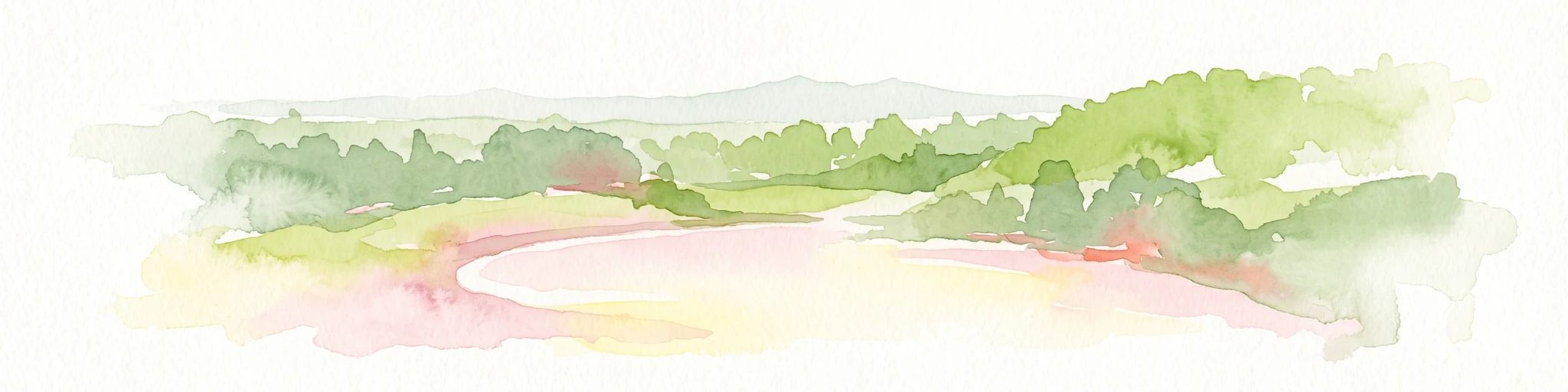
A horizontal watercolor painting depicting a soft green landscape with rolling hills and trees against a pale yellow and white sky.
Nature reserveRhineland-Palatinate
About 3.9 km away#1 closest

Northeast

Dortebachtal Nature Reserve: Mapping the Alpine Erosion Valley of the Mosel Region

A historic protected landscape in Rhineland-Palatinate.

Dortebachtal is a distinct, deeply incised nature reserve carved by a tributary of the Mosel. Its mapped terrain includes steep, dry western rock walls and a sheltered, forested eastern slope, creating a striking contrast in natural habitats. As a protected area since 1930, it remains a vital geographic marker and a significant segment of the regional hiking network through the Mosel valley.

Established
1930
Relief
Upland
Scope
Terrestrial
Water
Minor water
Protected areaRheinland-Pfalz
About 16 km away#2 closest

Northwest

Ulmener Maar Protected Area: Mapping Crater Lakes and Eifel Volcanic History

Volcanic maar, medieval ruins, and meromictic lake geography

Ulmener Maar provides a rare glimpse into the volcanic evolution of the Eifel region. This protected area centers on a deep, meromictic crater lake cradled by a forested tuff ring, connected via historical tunnels to the older Jungferweiher maar. It serves as a vital point for understanding the interplay between geological youth and centuries of human settlement in Germany.

Nature reserveRhineland-Palatinate
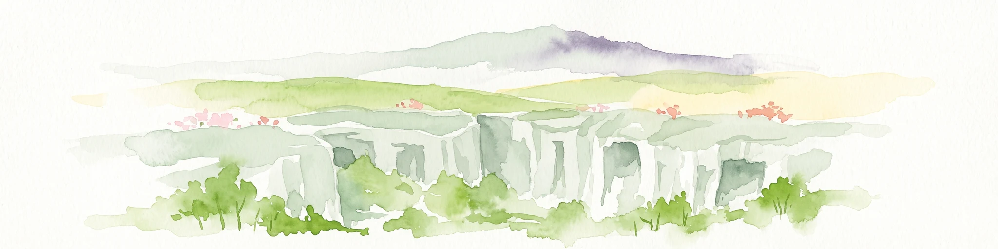
About 18 km away#3 closest

Northeast

Nettetal Nature Reserve: Geography and Protected Boundaries in Rhineland-Palatinate

Steep-sided valley landscapes and biodiversity corridors.

Nettetal Nature Reserve offers a deep look into the geomorphology of a classic Kerbtal in Rhineland-Palatinate. This protected area along the Nette tributary showcases a rare density of contrasting terrains, from sun-exposed rock formations to damp valley floors, providing a clear window into regional conservation mapping.

Area
7.05 km²
Established
1986
Scope
Terrestrial
Water
Major water bodies
A watercolor painting showing a rocky, layered cliff face in the center, surrounded by green foliage, with rolling hills and a mountain range in the background against a white backdrop.
Protected areaRheinland-Pfalz
About 22 km away#4 closest

North

Mayener Grubenfeld: Protected Industrial Landscapes and Volcanic Terrain in Germany

A historic basalt mining district and vital bat hibernation hub

The Mayener Grubenfeld preserves deep traces of volcanic activity and industrial evolution, marked by porous basalt sheets and centuries of extraction. Today, the terrain consists of abandoned quarry pits, gallery systems, and dry grassland habitats that form a protected area of significant geological and ecological value within Rheinland-Pfalz.

Area
1.5 km²
Relief
Upland
Climate
Temperate
Access
Easy access
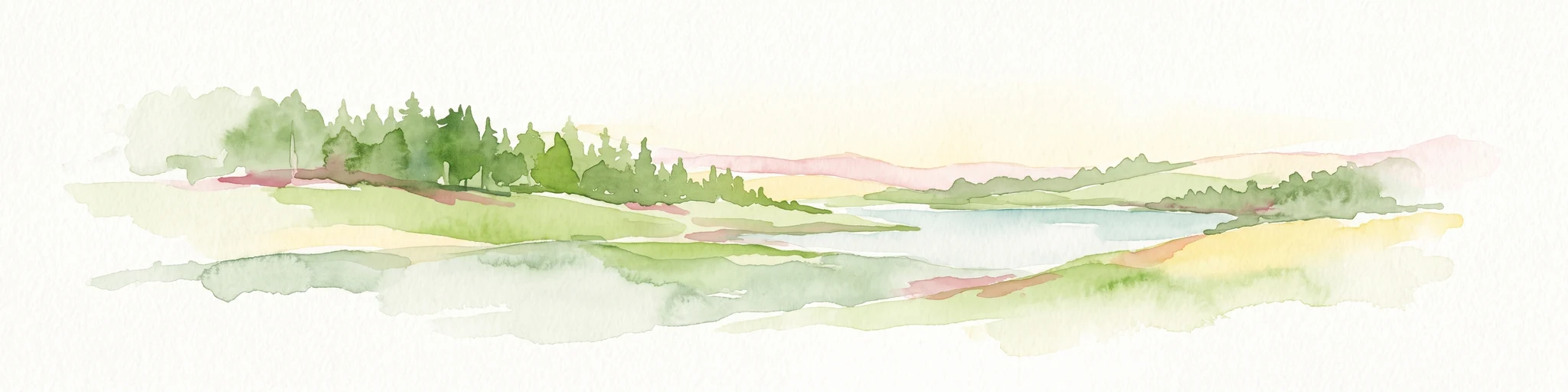
A soft, painterly watercolor illustration depicting a calm lake framed by evergreen trees and rolling green hills.
Nature reserveRhineland-Palatinate
About 22 km away#5 closest

West

Holzmaar Nature Reserve: Volcanic Crater Geography and Sediment Archive in Germany

A forest-enclosed maar lake in the Vulkaneifel region.

Holzmaar represents a significant volcanic maar site within Rhineland-Palatinate, defined by its circular basin, wetland-rich margins, and stream-fed hydrology. Recognized as a critical reference for paleoclimate research, its laminated sediment layers provide a detailed look at late-glacial European environmental history.

Area
0.068 km²
Relief
Upland
Climate
Temperate
Scope
Terrestrial
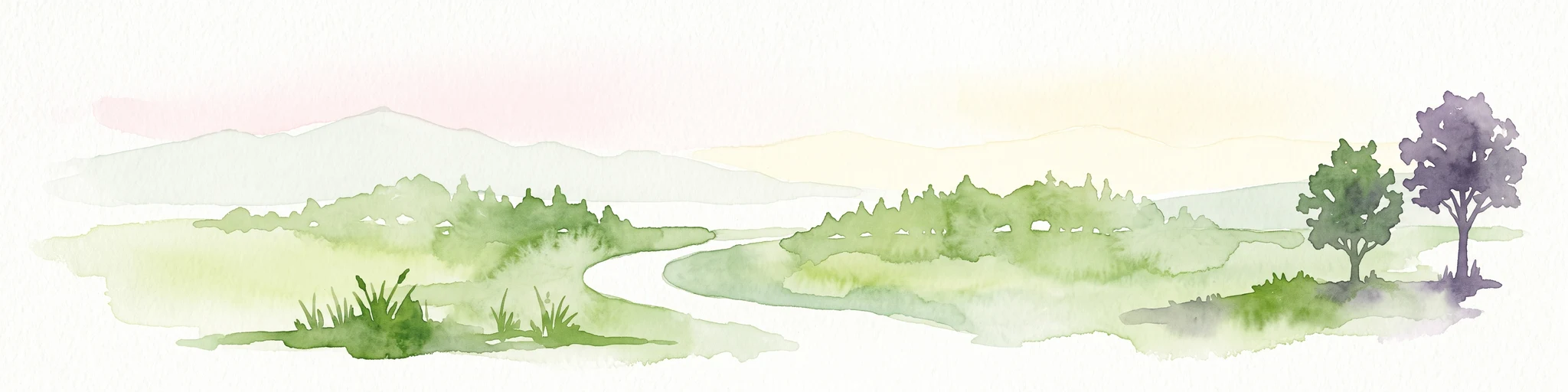
A horizontal watercolor painting showing a soft, stylized landscape with rolling green hills, a winding path or stream, and a few trees on a white background.
Nature reserveRhineland-Palatinate
About 22 km away#6 closest

West

Dürres Maar Nature Reserve: Mapped Volcanic Landscapes and Peatland Geography

A dry volcanic crater and transition bog in the Eifel.

Dürres Maar represents a quintessential dry maar landform defined by a circular tuff rim and a matured peat basin. Situated near Gillenfeld, the site acts as a geological monument and ecological record of long-term mire succession. Explore the map-based terrain and crater boundaries to understand how this volcanic remnant functions within the Vulkaneifel.

Relief
Upland
Climate
Temperate
Water
Major water bodies
Nature reserveRhineland-Palatinate
About 22 km away#7 closest

Northeast

Ausoniusstein Nature Reserve: Protected Landscape and Geographic Identity in Germany

A geological and ecological refuge in the Rhineland-Palatinate countryside.

Ausoniusstein is a protected nature reserve in western Germany recognized for its unique geological and morphological character. Spanning 31 hectares, the site features rocky slopes and varied volcanic substrates that support uncommon plant life and the rare Apollo butterfly. The terrain represents the transitional landscape between the Moselle river corridor and the Eifel foothills.

Area
0.31 km²
Established
1984
Relief
Upland
Water
Minor water
A horizontal watercolor painting showing a soft, stylized landscape of green rolling hills and volcanic peaks behind a line of pine trees and a calm body of water in the foreground.
Nature reserveRheinland-Pfalz
About 24 km away#8 closest

North

Hochsimmer Nature Reserve: Volcanic Topography and Forested Highlands of the Eastern Eifel

A study of basaltic twin cones and protected regional wilderness

Hochsimmer is a well-defined volcanic cinder cone near the Mayen-Koblenz district, characterized by its twin-peak profile and expansive woodland canopy. This protected nature reserve anchors the local topography where the volcanic Eifel meets the Middle Rhine basin, offering an essential reference for understanding the geological and ecological structure of the Rhineland-Palatinate high country.

Area
2.491 km²
Established
1973
Relief
Mountain
Climate
Temperate

Common questions about visiting, size, designation, and location context for Brauselay

Brauselay FAQs for park facts, access, geography, and protected area context

Find quick answers about Brauselay, including protected-area facts, park geography, trail and visitor context, and how the park fits into its surrounding country and regional landscape.
MoriAtlas Explorer

Continue Your Protected Areas Search Across the Global Atlas

Deepen your exploration by continuing the structured search for national parks and protected areas worldwide. Utilize the comprehensive filtering capabilities to compare different conservation landscapes and refine your understanding of global park geography. Discover more about the distribution and characteristics of protected natural areas.

Global natural geography