A protected floodplain refuge of meadows, streams, and wet woodland along the Upper Rhine in Rhineland-Palatinate.
Bruchbach-Otterbachniederung
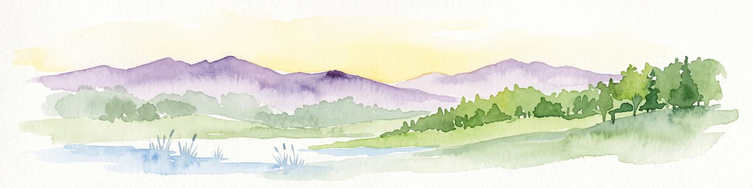
Bruchbach-Otterbachniederung is a large nature reserve (Naturschutzgebiet) in the German state of Rhineland-Palatinate, spanning parts of the districts of Germersheim and Südliche Weinstraße along the Upper Rhine plain. The protected area covers the lowland valleys of the Bruchbach and Otterbach streams and is the largest nature reserve in each of the two districts it crosses. With its mosaic of streams, ditches, ponds, reed beds, wet meadows, tall herb communities, sedge stands, and near-natural woodlands, it represents one of the most significant floodplain remnants in this part of the Rhine valley.
The reserve sits at the edge of the Bienwald, a large forest area near the French border, and stretches in three sections from Rheinzabern in the northeast to the French town of Wissembourg in the southwest. The Otterbach between Jockgrim and Kandel is recognized as an especially valuable near-natural flowing water system of regional importance. Together with its surrounding wet habitats, the reserve forms a key refuge for native flora and fauna in the Upper Rhine region and a notable example of preserved Auenlandschaft, or floodplain landscape.
Established in August 1988, Bruchbach-Otterbachniederung is classified as an IUCN Category V Protected Landscape/Seascape and carries the official designation NSG-7300-103. It is registered in the World Database on Protected Areas and serves both as a habitat for threatened species and as a reference area of scientific value for wetland and floodplain ecology in southwestern Germany.