
A comprehensive index of mountain summits, limestone plateaus, and deep river gorges
Named Natural Features and Geographic Landmarks within Cévennes National Park in France
This collection provides a structured look at the distinct natural features associated with Cévennes National Park. From the granite heights of Mont Lozère and Mont Aigoual to the incised river gorges of the Tarn and Jonte, each entry maps the diverse geological entities that define this mid-mountain landscape. Discover the wide variety of landforms and hydrological systems that characterize the protected valleys and plateaus of this unique Mediterranean region.
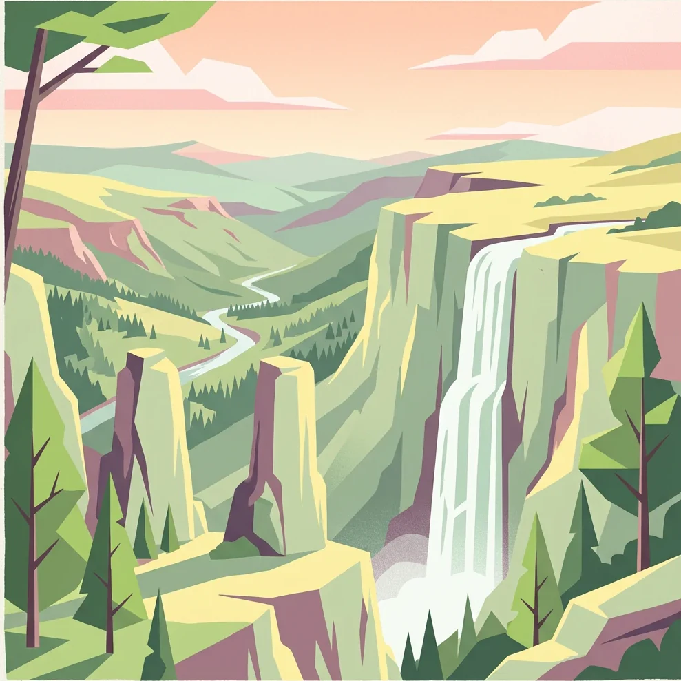
Tracing the mid-mountain peaks, limestone gorges, and schist valleys across the protected landscape
Mapped Natural Features and Geological Landmarks of Cévennes National Park
Mapping drainage networks in a mid-mountain landscape
Rivers
A curated overview of rivers and associated watercourse features that define the topography of Cévennes National Park. This focus provides geographic insight into the interplay between channel formation and the park's distinct granite, schist, and limestone geological zones.
Natural watercourse mapping in protected mountain terrain
Streams
Cévennes National Park contains varied stream environments ranging from steep schist-carved gullies to plateau-based watercourses. This collection catalogs named stream entities, offering a structured perspective on the park drainage systems, topographical influence, and hydrological connectivity within the broader Mediterranean mountain ecosystem.
Physical landform atlas for French mid-mountain terrain
Mountain saddles
The high relief of Cévennes National Park creates diverse ridge systems across granite, schist, and limestone geology. This atlas documents the specific saddles that provide seat-like profiles between neighboring summits, offering a technical view of the park's structural mountain geography and drainage divide characteristics.
Geographic analysis of summits and ridge formations
Peaks
An atlas-focused collection documenting the named peaks of Cévennes National Park. Each record details the summit location, topographic character, and positioning within the broader massifs, including Mont Lozère and Mont Aigoual, offering a precise look at the region's diverse mountainous terrain.
Continue Exploring the Geographic Atlas of Cévennes National Park
Delve deeper into the structured geographic information for Cévennes National Park. Understand its specific location within Occitanie, its mapped terrain, and the protected landscape context that defines this unique area. Our platform provides detailed insights to support your exploration of national parks and their surrounding regional geography.