
Mori Atlas logo
Protected areaCoromandel Forest Park

Exploring the native forest terrain, river valleys, and expansive ridges of this major protected area.

Coromandel Forest Park: A Defined Conservation Landscape in New Zealand's Waikato Region

Coromandel Forest Park represents one of the most substantial protected natural landscapes on New Zealand's North Island. Sweeping across the rugged interior of the Coromandel Peninsula, the park is defined by its continuous native bush, deep river-cut valleys, and vital ecological habitats. Map data reveals a complex mosaic of ridgelines and forest blocks that serve as a green anchor for the surrounding Waikato Region.

protected forestnative bushconservation parkCoromandel PeninsulaWaikato Regionhills and valleys
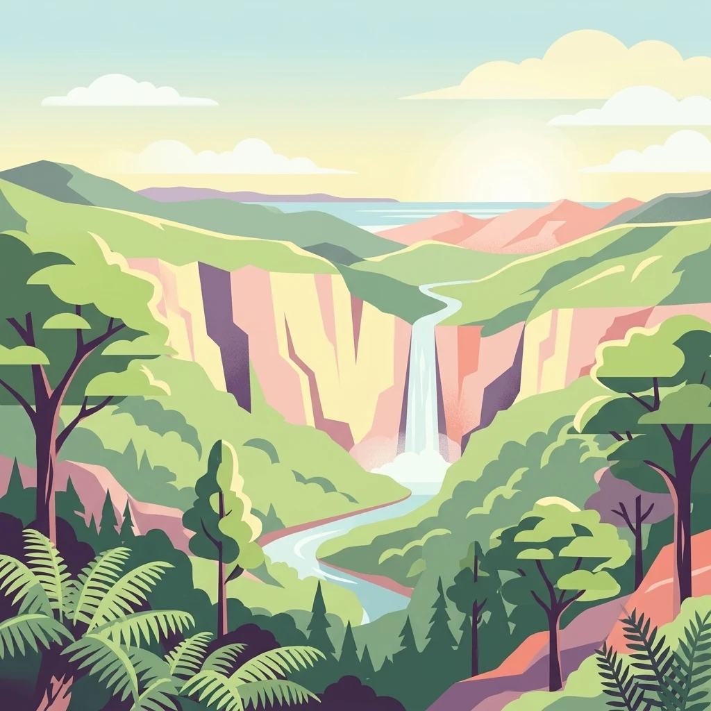
An illustration of a waterfall falling over a cliff face into a river winding through a valley filled with dense green trees and ferns under a sunrise sky.

Coromandel Forest Park

Protected area

Park overview

Structured park overview, official facts, and landscape profile for Coromandel Forest Park

Coromandel Forest Park park facts, protected area profile, and essential visitor context

Review the core facts for Coromandel Forest Park, including designation, size, terrain, visitor scale, habitats, and operating context in one park-focused overview.

About Coromandel Forest Park

Coromandel Forest Park is a large conservation park in the northern part of New Zealand's North Island, protecting a wide expanse of the Coromandel Peninsula's forested interior. It stretches across the peninsula from near the western shoreline of the Firth of Thames through to the rolling forested hills behind the eastern holiday towns, creating a continuous green corridor that ties the region together ecologically and visually.

The park's terrain is defined by hills and valleys blanketed in dense native bush. Rather than the dramatic alpine or volcanic scenery found elsewhere in New Zealand, Coromandel Forest Park offers a more rolling, deeply forested character, where short ridgelines, sheltered gullies, and quiet river valleys dominate the experience. The Kauaeranga Valley, one of the park's most visited areas, also features several natural swimming holes, giving the park a recreational dimension alongside its ecological role.

As a conservation park administered by the Department of Conservation, Coromandel Forest Park sits within New Zealand's broader protected-area network as a place where ecological restoration, public recreation, and conservation management overlap. The park borders popular coastal settlements including Whanganuimata, and it functions both as a natural backdrop for the peninsula's tourism towns and as a working conservation landscape, with active pest control and ongoing debate over threats such as invasive species and proposed gold mining.

Its inner forests, especially the southern Wharekirauponga block, are valued for their high ecological importance, including habitat for the endangered Archey's frog. This combination of scale, accessibility, ecological richness, and ongoing environmental debate gives the park a distinctive profile within New Zealand's protected-area system.

Quick facts and research context for Coromandel Forest Park

Coromandel Forest Park lies in the Thames Coromandel District of the Waikato Region on New Zealand's North Island, occupying a large share of the Coromandel Peninsula. It covers around 71,899 hectares of forested hill country, centred between the peninsula's eastern and western coasts and not far from the holiday town of Whanganuimata.

The park was formally established in 1971, growing out of earlier settlement land that had been abandoned and reclaimed by bush. It is managed by the Department of Conservation as a conservation park, a category that combines ecological protection with public recreation.

The park's defining environmental features include continuous native forest cover, valleys with swimming holes, and biologically rich habitats in the south that support threatened species such as Archey's frog. Its history also intersects with gold prospecting and modern conservation debates over mining access.

Protection and recognition

Documented terrestrial protection scope and conservation designation records

Coromandel Forest Park Protection Status and International Recognition Data

Coromandel Forest Park maintains a documented terrestrial protection scope without imported international recognition sources or transboundary status. Structured conservation records outline the official protected area classification and management framework for the landscape.

Protection details

Protection scope
Terrestrial
Transboundary protection
No
Park context

Deeper park guide and search-rich context for Coromandel Forest Park

Coromandel Forest Park history, landscape, wildlife, and travel context

Explore Coromandel Forest Park through its history, landscape character, ecosystems, wildlife, conservation priorities, cultural context, and seasonal travel timing in a structured park guide built for atlas discovery and search intent.

Why Coromandel Forest Park stands out

Coromandel Forest Park is best known for its extensive tracts of native bush sweeping across the hills and valleys of the Coromandel Peninsula. Much of the park's identity comes from its continuous cover of regenerating New Zealand forest, which has reclaimed old farm clearings and now forms one of the most prominent forested landscapes on the peninsula. The park is also recognised for the ecological value of specific areas such as Wharekirauponga Forest in the south, a region identified as containing priority ecosystems, threatened species, and the headwaters of a major catchment. Together, the park's sheer scale, its dense native forest character, and its ecological significance for rare species like Archey's frog make it a defining conservation landscape of the Waikato Region.
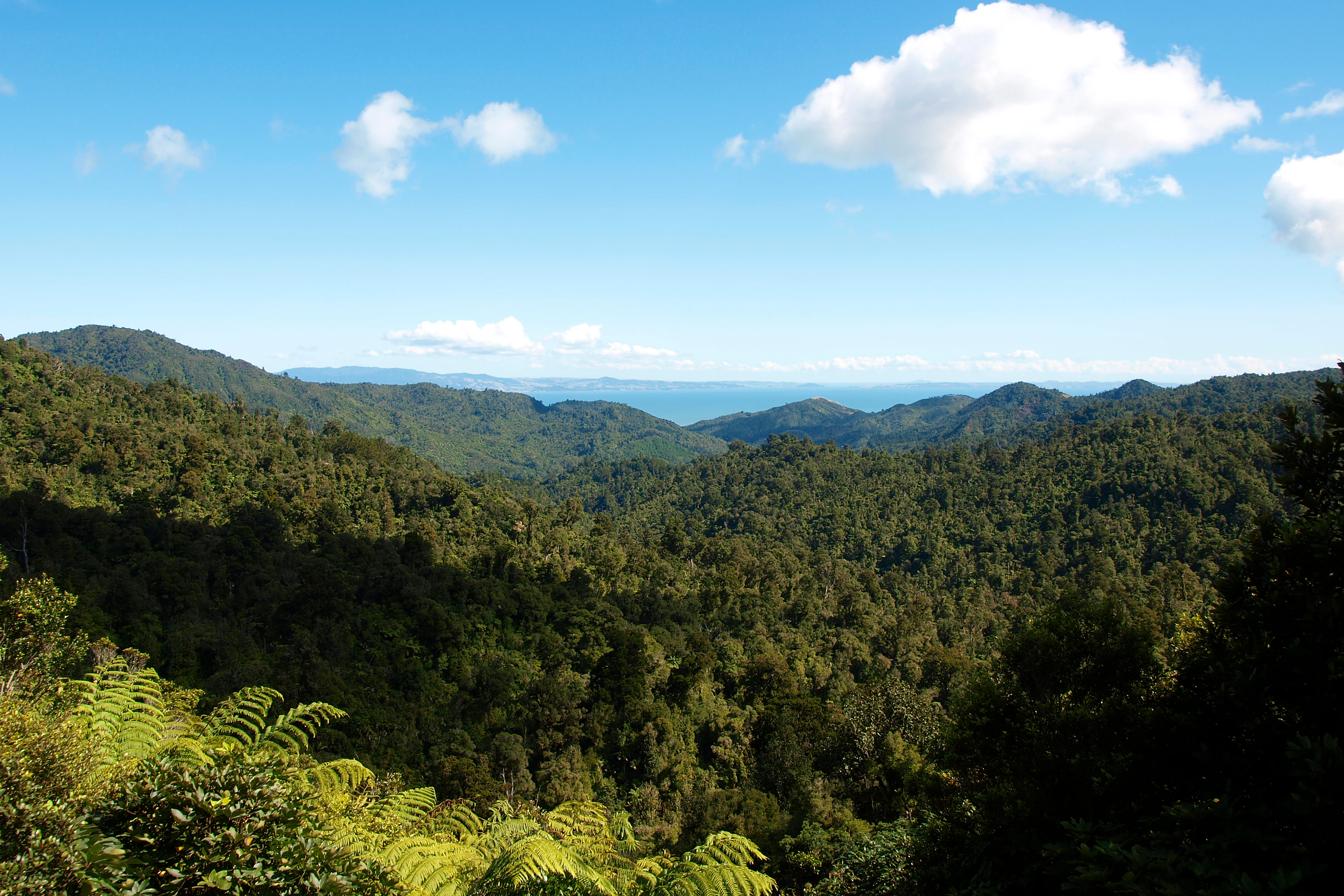
A landscape photograph showing lush, hilly green forest stretching toward a distant blue coastline and a bright blue sky with scattered clouds.
A wide view across the dense, forested hills of Coromandel Forest Park, looking toward the Firth of Thames.

Coromandel Forest Park history and protected-area timeline

The history of Coromandel Forest Park begins long before its formal protection. Prior to becoming a park, parts of what is now the reserve were known as the Crosbies Settlement, an isolated cluster of five farming lots worked by European settlers Thomas and Agnes Crosbie. The settlement was remote, accessible only by foot, horseback, or horse-drawn vehicle, and life there was difficult. The Crosbies sold the lots to another family in 1917, who abandoned the land by 1926, and subsequent attempts at farming also failed. By the 1960s, native bush had reclaimed the cleared land.

In 1970 and 1971, the Crosbies Settlement lots were incorporated into the newly established Coromandel Forest Park, marking the beginning of formal conservation management. A surviving woolshed from the early settlement era served as a trampers' hut until it was destroyed by wind in the late 1980s. The park's modern development continued with the Department of Conservation constructing new huts in 2010 to support recreational use.

More recent history has centred on environmental challenges and policy debate. In 2019, a canyoner had to be airlifted out following a fall in the park, highlighting the rugged nature of the terrain. In January 2021, the Department of Conservation raised concerns about the scale of illegal rubbish dumping, including in park waterways. That same year, drone photography in 2021 revealed that introduced possums were causing canopy collapse in parts of the park's Papakai block, while active pest control elsewhere was protecting native rat trees. Mining has also been a recurring issue, with exploration in the Wharekirauponga area and eventual permit applications raising sustained opposition from conservation groups and former MPs advocating for the park's protection.

Coromandel Forest Park landscape and geographic character

The landscape of Coromandel Forest Park is characterised by an expansive system of forested hills and valleys that cover much of the Coromandel Peninsula's interior. The terrain is rolling rather than sharply alpine, with ridgelines, deep gullies, and river-formed valleys shaping the topography under a continuous cover of native bush.

One of the park's signature landscape areas is the Kauaeranga Valley, a sheltered valley that combines forested slopes with natural swimming holes, making it one of the most accessible and visited parts of the park. The southern reaches of the park, including the Wharekirauponga Forest block, are particularly rugged and ecologically significant, with forested hills feeding the headwaters of an important catchment.

West of the ranges, the park's high ground looks out toward the Firth of Thames, offering broad views across the water toward the Hauraki Gulf. To the east, the forested slopes descend toward the peninsula's coastal towns, including Whanganuimata, creating a sharp visual contrast between dense green interior and bright coastal edge. The combination of continuous forest cover, valley systems, and proximity to both coastlines gives Coromandel Forest Park a varied yet unified landscape identity.

Coromandel Forest Park ecosystems, habitats, and plant life

The natural character of Coromandel Forest Park is dominated by extensive stands of native New Zealand forest. Across the park's hills and valleys, regenerating native bush has reclaimed former farmland, creating a mosaic of mature and recovering forest that supports a wide range of native flora.

The park protects ecologically significant vegetation communities across multiple areas, with the southern Wharekirauponga Forest recognised as a particularly important block. This region contains priority ecosystems, native vegetation communities of high biodiversity value, and habitat for rare native fauna. Pest control work in parts of the park has confirmed the value of these forests, particularly where native rat trees are thriving under active management.

The forest ecosystems of the park also form the upper catchment of a major river system, giving the park an outsized influence on downstream water quality and freshwater habitats. This combination of regenerating native forest, priority ecosystem status in key areas, and critical catchment function gives Coromandel Forest Park a strong ecological identity rooted in native vegetation patterns rather than dramatic single-species features.

Coromandel Forest Park wildlife and species highlights

The wildlife values of Coromandel Forest Park are closely tied to its native forest ecosystems, particularly in the southern Wharekirauponga area, which has been highlighted as habitat for threatened species. Among the park's most notable resident species is Archey's frog, an endangered New Zealand endemic frog found in the forested catchments protected within the park. Conservation advocates have argued that maintaining intact forest in this region is essential for the survival of the species.

The park's continuous native bush also provides habitat for a wide range of native forest birds and invertebrates typical of New Zealand's temperate forests, although specific species are not individually highlighted in the principal sources. Introduced pests, particularly brushtail possums, have been a major wildlife issue. Drone photography in 2021 showed that possums were causing top-down canopy collapse in the Papakai block of the forest, demonstrating the scale of threat introduced mammals pose to native vegetation structure and the habitats that depend on it.

Active pest control across other parts of the park is helping protect ecologically important tree species such as native rat trees, indicating that, where management is sustained, native wildlife and forest health can recover. The interplay between habitat protection, pest pressure, and conservation management is one of the defining wildlife themes of Coromandel Forest Park.

Coromandel Forest Park conservation status and protection priorities

Coromandel Forest Park plays a substantial role in New Zealand's conservation landscape because of its scale, ecological value, and position on a peninsula under heavy human pressure. Covering around 71,899 hectares of forested terrain, the park provides one of the largest continuous areas of protected native bush on the Coromandel Peninsula, anchoring regional biodiversity alongside the surrounding coastal and settlement lands.

From a conservation perspective, the park's southern Wharekirauponga Forest is particularly significant. This block contains priority ecosystems, threatened species habitat, and the headwaters of a major catchment, leading conservation groups such as Coromandel Watchdog to argue strongly against mining proposals that could affect the area's ecological integrity. The park's importance for endangered species such as Archey's frog has reinforced calls for the area to be fully protected from extractive activity.

Active conservation management is visible across the park. The Department of Conservation runs pest control programmes targeting introduced mammals, especially possums, which have been shown to be driving canopy collapse in some blocks. Restoration of native vegetation, including the protection of native rat trees where pest control is sustained, demonstrates the park's role as a working conservation landscape rather than simply a passive reserve. The park's conservation profile is also shaped by emerging threats such as illegal rubbish dumping in waterways, which authorities have flagged as a serious concern requiring ongoing attention.

Coromandel Forest Park cultural meaning and human context

Coromandel Forest Park has a layered human history that blends early European settlement with later conservation effort. Before becoming a protected area, parts of the park were home to isolated farming settlements, most notably the Crosbies Settlement, where European settlers attempted to establish a livelihood in extremely remote terrain accessible only by foot, horseback, or horse-drawn vehicle. These early farming attempts repeatedly failed, and the land eventually returned to bush.

In its modern era, the park is woven into the identity of the Coromandel Peninsula as a place where nature-based recreation, local tourism, and community-led conservation overlap. Regional advocacy groups have rallied around the park, and public figures, including former MP Catherine Delahunty, have been involved in protests against mining in the Wharekirauponga area. This combination of early settler memory, ongoing community activism, and modern conservation debate gives the park a recognisable cultural footprint within the Waikato Region.

Top sights and standout views in Coromandel Forest Park

Among the park's strongest points of interest is the Kauaeranga Valley, which combines dense native forest with accessible natural swimming holes and serves as one of the most visited parts of the reserve. The park's continuous forested hills also form an extraordinary backdrop to the peninsula's coastal towns, including Whanganuimata, linking sea-level holiday experiences with a vast green interior.

Equally important is the southern Wharekirauponga Forest, recognised for its high ecological value, priority ecosystems, and habitat for endangered species such as Archey's frog. The park's active conservation work, including possum control and protection of native rat trees, gives it a strong identity as a place where ecological restoration is genuinely happening rather than simply maintained. Its scale, ecological richness, and ongoing role in debates about how protected areas should be managed make Coromandel Forest Park a defining landscape of the Coromandel Peninsula.

Best time to visit Coromandel Forest Park

The Coromandel Peninsula has a mild, maritime climate, allowing Coromandel Forest Park to be visited across much of the year. Summer months, from December through February, typically bring warmer temperatures and drier conditions, making the park's swimming holes in Kauaeranga Valley especially appealing and supporting longer days for tramping and valley exploration.

Autumn and spring tend to offer cooler, quieter conditions with lush forest growth and fewer visitors, while winter can bring wetter, cooler weather that increases stream flows and makes valley trails more slippery. Because much of the park's appeal lies in dense native forest, swimming holes, and short tramps rather than snow-dependent scenery, the park can deliver meaningful experiences across most seasons, with visitor choices depending more on desired activity and weather tolerance than on narrow seasonal windows.


Monthly climate preview

Long-term representative averages tracking monthly temperature and precipitation variation

Coromandel Forest Park Climate Normals and Annual Temperature Rhythm

Coromandel Forest Park exhibits a measured annual temperature and precipitation rhythm recorded across twelve distinct monthly intervals. Reviewing the complete meteorological profile provides deeper baseline insight into historical regional averages.
Annual mean15 °C
11 °C20 °C
Jan19°
Feb20°
Mar19°
Apr17°
May14°
Jun12°
Jul11°
Aug12°
Sep13°
Oct14°
Nov16°
Dec18°
Warmest month
February

19.9 °C

Coolest month
July

11.4 °C

Wettest month
July

3.8 mm/day

Driest month
January

2 mm/day

Park location guide

Geography guide, regional context, and park location map for Coromandel Forest Park

Coromandel Forest Park park geography, regions, and map view in New Zealand

Understand where Coromandel Forest Park sits in New Zealand through a broader geographic reading of the surrounding landscape, nearby location context, and its mapped position within the national park landscape.

How Coromandel Forest Park fits into New Zealand

New Zealand is an island nation in the southwestern Pacific Ocean comprising two main islands and numerous smaller islands. Located east of Australia across the Tasman Sea, it features varied topography with the Southern Alps running along the South Island and volcanic terrain on the North Island. The country was settled by Maori people between 1280 and 1350, followed by European exploration beginning in 1642, and became a Dominion in 1907 before gaining full independence in 1947.

Wider geography shaping Coromandel Forest Park in New Zealand

New Zealand lies in the southwestern Pacific Ocean, east of Australia across the Tasman Sea. The country consists of two main islands, the North Island and South Island, plus over 600 smaller islands. The North Island features volcanic plateaus and hills while the South Island is dominated by the Southern Alps mountain range. The country has a long coastline and is surrounded by the Pacific Ocean.

Map view of Coromandel Forest Park

Use this park location map to pinpoint Coromandel Forest Park in New Zealand, understand its exact geographic position, and read its mapped placement within the surrounding landscape more clearly.

Pigeon | © OpenStreetMap contributors

Location context for Coromandel Forest Park

Waikato Region

Explore the native bush, rugged hills, and protected valleys of New Zealand through detailed terrain photography.

Coromandel Forest Park Photos and Landscape Scenery Visual Guide

Visual documentation captures the expansive native forest cover and river-formed valleys defining the interior of Coromandel Forest Park. Studying these protected-area photographs reveals the complex topography and dense ecological character shaping the regional landscape.

A landscape photograph showing lush, hilly green forest stretching toward a distant blue coastline and a bright blue sky with scattered clouds.

Park atlas

Compare regional conservation areas, forested valleys, and nearby protected habitats

Explore Other Parks Near Coromandel Forest Park and Surrounding Protected Landscapes

Browse protected areas near Coromandel Forest Park to evaluate adjacent conservation landscapes, forested ridgelines, and regional river valleys. Comparing connected natural habitats provides deeper geographic context across the surrounding Waikato region.
Regional parkWaikato Region
About 33 km away#1 closest

West

Waharau Regional Park: Protected Coastal Forest and Hunua Ranges Gateway

Geographic landscape transition in the Waikato region

This protected area offers a deep look into the transition from native forest hill country to estuarine environments along the Firth of Thames. Spanning 170 hectares, it serves as a functional geographic corridor between the Hunua Ranges and the Hauraki Gulf, showcasing layered history and varied topography within the Waikato region.

Area
1.7 km²
Established
1979
Relief
Upland
Climate
Temperate
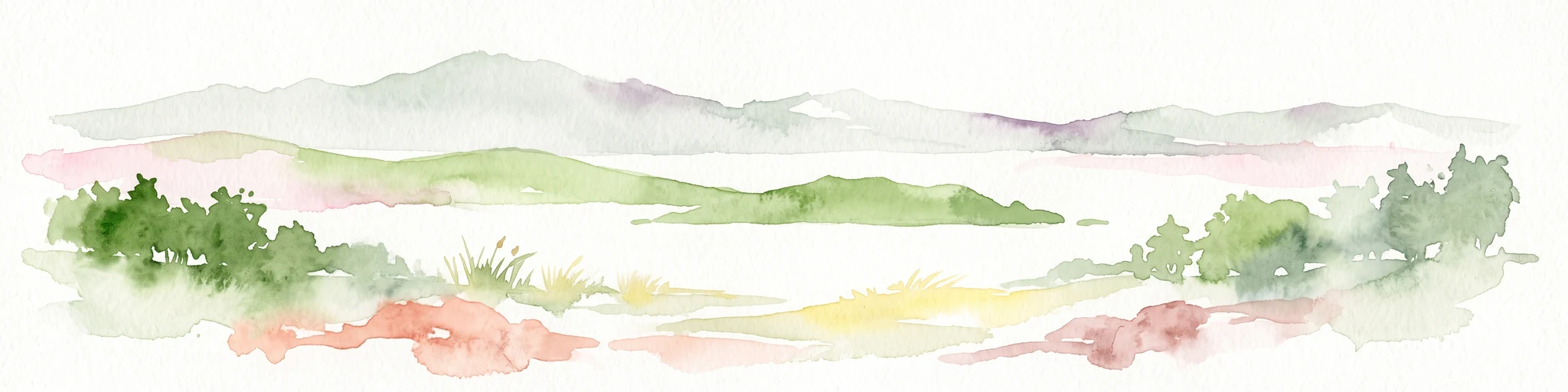
A wide watercolor painting showing a calm body of water surrounded by soft, pastel-colored hills in shades of green, pink, and yellow.
Nature reserveNew Zealand
About 38 km away#2 closest

East

Aldermen Islands Nature Reserve: Mapped Volcanic Geography and Coastal Forest Landscapes

Protected offshore wilderness in the Coromandel region

Discover the geographic structure of the Aldermen Islands, a cluster of rocky islets serving as an undisturbed nature reserve. These eroded lava domes and forested slopes represent a specialized ecosystem, offering a unique look at New Zealand coastal geography and volcanic remnant patterns situated in the waters off the Coromandel Peninsula.

Area
1.3 km²
Relief
Upland
Access
Highly restricted
Scope
Mixed
Regional parkAuckland Region
About 47 km away#3 closest

West

Waitawa Regional Park: Coastal Geography and Recreation Landscapes in Auckland

Mapped terrain along the Tāmaki Strait shoreline

Waitawa Regional Park serves as a notable example of repurposed land within the Auckland Region, featuring an open coastal landscape on the Tāmaki Strait. This protected space, formerly an industrial explosives site, now offers a unique geography of grassy tracks, beach access, and historical remnants. Its layout provides a specialized atlas view of coastal development and public land use for outdoor activity.

Area
1.88 km²
Established
2013
Relief
Upland
Climate
Temperate
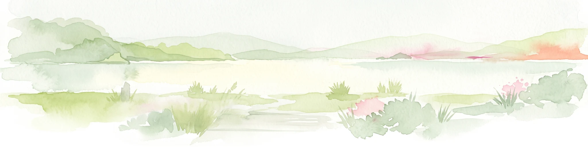
A soft, watercolor painting of a coastal landscape featuring green rolling hills, distant pale mountains, and patches of vegetation against a white background.
Nature reserveAuckland Region
About 47 km away#4 closest

Northwest

Rotoroa Island Nature Reserve: Mapping the Geography of this Hauraki Gulf Sanctuary

A vital protected island terrain for native species and reforestation

Rotoroa Island serves as a managed conservation landscape within the Hauraki Gulf, defined by its role as a pest-free sanctuary for threatened bird populations and intensive native forest restoration. The island offers a distinct geography that combines maritime coastal terrain with a rich history of social welfare, preserved through intentional land management and active environmental rehabilitation efforts near the Auckland coast.

Area
0.82 km²
Established
2011
Relief
Lowland
Scope
Terrestrial
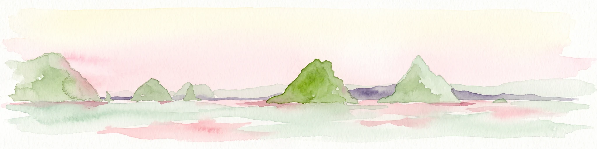
A soft watercolor illustration of green island peaks rising from a calm pinkish water surface against a light, hazy sky.
Nature reserveNew Zealand
About 54 km away#5 closest

Northeast

Mercury Islands Nature Reserve: Volcanic Landscapes and Protected Island Geography

A coastal island group off the Coromandel Peninsula, New Zealand

The Mercury Islands form a structured volcanic chain characterized by dramatic cliffs, sheltered coves, and critical pest-free ecosystems. This protected area holds international significance for its seabird colonies and the well-preserved archaeological sites associated with early Māori history across the islands.

Established
1769
Relief
Upland
Access
Remote access
Scope
Mixed
Regional parkAuckland Region
About 56 km away#6 closest

Northwest

Whakanewha Regional Park: Mapping the Protected Landscapes and Wetlands of Waiheke Island

Coastal forest and wetland geography in the Auckland Region

Whakanewha Regional Park serves as a vital protected area on Waiheke Island, known for its mature broadleaf forests and significant freshwater wetlands. The park provides a compact yet varied landscape of stream valleys and coastal ridgelines, representing a key component of the regional geography within the Hauraki Gulf, sheltered from broader environmental pressures.

Area
2.7 km²
Established
2007
Relief
Upland
Climate
Temperate
Wildlife reserveNew Zealand
About 66 km away#7 closest

North

Cuvier Island Wildlife Reserve: Volcanic Geography and Conservation Sanctuary

Protected island terrain in New Zealand's Hauraki Gulf

Cuvier Island is a rugged, forested volcanic landmass serving as a protected wildlife sanctuary. This uninhabited site plays an essential role in New Zealand island restoration efforts, acting as a habitat for vulnerable seabirds and representing a unique intersection of volcanic topography and focused environmental recovery.

Area
1.95 km²
Relief
Upland
Access
Highly restricted
Scope
Mixed
A horizontal watercolor painting of a coastal island landscape with rolling green hills, pale distant mountains, and coastal greenery.
Wildlife reserveAuckland
About 68 km away#8 closest

West

Motuihe Island Wildlife Reserve: Protected Landscapes and Hauraki Gulf Geography

Ecological restoration and coastal island history near Auckland

Motuihe Island represents a significant case study in island conservation, featuring intensive native forest regeneration and successful wildlife reintroduction. The mapped landscape details an elongated island geography defined by coastal beaches, sandstone terrain, and rich archaeological layers, serving as a prominent protected reserve for the Auckland region.

Area
1.79 km²
Relief
Lowland
Climate
Subtropical
Access
Moderate access

Common questions about visiting, size, designation, and location context for Coromandel Forest Park

Coromandel Forest Park FAQs for park facts, access, geography, and protected area context

Find quick answers about Coromandel Forest Park, including protected-area facts, park geography, trail and visitor context, and how the park fits into its surrounding country and regional landscape.
MoriAtlas Explorer

Continue Your Protected Areas Search Across the Global Atlas

Deepen your exploration by continuing the structured search for national parks and protected areas worldwide. Utilize the comprehensive filtering capabilities to compare different conservation landscapes and refine your understanding of global park geography. Discover more about the distribution and characteristics of protected natural areas.

Global natural geography