
A comprehensive index of the terrain; water bodies; and unique peatland formations.
Mapped Natural Features and Geographic Landscapes of De Groote Peel National Park
The collection catalogs the diverse natural features that define the geography of De Groote Peel National Park. By documenting these landforms, including historical peat extraction remnants, open water lakes, and elevated sand ridges, the index provides a detailed look at the park's wetland ecosystem. Every entity listed is associated with the landscape context of this protected raised bog, offering insight into the specific terrain that shapes the southeastern Netherlands.
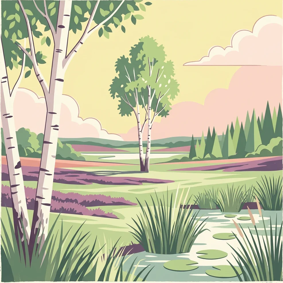
Map the diverse peat swamps, open water lakes, and sandy ridges of the southeastern Netherlands
Named Natural Features and Bog Landscapes of De Groote Peel National Park
Mapped hydrological features in the Netherlands
Streams
Browse the collection of named streams found throughout De Groote Peel National Park. This geographic overview highlights the role of these watercourses within the park, providing a clearer picture of the interconnected wetland and bog landscape that defines this protected area.
Continue Your Atlas Exploration of De Groote Peel National Park's Landscape
Deepen your understanding of De Groote Peel National Park by examining its specific geographic context and protected landscape features. This detailed entry serves as a gateway to appreciating the unique wetland terrain, mapped bog features, and the ecological importance of this protected area within the broader atlas of European natural sites. Continue to navigate its natural terrain and understand its conservation value.