Mori Atlas logo
National parkDe Groote Peel National Park

Explore the unique terrain and mapped boundaries of one of Western Europe's last uncultivated raised bogs.

De Groote Peel National Park: A Vital Raised Bog & Bird-Rich Wetland Protected Landscape

(Nationaal Park De Groote Peel)

De Groote Peel National Park offers a rare glimpse into one of Western Europe's last remaining uncultivated raised bogs, spanning approximately 13.4 square kilometers across the southeastern Netherlands. This protected landscape, shaped by centuries of peat extraction, presents a distinctive mosaic of open lakes, heathland, and inaccessible peat swamps. As a key Ramsar Wetland, the park is internationally recognized for its significant bird populations and serves as a critical stopover for migrating species, making it a prime destination for atlas-driven exploration of unique European ecosystems and mapped natural terrain.

raised bogwetlandbirdwatchingnature reserveprotected areaheathland
Illustration of a peat bog landscape with birch trees, a stream with lily pads, and tall grasses under a pale sky with soft clouds

De Groote Peel National Park

National park

Park overview

Structured park overview, official facts, and landscape profile for De Groote Peel National Park

De Groote Peel National Park park facts, protected area profile, and essential visitor context
Review the core facts for De Groote Peel National Park, including designation, size, terrain, visitor scale, habitats, and operating context in one park-focused overview.

About De Groote Peel National Park

De Groote Peel National Park represents a remarkable survival of a landscape type that once dominated large portions of the Dutch and Belgian lowlands. The original raised bog in the Peel region once covered more than 30,000 hectares, with peat layers reaching five to six meters in thickness. Beginning in medieval times, local communities harvested peat from the edges of the bog for domestic fuel use. The systematic, large-scale extraction of peat began around 1850 in the Brabant section, transforming the landscape dramatically as excavation created vast lakes and left behind a labyrinth of peat pits and drainage channels. When peat extraction became uneconomical in the twentieth century, portions of the area were converted to agricultural land, while other sections were abandoned and began the slow process of natural regeneration. The park today exists as a preserved core of this former peat landscape, maintained through careful management that prevents the nutrient enrichment that would destroy the specialized bog flora. The visitor experience at De Groote Peel emphasizes the raw, atmospheric quality of the wetland. A network of raised boardwalks, known as knuppelbruggen in Dutch, allows visitors to traverse otherwise impassable marshland. The park's visitor center, De Pelen, provides educational context about the ecosystem and its history. Certain areas are closed during the breeding season from March 15 to July 15 and during the main bird migration period from October 15 to November 30 to protect nesting and staging birds.

Quick facts and research context for De Groote Peel National Park

De Groote Peel is located in the Peel region of the southeastern Netherlands, straddling the boundary between Limburg and North Brabant provinces. The park covers 13.4 square kilometers of former peat extraction landscape. It was established as a national park in 1993 and is classified as IUCN Category II. The area is characterized by wet, nutrient-poor soils that have been maintained through active conservation management to support rare plant communities and their associated insects, particularly dragonflies and butterflies. The park is part of the Natura 2000 network of protected areas in the European Union.

Park context

Deeper park guide and search-rich context for De Groote Peel National Park

De Groote Peel National Park history, landscape, wildlife, and travel context
Explore De Groote Peel National Park through its history, landscape character, ecosystems, wildlife, conservation priorities, cultural context, and seasonal travel timing in a structured park guide built for atlas discovery and search intent.

Why De Groote Peel National Park stands out

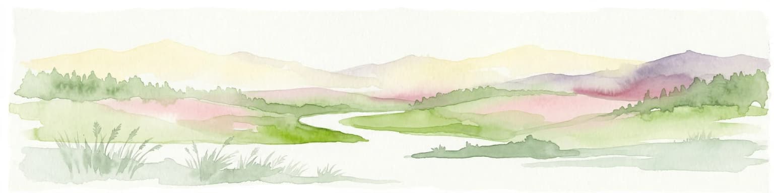
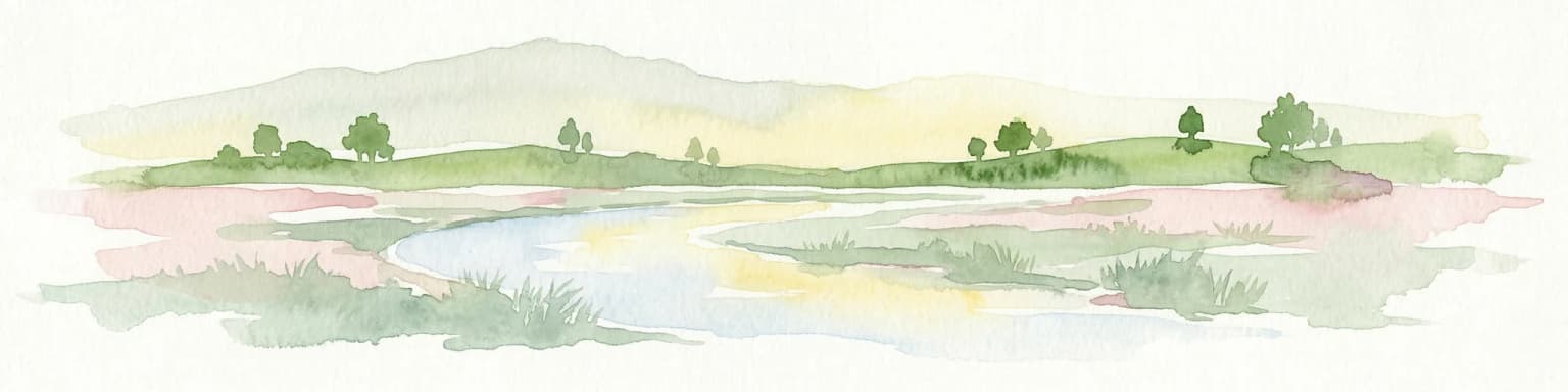
De Groote Peel is best known as one of the last substantial raised bogs remaining uncultivated in Western Europe. The park's defining characteristic is its mosaic of peat swamps, lakes, and heathland created by historical peat extraction. It has earned particular recognition as one of the most bird-rich wetlands in Western Europe, with resident black-necked grebes and seasonal flocks of migrating common cranes passing through in October and November. The park features a 3-kilometer walking route marked by red poles with an observation tower providing panoramic views of the open bog landscape. Visitors are cautioned to stay on marked paths, as the underlying peat swamps can be dangerously unstable.

A birch tree standing in a grassy field with a blue sky and scattered clouds above
Birch tree in the peat bog landscape of De Groote Peel National Park, Netherlands

De Groote Peel National Park history and protected-area timeline

The history of De Groote Peel is fundamentally tied to the extraction of peat, a fuel source that powered much of the Dutch economy from medieval times onward. The original raised bog developed over centuries in the Peel region, eventually forming an extensive peat dome covering what is now the border area between Limburg and North Brabant. Local communities harvested peat from the margins of the bog for their own use from the medieval period onward, creating the characteristic peat pits visible in the Limburg section today. The industrial-scale extraction of peat began around 1850 in the Brabant portion, where drainage allowed for systematic removal of the fuel. Excavators dug extensive networks of canals and railways to extract and transport the peat, leaving behind the large lakes that now define portions of the park landscape. When peat extraction ceased to be economically viable, much of the former bog was drained and converted to agricultural grassland and cropland. By the first half of the twentieth century, conservationists began advocating for protection of the remaining peat area as a nature reserve. Staatsbosbeheer, the Dutch State Forestry Service, began acquiring land for conservation in 1951 and subsequently undertook restoration efforts to re-establish appropriate hydrological conditions. The park was officially designated as a national park in 1993, becoming part of the Netherlands' system of protected areas.

De Groote Peel National Park landscape and geographic character

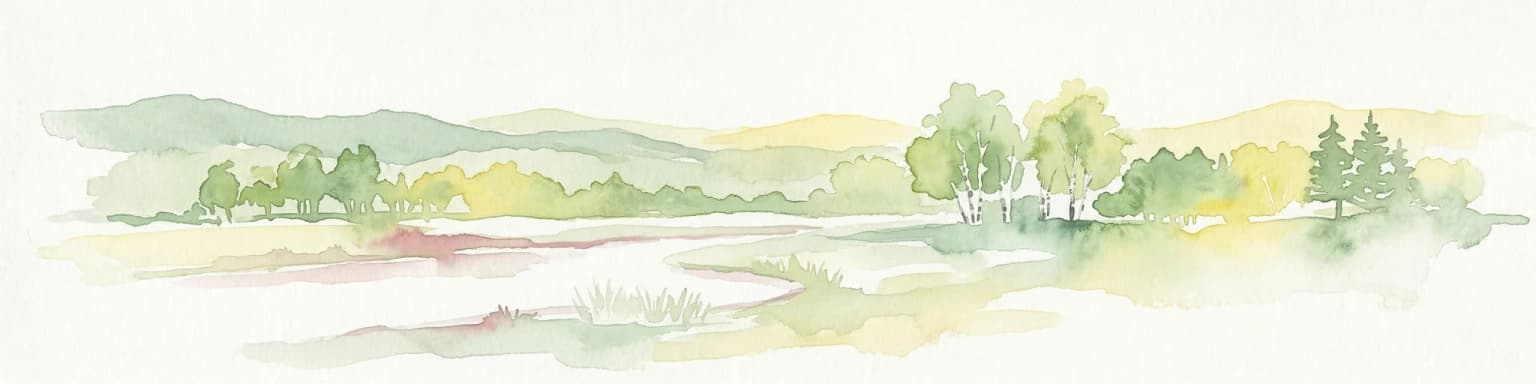
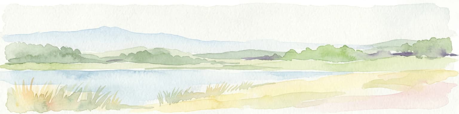
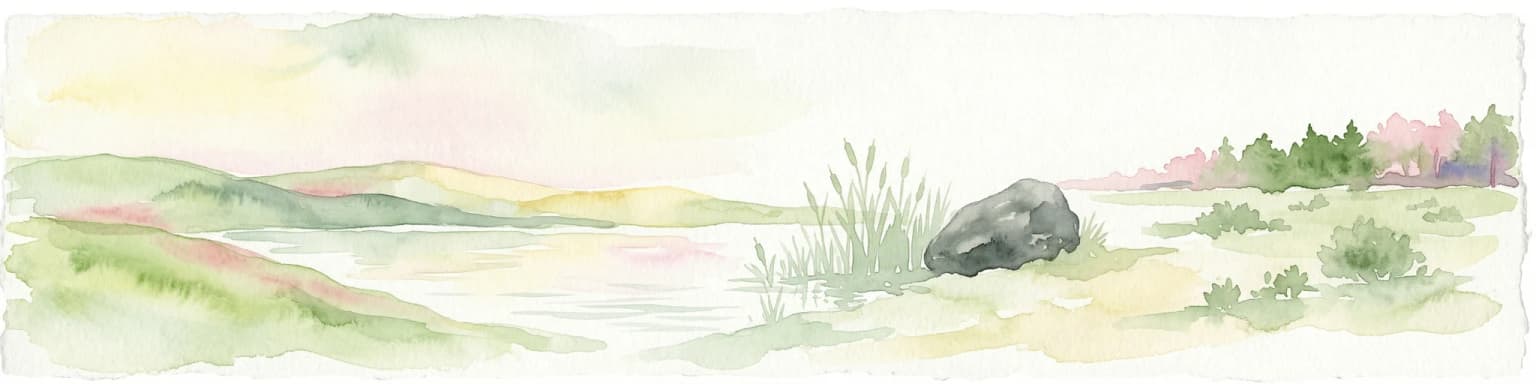
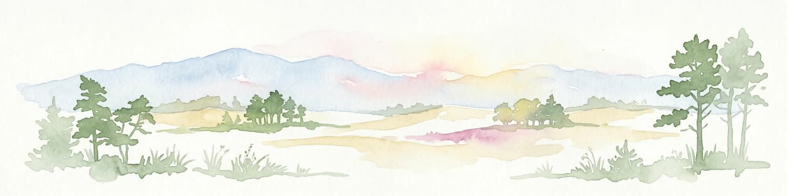
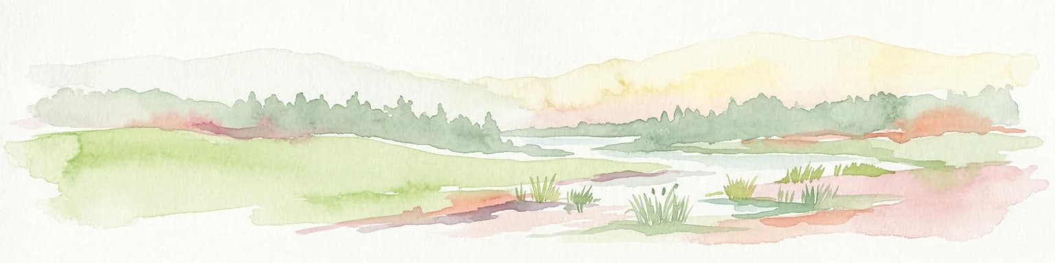
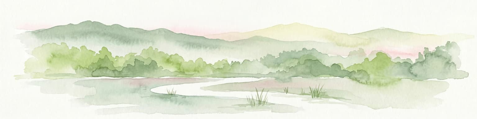
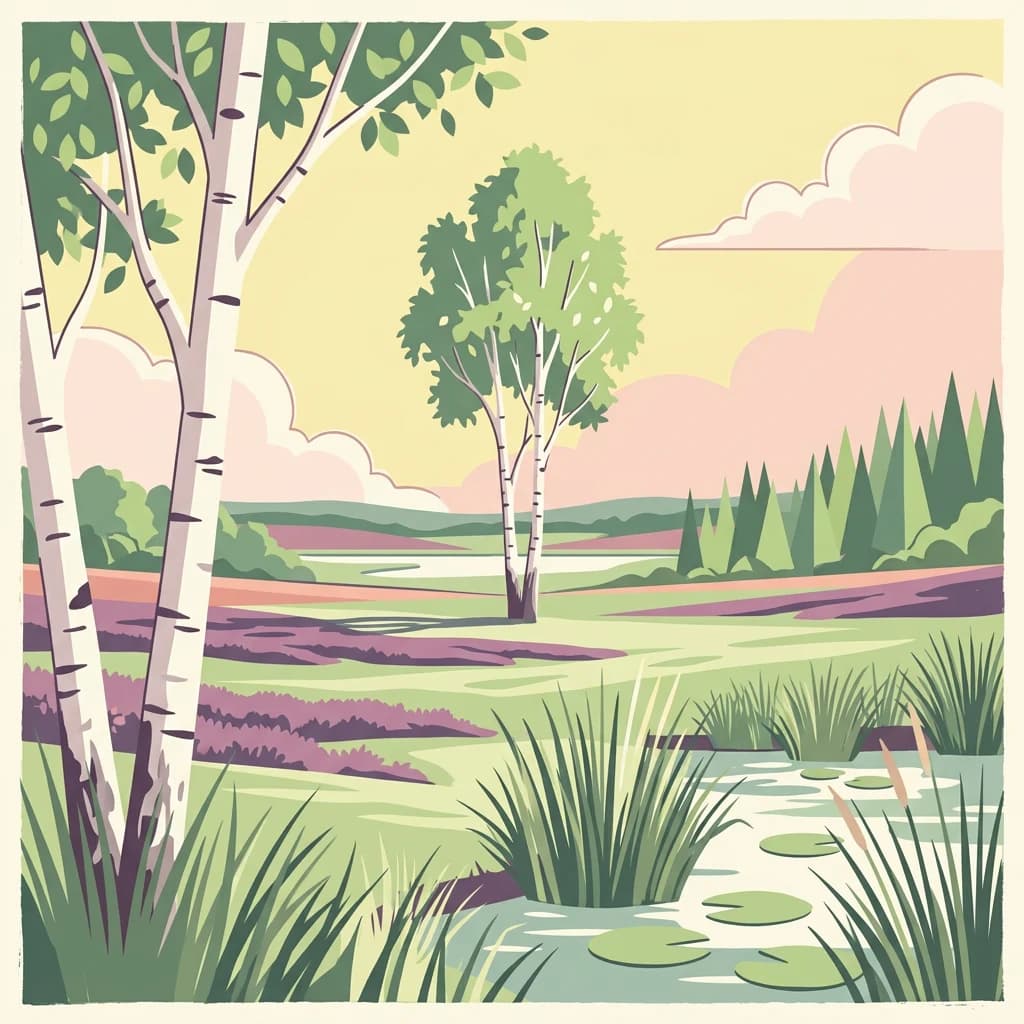
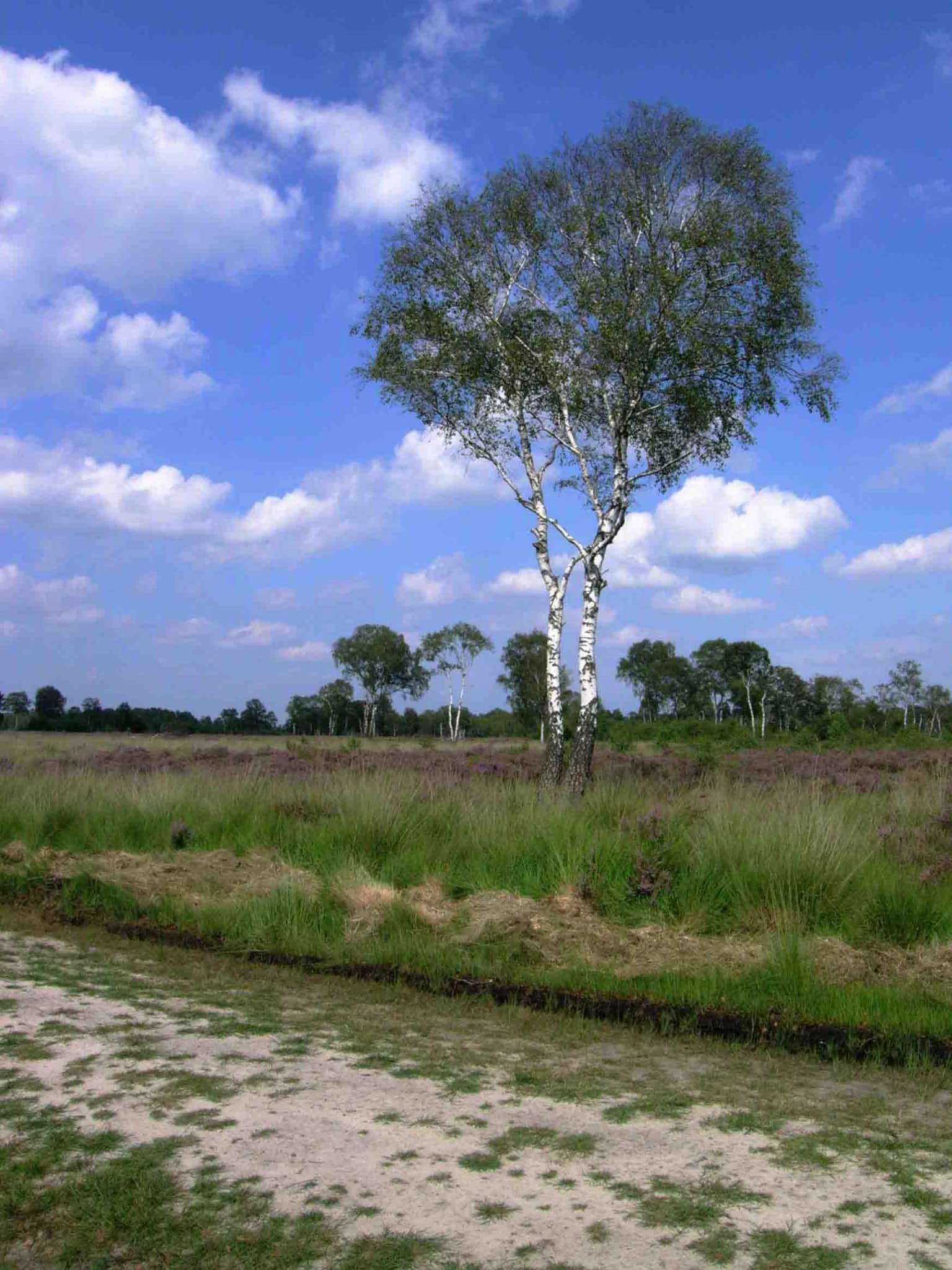
The physical landscape of De Groote Peel is a direct product of historical peat extraction overlaid on the natural formation of a raised bog. The terrain varies considerably across the park, featuring inaccessible peat swamps, open water lakes, heathland heather, and sand ridges that protrude from the peaty substrate. The lakes scattered throughout the park were created by the extraction of peat, leaving behind deep depressions that filled with groundwater and precipitation. The most distinctive landscape feature is the raised bog itself, a dome of accumulated plant material that once grew upward as the underlying vegetation died and decomposed slowly in the waterlogged, acidic conditions. Today, the bog remains partly intact in the core areas of the park, though the hydrology has been altered by historical drainage. Purple moor grass dominates the heath sections, creating distinctive purple hues during the flowering season. The sand ridges represent older, mineral-rich landforms that predate the development of the peat bog and now stand as islands of different vegetation amid the wetland. Visitors walking the elevated paths can observe the stark contrast between the open, treeless bog and the planted tree belts that were established around the mid-twentieth century to provide shelter and habitat.

De Groote Peel National Park ecosystems, habitats, and plant life

The ecological character of De Groote Peel is defined by its wet, nutrient-poor conditions that support a specialized community of plants and animals adapted to acidic, boggy conditions. The park contains a remarkable diversity of rare plant species precisely because the management maintains the low-nutrient, waterlogged conditions that contrast sharply with the demands of intensive agriculture. The damp, quiet environment created by the network of wetlands and the absence of major human disturbance has made the area exceptionally attractive to birdlife. The park is classified as one of the richest bird areas in Western Europe, with nearly one hundred species breeding within its boundaries during the spring season. The tree belts planted in the mid-twentieth century have created additional habitat for songbirds, expanding the avian community beyond the wetland specialists. The insect community is exceptionally rich, particularly dragonflies and butterflies that depend on the specific plant associations found in the bog and heath habitats. The Dutch name for the park refers to the Peel region, a landscape type that was once widespread across the Netherlands but has now been largely eliminated by drainage and peat extraction.

De Groote Peel National Park wildlife and species highlights

De Groote Peel supports an impressive avian community that is the primary wildlife draw for visitors. The park is particularly known for its population of black-necked grebes, a species that breeds resident in the wetland areas. Perhaps most dramatically, the park serves as a staging ground for migrating common cranes during October and November, when these large birds gather in significant numbers to feed before continuing their migration. Beyond these signature species, the park hosts nearly one hundred breeding bird species during the spring months. Autumn brings thousands of migrating birds, including waders, geese, cranes, and ducks that use the wetland as a rest and feeding area during their journey. The tree-planting initiatives have created habitat for a diverse community of songbirds that inhabit the scrub and woodland edges. Mammals present in the park include foxes and roe deer, while the wetlands support populations of amphibians and reptiles. The specialized bog and heath habitats support invertebrate communities including numerous dragonfly and butterfly species.

De Groote Peel National Park conservation status and protection priorities

De Groote Peel holds significant conservation importance both within the Netherlands and internationally. The park was designated as a Ramsar Wetland in 1980, recognizing its importance as a wetland habitat under the international Ramsar Convention. It is also part of the Natura 2000 network, the European Union's system of protected areas designed to conserve biodiversity. The park represents one of the few remaining largely intact raised bogs in Western Europe, making it a critical refuge for species dependent on this increasingly rare habitat type. The conservation strategy maintains the wet, nutrient-poor conditions that characterize the bog ecosystem, deliberately avoiding the drainage or nutrient enrichment that would allow agricultural use but would destroy the specialized biodiversity. Managing the water table to keep the ground damp and nutrient-poor is essential for preserving the rare plant species and the associated insects that form the base of the food web. The bird-rich character of the area is protected through seasonal closures during breeding and migration periods, preventing human disturbance at critical times.

De Groote Peel National Park cultural meaning and human context

The cultural landscape of De Groote Peel reflects centuries of human interaction with the peat bog environment. The Peel region has historically been characterized by its extensive peat deposits, and the extraction of peat for fuel shaped both the economy and the physical landscape. The Dutch word Peel in the park's name derives from the old term for a region of peat bog and marshland. The park lies within the municipalities of Asten, Nederweert, and Peel en Maas. The remnants of peat extraction remain visible in the landscape as peat pits, the characteristic peelbanen (peat extraction paths), and the peat canals known as peelvaarten that were used to transport the extracted fuel. This industrial heritage is woven into the contemporary nature landscape, creating a cultural as well as ecological dimension to the park's identity. The current land ownership is divided between Staatsbosbeheer and the municipality of Asten, reflecting a partnership between state and local stewardship of the protected area.

Top sights and standout views in De Groote Peel National Park

De Groote Peel offers a distinctive wetland experience centered on one of the last surviving raised bogs in Western Europe. The observation tower along the 3-kilometer marked trail provides sweeping views across the open bog landscape, particularly striking in the atmospheric light of autumn and early spring. The birdlife is exceptional, with the autumn crane migration representing one of the most memorable wildlife spectacles in the Dutch protected areas. The network of raised boardwalks allows visitors to experience the interior of the bog safely while minimizing disturbance to sensitive habitats. The park's Ramsar designation and Natura 2000 status reflect its international conservation significance as a biodiversity hotspot. The juxtaposition of the industrial peat extraction landscape with recovering wetland creates a unique historical ecology that distinguishes the area from other Dutch national parks.

Best time to visit De Groote Peel National Park

The character of De Groote Peel varies meaningfully across seasons, each offering distinct experiences. Autumn represents perhaps the most dramatic season, particularly October and November when common cranes migrate through the area in significant numbers, creating memorable wildlife viewing opportunities. The park's seasonal closures during the bird migration period from October 15 to November 30 affect access to certain areas, so visitors should check current conditions. Spring brings the breeding bird season, with nearly one hundred species nesting in the wetland, though the area closure from March 15 to July 15 protects the most sensitive nesting habitat. Summer displays the heathland in full bloom, with purple moor grass creating distinctive color across the open areas. The dragonfly and butterfly populations are most active during warm summer months. Winter offers a quieter, more austere experience of the bog landscape, with the skeletal trees and open water creating a different atmospheric quality. The park can be visited year-round, though the weather-dependent nature of wetland trails means conditions may be muddy orwet after precipitation.

Park location guide

Geography guide, regional context, and park location map for De Groote Peel National Park

De Groote Peel National Park park geography, regions, and map view in Netherlands
Understand where De Groote Peel National Park sits in Netherlands through a broader geographic reading of the surrounding landscape, nearby location context, and its mapped position within the national park landscape.

How De Groote Peel National Park fits into Netherlands

The Netherlands is a low-lying coastal country in Northwestern Europe, famous for its extensive dike and canal systems that reclaim land from the sea. It consists of twelve provinces and is known for tulips, windmills, and cycling culture. The country is a founding member of the European Union with Amsterdam as its capital and The Hague as the seat of government.

Wider geography shaping De Groote Peel National Park in Netherlands

The Netherlands is located in Northwestern Europe along the North Sea coastline to the north and west. It borders Germany to the east and Belgium to the south. The country is notably flat, with a significant portion of its territory lying below sea level, protected by dikes and dune systems. It consists of twelve provinces and also includes overseas municipalities in the Caribbean.

Map view of De Groote Peel National Park

Use this park location map to pinpoint De Groote Peel National Park in Netherlands, understand its exact geographic position, and read its mapped placement within the surrounding landscape more clearly.

Pigeon | © OpenStreetMap contributors

Location context for De Groote Peel National Park

LimburgNorth Brabant

Explore the unique visual geography of De Groote Peel, mapping its raised bog terrain, peat swamps, and rich bird habitat through detailed imagery.

De Groote Peel National Park Photos: Visualizing Wetland Landscapes, Habitats, and Bog Scenery
Browse a comprehensive collection of De Groote Peel National Park images to understand its distinctive wetland landscape, featuring expansive raised bogs, intricate peat swamps, and diverse heathland terrain. These visual resources offer crucial insight into the park's characteristic scenery, its specific protected-area environment, and the rich bird habitats that define this important Dutch natural area.

A birch tree standing in a grassy field with a blue sky and scattered clouds above

Peat bog water body surrounded by tall grasses and reeds with cloud reflections

Park atlas

Browse a geographic selection of parks and conservation landscapes across the surrounding region.

Compare Nearby Protected Areas and Wetlands After Exploring De Groote Peel National Park
After viewing De Groote Peel National Park, extend your geographic exploration to other national parks and protected areas, tracing the spread of wetlands, bogs, and conservation landscapes across the wider region. Compare park characteristics, mapped terrain, and regional contexts to understand the diverse protected-area geography surrounding De Groote Peel.
Watercolor painting of a landscape featuring a stream, trees, and rolling hills
National parkLimburg

De Meinweg National Park: Unique Terraced Landscape and Protected Area in Limburg

National Park with exceptional reptile and amphibian biodiversity.

De Meinweg National Park is a remarkable protected landscape located in the Dutch province of Limburg, distinguished by its rare terraced topography unlike any other in the Netherlands. This national park, covering 1,800 hectares, is a key component of the transboundary Grenspark Maas-Swalm-Nette, bordering Germany. Its ecological significance is underscored by its status as a Natura 2000 site, with notable biodiversity, particularly among reptiles and amphibians, and regenerating raised bogs. MoriAtlas offers a map-centric view of this unique protected area, detailing its geographic context and landscape features for structured discovery.

Area
18 km²
Established
1995
IUCN
II
Relief
Upland
National parkLimburg

De Maasduinen National Park: Mapping the Longest River Dune System in the Netherlands

Protected Landscape and Dune Terrain in Limburg

Delve into the geographic identity of De Maasduinen National Park, a vital protected area in Limburg. This page offers detailed insights into its remarkable dune landscape, heathlands, and forests, emphasizing its role within the Dutch natural atlas and its connections to surrounding conservation areas.

Area
45 km²
Established
1996
IUCN
II
National parkLimburg

Hoge Kempen National Park: National Park Protected Landscape and Limburg Geographic Context

Explore mapped boundaries within the Limburg region.

Gain a comprehensive understanding of Hoge Kempen National Park as a distinct protected national park. This resource provides critical insights into its geographic setting within the Limburg region, detailing its mapped boundaries and overall landscape context. It serves as an essential point for atlas exploration, allowing users to appreciate the park's role as a protected natural area and its place within the regional geography of Belgium.

Area
67 km²
Established
2006
IUCN
II
Watercolor illustration of rolling hills, a winding river, and fields with distant mountains
National parkNorth Brabant

Van Gogh National Park: National Park in North Brabant with Dune Landscapes

Explore mapped protected areas and regional geography.

Van Gogh National Park is a significant protected landscape in North Brabant, Netherlands, covering approximately 1,200 square kilometers. This national park is distinguished by its extensive drift sand dune systems, notable heathlands, and wooded valleys, offering a diverse terrain within the Dutch context. Named in tribute to Vincent van Gogh, it merges rich natural landscapes with cultural heritage, serving as a model for collaborative conservation and regional development, all mapped for detailed atlas exploration.

Area
1,200 km²
Established
2024
IUCN
II
Relief
Lowland
Watercolor artwork showing sand dunes, scattered trees, distant mountains, and soft sky
National park

De Loonse en Drunense Duinen National Park: Explore Dutch Protected Sand Drift Landscapes and Heathlands

National Park with unique living sand drift and dune terrain.

Navigate the geographic contours and protected land boundaries of De Loonse en Drunense Duinen National Park, a premier Dutch natural area. This national park is celebrated for its extensive living sand drift, one of the largest in Northern Europe, alongside significant heathlands and coniferous forests. Gain a structured understanding of its landscape character and its role within regional geography through detailed map context and atlas exploration tools.

Area
35 km²
Established
2002
IUCN
II
Relief
Lowland
Watercolor illustration of a park landscape with a winding stream, grassy fields, and distant hills
National parkGelderland

Veluwezoom National Park: Protected Landscape Atlas and Gelderland Geography

Explore oldest Dutch national park, heathlands, and glacial terrain.

Veluwezoom National Park is the Netherlands' inaugural national park, located in Gelderland. This page provides an atlas-driven exploration of its protected landscape, characterized by rolling heathlands, ancient forests, and dramatic glacial push moraines. Users can discover the park's geographical features, mapped boundaries, and its significance as a conserved natural area within the Veluwe region.

Area
50 km²
Established
1930
IUCN
II
Watercolor landscape showing green hills, forests, and a small stream with grassy patches
National parkUtrecht Province

Utrechtse Heuvelrug National Park: Mapped Protected Landscape and Geographic Atlas

Discover Utrecht Province's glacial ridge and diverse natural terrain.

Utrechtse Heuvelrug National Park is a significant protected natural area located in Utrecht Province, renowned for its unique glacial ridge topography. This entry provides detailed information about its mapped boundaries, diverse landscapes including heathlands and forests, and its importance as an ecological corridor within the Netherlands. Explore the park's distinct geography and its role in regional conservation through our structured atlas view.

Area
100 km²
Established
2003
IUCN
II
Visitors
1M annual
Watercolor painting of rolling hills, green trees, and a winding path
National parkGelderland

De Hoge Veluwe National Park: Mapped Protected Landscape & Geographic Atlas Context

Explore Gelderland's unique heathland, sand dune, and woodland terrain.

De Hoge Veluwe National Park represents a distinctive protected area within the Gelderland region of the Netherlands. Its landscape is characterized by a unique mosaic of heathlands, sand dunes, and woodlands, shaped by ice age processes and historical land use. This page offers an atlas-focused exploration of its geographic setting, mapped boundaries, and the specific terrain that defines this significant natural and cultural heritage site.

Area
55 km²
Established
1935
IUCN
II
Visitors
629.4K annual

Common questions about visiting, size, designation, and location context for De Groote Peel National Park

De Groote Peel National Park FAQs for park facts, access, geography, and protected area context
Find quick answers about De Groote Peel National Park, including protected-area facts, park geography, trail and visitor context, and how the park fits into its surrounding country and regional landscape.
MoriAtlas Explorer

Continue Your Protected Areas Search Across the Global Atlas

Deepen your exploration by continuing the structured search for national parks and protected areas worldwide. Utilize the comprehensive filtering capabilities to compare different conservation landscapes and refine your understanding of global park geography. Discover more about the distribution and characteristics of protected natural areas.

Global natural geography