Mori Atlas logo
Park earthquake history

A structured repository of historical seismic events associated with the Eagletail Mountains landscape.

Eagletail Mountains Wilderness: Recorded Earthquake History and Regional Seismic Data

Access a detailed catalogue of historical earthquakes recorded near Eagletail Mountains Wilderness. This dataset organizes events by epicentre distance, date, magnitude, and depth to provide a clear view of recorded seismic activity within this remote Sonoran Desert region. Each entry draws directly from regional geological records to map out the seismic history surrounding the wilderness, excluding hazard assessments or predictive outlooks.

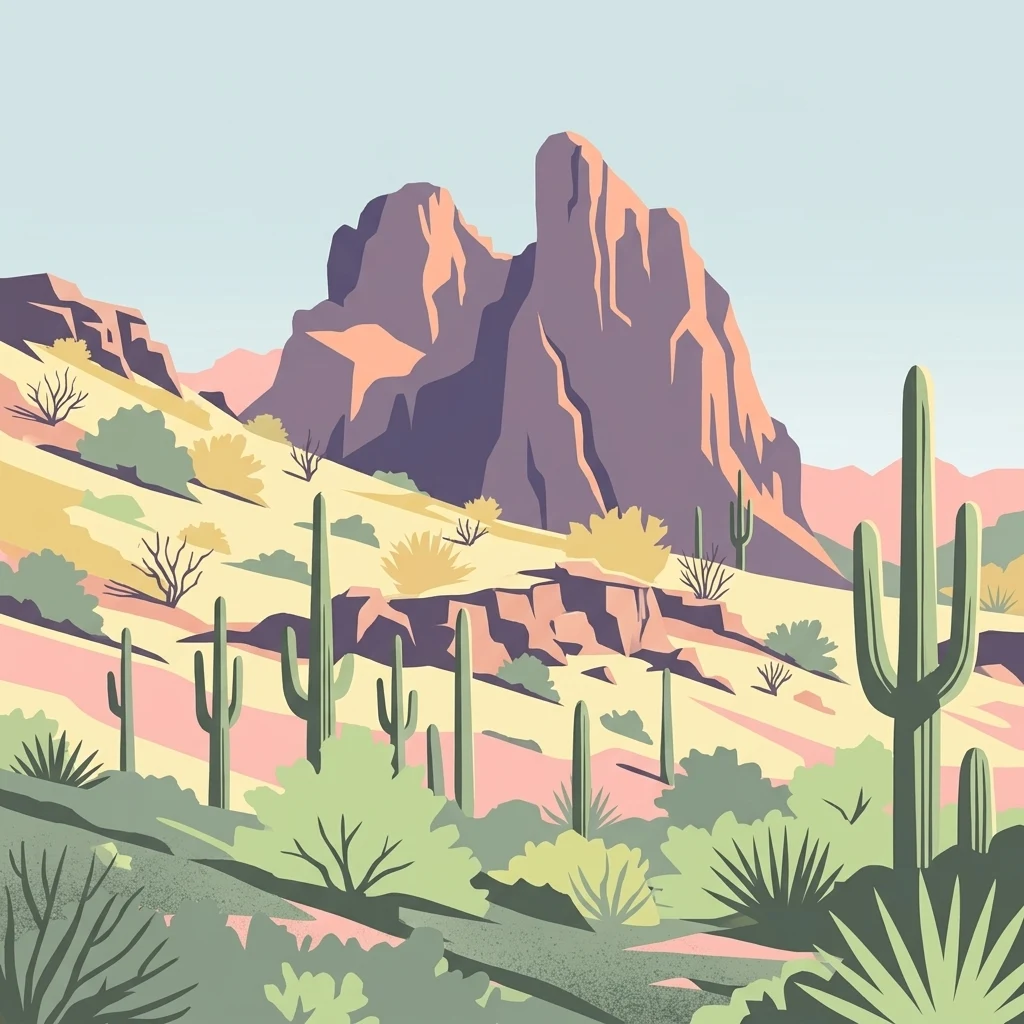
A flat-style digital illustration of a desert mountain landscape with prominent rock peaks in the background and saguaro cacti, shrubs, and succulents in the foreground.

Sonoran Desert mountain wilderness in central-western Arizona, protected for its remote desert ridges and arid landscapes.

Eagletail Mountains Wilderness

The Eagletail Mountains Wilderness is a federally protected wilderness area in central-western Arizona, located roughly 65 miles west of Phoenix. It covers nearly all of the Eagletail Mountains, an arid, isolated desert range that stretches along the northeast edge of the wilderness, as well as the lower cemetery ridge area to the southwest and the broad desert plains between them. The landscape is shaped by the Sonoran Desert environment, with rocky mountain terrain, wide bajadas, and open desert plains that drain toward the Bouse Wash basin. The wilderness sits between the Ranegras Plain to the northwest and the Gila Bend Mountains to the southeast, near the headwaters of Bouse Wash. This positioning places it within a transition zone of Sonoran Desert geography that remains relatively undeveloped. Designated as a wilderness area in the 1990s, the Eagletail Mountains Wilderness preserves a large swath of remote Arizona desert, providing protected habitat and a sense of solitude in a region otherwise crossed by Interstate 10 and surrounded by small desert communities such as Tonopah, Hyder, and Centennial.

Location
United States of America
Park type
Wildlife reserve
Area
407 km²
Eagletail Mountains Wilderness Map and Atlas

Compare Eagletail Mountains Wilderness dates, depths, and distances

Study recorded earthquake history around Eagletail Mountains Wilderness

Explore historical earthquakes around Eagletail Mountains Wilderness, a 407 km² terrestrial mountain reserve in the United States with desert and shrubland context; the search preserves coordinates and calculated distance alongside date, magnitude, depth, locality, and citation. It does not place nearby epicentres within the wilderness, link seismicity to its mountains, or state current or future hazard.

Sort by
Magnitude
Location

This page describes catalogued earthquakes associated with the park by epicentre location and distance. It does not establish causation, assess current danger, or predict future earthquakes.

No earthquake records match the current filters

Park atlas

Broaden discovery beyond Eagletail Mountains Wilderness earthquake data

Explore more parks after Eagletail Mountains Wilderness

Other protected park pages follow the earthquake catalogue for Eagletail Mountains Wilderness as a separate discovery route. Their inclusion does not imply common mountain terrain, wilderness status, earthquake records, geological setting, proximity, seismic relevance, hazard, risk, or equal source detail.
Watercolor painting of a desert scene with rolling hills in the background and saguaro cacti in the foreground.
Wildlife reserveMaricopa County
24 km away#1 closest

Northeast

Hummingbird Springs Wilderness: A Protected Sonoran Desert Landscape in Maricopa County

Rugged mountain terrain and desert wash networks

Spanning more than 31,000 acres, Hummingbird Springs Wilderness serves as a core protected area in the Sonoran Desert. The geography encompasses the Belmont Mountains, providing a stark contrast of arid peaks and sandy basins that extend through western Maricopa County. This roadless wilderness represents an essential connection between adjacent protected lands, maintaining a vast and isolated desert environment shaped by centuries of geological forces.

Area
126.26 km²
Established
1990
IUCN
Ib
Relief
Mountain
Wildlife reserveCalifornia
103 km away#2 closest

Southwest

Little Picacho Wilderness: Exploring the Protected Volcanic Terrain and Desert Geography

A rugged wilderness reserve in southeastern California

Little Picacho Wilderness is a protected desert landscape located along the lower Colorado River corridor. The area is defined by dramatic volcanic ridges, Picacho Peak, and extensive arid desert washes. This wildlife reserve serves as an important refuge for desert bighorn sheep, desert tortoises, and free-roaming wild horse herds, offering a clear window into the rugged geography of the Sonoran Desert.

Area
154.65 km²
Established
1994
IUCN
Ib
Relief
Mountain
Watercolor painting of a calm lake surrounded by green forests and distant mountain ridges.
Protected areaArizona
104 km away#3 closest

Northeast

Prescott National Forest: Geographic Overview of Arizona Protected Landscapes and Wilderness

Regional geography and protected terrain map of the Bradshaw Mountains

Spanning over one million acres, Prescott National Forest represents a defining outdoor landscape in Arizona. The terrain transitions from high desert chaparral to dense ponderosa pine forests, featuring eight distinct wilderness areas, rugged canyon systems, and essential watershed corridors that shape the regional ecology near Prescott.

Area
5,100 km²
Established
1908
Relief
Mountain
Climate
Temperate
Watercolor painting showing a soft landscape with rolling hills in the background and a grassy plain with sparse trees and water in the foreground.
Wildlife reserveUnited States of America
About 112 km away#4 closest

Northwest

Riverside Mountains Wilderness: Mapping the Desert Peaks and Protected Landscapes of California

A rugged desert wildlife reserve within the Lower Colorado River Valley

Riverside Mountains Wilderness features a tightly woven mosaic of dry drainages, rocky slopes, and sheltered canyon pockets. Situated in Riverside County, California, this protected area showcases a striking transition between steep mountain crags and open desert flats, providing a meaningful look at the Sonoran and Colorado Desert ecosystems along the Colorado River corridor.

Area
97.14 km²
Established
1994
Relief
Mountain
Climate
Arid
Protected landscapeArizona
121 km away#5 closest

East

Tonto National Forest: Understanding the Geography of an Expansive Protected Landscape

Exploring the vertical ecosystem gradients in Central Arizona

Spanning from arid Sonoran basins to the towering Mogollon Rim, Tonto National Forest offers a unique study in vertical geography and protected land management. This expansive territory provides a vital map of Southwest life zones, encompassing reservoir systems, rugged river canyons, and critical wilderness habitat that define the environmental identity of the region.

Area
11,627 km²
Established
1905
Visitors
5.9M annual
Relief
Mountain
Wildlife reserveCalifornia
About 123 km away#6 closest

West

Indian Pass Wilderness: Protected Sonoran Desert Geography and Terrain Mapping

Analyzing desert mountain slopes and riparian corridors in California

Indian Pass Wilderness represents a key protected-area unit where the arid Chocolate Mountains descend into the Lower Colorado River Valley. The area is defined by its dramatic drainage patterns, including Julian Wash, and its role as a transition zone between desert upland and riparian edge, serving as a critical study for understanding southwestern desert geography and protected landscape boundaries.

Area
131.19 km²
Established
1994
IUCN
Ib
Relief
Mountain
Wildlife reserveArizona
158 km away#7 closest

Northeast

Mazatzal Wilderness: Geographic Overview of Arizona's Expansive Protected Mountain Terrain

Mapping the ecological transition from desert canyon to forest ridge

Mazatzal Wilderness stands as an essential protected area in central Arizona, covering vast tracts of the Tonto and Coconino National Forests. The landscape is defined by the stark vertical contrast between the low-lying Verde River corridor and the high-elevation forests of the Mazatzal Mountains. This expansive wilderness remains a key study in regional topography and ecological zonation for those exploring the rugged backcountry of the southwestern United States.

Area
1,021.4 km²
Established
1964
IUCN
Ib
Relief
Mountain
Wildlife reserveYavapai County
About 165 km away#8 closest

North

Juniper Mesa Wilderness: Geological Landscape and Protected Area Mapping

Essential protected land data in Yavapai County

Juniper Mesa Wilderness protects a rare sedimentary mesa capped by Tapeats sandstone, rising above a vast granite landscape in Yavapai County. This geographic survey highlights the canyon-cut topography and the shifting vegetation zones that characterize the Transition Zone ecology within the Prescott National Forest.

Area
29.97 km²
Established
1984
IUCN
Ib
Relief
Mountain
MoriAtlas Explorer

Explore the Geographic Boundaries of Eagletail Mountains Wilderness

Continue mapping the rugged Sonoran Desert terrain within the Eagletail Mountains Wilderness. Access detailed geographic context for the ridgelines and desert basins that define this Arizona protected area as part of the wider MoriAtlas desert landscape database.