Mori Atlas logo
Park earthquake history

A comprehensive catalogue of historical seismic events linked by proximity to the island geography.

Recorded Earthquake History and Seismic Records Associated with the Island of Fetlar

This collection presents a structured history of recorded seismic events associated with Fetlar through epicentre location and proximity. The data provides a transparent view of historical activity in the surrounding North Isles, detailing specific event parameters like magnitude, depth, and distance for every tracked occurrence. This resource serves as a static catalogue for those examining regional seismic patterns in the Shetland Islands.

Related tags

Shetland IslandsNorth IslesScottish islandsseabird breedingred-necked phalarope

"The Garden of Shetland," a fertile North Isle renowned for seabirds and rich geology

Fetlar

Fetlar is one of the North Isles of Shetland, the archipelago off the far north of Scotland, and ranks as the fourth-largest island in the group. Although it is a small, sparsely populated place with a resident population in the low dozens, it carries an outsized ecological reputation because of its remarkably fertile soils, varied geology, and globally important seabird populations. The island is the most important breeding site in the United Kingdom for the red-necked phalarope and supports significant colonies of Arctic skua, great skua, Arctic tern, and storm petrels, which together with surrounding seas have earned it multiple overlapping conservation designations. Beyond its natural richness, Fetlar carries a deep human and cultural history. A great prehistoric wall, the Funzie Girt, divides the island and may date back to the Mesolithic period, while Brough Lodge, a Gothic country house built around 1820 by Arthur Nicolson, remains a major historical landmark under restoration. The island is also the birthplace of Sir William Watson Cheyne, a pioneer of antiseptic surgery and a former lord-lieutenant of Shetland. Today, Fetlar balances a fragile rural community, working crofting landscape, fragile infrastructure, and an unusually strong environmental identity, making it both a quiet inhabited island and a focal point of conservation interest in the North Atlantic.

Location
United Kingdom
Park type
Wildlife reserve
Area
40.8 km²
Highest point
158 m
Explore Fetlar Wildlife Reserve Geography

Search Fetlar earthquake observations by magnitude, depth, and distance

Investigate the historical earthquake record associated with Fetlar

Earthquakes associated with Fetlar are selected through epicentres and distance, not presumed occurrence within the protected area. Dates, magnitudes, depths, locations, distance measures, and sources preserve a historical trail without attributing island effects, claiming geological cause, identifying present danger, or projecting later activity.

Sort by
Magnitude
Location

This page describes catalogued earthquakes associated with the park by epicentre location and distance. It does not establish causation, assess current danger, or predict future earthquakes.

No earthquake records match the current filters

Park atlas

Leave Fetlar earthquake history for wider atlas discovery

Explore further protected park destinations beyond Fetlar

After the historical earthquake evidence linked with Fetlar, a standalone selection introduces other protected park pages. Its routes do not establish shared island character, legal status, earthquake observations, geology, geographic proximity, seismic importance, hazard, risk, or matching source depth.
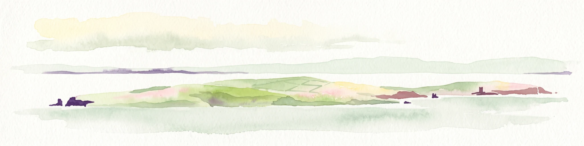
A soft watercolor painting of the island of Mousa in Shetland, depicting green and tan grassy hills surrounded by water, with the tall stone silhouette of the Mousa Broch visible on the island.
Wildlife reserveShetland Islands
About 62 km away#1 closest

South

Mousa, Shetland Wildlife Reserve: Mapping the Geography of a Northern Coastal Protected Area

Ancient broch ruins and critical island wildlife habitat

Mousa, Shetland provides a unique look at isolated island geography, featuring layered sedimentary geology and a high-density seabird ecosystem. Gain geographic insight into this protected site, encompassing historical Iron Age structures alongside vital nesting grounds located within the broader marine landscape of the Shetland archipelago.

Area
1.8 km²
Relief
Lowland
Climate
Temperate
Access
Moderate access
Marine protected areaShetland
About 71 km away#2 closest

South

Boddam Marine Protected Area: A Geographic Profile of Southern Shetland Coastal Waters

Coastal conservation landscapes and North Atlantic marine ecology

Located on the southern Mainland of Shetland, the Boddam Marine Protected Area stands as a vital site for marine conservation. The region is widely recognized for its consistent sandeel populations, which provide essential nourishment for seabirds and predatory marine mammals. This site combines a rich Norse crofting history with a sheltered maritime geography, offering a window into the interconnectedness of land and sea in the northern reaches of Scotland.

Relief
Lowland
Water
Major water bodies
Marine protected areaScotland
About 163 km away#3 closest

Northwest

Faroe-Shetland Sponge Belt MPA: Geographic Overview and Submarine Landscape Mapping

A deep-sea marine protected area in the Faroe-Shetland Channel

Delve into the geography of the Faroe-Shetland Sponge Belt MPA, where unique deep-sea sponge communities define the seafloor at depths between 400 and 600 meters. This site showcases the influence of hydrodynamic interactions between the North Atlantic and the Norwegian Sea on marine habitat distribution, offering a detailed look at offshore conservation within the Scottish maritime territory.

Area
5,278 km²
Established
2014
Relief
Lowland
Climate
Subpolar
Wildlife reserveOrkney
185 km away#4 closest

Southwest

Rousay Wildlife Reserve: Mapped Geography and Protected Landscapes in the Orkney Archipelago

Island moorlands, coastal cliffs, and freshwater loch ecosystems.

Rousay represents a critical protected area within the Orkney islands, characterized by its elevated moorland summits and dramatic shorelines. The mapped terrain reveals complex interactions between marine sounds and terrestrial habitats, offering a deep look into the regional geography and conservation status of this northern sanctuary.

Area
48.6 km²
Relief
Upland
Climate
Temperate
Access
Moderate access
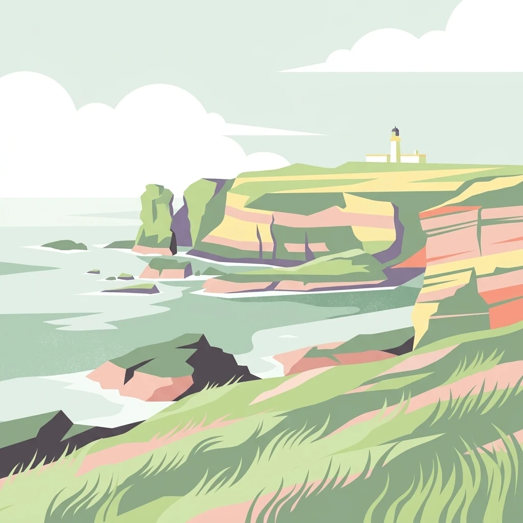
A minimalist, stylized vector illustration of coastal cliffs meeting the sea, with a lighthouse visible in the distance on top of the headland.
Marine protected areaHighland
About 258 km away#5 closest

Southwest

Noss Head Marine Protected Area: Highland Coastal and Benthic Geography

Exploring the rocky cliffs and offshore mussel habitats of Northern Scotland.

Noss Head is a notable marine protected area located on the Caithness coast of the Scottish Highlands. The site is defined by its rugged coastal cliffs and an expansive, nationally important horse mussel bed that occupies the seabed at depths between 35 and 45 metres. This area represents a core study in North Atlantic benthic ecology and dramatic maritime landforms.

Area
8 km²
Established
2014
IUCN
IV
Relief
Lowland
Nature reserveScotland
263 km away#6 closest

Southwest

East Caithness Cliffs Nature Reserve: Regional Geography and Coastal Protected Area Atlas

Coastal sandstone cliffs and maritime heath habitats in northern Scotland.

Examine the layered conservation architecture and physical geography of East Caithness Cliffs. This site serves as a prime example of protected northern coastal terrain, where sandstone formations and maritime heath support vast seabird populations across a mosaic of land and sea boundaries.

Area
116.96 km²
Established
1996
Relief
Upland
Climate
Temperate
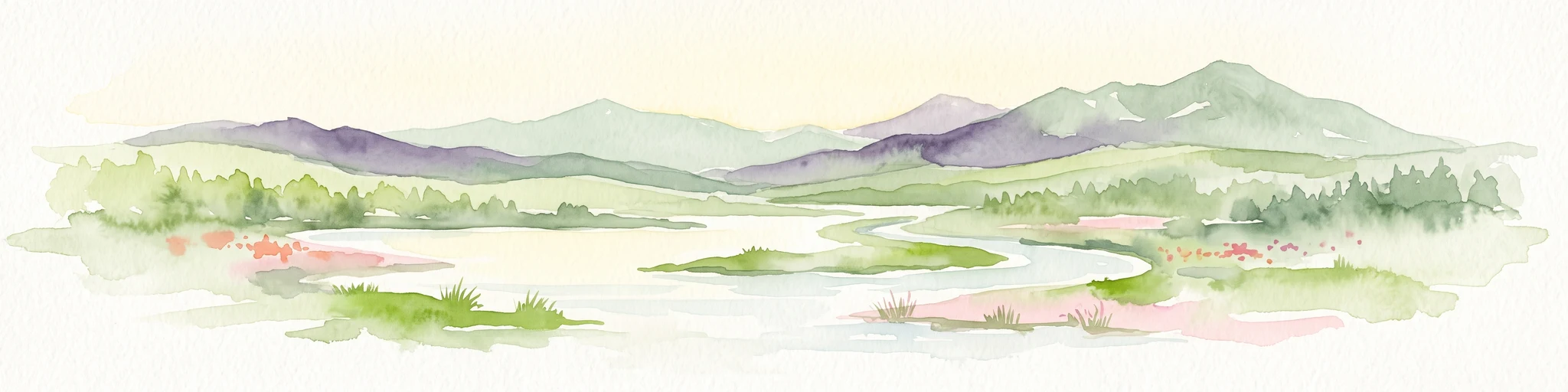
A watercolor painting showing a wide, sweeping landscape of green hills, a winding stream, and flat boggy terrain under a soft, light-colored sky.
Nature reserveScotland
About 284 km away#7 closest

Southwest

Flow Country: Geography and Protected Landscape Analysis of Scotland's Blanket Bog

Northern Scotland's vast, waterlogged peatland ecosystem.

The Flow Country is defined by its extensive, open peatland terrain stretching across Caithness and Sutherland. This nature reserve serves as a critical geographic study area for understanding blanket bog formation, carbon storage, and the restoration of fragile wetland habitats in northern Europe.

Area
4,000 km²
Relief
Lowland
Scope
Terrestrial
Water
Water-dominated
Marine protected areaScotland
About 307 km away#8 closest

Southeast

Norwegian Boundary Sediment Plain: A Deep Marine Protected Area in the North Sea

Submerged sand and gravel seabed habitats at the Scottish border.

Located at the outer limits of Scottish waters, the Norwegian Boundary Sediment Plain represents a specialized Marine Protected Area. It features a vast, flat sedimentary seafloor dominated by sand and gravel. This deep-water environment supports ancient benthic populations and offers a unique perspective on the stable, cold-water ecosystems found in the northern North Sea.

Area
164 km²
Established
2014
Relief
Lowland
Scope
Marine
MoriAtlas Explorer

Examine the Geography and Protected Boundaries of Fetlar Wildlife Reserve

Delve into the mapped terrain and ecological significance of Fetlar, a primary wildlife reserve within the Shetland Islands archipelago. Use MoriAtlas to trace the island's fertile landscape, prehistoric archaeology, and vital bird habitats that define this unique North Atlantic protected area.