
Mori Atlas logo
Park guides

Available thematic resources for Nigeria's largest protected area and its montane landscapes.

Gashaka Gumti National Park Thematic Guide Collection and Geographic Resources

Access curated thematic guides for Gashaka Gumti National Park, encompassing expert insights on seasonal timing and regional environmental conditions. These resources provide essential context for understanding the geography, mountain terrain, and ecological characteristics of Nigeria's largest national park as it stretches across Taraba State.

Related tags

national parksavannamontane forest Important Bird Areachimpanzee habitat

Nigeria's largest protected wilderness spanning savanna lowlands to montane highlands

Gashaka-Gumti National Park

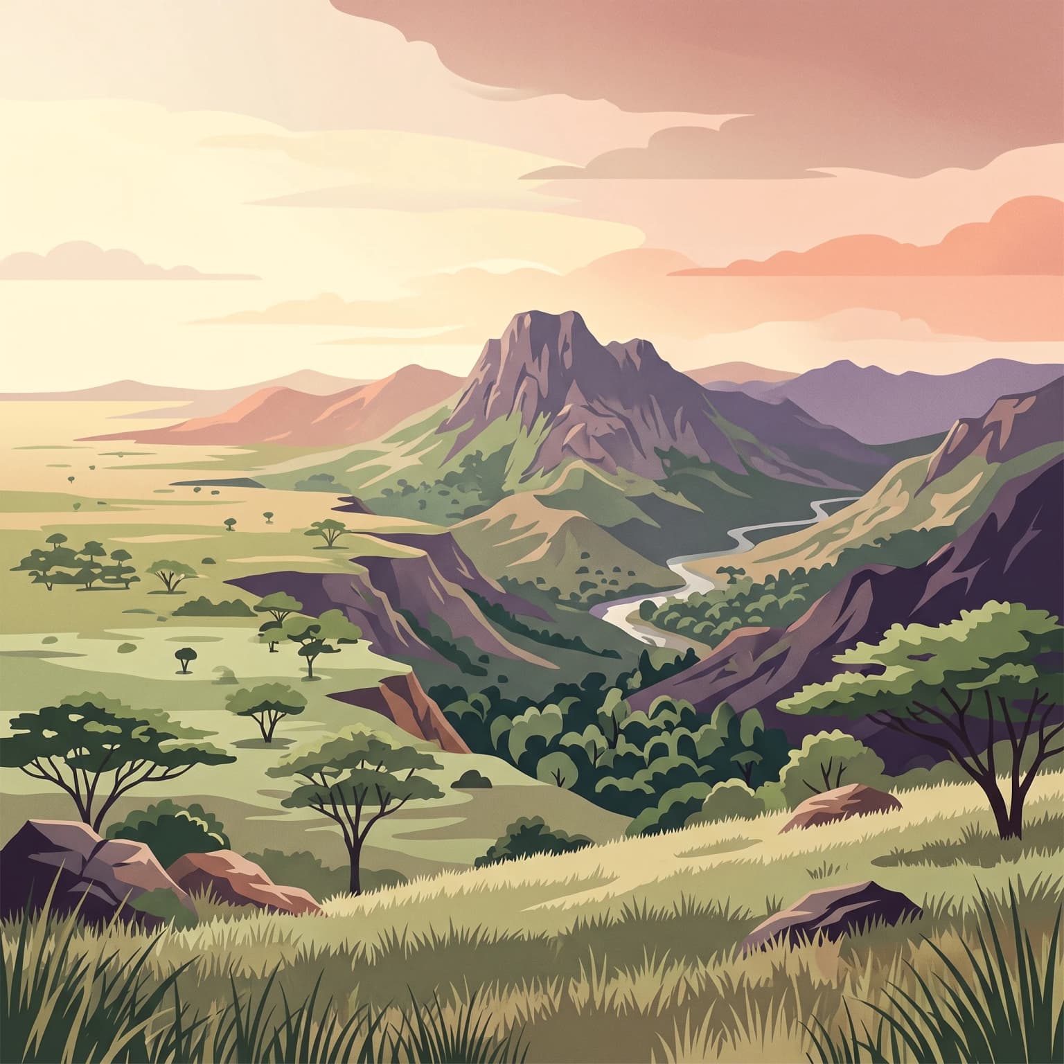
Gashaka-Gumti National Park represents Nigeria's premier protected wilderness area and the nation's largest national park, spanning a remarkable gradient of ecosystems from lowland savanna to montane forest. The park straddles the border regions of Taraba and Adamawa States in northeastern Nigeria, sharing its southern boundary with Cameroon. The geographical diversity is extraordinary: the northern portions consist of relatively flat Guinea savanna grassland ideal for viewing large herds of grazing ungulates, while the southern sector transforms into a dramatic landscape of steep mountain slopes, deep valleys, and gorges blanketed in montane forest. This topographical variation supports an exceptional breadth of biodiversity, with 103 mammal species recorded within the boundaries. The park functions as a critical watershed, feeding the Benue River system and maintaining reliable river flow throughout the year despite the semi-arid regional climate. Within the park boundaries exist designated enclaves where local Fulani pastoral communities continue traditional land-use practices, creating a complex human-wildland interface that requires careful management. The park's establishment followed decades of conservation advocacy, including early wildlife surveys in the late 1960s and 1970s that recognized the urgent need to protect the watersheds of the forested mountains supplying the Taraba River.

Location
Nigeria
Park type
National park
Established
1991
Area
6,402 km²
Highest point
2,419 m
Gashaka-Gumti National Park Geography
1 guide

Compare focused reference topics for planning targeted park inquiries

Published Guides and Thematic Resources for Gashaka Gumti National Park

Complete published reference materials for Gashaka Gumti National Park provide targeted insight into seasonal timing and environmental conditions. Reviewing specific visitor timing resources helps align travel dates with optimal weather periods for wildlife observation and terrain exploration.
MoriAtlas Explorer

Explore the Geographic Boundaries and Terrain of Gashaka-Gumti National Park

Dive into the complex landscape of Nigeria's premier protected area through the MoriAtlas framework. Analyze the topographical transition from northern savanna to southern montane peaks and visualize the critical watershed structures that define this vast wilderness.