Mori Atlas logo
Park earthquake history

A historical data collection of seismic events mapped by epicentre distance to wilderness boundaries.

Recorded Earthquake History and Seismic Records for Glacier Peak Wilderness, Washington

Review a detailed catalogue of recorded earthquake activity associated by geographic proximity to the Glacier Peak Wilderness in the central Cascade Range. This collection provides access to event dates, magnitudes, and epicentre distances derived from historical USGS records, allowing for a structured look at seismic data within this remote Washington landscape. The records highlight historical ground movement patterns documented in the region surrounding the park.

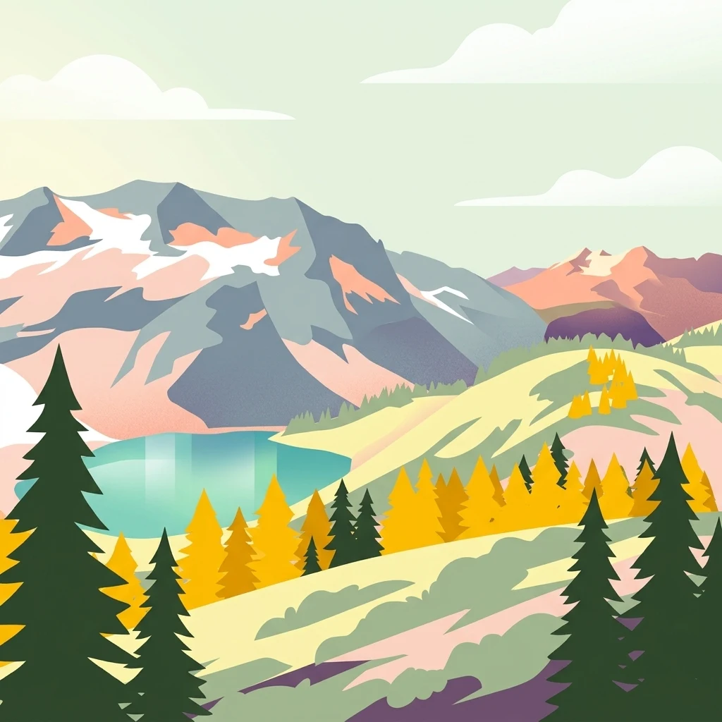
A stylized vector illustration of mountain peaks with snow patches, a turquoise lake, and yellow and green conifer trees in a hilly landscape.

A remote, glacier-crowned volcanic wilderness in Washington's North Cascades.

Glacier Peak Wilderness

Glacier Peak Wilderness is a large designated wilderness area in the central Cascade Range of Washington State, sprawling across parts of Chelan, Snohomish, and Skagit counties within the Wenatchee and Mount Baker National Forests. The landscape is defined by steep forested valleys, glacier-clad summits, deep stream courses, and high mountain lakes, all anchored by 10,541-foot Glacier Peak itself, an isolated volcanic cone rising in the heart of the range. The wilderness is widely recognized as the most remote major volcanic peak in the Cascades, and Glacier Peak ranks among the most heavily glaciated volcanoes in the contiguous United States, surpassed only by Mount Rainier and Mount Baker. Its combination of dense coniferous forests, rugged glaciated terrain, and remoteness from roads makes it one of the wildest and least-accessible major alpine areas in the lower forty-eight states. Designated in 1960, four years before the federal Wilderness Act, the area has long served as a stronghold for North Cascade mountain wildlife, including deer, elk, black bear, mountain goat, and the increasingly rare Canada lynx. Its complex terrain, glacier headwaters, and old-growth forests also give it significant ecological and hydrological importance within the broader North Cascades ecosystem.

Location
United States of America
Park type
Wildlife reserve
Established
1960
Area
2,290.8 km²
Highest point
3,213 m
Glacier Peak Wilderness Geography and Atlas

Navigate Glacier Peak Wilderness records by depth, place, and distance

Examine historical earthquakes around Glacier Peak Wilderness

Glacier Peak Wilderness’s earthquake view relates reported epicentres to its remote Cascade boundary through calculated distance, without treating the namesake volcano, glaciers, alpine ridges, or forested valleys as causes. Dates, magnitudes, depths, localities, sources, and wilderness-distance values support historical comparison while leaving landscape effects, current danger, and future activity unresolved.

Sort by
Magnitude
Location

This page describes catalogued earthquakes associated with the park by epicentre location and distance. It does not establish causation, assess current danger, or predict future earthquakes.

No earthquake records match the current filters

Park atlas

Expand beyond Glacier Peak Wilderness historical earthquake data

Browse further protected parks after Glacier Peak Wilderness

From Glacier Peak Wilderness's earthquake records, readers can continue beyond one glaciated volcanic landscape in Washington's central Cascades into other protected destinations. Their presence does not signify shared wilderness status, peaks, glaciers, distance, geology, seismic evidence, hazards, risk, alpine terrain, or equivalent atlas coverage.
A pale, minimalist watercolor painting depicting a calm lake surrounded by low, rolling mountains and forest under a soft pastel sky.
Protected landscapeChelan County
Park boundaries overlap#1 closest

Northeast

Lake Chelan National Recreation Area: Protected Geography and North Cascades Map

Glacial terrain and remote mountain valleys in Chelan County

Lake Chelan National Recreation Area protects a rare transition of alpine environments and river-carved valleys in north-central Washington. The terrain is dominated by the long, deep waters of the lake and the steep ridges of the North Cascades, creating an isolated habitat for wild landscapes and historic inland communities. Explore the physical boundaries and topographic features that define this rugged recreation area.

Area
250.74 km²
Established
1968
IUCN
V
Visitors
38.2K annual
A watercolor painting showing a panoramic view of mountain peaks in the distance above green foothills and plains.
Protected landscapeWashington
Park boundaries overlap#2 closest

Southwest

Mount Baker, Snoqualmie National Forest: Mapped Geography and Protected Landscape Analysis

Exploratory atlas of Washington's primary Cascade Range wilderness

Delve into the structural geography of Mount Baker, Snoqualmie National Forest. This protected area corridor serves as a major ecological transition zone between the Puget Sound lowlands and the interior Cascades, characterized by extensive glaciers, wild river systems, and iconic stratovolcanoes that define the regional landscape of Washington state.

Area
6,978 km²
Established
1974
Relief
Mountain
Climate
Alpine
National parkWashington
Park boundaries overlap#3 closest

North

North Cascades National Park: US National Park Protected Landscape and Geographic Context

Explore mapped boundaries and regional Washington geography.

Gain insight into North Cascades National Park, a vital US National Park located in Washington. This entry focuses on its protected land status, mapped geographic extent, and its role within the regional atlas. Users seeking to understand the park's landscape character, natural terrain, and its specific location in Washington will find this an essential point for detailed park geography exploration and protected area discovery.

Area
2,042.26 km²
Established
1968
IUCN
II
Visitors
16.5K annual
A watercolor painting of a mountain landscape with soft-colored rolling hills, a green forest line, and foreground vegetation on a white background.
Protected landscapeWashington
Park boundaries overlap#4 closest

Northeast

Okanogan, Wenatchee National Forest: A Comprehensive Look at Washington's Protected Mountain Landscapes

Mapping ecological gradients and wilderness boundaries across the eastern Cascade Range

Spanning from the moist coniferous forests of the western Cascades to the arid plateaus of the Okanogan, this massive national forest protects an unmatched diversity of terrain. Explore the intricate geography of river-carved valleys, glacial cirques, and remote wilderness areas that characterize this critical environmental corridor in the Pacific Northwest.

Area
6,066.33 km²
Established
1911
Visitors
397K annual
Relief
Mountain
Wildlife reserveWashington
1.2 km away#5 closest

Northeast

Lake Chelan-Sawtooth Wilderness: Geographic Atlas and Protected Landscape Overview

North Cascades Wilderness in Washington State

Located in the north-central Cascade Range of Washington, this protected wilderness area contains 63 glacial lakes and extensive alpine terrain. The region offers a complex landscape of cirques, subalpine meadows, and forested valleys that connect directly to the larger North Cascades protected network. Use this atlas to examine its mountainous geography and defined conservation boundaries.

Area
619.4 km²
Established
1984
IUCN
Ib
Relief
Mountain
A soft watercolor painting of a calm river or lake flowing through a green meadow with a forest and mountain range in the background.
Protected landscapeWashington
12 km away#6 closest

North

Ross Lake National Recreation Area: A Glacial Reservoir Landscape in Washington

Mapping the Skagit River and North Cascades alpine corridor

Located in the heart of Washington, Ross Lake National Recreation Area preserves a unique landscape of connected reservoirs and deep, glacier-cut valleys. This protected area acts as a vital geographic link within the North Cascades, offering access to high-altitude peaks, riverine forests, and the distinct turquoise waters of Diablo Lake.

Area
475.81 km²
Established
1968
IUCN
V
Visitors
998K annual
A watercolor painting showing a range of mountains in the background with soft pink, green, and yellow hues, with forest vegetation in the midground and foreground on a white background.
Protected landscapeWashington
39 km away#7 closest

Northwest

Mount Baker National Recreation Area: An Atlas of Washington's Volcanic Terrain

Exploration of a remote, roadless Cascade protected landscape

The Mount Baker National Recreation Area provides a unique geographic window into the volcanic heart of the Pacific Northwest. Characterized by its glacier-clad massif and network of subalpine trails, the area serves as a vital protected habitat for elk, mountain goats, and diverse conifer forests. This record details the park's topography, ranging from deep glacial valleys to high-elevation ridges that overlook the broader North Cascades region.

Area
34.29 km²
Established
1984
Relief
Mountain
Climate
Alpine
A horizontal watercolor painting showing a range of purple-tinted mountain peaks above a green forest and a light pinkish shoreline.
Wildlife reserveWashington
40 km away#8 closest

Northwest

Mount Baker Wilderness: Mapped Volcanic Peaks and Glacial Geography in Washington State

Protected wilderness boundaries in the Northern Cascades

Mount Baker Wilderness encompasses a vast mountain landscape characterized by an active stratovolcano and significant permanent snowfields. The terrain features a vertical gradient from dense west side conifer forests to exposed alpine summits, creating a distinct ecological corridor connected to neighboring protected areas in the Pacific Northwest.

Area
485.58 km²
Established
1984
IUCN
Ib
Relief
Mountain
MoriAtlas Explorer

Continue Exploring the Protected Landscapes and Mapped Geography of Glacier Peak Wilderness

Deepen your understanding of Glacier Peak Wilderness through our structured geographic data. MoriAtlas provides a clear view into the rugged terrain, glaciated mountain basins, and forest ecosystems that characterize this remote volcanic reserve within the Washington Cascade Range.