
Ponds
Park geography
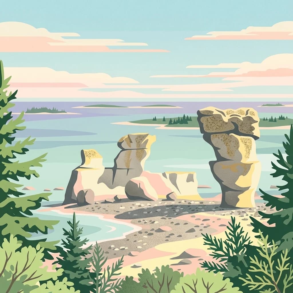
Analyzing the physical landscape, elevation markers, and coastal terrain of this protected region.
Gros Morne National Park: geography
Location: Canada. Recorded area: 1,805 km².

A UNESCO World Heritage Site where ancient ocean crust and mantle rocks are exposed along Newfoundland's wild west coast
Gros Morne National Park
Gros Morne National Park is a Canadian national park and World Heritage Site situated on the west coast of Newfoundland, spanning 1,805 square kilometers. It is the second largest national park in Atlantic Canada, characterized by dramatic mountain terrain, deep fjords, coastal cliffs, and bog landscapes. The park is named after Gros Morne, Newfoundland's second-highest peak at 806 meters, whose French name translates to large mountain standing alone. The Long Range Mountains, an eroded remnant of an ancient mountain range formed over one billion years ago, dominate the park's interior. In 1987, Gros Morne became a UNESCO World Heritage Site recognized for providing a rare geological window into the process of continental drift, where deep ocean crust and Earth's mantle lie exposed through the phenomenon of plate tectonics.
- Location
- Canada
- Park type
- National park
- Established
- 2005
- Area
- 1,805 km²
- Highest point
- 806 m
Location overview
Marine and coastal island status in Newfoundland and Labrador
Geographic Position of Gros Morne National Park in Canada
Gros Morne National Park is situated within the region of Newfoundland and Labrador in Canada. Registered geographic records confirm the protected area holds coastal, island, and marine status.
- Countries
- Canada
- Regions
- Newfoundland and Labrador
- Primary location
- Canada
- Geographic setting
- Coastal · Island · Marine
Boundary and coordinates
Analyzing the 1,805 square kilometer footprint and geographic coordinates
Mapped Boundaries and Geographic Extent of Gros Morne National Park
The detailed boundary visualization reveals the spatial limits of the protected landscape. Calculated metrics detail the 1,805 square kilometer area along with coordinate limits, center points, and geographic spans.
- Boundary area
- 1,892.1 km²
- Boundary perimeter
- 349.7 km
- Northernmost point
- 49.9761° N
- Southernmost point
- 49.2969° N
- Easternmost point
- 57.4085° W
- Westernmost point
- 58.1472° W
- Geographic centre
- 49.6304° N, 57.7401° W
- North–south span
- 75.5 km
- East–west span
- 53.4 km
Elevation and terrain
Mountain relief statistics and recorded natural features
Gros Morne National Park Terrain and Elevation Profile
Recorded elevation data outlines the mountain relief summary reaching up to 806 meters above sea level. Linked natural feature cards detail specific types, measurements, and spatial relationships across the terrain.
- Maximum elevation
- 806 m
- Highest point
- 806 m
Selected named natural features
Peaks
Long Range Mountains
Cave entrances
Sea Cave
Viewpoints
Western Brook Pond Viewpoint
Ponds
Tilt Pond
Mountain saddles
NT-2
Environmental setting
Boreal climate zone, mountain relief, and major coastal forest coverage
Gros Morne National Park Environmental Classifications and Physical Setting
Recorded landscape features and habitat types frame the physical setting of Gros Morne National Park through broad environmental categories. Connected atlas links associate these stored classifications with relevant protected terrain and regional geography.
- Relief
- Mountain
- Climate
- Boreal
- Water
- Major water bodies
- Forest cover
- Mostly forested
- Seasonality
- Seasonal
Landscape features
Mountains · Hills · Valleys · Plateau · Cliffs · Forest · Wetland · Coast · Glacier
Habitat types
Coastal habitat · Boreal forest · Wetland · Alpine meadow · Peatland · Marine habitat
Park atlas
Trace the regional geography and protected landscapes surrounding Gros Morne National Park, comparing adjacent natural areas.
Explore Other National Parks and Protected Areas Near Gros Morne National Park, Newfoundland
After exploring Gros Morne National Park, browse additional national parks and protected areas across its surrounding regional geography and similar protected landscapes in Atlantic Canada. Compare the geographic context and diverse protected-area types to deepen your understanding of conservation efforts across Newfoundland and eastern Canada.

Wildlife reserveQuebec
About 162 km away#1 closest
North
Baie-de-Brador Migratory Bird Sanctuary: Mapped Geography and Protected Landscapes
A remote wildlife reserve in the Gulf of St. Lawrence.
Located near the Lower North Shore of Quebec, this protected area spans both land and sea to preserve critical colonial seabird habitats. The site features the rocky islands of Île aux Perroquets and Île Greenly, set within a marine buffer zone that reflects the cold, subarctic character of the Atlantic corridor.
- Area
- 5.59 km²
- Established
- 1925
- IUCN
- Ia
Wildlife reserveQuebec
170 km away#2 closest
West
Refuge d'oiseaux migrateurs de la Baie-des-Loups Protected Area and Coastal Map
Marine-focused wildlife reserve on the Quebec coast
This wildlife reserve protects essential island and offshore foraging grounds in the Gulf of St. Lawrence. Its geography highlights the intersection of protected land and marine environments, creating a critical habitat for North Atlantic seabird populations along the Quebec lower North Shore.
- Area
- 38.72 km²
- Established
- 1925
- IUCN
- Ia

National parkNewfoundland and Labrador
266 km away#3 closest
Southeast
Terra Nova National Park: National Park Protected Landscape and Regional Geography
Explore mapped boundaries and landscape context.
Terra Nova National Park represents a significant protected area with a distinct geographic footprint within Newfoundland and Labrador. This page provides a detailed atlas-style view of its mapped landscape and protected land status, highlighting its role in the regional geography and Canada's network of natural reserves.
- Area
- 399 km²
- Established
- 1957
- IUCN
- II
- Visitors
- 45.2K annual
Wildlife reserveFrance
About 283 km away#4 closest
Southwest
Réserve nationale de faune de l'Île-Saint-Paul Wildlife Reserve and Regional Geography
Mapping the protected landscapes of France
The Réserve nationale de faune de l'Île-Saint-Paul provides a focused look at isolated terrain and coastal environmental protection. As a designated wildlife reserve in France, it offers a distinct opportunity to study boundary-driven conservation and regional geography through a mapping perspective that highlights its remote natural character.
- Established
- 2025
- Relief
- Lowland
- Climate
- Temperate
- Access
- Access unknown
Wildlife reserveQuebec
About 317 km away#5 closest
Southwest
Réserve nationale de faune de la pointe de l'Est: Quebec Coastal Wildlife Reserve Atlas
A mapped complex of parabolic dunes, lagoons, and migratory bird habitats
Located on the Magdalen Islands, Réserve nationale de faune de la pointe de l'Est safeguards an exceptional coastal landscape defined by wind-shaped barrier spits and extensive sand dunes. This protected area offers critical insight into the geography of the Gulf of Saint Lawrence, protecting diverse habitats ranging from salt marshes to rare parabolic dune formations and freshwater wetlands.
- Area
- 7.2 km²
- Established
- 1978
- IUCN
- III
- Relief
- Lowland
National parkNova Scotia
326 km away#6 closest
Southwest
Cape Breton Highlands National Park
Discover its national park geography and natural terrain.
Cape Breton Highlands National Park, in Nova Scotia, Canada. Landscapes: mountains, valleys, and plateaus.
- Area
- 949 km²
- Established
- 1936
- IUCN
- II
- Visitors
- 277.2K annual

National parkNewfoundland and Labrador
332 km away#7 closest
North
Akami−Uapishkᵘ−KakKasuak−Mealy Mountains National Park Reserve
Explore the geography and natural terrain of Newfoundland and Labrador.
Akami−Uapishkᵘ−KakKasuak−Mealy Mountains National Park Reserve, in Newfoundland and Labrador, Canada. Landscapes: mountains, forests, and coasts.
- Area
- 10,700 km²
- Established
- 2015
- IUCN
- II
- Relief
- Mountain
National parkMinganie Regional County Municipality
360 km away#8 closest
West
Mingan Archipelago National Park Reserve: Mapped Protected Landscape
Discover its national park geography in Minganie
Mingan Archipelago National Park Reserve is a designated national park offering a distinct protected landscape within the Minganie Regional County Municipality. This entry provides core geographic context and mapped details crucial for atlas exploration. Understand the park's boundaries and its regional landscape setting for comprehensive discovery of Canada's protected natural areas.
- Area
- 151 km²
- Established
- 1984
- IUCN
- II
- Visitors
- 44K annual
MoriAtlas Explorer
Gros Morne National Park
Explore the map, landscapes, and protection details for Gros Morne National Park.
Browse next
Global natural geography
Explore related park routes
Explore MoriAtlas Global ParksBrowse All MoriAtlas ParksGlobal Park Map DiscoveryMoriAtlas: Browse All CountriesBrowse All MoriAtlas ContinentsNational Park Environment AtlasGrand Canyon National Park AtlasYellowstone National Park AtlasYosemite National Park Atlas and GeographySerengeti National Park AtlasGalápagos National Park Protected LandscapeBanff National Park Geography and AtlasKruger National Park Atlas EntryExplore Uluru-Kata Tjuta National Park GeographyPlitvice Lakes National Park AtlasFiordland National Park Protected LandscapeGreat Smoky Mountains National Park AtlasZion National Park Protected Landscape AtlasAfghanistan National Parks and Protected AreasAlbania National Parks and Protected AreasAlgeria National Parks and Protected AreasAmerican Samoa National Parks and Protected AreasAndorra National Parks and Protected AreasAngola National Parks and Protected AreasAntarctica National Parks and Protected AreasAntigua and Barbuda Park List