
Mori Atlas logo
Nature reserveHolter Wald

A contiguous forest ecosystem defined by Senne sandy soils and diverse riparian brook valleys

Holter Wald Nature Reserve and Protected Woodland Landscape in Kreis Gütersloh, North Rhine Westphalia

(Naturschutzgebiet Holter Wald)

Holter Wald represents one of the largest continuous woodland areas along the eastern margin of the Westfälische Bucht. This protected nature reserve encompasses over 600 hectares of mixed pine, oak, and beech forests set across a gently rolling terrain. It serves as a vital ecological stepping stone, featuring naturally structured stream corridors and boggy microhabitats that support rare forest species within the wider regional geography of western Germany.

lowland forestsandy soilssenne landscapemixed woodlandpine-oak-beech forestriparian habitat
Stylized digital illustration showing a meandering river flowing through a forest towards a distant waterfall between rocky cliffs.

Holter Wald

Nature reserve

Park overview

Structured park overview, official facts, and landscape profile for Holter Wald

Holter Wald park facts, protected area profile, and essential visitor context

Review the core facts for Holter Wald, including designation, size, terrain, visitor scale, habitats, and operating context in one park-focused overview.

About Holter Wald

The Holter Wald is a sizeable protected woodland in the Senne region of eastern Westphalia, occupying a significant part of the municipal territory of Schloß Holte-Stukenbrock. It belongs to a series of nature reserves in the district of Gütersloh that together protect fragments of the historically woodland-poor Westfälische Bucht. With more than 600 hectares under formal nature reserve protection, the Holter Wald stands out as one of the larger contiguous forest blocks in this lowland setting between the Teutoburg Forest to the north and the more open agricultural plains of the surrounding region.

Ecologically, the forest reflects the geological character of the Senne. Its substrate is dominated by sandy soils laid down during the Pleistocene, which favor a particular mix of tree species. The canopy is largely made up of pine, oak, and beech, the classic Senne combination, while wetter areas along the brooks that traverse the woodland support moisture-loving species such as alder and ash. This vegetation mosaic creates a varied forest interior with stands of different ages and structures, providing habitat for both typical woodland species of the broader Westphalian region and more specialized organisms tied to old trees, deadwood, and undisturbed watercourses.

The three Senne brooks that cut through the landscape, the Landerbach in the north, the Ölbach through the center, and the Rodenbach in the south, are central to the forest's ecological identity. Their roughly east-west orientation structures the watershed and creates the riparian corridors that diversify an otherwise uniform sandy forest. Small patches of boggy soil within the otherwise dry terrain add further ecological value, supporting characteristic mire vegetation and associated fauna.

For residents of the surrounding towns in the district of Gütersloh and the neighboring parts of the Ostwestfalen-Lippe region, the Holter Wald serves as an easily accessible near-natural recreation area. Trails such as the Sammelteich nature trail, the historic Mühlgrund site near Verl with its old oil mill run by the Bethel institutions, and cultural landmarks like Jagdschloss Holte and the locally famous thousand-year-old oak give the reserve a combined ecological and cultural importance. The thousand-year-old oak in particular is so iconic that it features in the coat of arms of Schloß Holte-Stukenbrock.

Protection and management are organized under the landscape plan for the Senne landscape in the district of Gütersloh. The reserve's dual status as a national nature reserve and a European FFH site reflects its significance beyond local land-use planning, embedding it in the wider European network of protected habitats.

Quick facts and research context for Holter Wald

The Holter Wald is a nature reserve (Naturschutzgebiet) located in the town of Schloß Holte-Stukenbrock in the district of Gütersloh, North Rhine-Westphalia. Officially protected since 16 October 2008 and registered under the code GT-040, it is administered by the lower landscape authority of Kreis Gütersloh.

The reserve covers roughly 613 hectares of contiguous forest on the sandy soils characteristic of the Senne landscape. About 315 hectares of this area is simultaneously designated as a Fauna-Flora-Habitat zone under the European Habitats Directive, recognizing its value for rare birds, bats, and stream habitats, and its function as a stepping-stone biotope in the otherwise woodland-poor Westfälische Bucht.

Protection and recognition

Documented terrestrial protection scope, management framework, and Natura 2000 records.

Holter Wald Protection Status and International Recognition Data

Holter Wald maintains documented terrestrial protection status alongside verified Natura 2000 recognition records. Structured administrative entries outline the official conservation framework governing the protected forest landscape.

International recognition

Protection details

Protection scope
Terrestrial
Transboundary protection
No
WDPA ID
389787
Park context

Deeper park guide and search-rich context for Holter Wald

Holter Wald history, landscape, wildlife, and travel context

Explore Holter Wald through its history, landscape character, ecosystems, wildlife, conservation priorities, cultural context, and seasonal travel timing in a structured park guide built for atlas discovery and search intent.

Why Holter Wald stands out

The Holter Wald is best known as one of the largest contiguous forests on the eastern edge of the Westfälische Bucht, a lowland region otherwise dominated by open agricultural and settlement landscapes. Its Senne-typical mixed woodland of pine, oak, and beech on sandy substrate gives it a distinctive regional character within North Rhine-Westphalia. It is also recognized for its ecological bridging role. Combined nature reserve and FFH status highlight the forest as a stepping-stone biotope where rare cavity-nesting birds such as the black woodpecker, kingfishers, and several bat species find habitat, alongside small patches of boggy ground and naturally structured streams.
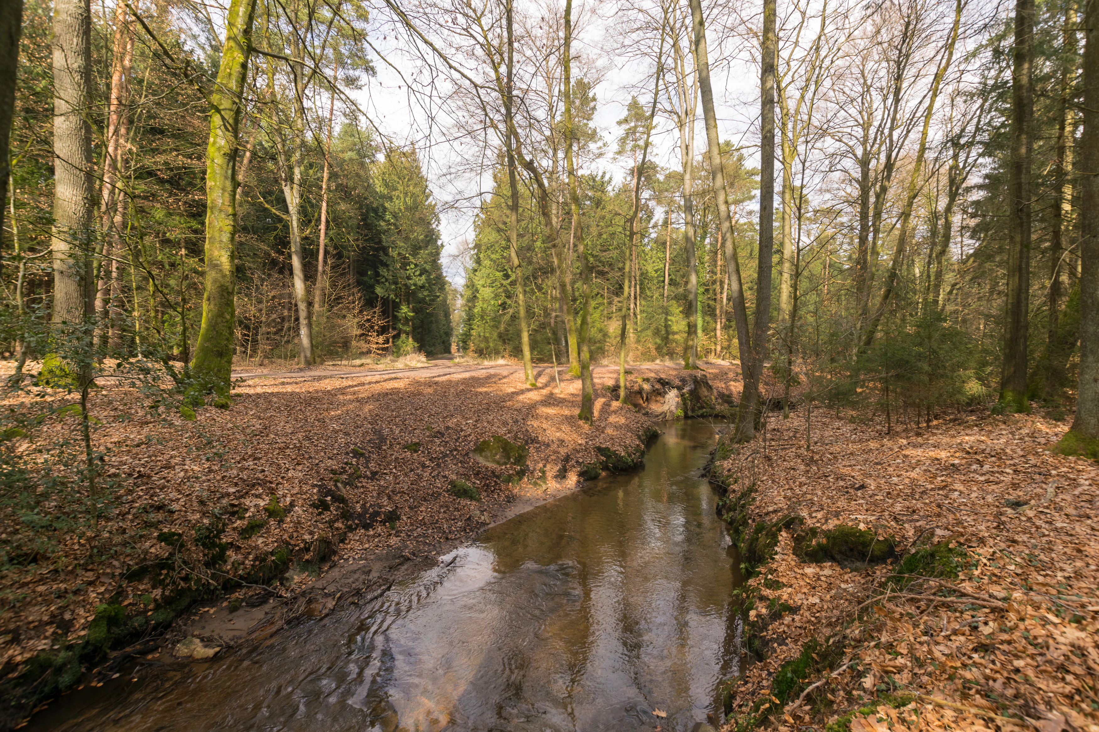
A small, calm stream flowing through a deciduous and pine forest with a ground covered in fallen brown leaves during late winter or early spring.
The Olbach stream flowing through the forested landscape of Holter Wald.

Holter Wald history and protected-area timeline

The Holter Wald's formal protection history is relatively recent. The area was designated as a nature reserve (Naturschutzgebiet) on 16 October 2008 and given the official identifier GT-040. Its management framework is defined by the landscape plan for the Senne landscape in the district of Gütersloh.

Though modern protection is new, the forest itself has long-standing cultural roots. On its western edge stands Jagdschloss Holte, a hunting lodge originally destroyed in 1556 by Bernhard von der Lippe and then rebuilt and completed in 1616. The forest is also associated with the so-called thousand-year-old oak, now a heraldic symbol featured in the town's coat of arms, and with historic watermill sites along its brooks, including the Mühlgrund oil mill near Verl, which has been adapted for use by the Bethel institutions.

The decision to designate roughly half of the area simultaneously as a Fauna-Flora-Habitat site reflects the growing recognition, across Europe in the early twenty-first century, of the forest's value as a habitat for rare woodland and stream species and as a stepping-stone biotope in the otherwise woodland-poor Westfälische Bucht.

Holter Wald landscape and geographic character

The Holter Wald occupies the eastern margin of the Westfälische Bucht, a broad lowland basin in western North Rhine-Westphalia. Its terrain is gently rolling rather than mountainous, shaped by the sandy outwash soils typical of the Senne landscape, a geological belt historically characterized by heathland, scattered woodland, and shifting sand.

Internally, the forest is structured by three parallel Senne brooks that run roughly from east to west. The Landerbach, the Ölbach, and the Rodenbach carve shallow valleys through the sandy substrate, creating locally moister corridors of alder and ash in contrast to the surrounding pine-oak-beech woodland on dry ground. Small boggy patches embedded in the otherwise sandy terrain form little pockets of mire vegetation and add topographic variety on a small scale.

The result is a lowland forest landscape of moderate relief, where the difference between dry sandy ridges and damper stream valleys shapes both scenery and ecological character. Although the elevations are modest, the contrast between open heath-like fringes, dense coniferous stands, and shaded brook corridors gives the Holter Wald a distinct visual identity within the broader Westfälische Bucht.

Holter Wald ecosystems, habitats, and plant life

Ecologically, the Holter Wald is representative of the Senne, a region marked by Pleistocene sandy deposits. The dominant forest type is a mixed stand of Scots pine, sessile or pedunculate oak, and beech, the classic combination for these soils. In the wetter zones along the Landerbach, Ölbach, and Rodenbach, alder, ash, and other moisture-loving species take over, creating a clearly differentiated riparian forest within the larger woodland.

The forest also contains small areas of boggy ground, a relatively rare feature in a landscape otherwise dominated by dry sandy soils. These patches support the typical vegetation of nutrient-poor mires and contribute to the broader habitat diversity of the reserve. Management objectives in the FFH designation explicitly aim at maintaining near-natural forest management, preserving cavity trees as nesting sites for rare bird species, and protecting the natural structure of both flowing and standing water bodies.

Holter Wald wildlife and species highlights

Wildlife value is one of the main reasons the Holter Wald carries European FFH status alongside its national nature reserve designation. The forest is recognized as an important habitat for rare cavity-nesting birds, particularly the black woodpecker, whose presence indicates older stands with mature trees and sufficient deadwood, and the kingfisher, which depends on clean, structurally rich streams such as the Ölbach and Landerbach.

Several bat species also use the woodland, roosting in older trees and foraging along the forest edges and brook corridors. The combination of old trees, varied canopy structure, and well-structured streams gives the reserve a more diverse fauna than the surrounding intensively used agricultural landscapes of the Westfälische Bucht.

The boggy patches and the streams themselves add further ecological interest, supporting invertebrates, amphibians, and other small fauna associated with moist, sheltered habitats. The reserve's role is therefore not as a place of charismatic large mammals but as a key refuge for specialist woodland, stream, and mire species in a lowland region where such habitats have become scarce.

Holter Wald conservation status and protection priorities

The Holter Wald has a layered conservation status that reflects its regional and European significance. At the national level, it has been a formally designated nature reserve (Naturschutzgebiet) since 16 October 2008, with a substantial portion also classified as a landscape protection area (Landschaftsschutzgebiet).

At the European level, roughly 315 hectares of the reserve are simultaneously part of the Natura 2000 network as a Fauna-Flora-Habitat (FFH) site. This designation is justified by the presence of rare species such as the black woodpecker, kingfisher, and several bats, and by the small boggy patches and well-developed stream sections that support characteristic habitat types under the EU Habitats Directive.

Conservation objectives focus on near-natural forest management, the retention of cavity trees, and the protection of natural flow regimes and water quality in the Ölbach and Landerbach. In the broader landscape context, the Holter Wald serves as a so-called stepping-stone biotope, a habitat island that connects the larger forest complex of the Senne with other woodland fragments in the otherwise woodland-poor eastern Westfälische Bucht.

Holter Wald cultural meaning and human context

Although its formal protection is recent, the Holter Wald carries a notable cultural-historical dimension. The most prominent landmark is Jagdschloss Holte on the western edge of the forest, a hunting lodge originally destroyed in 1556 by Bernhard von der Lippe and rebuilt and completed by 1616, today a listed historical monument.

The so-called thousand-year-old oak in the forest is so closely tied to local identity that it appears in the coat of arms of Schloß Holte-Stukenbrock. The historic Mühlgrund site near Verl, with its old oil mill and waterwheel, has been repurposed as a facility for people with disabilities run by the Bethel institutions based in nearby Bielefeld, linking natural heritage with regional social history.

The forest also functions as a popular local recreation area, with nature trails such as the Sammelteich educational path and various sporting facilities, embedding it firmly in everyday regional life.

Top sights and standout views in Holter Wald

Among the Holter Wald's strongest points of distinction are its sheer size as one of the largest contiguous forests in the eastern Westfälische Bucht, its dual national and European conservation status, and its clearly stepped landscape where dry sandy ridges alternate with shaded, moist brook valleys.

Equally notable are the cultural markers embedded in the landscape, from the Renaissance-era Jagdschloss Holte and the thousand-year-old oak to the Mühlgrund historic mill, which together turn the reserve into a place where Senne ecology meets Westphalian regional heritage.

Best time to visit Holter Wald

The Holter Wald is accessible year-round as a near-natural recreation area, and its character shifts with the seasons rather than being tied to a narrow visitation window. Spring and early summer bring fresh green growth along the brooks and active bird life, including the breeding season for woodpeckers and other cavity-nesting species. Summer offers cool shade under the mixed pine-oak-beech canopy and is well suited to walking the lower trails and visiting the Sammelteich area.

Autumn is particularly atmospheric, when the oak and beech add warmer tones to the predominantly coniferous forest and the historic landmarks such as the thousand-year-old oak become a natural focal point for walks. Winter visits are quieter, with the open sandy soils and bare deciduous trees making it easier to observe the forest structure, streams, and boggy patches that characterize the landscape.

Monthly climate preview

Long-term temperature and precipitation records across twelve measured months

Holter Wald Climate Normals and Representative Monthly Weather Patterns

Representative coordinate measurements track average monthly temperatures from near freezing values to warmer maximums alongside steady precipitation levels throughout the year. Reviewing the complete monthly sequence provides detailed long-term climate normals for Holter Wald without relying on short-term forecasts.
Annual mean9 °C
1 °C18 °C
Jan
Feb
Mar
Apr
May13°
Jun16°
Jul18°
Aug18°
Sep14°
Oct
Nov
Dec
Warmest month
July

18.1 °C

Coolest month
January

0.5 °C

Wettest month
December

2.6 mm/day

Driest month
April

1.6 mm/day

Park location guide

Geography guide, regional context, and park location map for Holter Wald

Holter Wald park geography, regions, and map view in Germany

Understand where Holter Wald sits in Germany through a broader geographic reading of the surrounding landscape, nearby location context, and its mapped position within the national park landscape.

How Holter Wald fits into Germany

Germany is a federal republic in Western and Central Europe with a population of over 83 million across sixteen constituent states. It is Europe's largest economy by nominal GDP and a major global exporter and importer. The capital is Berlin, and the country borders Denmark, Poland, Czech Republic, Austria, Switzerland, France, Luxembourg, Belgium, and the Netherlands.

Wider geography shaping Holter Wald in Germany

Germany is located in Western and Central Europe, spanning 357,022 km². It borders Denmark to the north, Poland and the Czech Republic to the east, Austria and Switzerland to the south, and France, Luxembourg, Belgium, and the Netherlands to the west. The country has coastlines on the Baltic Sea and North Sea to the north, with the Alps located in the southern region.

Map view of Holter Wald

Use this park location map to pinpoint Holter Wald in Germany, understand its exact geographic position, and read its mapped placement within the surrounding landscape more clearly.

Pigeon | © OpenStreetMap contributors

Location context for Holter Wald

Kreis GüterslohNordrhein-Westfalen
Recorded earthquake history

View Recorded Earthquake History for the Holter Wald Protected Area

Access the comprehensive collection of seismic events recorded in the vicinity of Holter Wald. This MoriAtlas dataset allows for the review of historical event parameters to provide geographic context for the region, independent of any hazard assessment or predictive analysis.

Holter Wald Earthquake History

Catalogued events

2 events

Strongest magnitude

Magnitude 3

Most recent event

Dec 20, 2008

This history includes earthquakes recorded inside the park or within 50 km of its borders

Visual reference guide to sandy ridges, mixed woodland, and stream valleys

Holter Wald Photos and Protected Landscape Scenery

Visual documentation captures the sandy soils, mixed pine and beech woodland, and shaded brook corridors defining the protected forest environment. Photographic records reveal the topographic contrast between dry ridges and moist riparian zones across the lowland basin.

A small, calm stream flowing through a deciduous and pine forest with a ground covered in fallen brown leaves during late winter or early spring.

Park atlas

Compare regional forest reserves and nearby protected areas across the Westfälische Bucht basin.

Explore Parks Near Holter Wald and Surrounding Protected Landscapes

Continue browsing related protected areas and lowland woodland reserves located near Holter Wald in western Germany. Comparing adjacent natural habitats provides broader context for regional forest conservation and local terrain patterns.
A watercolor painting of a wetland landscape with soft green hills, trees, and a winding waterway.
Nature reserveNorth Rhine-Westphalia
About 2.1 km away#1 closest

East

Kipshagener Teiche Nature Reserve: A Protected Wetland Sanctuary in North Rhine-Westphalia

Geographic analysis of historic bogs and managed wetland habitats

Kipshagener Teiche is a small but essential nature reserve in the Senne region, characterized by a distinct mosaic of ponds, transitional bog, and wet heath. Originally protected in 1937, the site serves as a vital record of wetland biodiversity and recovery in western Germany. Its varied topography, featuring dune-based pine plantations and swamp forest, offers a precise look at the intersection of conservation and landscape management in a human-influenced region.

Area
0.113 km²
Established
1970
IUCN
IV
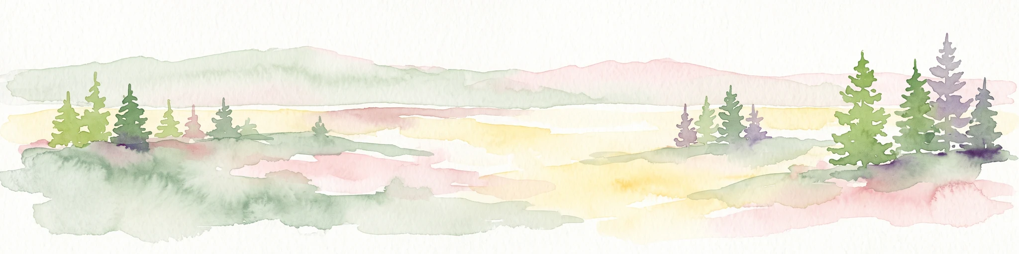
A horizontal watercolor painting depicting a soft-toned landscape with scattered evergreen trees and undulating, sandy terrain under a light sky.
Nature reserveNordrhein-Westfalen
About 5.8 km away#2 closest

Southeast

Moosheide Nature Reserve: Mapping the Ancient Inland Dune Landscapes of Nordrhein-Westfalen

Protected heathland and spring-fed habitat geography.

Moosheide provides a focused look at the geomorphology of the western Senne region. This reserve protects some of the oldest inland dunes in northwestern Germany, alongside a rare juxtaposition of dry sandy grasslands and groundwater-dependent stream valleys that support high species diversity.

Area
4.427 km²
Established
1994
IUCN
IV
Relief
Lowland
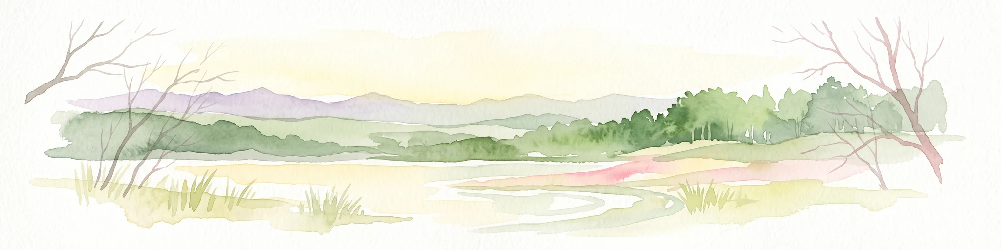
A watercolor painting showing a soft, peaceful landscape with bare trees in the foreground, green trees in the midground, and distant hills under a pale sky.
Nature reserveNorth Rhine-Westphalia
About 6.1 km away#3 closest

Northwest

Kampeters Kolk Nature Reserve: Geographic Overview and Protected Wetland Boundaries

Senne region heath pond and wetland mosaic in North Rhine-Westphalia

Kampeters Kolk preserves a significant fragment of the historic Senne heath landscape in North Rhine-Westphalia. The reserve centers on a small, artificial pond created by peat extraction, now surrounded by a rich sequence of sedges, reed stands, and willow-alder shrub thickets that provide critical habitats for local amphibian populations.

Area
0.02 km²
Established
1993
IUCN
IV
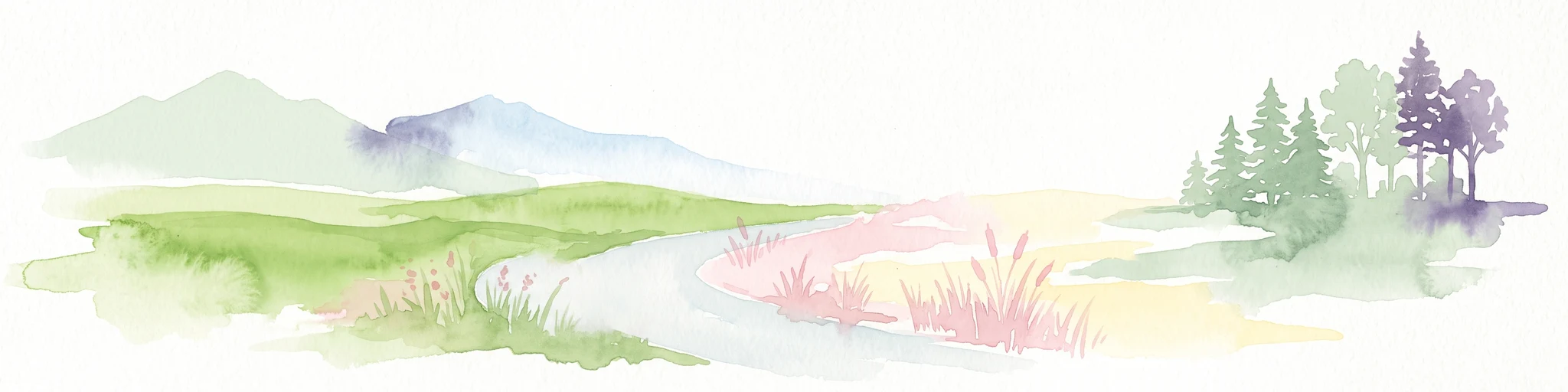
A soft watercolor illustration featuring rolling green hills, a small grouping of trees on the right, and open grassy terrain on a white background.
Protected areaNordrhein-Westfalen
About 11 km away#4 closest

East

Senne mit Teutoburger Wald: Protected Habitat and Regional Geography Atlas

Heathland and forest ecosystems in North Rhine-Westphalia

This protected area presents a unique geographic profile, merging expansive lowland heath and dune systems with the wooded slopes of the Teutoburg Forest. Its distinct ecological gradient and significant size make it a critical site for habitat conservation, bird protection, and study of transition zones between sandy plains and mountain ridges.

Area
153.597 km²
Established
2001
Relief
Mixed relief
Climate
Temperate
Protected landscapeKreis Paderborn
About 12 km away#5 closest

South

Landschaftsschutzgebiet Delbrücker Rücken Protected Landscape Map and Regional Context

A rural ridge mosaic in the Kreis Paderborn district

This protected landscape in the Kreis Paderborn district features a characteristic mix of deciduous forests, field hedgerows, and agricultural zones on a gentle Westphalian ridge. Its geographic layout provides a clear example of rural land protection integrated into the local environmental buffer system, showcasing a distinct mosaic of terrain that stretches across the lands north and east of Delbrück.

Area
16.1 km²
Established
1970
Relief
Lowland
Climate
Temperate
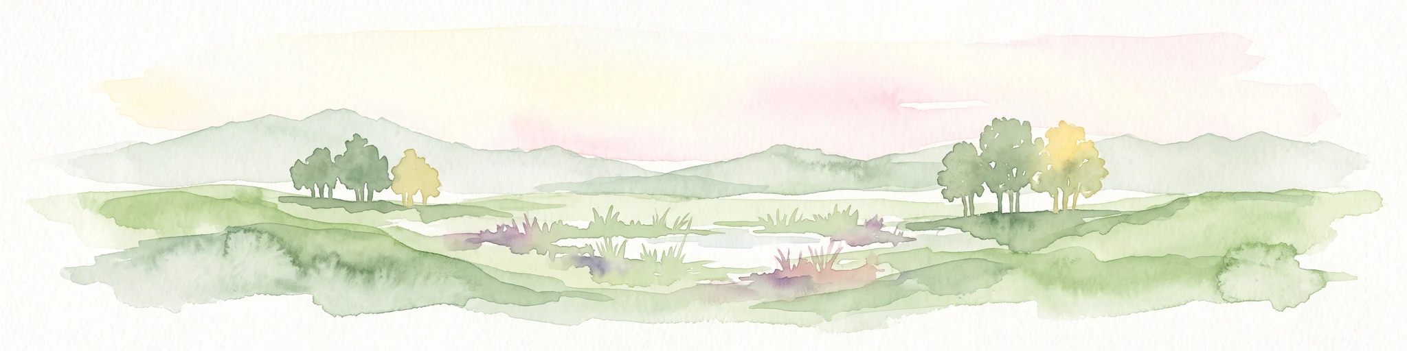
Watercolor painting of a peaceful wetland landscape with green grassy fields, small groups of trees, and a central pond, set against a soft, pale background.
Nature reserveNordrhein-Westfalen
About 12 km away#6 closest

Southwest

Rietberger Emsniederung mit Steinhorster Becken: Geography and Nature Reserve Atlas

Protected floodplain habitats in North Rhine-Westphalia

Situated along the upper Ems river, this protected area serves as an essential ecological corridor. Examine the mapped extent of its wet meadows, basin structures, and riverine channels that distinguish this region from the surrounding agricultural landscape.

Area
9.28 km²
Established
2000
Relief
Lowland
Climate
Temperate
Nature reserveNordrhein-Westfalen
About 13 km away#7 closest

Northeast

Windwehetal Nature Reserve: Mapped Protected Brook Valley in Nordrhein-Westfalen

Dynamic stream geography and woodland protected landscapes

Windwehetal represents a compact yet ecologically significant protected area in the German federal state of North Rhine-Westphalia. The reserve showcases near-natural stream dynamics, including undercut slopes reaching three metres, alongside a complex mosaic of gallery woodlands, damp grasslands, and beech forests that define the valley floor and surrounding ridges.

Area
0.565 km²
Established
1998
IUCN
IV
Relief
Upland
A soft watercolor painting depicting a marshy wetland with green meadows, tall grasses, and distant rolling hills on a white background.
Nature reserveKreis Gütersloh
About 13 km away#8 closest

Southwest

Im Binner Nature Reserve: Geographic Overview of the Ems Sand Plain Protected Landscape

Mapped wetlands and meadow habitats in Kreis Gütersloh, Germany

Im Binner is a defined nature reserve that anchors a fragment of the historic Ems sand plain ecosystem. This site encompasses a distinctive mix of wet grasslands, shrub-lined boundaries, and converted aquatic habitats, serving as an essential ecological refuge within the intensively farmed lowland geography of North Rhine-Westphalia.

Area
0.3 km²
Established
1988
IUCN
IV

Common questions about visiting, size, designation, and location context for Holter Wald

Holter Wald FAQs for park facts, access, geography, and protected area context

Find quick answers about Holter Wald, including protected-area facts, park geography, trail and visitor context, and how the park fits into its surrounding country and regional landscape.
MoriAtlas Explorer

Continue Your Protected Areas Search Across the Global Atlas

Deepen your exploration by continuing the structured search for national parks and protected areas worldwide. Utilize the comprehensive filtering capabilities to compare different conservation landscapes and refine your understanding of global park geography. Discover more about the distribution and characteristics of protected natural areas.

Global natural geography