

Streams
Park geography
A detailed technical look at the land area, elevation spans, and physical topography of the park
Hunsrück-Hochwald National Park Geographic Profile: Boundaries, Terrain, and Natural Features
This geographic profile tracks the territorial boundaries of Hunsrück-Hochwald National Park across the Saarland and Rhineland-Palatinate regions. The data encompasses mountain terrain ranging from 400 to 766 meters in elevation, alongside specific peaks, springs, and viewpoints defined within the 100 square kilometer area.
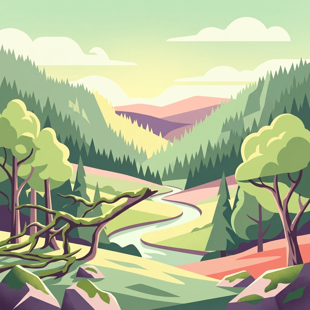
Germany's newest national park protecting the wild forests of the Hunsrück highlands
Hunsrück-Hochwald National Park
Hunsrück-Hochwald National Park is a protected area spanning the Hunsrück highlands in western Germany, straddling the states of Rhineland-Palatinate and Saarland. Established in March 2015, it is Germany's newest national park and the only one located in either of these two federal states. The park encompasses approximately 10,000 hectares of upland forests, moorlands, and former agricultural fields in the Idarwald and Schwarzwälder Hochwald mountain regions. The landscape is characterized by rolling forested ridges, hangmoors and wetlands, rocky block slopes from the last Ice Age, and steep river valleys cutting through the highlands. Erbeskopf, the highest point in the Hunsrück at 816 meters, lies within the park and serves as a popular recreation destination. The park represents a significant conservation effort to restore natural forest ecosystems in central Europe and create a connected wilderness corridor through Germany's densely populated landscape.
- Location
- Germany
- Park type
- National park
- Established
- 2015
- Area
- 100 km²
Location overview
Geographic distribution across Rhineland-Palatinate and Saarland
Mapping Hunsrück-Hochwald National Park and its German Regional Setting
Hunsrück-Hochwald National Park lies within Germany, spanning the regional territories of Rhineland-Palatinate and Saarland. Geographic records confirm its status as an interior, non-transboundary protected landmass.
- Countries
- Germany
- Regions
- Rhineland-Palatinate, Saarland
- Primary location
- Saarland
- Geographic setting
- Inland
Boundary and coordinates
Spatial limits and geographic extent across one hundred square kilometers
Geographic Boundaries and Mapped Area of Hunsrück-Hochwald National Park
Interactive boundary outlines offer clear spatial context for the Hunsrück-Hochwald National Park landscape. Derived measurements detail the calculated surface area, center coordinates, and physical span of the conservation zone.
- Boundary area
- 101.9 km²
- Boundary perimeter
- 161.2 km
- Northernmost point
- 49.7923° N
- Southernmost point
- 49.6053° N
- Easternmost point
- 7.2891° E
- Westernmost point
- 6.975° E
- Geographic centre
- 49.6935° N, 7.0933° E
- North–south span
- 20.8 km
- East–west span
- 22.7 km
Elevation and terrain
Mountain relief statistics and recorded natural features
Hunsrück-Hochwald National Park Terrain and Elevation Range
Recorded elevation metrics span from four hundred to seven hundred sixty-six meters across the mountain terrain. Linked feature cards provide names, types, and spatial relationships for recorded streams, peaks, and cliffs.
- Minimum elevation
- 400 m
- Maximum elevation
- 766 m
Selected named natural features
Streams
Götzenbach
Streams
Traunbach
Cliffs
Beilfels
Peaks
Springenkopf
784.2 m
Peaks
Gefällberg
Environmental setting
Temperate climate zones, dominant forest cover, and diverse mountain relief classifications
Hunsrück-Hochwald National Park Environmental Classifications and Physical Setting
Recorded landscape features, temperate habitat types, and seasonal classifications frame the physical setting of Hunsrück-Hochwald National Park. Structured categories connect individual environmental attributes to relevant atlas destinations across the protected terrain.
- Relief
- Mountain
- Climate
- Temperate
- Water
- Minor water
- Forest cover
- Dense forest cover
- Seasonality
- Seasonal
Landscape features
Mountains · Forest · Valleys · Cliffs · Bog · Rivers · Wetland
Habitat types
Temperate broadleaf forest · Montane forest · Peatland · Riverine habitat · Wetland
Park atlas
Map adjacent national parks and protected areas, comparing their geographic spread and conservation landscapes in Rhineland-Palatinate and Saarland.
Discover Other National Parks and Protected Areas Near Hunsrück-Hochwald National Park
Continue your park discovery by exploring other national parks and protected areas within the Hunsrück region and surrounding German states. This allows for direct geographic comparison, revealing the distinct forest ecosystems, moorlands, and river valleys that characterize central European conservation landscapes beyond Hunsrück-Hochwald National Park.
Nature reserveRhineland-Palatinate
Mapped location lies within the park boundary#1 closest
Northeast

Mörschieder Burr Nature Reserve: Geological Identity and Protected Forest Boundaries in Rhineland-Palatinate
A mapped quartzite summit within the Hunsrück forest landscape.
Spanning nearly 20 hectares, Mörschieder Burr preserves a rare expanse of vegetation-free scree slopes and Taunus quartzite outcrops in western Germany. The reserve acts as a geological anchor within the Idarwald forest, offering a concentrated look at the unique rocky terrain that defines this part of the Hunsrück-Hochwald National Park buffer zone.
- Area
- 0.197 km²
- Established
- 1940
National parkRheinland-Pfalz
Park boundaries overlap#2 closest
Northeast
Nationalpark Hunsrück-Hochwald: An Atlas and Geographic Overview of Protected Lands
Upland forest ecosystems and quartzite mountain terrain
The Hunsrück-Hochwald region showcases the transition of industrial-era forests toward near-natural wilderness. Its mapped territory integrates significant beech wood blocks with smaller wetland systems, reflecting a commitment to long-term biodiversity within the German uplands. Explore the structural composition and landscape features that define this protected zone.
- Area
- 101.2 km²
- Established
- 2015
- IUCN
- II
- Relief
- Mountain
Nature reserveSaarland
0.1 km away#3 closest
South
Wiesenkomplex bei Eisen Nature Reserve: Geography and Protected Habitat Mapping in Saarland
A mosaic of meadow and riparian stream ecosystems
Located in northern Saarland, Wiesenkomplex bei Eisen protects a mosaic of traditionally managed wet and semi-dry grasslands. The reserve, centered on the Krippbach stream, supports essential floodplain gallery forests and diverse meadow types. This mapping of four non-contiguous sites underscores the role of structured management in preserving remnant cultural landscape habitats within the region.
- Area
- 0.9 km²
- Established
- 2016
- IUCN
- IV
- Relief
- Lowland
Nature reserveRhineland-Palatinate
About 4.4 km away#4 closest
Northeast
Naturschutzgebiet Spring Nature Reserve: Protected Wetland and Headwater Landscape Geography
Mapped upland habitats in the Hunsrück, Rhineland-Palatinate
Naturschutzgebiet Spring protects a specialized wetland complex, featuring headwater streams and peatland formations within the Idarwald. This conservation area highlights the fragile, water-dependent ecology of the Hunsrück, providing a clear geographic view of preserved mire and swamp forest terrain within Rhineland-Palatinate.
- Area
- 0.74 km²
- Established
- 1988
- Relief
- Upland
- Scope
- Terrestrial
Nature reserveSaarland
6.7 km away#5 closest
Southwest
Wadrilltal Nature Reserve: Geographic Context and Mapped Protected Landscapes in Saarland
A protected stream valley habitat in the Hochwald region of Germany.
Wadrilltal represents a crucial nature reserve that shelters a near-natural stream valley system within the Saarland municipality of Wadern. The area preserves a structural diversity of wet meadows, montane mat-grass swards, and floodplain forests that form part of the Natura 2000 network. Gain geographic insight into the valley's slopes and river corridor, which extend across state boundaries to maintain significant regional biodiversity.
- Area
- 1.67 km²
- Established
- 2016
- Scope
- Terrestrial
- Water
- Major water bodies
Nature reserveSaarland
6.8 km away#6 closest
South
Südteil des Nohfeldener Rhyolith-Massivs: Saarland Nature Reserve and Volcanic Highland Terrain
Protected montane grasslands and rare bog woodland habitats.
This nature reserve protects 73 hectares of critical habitat within the Saarland uplands. Defined by the rhyolite massif geology between Losenberg and Leißberg, the protected area maintains rare montane mat-grass swards and fragile bryophyte communities. The site serves as a vital example of volcanic landscape conservation, highlighting the intersection of acidic silicate soils and specific ecological biodiversity in Germany.
- Area
- 0.73 km²
- Established
- 2017
- IUCN
- IV
Nature reserveSaarland
9.9 km away#7 closest
Southwest
Wiesenlandschaft bei Überroth: Nature Reserve Geography and Mapped Meadow Habitats
Essential protected land analysis in the Saarland region of Germany
Wiesenlandschaft bei Überroth functions as a core protected area for species-rich meadows in southwestern Germany. This detailed entry maps its two-part configuration and explains its role within the regional Saarland habitat network, providing a clear geographic perspective on its conservation status and semi-natural terrain characteristics.
- Area
- 2.87 km²
- Established
- 2015
- IUCN
- IV
- Relief
- Lowland
Protected areaRheinland-Pfalz
About 17 km away#8 closest
East
Truppenübungsplatz Baumholder: Protected Area and Geological Landmark in Rheinland-Pfalz
A vast military training ground and Natura 2000 ecological sanctuary.
Truppenübungsplatz Baumholder is a expansive protected landscape in Rheinland-Pfalz, functioning as both an active military installation and a preserved natural habitat. The terrain features a striking mix of dense deciduous forest, open firing corridors, and unusual volcanic geological remnants like rare lava flows and agate deposits. This site serves as a critical study in how restricted access shapes regional biodiversity.
- Area
- 116 km²
- Established
- 1937
- Relief
- Upland
- Access
- Highly restricted
MoriAtlas Explorer
Continue Atlas Exploration: Hunsrück-Hochwald National Park's Protected Landscape and Geography
To deepen your understanding of Hunsrück-Hochwald National Park, explore its detailed geographic profile within our atlas. Discover how its protected boundaries interact with the surrounding Saarland region and contribute to the mapped natural landscapes. MoriAtlas provides the structured geographic data to appreciate its context and connect it to other protected areas for comprehensive landscape discovery.
Browse next
Global natural geography
Explore related park routes
Explore MoriAtlas Global ParksBrowse All MoriAtlas ParksGlobal Park Map DiscoveryMoriAtlas: Browse All CountriesBrowse All MoriAtlas ContinentsNational Park Environment AtlasGrand Canyon National Park AtlasYellowstone National Park AtlasYosemite National Park Atlas and GeographySerengeti National Park AtlasGalápagos National Park Protected LandscapeBanff National Park Geography and AtlasKruger National Park Atlas EntryUluṟu-Kata Tjuṯa National Park AtlasExplore Uluru-Kata Tjuta National Park GeographyPlitvice Lakes National Park AtlasFiordland National Park Protected LandscapeGreat Smoky Mountains National Park AtlasAfghanistan National Parks and Protected AreasAlbania National Parks and Protected AreasAlgeria National Parks and Protected AreasAmerican Samoa National Parks and Protected AreasAndorra National Parks and Protected AreasAngola National Parks and Protected AreasAntarctica National Parks and Protected AreasAntigua and Barbuda Park List