
A comprehensive index of chalk cliff formations, forest ridges, and coastal water features.
Named Natural Features and Geological Landscapes of Jasmund National Park in Germany
This collection provides a structured geographic overview of named natural features associated with Jasmund National Park on the Rügen island coastline. Discover details regarding the park's distinct Cretaceous chalk formations, the Stubnitz forested ridge, and various wetland basins carved into the terrain since the last Ice Age. Browse the spatial distribution of these landmarks to understand the geological and environmental composition of this Baltic coastal landscape.
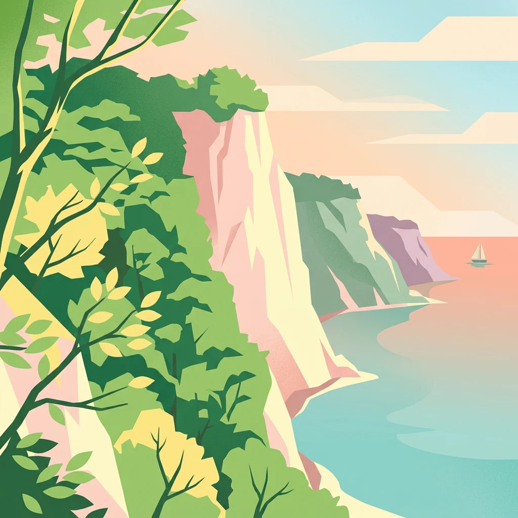
Mapped coastal formations and forested inland ridges within Jasmund National Park
Natural Features and Geological Landmarks of Jasmund National Park
Natural flow networks in primeval forest landscapes.
Streams
Review the collection of named streams identified across the Jasmund National Park terrain. This resource maps the hydrological pathways flowing from inland moors toward the dramatic Baltic coastline, highlighting their connection to the protected forest ridge and geological chalk formations found on Rügen island.
Coastal and Baltic Sea landscape identification
Bays
Trace the coastal contours of Jasmund National Park through this collection of identified bay features. These geographic markers provide a structured view of the interactions between Baltic waters and the park shoreline, offering insight into the geological processes shaping this specific northern German landscape.
Geographic atlas of coastal land features
Islands
Examine the distribution of discrete island features found within the coastal reach of Jasmund National Park. These land masses represent distinct points of interest for understanding the regional topography, shoreline erosion patterns, and the maritime geography of Germany's Baltic Sea coast.
Continue exploring Jasmund National Park's geographic and landscape context
Delve deeper into the mapped terrain and protected boundaries of Jasmund National Park. Understand how this iconic landscape fits within the regional geography of Mecklenburg-Vorpommern and contributes to the broader atlas of natural areas. Continue your discovery of protected lands with MoriAtlas, focusing on the unique geological and ecological significance of this German national park.