
Why Khorgo-Terkhiin Tsagaan Nuur National Park stands out
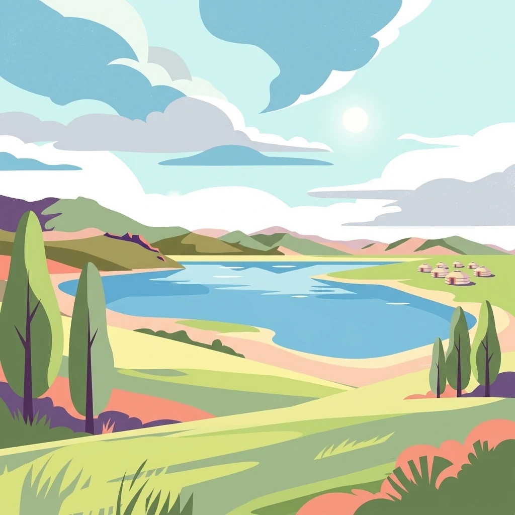
The park is best known for the pairing of the freshwater Terkhiin Tsagaan Lake with the Khorgo volcanic crater at its eastern edge, set against the forest and steppe mosaic of the Khangai Mountains. The lake itself, surrounded by marshes, rivers, and volcanic terrain, is one of the most photographed highland lakes in Mongolia, while the Khorgo crater offers a stark reminder of the region's volcanic geological past. Beyond its volcanic-lake signature, the park is appreciated for its mix of coniferous and birch forest, alpine pastures, and wetland margins that sustain rich birdlife and traditional herding landscapes. Visitors commonly associate it with sweeping panoramas over the lake from volcanic slopes, the contrast of dark crater walls and bright water, and the broader sense of open Khangai wilderness.
Khorgo-Terkhiin Tsagaan Nuur National Park history and protected-area timeline
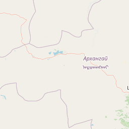
The history of the park is closely linked to the protection of the Terkhiin Tsagaan Lake basin and the surrounding Khangai landscape in Arkhangai Province. The freshwater lake and the nearby Khorgo volcano had long been recognized locally as defining landmarks of the Tariat area, and their combined setting eventually justified formal protection as a national park.
A major milestone in the park's modern conservation status came when the lake area was designated as a Ramsar wetland of international importance, reflecting recognition of the site's ecological value for waterbirds and highland wetland habitat. The lake has also become a subject of environmental monitoring: studies involving Mongolia's Ministry of Environment and Tourism and international partners such as the World Wide Fund for Nature have documented changes in the lake's surface area and surrounding wetlands, highlighting ongoing concerns about shoreline retreat, wetland loss, and expansion of sand and eroded lands.
Alongside this scientific and institutional history, the region carries cultural memory in the form of folk tales explaining the lake's origin. One such tale describes how the lake formed from a spring that a young herder forgot to seal, eventually flooding the surrounding land before his mother plugged it from a nearby mountain peak. While these stories are not part of formal park history, they reflect the long-standing human connection to the lake and the wider Tariat landscape.
Khorgo-Terkhiin Tsagaan Nuur National Park landscape and geographic character
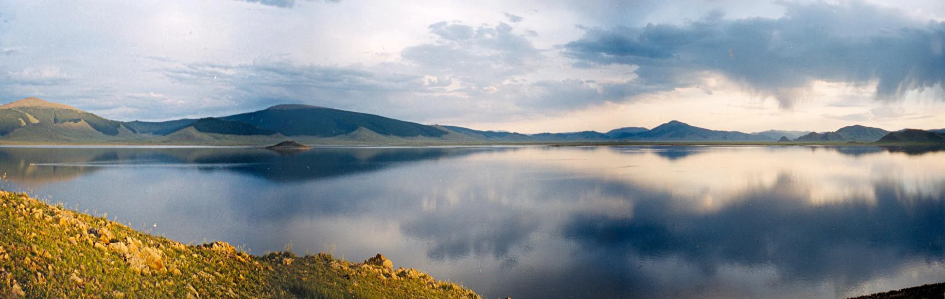
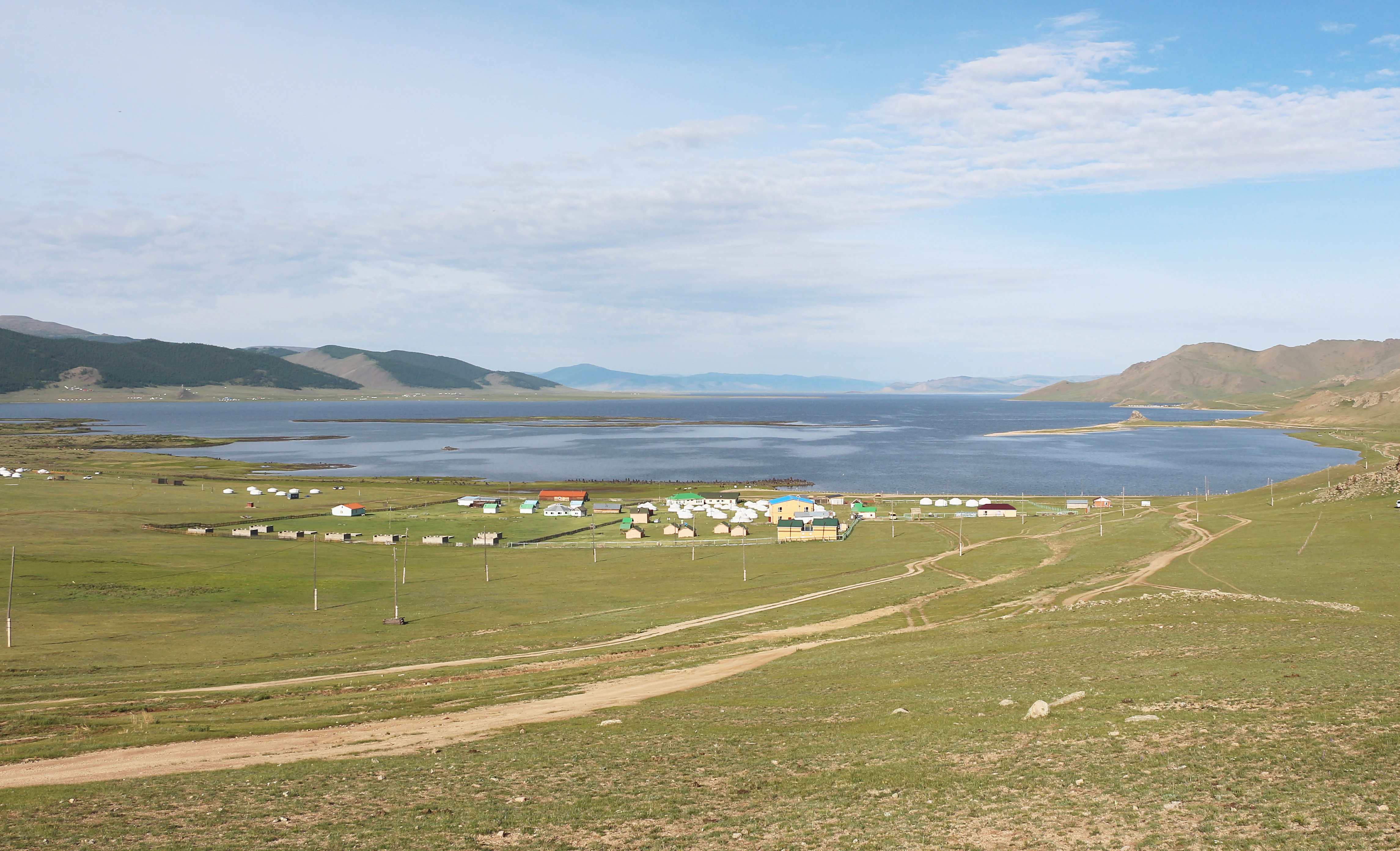
The landscape of Khorgo-Terkhiin Tsagaan Nuur National Park is defined by the meeting of volcanic geology, a highland freshwater lake, and the wooded slopes of the Khangai Mountains. The freshwater Terkhiin Tsagaan Lake anchors the scene, stretching about 16 kilometers in length with a fluctuating width between roughly 4 and 10 kilometers. The lake is relatively shallow, with average depths around 20 meters, and sits at an elevation of approximately 2,060 meters above sea level.
At the eastern end of the lake rises the Khorgo volcano, an extinct feature whose crater walls shape the park's most recognizable skyline. From the rim of Khorgo, panoramic views open out over the lake, the surrounding wetlands, and the rolling forested ridges of the Khangai range, creating one of the park's defining vistas. The volcanic terrain around the crater adds dark rock, ash-derived soils, and a sparse vegetation character that contrasts with the lake's bright water.
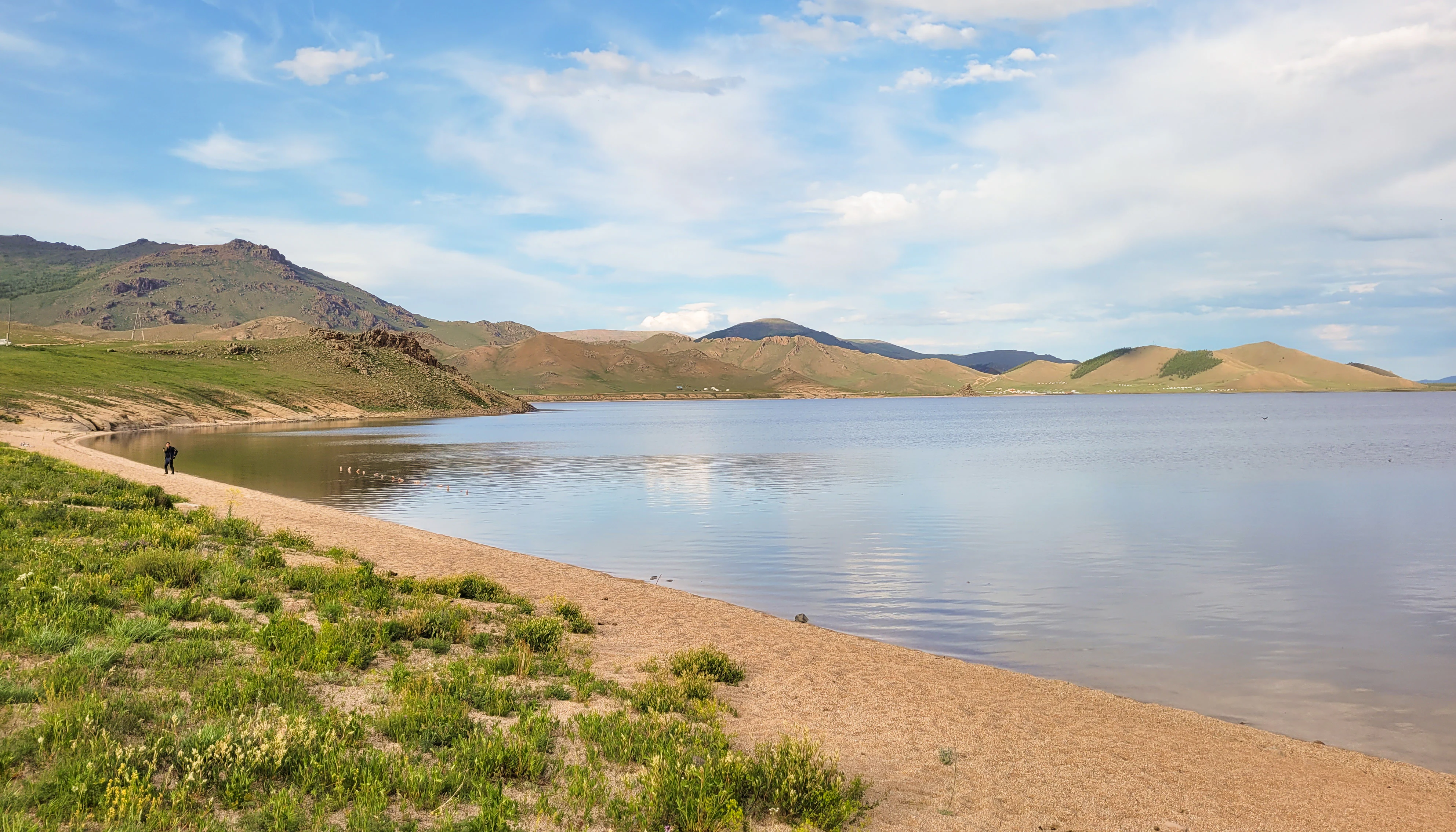
Around the lake shore, the landscape transitions through marshes, sandbanks, eroded bluffs, and meadow zones fed by small inflowing rivers. Researchers have documented a decline in the lake's area and a reduction in surrounding wetland area, with a corresponding increase in sandy and eroded land, suggesting that the shoreline is actively reshaping itself. Beyond the immediate lake basin, the park rises into mixed coniferous and birch forest, alpine pastures, and the broader forested ridges of the northern Khangai, producing the layered horizon that defines the park's scenery.
Khorgo-Terkhiin Tsagaan Nuur National Park ecosystems, habitats, and plant life
The nature of the park is shaped by the interplay of wetland, lake, forest, and volcanic habitats within the highland setting of the Khangai Mountains. The lake and its marshes create an important freshwater and wetland complex at more than 2,000 meters elevation, supporting aquatic vegetation, marshland birds, and seasonally inundated margins that shift as water levels change.
Surrounding the lake, slopes are clothed in mixed montane forest typical of the northern Khangai, where coniferous stands blend with birch and where open glades transition into alpine meadows at higher elevations. The volcanic zones around Khorgo support their own distinctive plant communities adapted to rocky substrates and thin soils, and add botanical interest beyond the more forested and meadow environments elsewhere in the park.
This combination of aquatic, wetland, forest, meadow, and volcanic habitats gives the park an unusually rich ecological profile for a single protected area in central Mongolia. The lake's Ramsar designation reflects the international recognition of these wetland and associated ecological values, while the surrounding forest and steppe matrix extends the habitat range well beyond the shoreline into the broader mountain landscape.
Khorgo-Terkhiin Tsagaan Nuur National Park wildlife and species highlights
Wildlife in Khorgo-Terkhiin Tsagaan Nuur National Park reflects the park's mix of lake, marsh, forest, and alpine environments. The lake and its wetlands attract waterbirds and shorebirds that depend on the highland freshwater habitat, which is one of the reasons the lake area has been recognized internationally as a Ramsar wetland site.
The forested slopes and meadows around the lake support the broader Khangai fauna of central Mongolia, including mammals and birds associated with mixed coniferous and birch forest interspersed with open pasture. The park's mosaic of habitats, ranging from lake edge and marsh to dense woodland and exposed volcanic ground, gives wildlife relatively diverse living conditions within a compact area.
Documenting specific species patterns is constrained by the limited detail in available sources, but the park's highland lake-and-forest setting places it clearly within the broader wildlife corridor of the Khangai Mountains, where forest and wetland species coexist with animals typical of the Mongolian mountain-steppe environment.
Khorgo-Terkhiin Tsagaan Nuur National Park conservation status and protection priorities
Conservation significance in the park is centered on the freshwater Terkhiin Tsagaan Lake and its surrounding wetlands, which are recognized internationally under the Ramsar Convention as a wetland of importance. This designation reflects the lake's role as a highland freshwater habitat supporting waterbirds, marshland communities, and the broader ecological integrity of the northern Khangai.
The park also has a wider conservation role as a protected mountain landscape that combines lake, wetland, forest, and volcanic ecosystems within a single management unit. By encompassing both Khorgo volcano and its crater environment and the adjacent Khangai forests and steppe, the park preserves geological features, montane vegetation, and freshwater habitat that would be difficult to protect in isolation.
At the same time, the park faces ongoing environmental pressures. Studies involving Mongolia's Ministry of Environment and Tourism and international partners have documented reductions in lake surface area, loss of surrounding wetlands, and expansion of sandy and eroded lands around the basin. These trends highlight the importance of continued monitoring and management, both for the Ramsar-listed wetland values and for the broader forest and steppe habitats that the park was established to protect.
Khorgo-Terkhiin Tsagaan Nuur National Park cultural meaning and human context
The park lies within a region with deep ties to traditional Mongolian herding culture. The Tariat area of Arkhangai Province, where the park is located, is part of a landscape long used by pastoralist communities, and herding life continues alongside the protected area. The wide pastures around the lake and the forested slopes of the Khangai both reflect this long-standing human relationship with the land.
Local folklore also shapes the cultural identity of the park. Folk tales about the origin of Terkhiin Tsagaan Lake have been passed down in the area, including one that explains the lake's formation through the story of a young herder who failed to seal a spring and his mother who finally blocked it from a nearby mountain. While these narratives are not official history, they illustrate how the lake is embedded in local memory and storytelling, adding a cultural dimension to the park's natural setting.
Top sights and standout views in Khorgo-Terkhiin Tsagaan Nuur National Park
The defining highlight of the park is the visual and ecological pairing of the highland Terkhiin Tsagaan Lake with the Khorgo volcanic crater at its eastern edge. Few protected areas in Mongolia combine a freshwater mountain lake of this scale with an accessible extinct volcano and views across the wider Khangai landscape, giving the park a layered and instantly recognizable profile.
Equally important is the park's ecological mosaic, which weaves together Ramsar-listed wetlands, montane coniferous and birch forest, open alpine pastures, and exposed volcanic terrain. This range of habitats, together with the cultural heritage of the Tariat area and the local folklore surrounding the lake, makes the park a compact but unusually diverse showcase of central Mongolia.
Best time to visit Khorgo-Terkhiin Tsagaan Nuur National Park
The park's highland lake landscape and Khangai setting are best appreciated during the warmer months, when the lake margins are accessible, the surrounding meadows and pastures come alive, and approaches to the Khorgo volcano rim are most practical. Late spring and summer are typically when waterfowl, wetland edges, and wildflower-rich meadows along the lake are most visibly active, and when long daylight hours open up extended views of the surrounding mountain ridges.
By contrast, winter brings severe cold to this elevation of roughly 2,000 meters, freezing the lake and blanketing the forest and volcanic slopes in snow. While atmospheric, winter conditions restrict access across the region. Shoulder seasons can offer quieter visits, but weather variability and the highland climate tend to favor late spring through early autumn as the most reliable window for experiencing the park's lake and volcano combination in full.