
Mori Atlas logo
Park earthquake history

Review recorded epicentre locations, seismic event magnitudes, and depths across the mountainous Snowy Mountains terrain.

Historical Earthquake Records and Recorded Seismic Activity in Kosciuszko National Park

This archival catalogue provides a structured overview of documented earthquakes that have occurred within proximity to the boundaries of Kosciuszko National Park. Users can analyze historical seismic data points, including event timing, epicentre distance from park landmarks, and recorded magnitude levels, derived from global geological records. The data serves to illustrate the documented seismic history of the surrounding New South Wales region without indicating future activity or geological hazard levels.

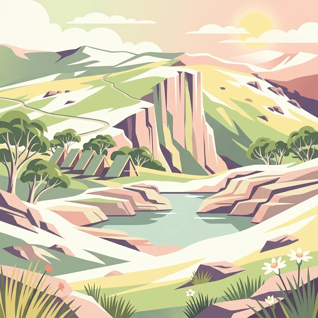
Illustrated mountain landscape featuring rocky cliffs, a lake, tents, trees, and flowers

Australia's alpine heartland, protecting the continent's highest peaks and unique subalpine ecosystems

Kosciuszko National Park

Kosciuszko National Park is a vast protected area spanning approximately 6,900 square kilometres in the southeastern corner of New South Wales, Australia. The park contains mainland Australia's highest peak, Mount Kosciuszko, standing at 2,228 metres above sea level, as well as the highest town in Australia, Cabramurra. This mountainous wilderness is characterized by an alpine climate that supports distinctive ecosystems found nowhere else on the continent, making it one of Australia's most significant natural heritage areas. The park forms part of a larger contiguous network of protected alpine areas including Victoria's Alpine National Park to the south and the Australian Capital Territory's Namadgi National Park to the northeast, creating a transboundary conservation corridor of national importance.

Location
Australia
Park type
National park
Established
1944
Area
6,900 km²
Highest point
2,228 m
Kosciuszko National Park protected landscape

Explore Kosciuszko National Park records across dates and distances

Study the historical earthquake catalogue around Kosciuszko National Park

Kosciuszko National Park’s earthquake catalogue measures the separation between reported epicentres and Australia’s highest protected terrain, rather than assigning every record to the park interior. Event time, magnitude, depth, locality, distance, and source access support historical comparison without treating alpine landforms as seismic causes, offering a current risk judgment, or anticipating future activity.

Sort by
Magnitude
Location

This page describes catalogued earthquakes associated with the park by epicentre location and distance. It does not establish causation, assess current danger, or predict future earthquakes.

No earthquake records match the current filters

Park atlas

Go beyond Kosciuszko National Park historical earthquake data

Explore more protected parks after Kosciuszko National Park

Beyond the Kosciuszko National Park earthquake record, an independent set of protected destinations offers continued discovery. The links do not imply common national-park status, terrain, geological context, seismic histories, closeness, hazards, risk, or equivalent evidence coverage.
National parkAustralia
Park boundaries overlap#1 closest

Southwest

Alpine National Park: Victoria's Expansive National Park in the Great Dividing Range

Mapping significant alpine, subalpine, and mountain wilderness landscapes.

Alpine National Park represents Victoria's largest protected area, safeguarding critical alpine and subalpine environments across the Great Dividing Range. This national park encompasses vast mountainous terrain, including Victoria's highest peaks like Mount Bogong, and the expansive Bogong High Plains known for their unique grassland and woodland ecosystems. The park's protected landscape offers rich opportunities for geographic discovery and understanding its place within Australia's significant mountain wilderness regions.

Area
6,474 km²
Established
1989
IUCN
II
Relief
Mountain
National parkAustralian Capital Territory
Park boundaries overlap#2 closest

Northeast

Namadgi National Park: Protected Landscape and Geographic Context in Australian Capital Territory

Explore the mapped boundaries and regional geography of this national park.

Namadgi National Park is a designated national park situated in the Australian Capital Territory. This dedicated page offers detailed information on its protected status, geographic features, and its role within the regional landscape atlas of Australia. Dive into the mapped terrain and understand the park's environmental significance and its contribution to the conservation landscape of the Australian Capital Territory.

Area
1,060.95 km²
Established
1984
IUCN
II
Relief
Mountain
Nature reserveNew South Wales
About 1.3 km away#3 closest

Northeast

Bimberi Nature Reserve: Geographic Overview and Protected Alpine Terrain in New South Wales

High-country forests and Brindabella Range summits

Bimberi Nature Reserve represents a strategic conservation anchor within the Australian Alps. Covering a rugged stretch of the Brindabella Range, this reserve features significant elevation transitions from sheltered eucalypt forests to exposed subalpine zones. It remains a key point of reference for understanding the connectedness of protected landscapes bridging New South Wales and the Australian Capital Territory.

Area
108.68 km²
Established
1985
IUCN
II
Relief
Mountain
National parkNew South Wales
3 km away#4 closest

Northeast

Brindabella National Park: A Protected Mountain Landscape in New South Wales' Australian Alps

Discover its mapped terrain and regional geographic context.

Brindabella National Park offers a unique perspective on the mountainous terrain of the Brindabella Range, forming a vital protected area within the Australian Alps. Located in New South Wales, its landscape features rugged ridgelines and diverse subalpine vegetation, recognized for its national environmental significance. This park serves as a key destination for understanding protected area geography and the mapped context of Australia's high country.

Area
184.54 km²
Established
1996
IUCN
II
Relief
Mountain
Nature reserveNew South Wales
About 6.8 km away#5 closest

Northeast

Scabby Range Nature Reserve: A Detailed Look at High Country Protected Landscapes and Terrain

Granite wilderness and subalpine ecology near the New South Wales border.

This reserve protects a dramatic 48 square kilometre block of the Kosciusko Uplands. Featuring boulder-strewn slopes, sphagnum-rich sedgelands, and tall montane eucalypt forests, the area represents a key node within the Australian Alps. Gain insight into the varied lithology and alpine flora that define this important nature reserve, from its granite pavements to the panoramic views at Mount Kelly.

Area
48.72 km²
Established
1982
IUCN
Ia
Relief
Mountain
National parkAustralia
About 13 km away#6 closest

Northeast

North East Island National Park: Australia's Protected Landscape Identity and Map Context

Discover mapped park boundaries and regional geographic setting.

North East Island National Park stands as a key protected area within Australia, offering users a detailed view of its geographic and landscape characteristics. This entry focuses on its designation as a national park, providing essential context for atlas-based exploration. Understand the specific mapped region and protected land attributes that contribute to its unique environmental geography, fostering a deeper appreciation for its place within the Australian continent.

National parkAustralia
14 km away#7 closest

South

Snowy River National Park: A Deep Gorge Protected Landscape in Victoria, AU

Explore mapped terrain and vital alpine wilderness boundaries.

Snowy River National Park showcases Victoria's rugged natural geography with its dramatic mountain terrain and the spectacular Little River Gorge, the state's deepest. This national park, classified as a wilderness area for much of its expanse, protects critical habitats and diverse ecosystems across its mapped boundaries. Its significance as a protected landscape within the Australian Alps National Parks makes it a key destination for understanding regional geography and conservation efforts.

Area
987 km²
Established
1979
IUCN
II
Relief
Mountain
Nature reserveAustralian Capital Territory
About 15 km away#8 closest

Northeast

Tidbinbilla Nature Reserve Protected Area: Landscape and Geographic Context

A vital conservation valley in the Australian Capital Territory

Tidbinbilla Nature Reserve functions as a significant ecological anchor on the fringe of the Australian Capital Territory. Defined by the contrast between deep valley basins and steep escarpments, this nature reserve integrates long-standing Aboriginal heritage with ongoing conservation programs for native wildlife in a rugged bushland environment.

Area
54.5 km²
Established
1971
IUCN
II
Relief
Mountain
MoriAtlas Explorer

Continue exploring Kosciuszko National Park's alpine terrain and mapped geography

Deepen your understanding of Kosciuszko National Park by examining its detailed geographic context and protected landscape features. Explore its role within Australia's alpine atlas, tracing the distribution of its unique terrain and conservation significance. This is your gateway to structured discovery of the continent's highest natural environments and their mapped boundaries.