
Mori Atlas logo
National parkKosciuszko National Park

Discover the mapped geography and unique ecosystems of this New South Wales national park.

Kosciuszko National Park: Australia's Highest Alpine Terrain and Protected Landscape

Kosciuszko National Park, situated in New South Wales, Australia, protects the continent's only true alpine environment and its highest peaks. This vast national park, spanning nearly 7,000 square kilometers, offers a unique opportunity to explore dramatic glacial landscapes, including Australia's highest point, Mount Kosciuszko. Through its detailed maps and structured geographic context, MoriAtlas allows for in-depth discovery of this vital protected area and its distinctive alpine terrain.

Alpine environmentsGlacial landscapesAustralian AlpsMountain hikingSki resortsEndemic wildlife
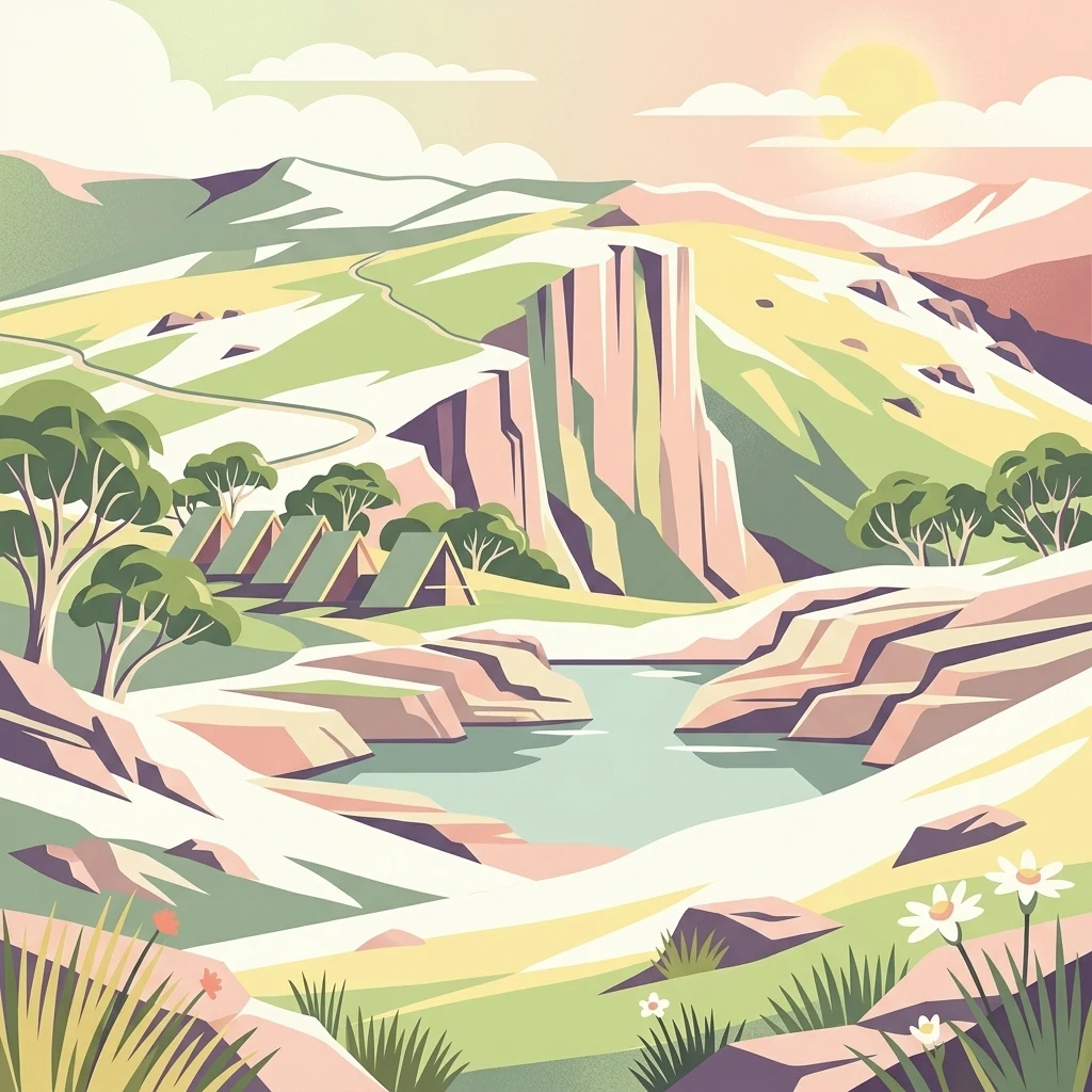
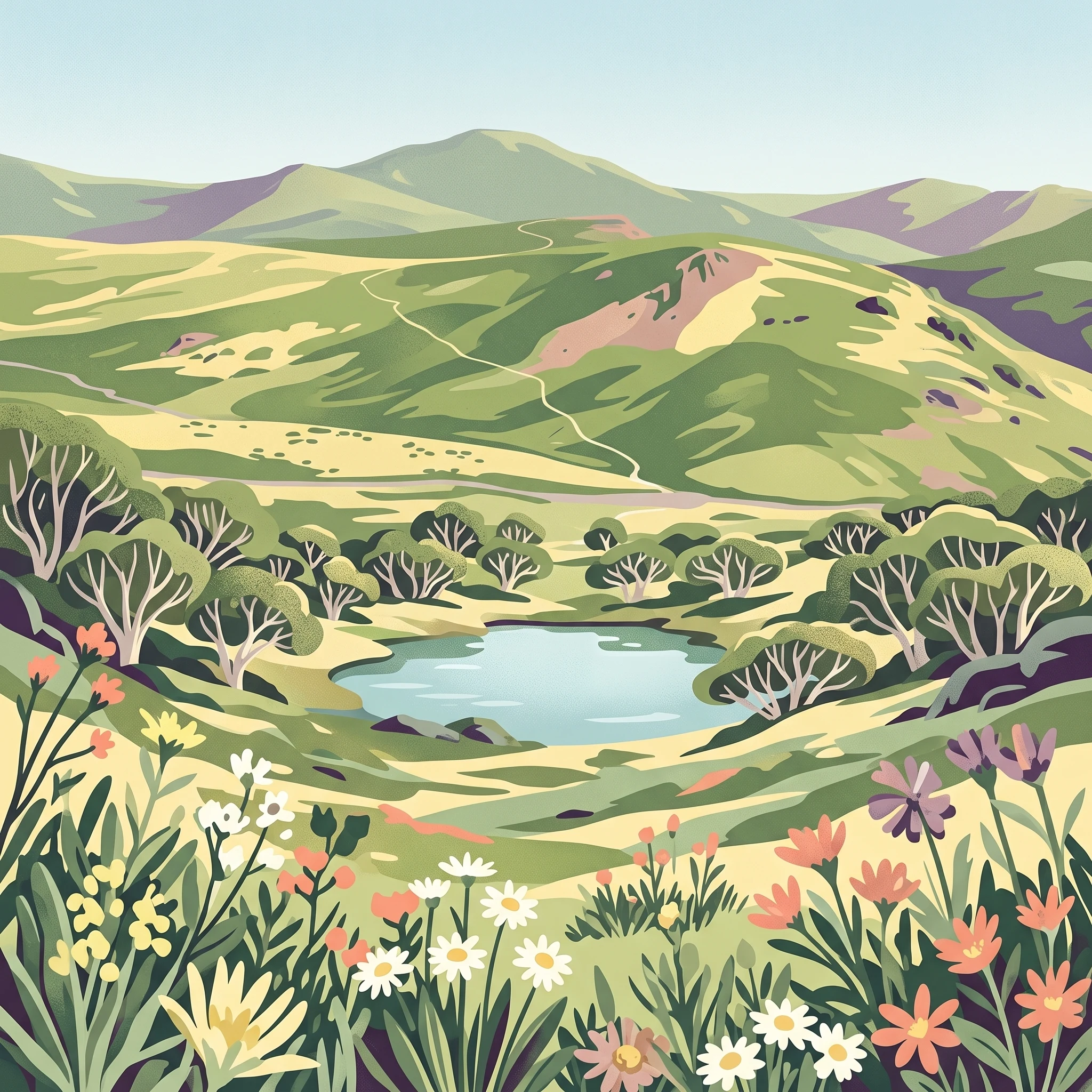
Illustrated mountain landscape featuring rocky cliffs, a lake, tents, trees, and flowers

Kosciuszko National Park

National park

Park overview

Structured park overview, official facts, and landscape profile for Kosciuszko National Park

Kosciuszko National Park park facts, protected area profile, and essential visitor context

Review the core facts for Kosciuszko National Park, including designation, size, terrain, visitor scale, habitats, and operating context in one park-focused overview.

About Kosciuszko National Park

Kosciuszko National Park represents one of Australia's most distinctive protected landscapes, preserving an environment that contrasts sharply with the predominantly flat and arid character of the continent. The park's high elevation and resulting cool climate support ecosystems found only in this limited alpine zone, making it a critical conservation area for Australia's unique biodiversity. The Snowy Mountains, for which the park is named, form the highest terrestrial terrain on mainland Australia, with Mount Kosciuszko serving as a symbolic and practical apex of the continent's natural landscape. Beyond its ecological significance, the park holds deep cultural meaning, having been used by Aboriginal peoples for thousands of years as a summer gathering place where multiple groups would converge to hunt bogong moths. This history of human connection to the high country predates European exploration, which began in 1835 and culminated in the naming of Mount Kosciuszko by Polish explorer Paweł Edmund Strzelecki in 1840 after the Polish military leader Tadeusz Kościuszko. The park's more recent history includes the infamous cattle-grazing era immortalized in Banjo Paterson's poem The Man From Snowy River, the gold rush at Kiandra that once supported a population of approximately 4,000 people and claims Australia's first skiing activities, and the monumental Snowy Mountains Scheme engineering project that reshaped much of the landscape between 1949 and 1974.

Quick facts and research context for Kosciuszko National Park

Kosciuszko National Park occupies a commanding position in southeastern Australia, protecting the headwaters of major river systems including the Snowy River, Murray River, Murrumbidgee River, and Gungarlin River. The park features the Snowy Mountains, a range of ancient folded and uplifted terrain that has been shaped by glacial processes during the Pleistocene epoch, leaving behind characteristic U-shaped valleys, cirques, moraines, and glacial lakes such as Lake Cootapatamba, the highest lake on the Australian mainland. The park was formally established in its current form in 1967, though earlier protection dates back to 1906, and it was added to the Australian National Heritage List in 2008 as part of the Australian Alps National Parks and Reserves.

Protection and recognition

Tracing the official terrestrial protection status and documented land management frameworks

Kosciuszko National Park Protection Status and Terrestrial Designation

Official records outline the documented terrestrial protection status and environmental management scope of Kosciuszko National Park. Analyzing regional boundary designations and official conservation classifications provides essential geographic context for studying protected alpine landscapes.

Protection details

Protection scope
Terrestrial
Transboundary protection
No
Park context

Deeper park guide and search-rich context for Kosciuszko National Park

Kosciuszko National Park history, landscape, wildlife, and travel context

Explore Kosciuszko National Park through its history, landscape character, ecosystems, wildlife, conservation priorities, cultural context, and seasonal travel timing in a structured park guide built for atlas discovery and search intent.

Why Kosciuszko National Park stands out

Kosciuszko National Park is best known for protecting Australia's alpine environment, encompassing the only true alpine ecosystems on the Australian continent. The park preserves the Main Range, a dramatic landscape of glacial valleys, tarns, and roche moutonnees that showcases the geological legacy of Pleistocene glaciation. It is home to critically endangered species including the northern corroboree frog and the mountain pygmy possum, both of which depend on the park's unique subalpine and alpine habitats. The park also contains Australia's premier alpine recreational infrastructure, including the ski resorts of Thredbo, Perisher, Selwyn snowfields, and Charlotte Pass, making it the primary destination for downhill skiing in Australia.
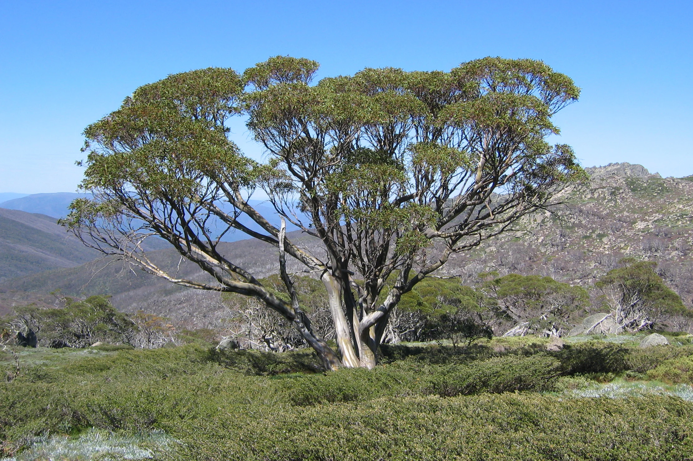
A Snow Gum tree with green foliage stands on a grassy hillside with mountain ranges in the background under a clear blue sky.
Snow Gum tree on the Dead Horse Gap Walk in Kosciuszko National Park.

Kosciuszko National Park history and protected-area timeline

The history of human interaction with the Kosciuszko region spans thousands of years of Aboriginal occupation and many decades of post-colonial development. Multiple Aboriginal groups from the southern part of New South Wales traditionally gathered in the Australian Alps Bioregion during summer months, making annual pilgrimages to the Bogong High Plains and Snowy Mountains to feast on bogong moths that congregated on the rocky outcrops. This seasonal gathering represented an important cultural and social tradition for the region's Indigenous peoples. European exploration of the area began in 1835, and in 1840, Polish explorer Paweł Edmund Strzelecki ascended the highest peak and renamed it in honor of Polish patriot Tadeusz Kościuszko. High-country stockmen soon followed, using the Snowy Mountains for summer grazing, a practice that left a legacy of mountain huts scattered across the area that remain important heritage features today. The gold rush at Kiandra in the 19th century brought a temporary population of approximately 4,000 people and supported fourteen hotels, and it was here that skiing in Australia is said to have begun around 1861. Formal protection of the area began with the National Chase Snowy Mountains on 5 December 1906, followed by proclamation of the Kosciuszko State Park in April 1944 under the Kosciuszko State Park Act. The area became Kosciuszko National Park in 1967, though the name remained misspelt as Kosciusko until 1997. The construction of the Snowy Mountains Scheme between 1949 and 1974 brought major changes to the area, including road improvements, dam construction, and tunnel boring, representing one of the world's largest engineering achievements and fundamentally altering the park's hydrology and landscape.

Kosciuszko National Park landscape and geographic character

The landscape of Kosciuszko National Park is defined by its position as the highest terrain on the Australian mainland, a dramatic contrast to the surrounding lowlands. The Snowy Mountains consist of ancient folded and uplifted sedimentary rocks that have been subsequently shaped by glacial processes during the Pleistocene epoch, leaving a distinctive alpine topography. The Main Range, which includes Mount Kosciuszko at 2,228 metres, features the classic glacial地貌 of U-shaped valleys, sharp-edged cirques, terminal and lateral moraines, and numerous tarn lakes formed in cirque basins. Notable glacial lakes include Lake Cootapatamba, formed by ice spilling from Mount Kosciuszko's southern flank and standing as Australia's highest lake, as well as Lake Albina, Club Lake, Blue Lake, and Hedley Tarn. Other significant peaks within the park include Gungartan, Mount Jagungal, Bimberi Peak, and Mount Townsend. The park's drainage feeds four major river systems: the Snowy River, Murray River, Murrumbidgee River, and Gungarlin River, all of which rise within the park's boundaries. The terrain ranges from rugged alpine ridges to forested valleys, with the landscape transitioning from exposed rocky heights to woodlands and forests at lower elevations.
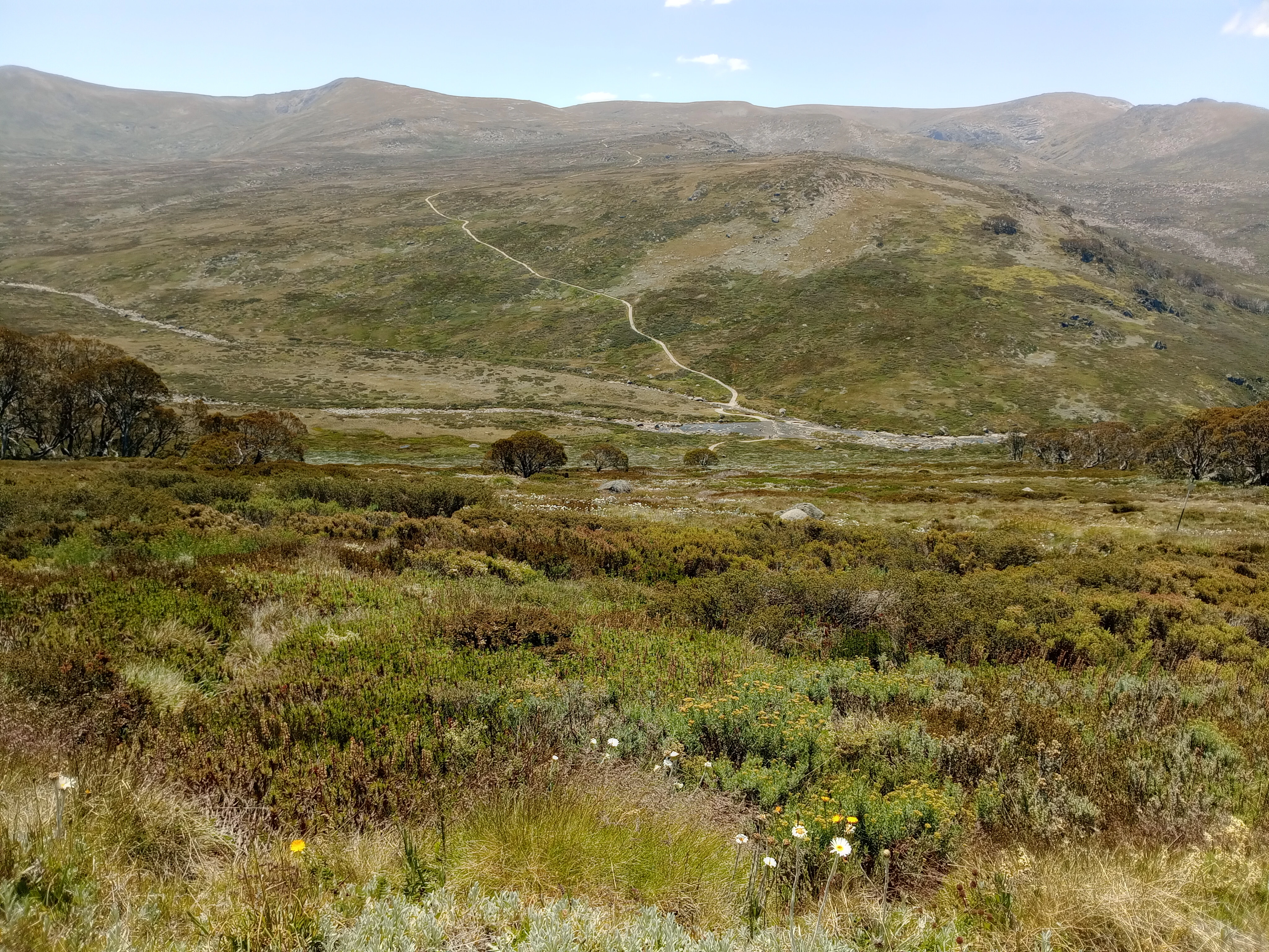
Wide view of a river valley in Kosciuszko National Park with mountains in the background and grassy terrain in the foreground
The Snowy River flowing through the mountainous landscape of Kosciuszko National Park

Kosciuszko National Park ecosystems, habitats, and plant life

Kosciuszko National Park protects one of Australia's most unusual and fragile ecosystems, the alpine and subalpine environments that exist only at high elevations in this part of the continent. The park covers a gradient of climatic regions that support several distinct ecosystems, from montane forests through subalpine woodlands to the true alpine zone above the tree line. The alpine area, which is most closely identified with the park's character, represents both the most fragile and smallest ecosystem within its boundaries. This zone comprises a complex mosaic of alpine heaths, herbfields, feldmarks, bogs, and fens, each supporting specialized plant communities adapted to the harsh high-altitude conditions. The windswept feldmark ecotope, characterized by low-growing plants that have been shaped by constant wind exposure, is endemic to the alpine region and covers a mere 300,000 square metres, making it one of the rarest vegetation types in Australia. Below the alpine zone, the park supports montane and wet sclerophyll forests dominated by the snow gum, with alpine ash and mountain gum forming significant stands in certain areas. The southern Byadbo wilderness area supports dry sclerophyll and wattle forests, representing a distinctly different ecosystem from the higher-altitude environments.
Snow-covered mountain range with rocky outcrops under a pale pink sky
Snow-covered mountain landscape under a soft pink sky

Kosciuszko National Park wildlife and species highlights

The wildlife of Kosciuszko National Park includes several species of high conservation significance that depend on the park's unique alpine and subalpine habitats. The park is home to one of Australia's most threatened species, the northern corroboree frog, whose distinctive yellow and black markings have made it an icon of the park's conservation value. The endangered mountain pygmy possum inhabits the high country, while a 2025 camera survey near Yarrangobilly Caves recorded a Leadbeater's possum, a species previously thought to be extinct in New South Wales, marking a significant conservation milestone. The long-footed potoroo was observed in the park for the first time in October 2025, further expanding the known range of this rare marsupial. The park also supports populations of the more common dusky antechinus. However, the park faces significant challenges from invasive species, particularly feral horses known as brumbies, whose population has grown dramatically from approximately 1,700 in 2008 to an estimated 17,000 by 2023 despite ongoing control efforts. These feral horses cause substantial environmental damage to the fragile alpine ecosystems, leading to ongoing public controversy over management approaches including culling, trapping, and rehoming programs.
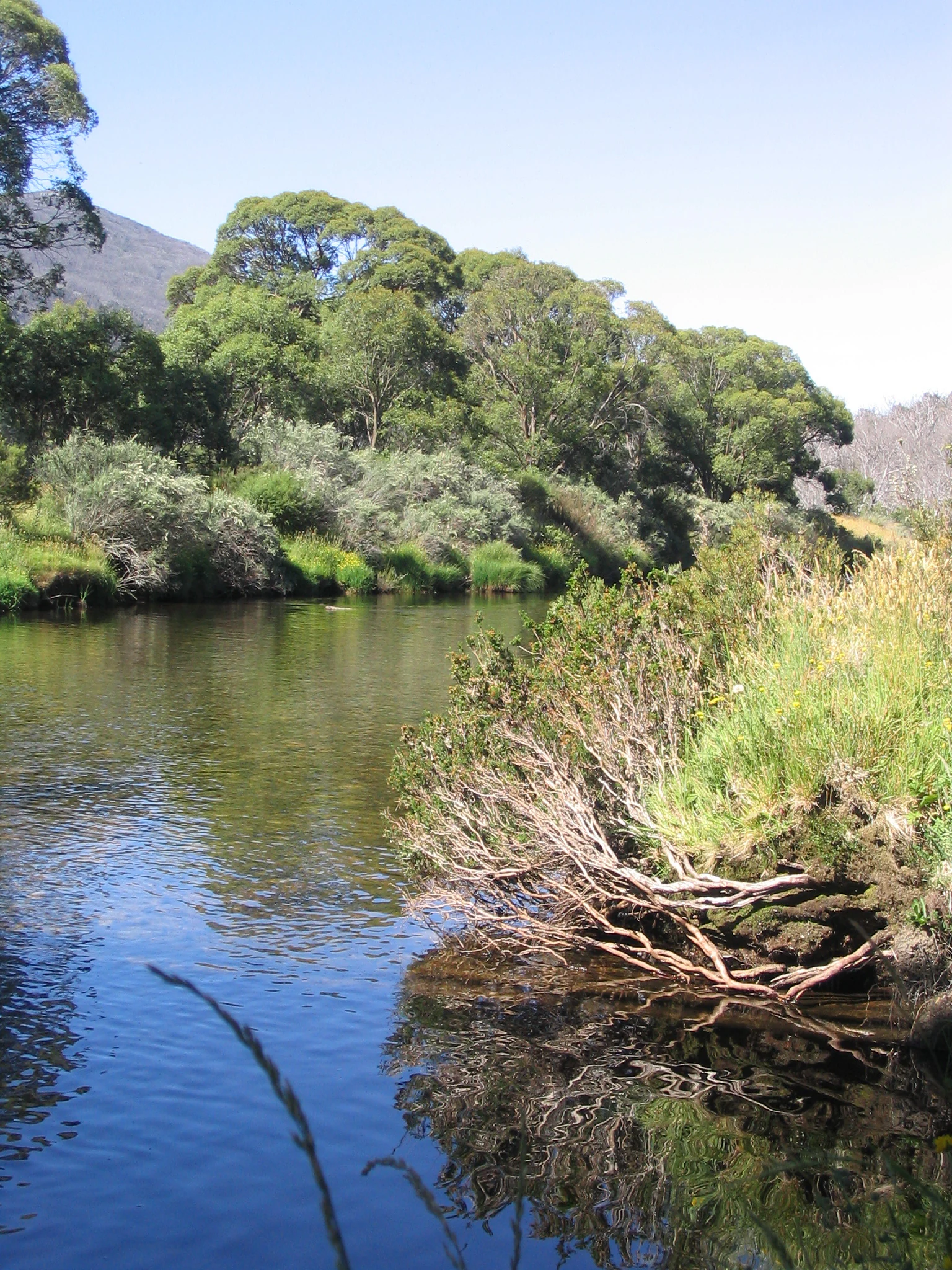
Calm river with riparian vegetation on the banks, reflecting in the water, surrounded by trees and hills
Calm river with riparian vegetation reflecting in the water

Kosciuszko National Park conservation status and protection priorities

Kosciuszko National Park holds significant conservation importance as the largest protected area in New South Wales and one of the most ecologically distinctive national parks in Australia. The park's inclusion on the Australian National Heritage List in 2008, as one of eleven areas constituting the Australian Alps National Parks and Reserves, recognizes its outstanding national significance for biodiversity conservation. The park protects critical habitat for multiple threatened species including the northern corroboree frog, mountain pygmy possum, Leadbeater's possum, and long-footed potoroo, each representing species of national conservation priority. However, the park faces significant conservation challenges, most notably from feral horse populations that have caused extensive damage to fragile alpine ecosystems, riparian areas, and native vegetation. The park's management has been the subject of federal intervention, with the federal environment minister writing to the NSW government in 2021 expressing concern about the state's failure to adequately protect the park's values. A wild horse management plan released in November 2021 aims to reduce horse numbers from the estimated 17,000 to 3,000 by June 2027. Nine separate wilderness zones have been identified in the latest management scheme, representing areas where development is prohibited and natural processes are allowed to continue with minimal human interference.

Kosciuszko National Park cultural meaning and human context

Kosciuszko National Park has a rich cultural history that spans both Aboriginal heritage and post-colonial development. For thousands of years, the high country was a traditional gathering place for multiple Aboriginal groups from the southern part of New South Wales, who would make annual summer pilgrimages to the Bogong High Plains and Snowy Mountains to hunt bogong moths. This practice represented an important cultural tradition that connected Indigenous peoples to the alpine landscape in ways that European observers would later document. The European history of the area includes exploration by Paweł Edmund Strzelecki in 1840, the subsequent era of high-country grazing that left a legacy of mountain huts still maintained today, the gold rush at Kiandra that briefly brought substantial population, and the development of Australia's skiing culture beginning around 1861. The construction of the Snowy Mountains Scheme between 1949 and 1974 represents a major chapter in the park's history, transforming the landscape through dam construction, tunnel building, and infrastructure development that remains visible today. Cabramurra, the highest town in Australia, was built during this construction period and remains within the park's boundaries.

Top sights and standout views in Kosciuszko National Park

Kosciuszko National Park offers several standout features that define its character and appeal. The opportunity to walk to Australia's highest point, Mount Kosciuszko, via either Charlotte Pass or the Thredbo chairlift provides visitors with a tangible connection to the continent's alpine landscape. The glacial landscape of the Main Range, with its cirques, moraines, tarns, and glacial valleys, represents geological heritage of national significance. The park's ski resorts, including Thredbo, Perisher, Selwyn snowfields, and Charlotte Pass, form the core of Australia's alpine winter recreation industry. The Australian Alps Walking Track, a 655-kilometre trail that crosses nearly the entire length of the park, offers one of Australia's most significant long-distance wilderness hiking experiences. Yarrangobilly Caves provides opportunities to explore the park's karst geology through guided tours, while Tin Mine Falls stands as Australia's highest waterfall. The mountain hut heritage, left by the cattle-grazing era, adds historical dimension to the landscape and remains an important part of the park's cultural fabric.

Best time to visit Kosciuszko National Park

Kosciuszko National Park offers distinct seasonal experiences that cater to different interests and activities. Winter, typically from June to October, transforms the park into Australia's premier ski destination, with the high country typically covered by metre-deep snow for up to four months of the year. The ski resorts operate during this period, offering downhill skiing, snowboarding, and other winter sports. Summer, from December to March, brings the opposite character, with the alpine environment accessible for bushwalking, wildlife observation, and exploration. The summer months are the only time when it is safe and permitted to walk to the summit of Mount Kosciuszko, with the route from Charlotte Pass being particularly popular. The shoulder seasons of autumn and spring offer transitional conditions that can provide rewarding experiences for those seeking fewer crowds, though weather conditions are more variable. The park's alpine climate means that conditions can change rapidly at any time of year, and visitors should be prepared for sudden weather shifts, particularly at higher elevations.
Monthly climate preview

Monthly temperature ranges and average precipitation patterns at representative elevations

Kosciuszko National Park Monthly Climate Normals and Weather Patterns

Long-term meteorological data at a representative elevation of 836 meters reveals a transition from sub-zero average winter minimums to warm summer maximums. Reviewing the complete historical database reveals exact weather-by-month patterns and average precipitation trends across the entire annual cycle.
Annual mean12 °C
4 °C20 °C
Jan20°
Feb20°
Mar17°
Apr12°
May
Jun
Jul
Aug
Sep
Oct11°
Nov15°
Dec17°
Warmest month
January

20.3 °C

Coolest month
July

4.2 °C

Wettest month
November

3.1 mm/day

Driest month
April

1.8 mm/day

Park location guide

Geography guide, regional context, and park location map for Kosciuszko National Park

Kosciuszko National Park park geography, regions, and map view in Australia

Understand where Kosciuszko National Park sits in Australia through a broader geographic reading of the surrounding landscape, nearby location context, and its mapped position within the national park landscape.

How Kosciuszko National Park fits into Australia

Australia is a constitutional monarchy and federal parliamentary democracy comprising six states and ten territories. With a population of nearly 28 million, it is one of the world's most urbanised countries, with most people concentrated on the eastern seaboard. The country has a high Human Development Index and is known for its cultural diversity, ancient Aboriginal heritage, and unique wildlife.

Wider geography shaping Kosciuszko National Park in Australia

Australia occupies the entire Australian continent, the island of Tasmania, and numerous smaller islands. It is the world's flattest and driest inhabited continent, featuring vast deserts in the interior (the Outback), tropical rainforests along the eastern coast, and a coastline bordering the Indian and Pacific Oceans.

Map view of Kosciuszko National Park

Use this park location map to pinpoint Kosciuszko National Park in Australia, understand its exact geographic position, and read its mapped placement within the surrounding landscape more clearly.

Pigeon | © OpenStreetMap contributors

Location context for Kosciuszko National Park

New South Wales
Natural feature types

Examine the Natural Landforms and Waterways of Kosciuszko National Park

Continue your geographic exploration by browsing the structured collection of peaks, glacial lakes, and river systems associated with Kosciuszko National Park. MoriAtlas provides detailed context for these significant alpine features and their placement within the broader Australian landscape.
Recorded earthquake history

Explore Historical Earthquake Records Associated with Kosciuszko National Park

Review documented seismic events that have occurred near the alpine landscape of Kosciuszko National Park. This historical catalogue, maintained by MoriAtlas, offers insights into past ground movement records through specific event data including epicentre distance, magnitude, and occurrence time.

Kosciuszko National Park Earthquake History

Catalogued events

6 events

Strongest magnitude

Magnitude 4.1

Most recent event

Apr 19, 2012

This history includes earthquakes recorded inside the park or within 50 km of its borders

Visualizing Australia's Unique Alpine Environments: Understanding Terrain and Protected-Area Character

Kosciuszko National Park Photos: Explore Alpine Landscapes and Glacial Scenery

Browse comprehensive imagery of Kosciuszko National Park to understand its distinctive alpine landscapes, glacial valleys, and high-country scenery. These visual resources provide essential context for tracing the park's unique ecosystems, diverse habitats, and significant protected-area environments.

A Snow Gum tree with green foliage stands on a grassy hillside with mountain ranges in the background under a clear blue sky.

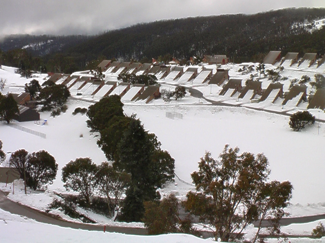
Snow-covered town with rows of houses, trees, and a winding road in a mountainous landscape

Wide view of a river valley in Kosciuszko National Park with mountains in the background and grassy terrain in the foreground

Snow-covered mountain range with rocky outcrops under a pale pink sky

Calm river with riparian vegetation on the banks, reflecting in the water, surrounded by trees and hills

Park atlas

Extend your alpine exploration, tracing the regional geography of protected areas and diverse landscapes adjacent to Kosciuszko National Park.

Discover Nearby National Parks and Alpine Protected Areas Beyond Kosciuszko National Park

Explore national parks and protected areas within the broader Australian Alps region, identifying sites with shared alpine ecosystems and glacial terrain comparable to Kosciuszko National Park. Review these adjacent conservation landscapes to understand their interconnected geography, compare their unique features, and plan your next protected area discovery.
National parkAustralia
Park boundaries overlap#1 closest

Southwest

Alpine National Park: Victoria's Expansive National Park in the Great Dividing Range

Mapping significant alpine, subalpine, and mountain wilderness landscapes.

Alpine National Park represents Victoria's largest protected area, safeguarding critical alpine and subalpine environments across the Great Dividing Range. This national park encompasses vast mountainous terrain, including Victoria's highest peaks like Mount Bogong, and the expansive Bogong High Plains known for their unique grassland and woodland ecosystems. The park's protected landscape offers rich opportunities for geographic discovery and understanding its place within Australia's significant mountain wilderness regions.

Area
6,474 km²
Established
1989
IUCN
II
Relief
Mountain
National parkAustralian Capital Territory
Park boundaries overlap#2 closest

Northeast

Namadgi National Park: Protected Landscape and Geographic Context in Australian Capital Territory

Explore the mapped boundaries and regional geography of this national park.

Namadgi National Park is a designated national park situated in the Australian Capital Territory. This dedicated page offers detailed information on its protected status, geographic features, and its role within the regional landscape atlas of Australia. Dive into the mapped terrain and understand the park's environmental significance and its contribution to the conservation landscape of the Australian Capital Territory.

Area
1,060.95 km²
Established
1984
IUCN
II
Relief
Mountain
Nature reserveNew South Wales
About 1.3 km away#3 closest

Northeast

Bimberi Nature Reserve: Geographic Overview and Protected Alpine Terrain in New South Wales

High-country forests and Brindabella Range summits

Bimberi Nature Reserve represents a strategic conservation anchor within the Australian Alps. Covering a rugged stretch of the Brindabella Range, this reserve features significant elevation transitions from sheltered eucalypt forests to exposed subalpine zones. It remains a key point of reference for understanding the connectedness of protected landscapes bridging New South Wales and the Australian Capital Territory.

Area
108.68 km²
Established
1985
IUCN
II
Relief
Mountain
National parkNew South Wales
3 km away#4 closest

Northeast

Brindabella National Park: A Protected Mountain Landscape in New South Wales' Australian Alps

Discover its mapped terrain and regional geographic context.

Brindabella National Park offers a unique perspective on the mountainous terrain of the Brindabella Range, forming a vital protected area within the Australian Alps. Located in New South Wales, its landscape features rugged ridgelines and diverse subalpine vegetation, recognized for its national environmental significance. This park serves as a key destination for understanding protected area geography and the mapped context of Australia's high country.

Area
184.54 km²
Established
1996
IUCN
II
Relief
Mountain
Nature reserveNew South Wales
About 6.8 km away#5 closest

Northeast

Scabby Range Nature Reserve: A Detailed Look at High Country Protected Landscapes and Terrain

Granite wilderness and subalpine ecology near the New South Wales border.

This reserve protects a dramatic 48 square kilometre block of the Kosciusko Uplands. Featuring boulder-strewn slopes, sphagnum-rich sedgelands, and tall montane eucalypt forests, the area represents a key node within the Australian Alps. Gain insight into the varied lithology and alpine flora that define this important nature reserve, from its granite pavements to the panoramic views at Mount Kelly.

Area
48.72 km²
Established
1982
IUCN
Ia
Relief
Mountain
National parkAustralia
About 13 km away#6 closest

Northeast

North East Island National Park: Australia's Protected Landscape Identity and Map Context

Discover mapped park boundaries and regional geographic setting.

North East Island National Park stands as a key protected area within Australia, offering users a detailed view of its geographic and landscape characteristics. This entry focuses on its designation as a national park, providing essential context for atlas-based exploration. Understand the specific mapped region and protected land attributes that contribute to its unique environmental geography, fostering a deeper appreciation for its place within the Australian continent.

National parkAustralia
14 km away#7 closest

South

Snowy River National Park: A Deep Gorge Protected Landscape in Victoria, AU

Explore mapped terrain and vital alpine wilderness boundaries.

Snowy River National Park showcases Victoria's rugged natural geography with its dramatic mountain terrain and the spectacular Little River Gorge, the state's deepest. This national park, classified as a wilderness area for much of its expanse, protects critical habitats and diverse ecosystems across its mapped boundaries. Its significance as a protected landscape within the Australian Alps National Parks makes it a key destination for understanding regional geography and conservation efforts.

Area
987 km²
Established
1979
IUCN
II
Relief
Mountain
Nature reserveAustralian Capital Territory
About 15 km away#8 closest

Northeast

Tidbinbilla Nature Reserve Protected Area: Landscape and Geographic Context

A vital conservation valley in the Australian Capital Territory

Tidbinbilla Nature Reserve functions as a significant ecological anchor on the fringe of the Australian Capital Territory. Defined by the contrast between deep valley basins and steep escarpments, this nature reserve integrates long-standing Aboriginal heritage with ongoing conservation programs for native wildlife in a rugged bushland environment.

Area
54.5 km²
Established
1971
IUCN
II
Relief
Mountain

Common questions about visiting, size, designation, and location context for Kosciuszko National Park

Kosciuszko National Park FAQs for park facts, access, geography, and protected area context

Find quick answers about Kosciuszko National Park, including protected-area facts, park geography, trail and visitor context, and how the park fits into its surrounding country and regional landscape.
MoriAtlas Explorer

Continue Your Protected Areas Search Across the Global Atlas

Deepen your exploration by continuing the structured search for national parks and protected areas worldwide. Utilize the comprehensive filtering capabilities to compare different conservation landscapes and refine your understanding of global park geography. Discover more about the distribution and characteristics of protected natural areas.

Global natural geography