
Tracing the river systems, granite outcrops, and geological formations across this protected landscape
Comprehensive Atlas of Natural Landscapes and Geographic Features in Kwiambal National Park
This geographic collection documents the diverse natural landmarks situated within and around the terrain of Kwiambal National Park in New South Wales. From the confluence of the Severn and Macintyre rivers to the weathered rock formations that define the park topography, this resource provides context for significant geological features and watercourses. Gain insights into the natural composition of this protected area by mapping individual sites and landforms within the regional New England environment.
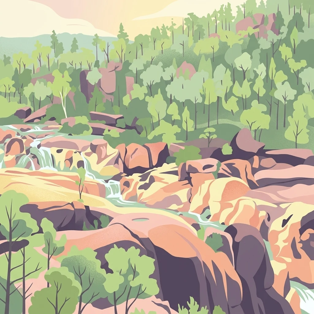
Browse the major waterfalls, river corridors, and granite outcrops across the conservation landscape
Geological Landmarks and River Systems of Kwiambal National Park
Mapping river segments and significant natural watercourses.
Rivers
Investigate the river channels flowing through Kwiambal National Park. This geographic summary focuses on the Severn and Macintyre rivers, detailing their pathways through the park and their influence on the local granite-dominated landscape, providing a structured overview of the area hydrological network.
Continue Exploring Kwiambal National Park's Mapped Landscapes and Regional Geography
Delve deeper into the atlas context of Kwiambal National Park to understand its place within New South Wales's protected areas and natural geography. Examine its distinctive terrain, the mapped boundaries of this national park, and the unique landscape character shaped by its rivers and granite geology. Continued exploration reveals the structured discovery value of Kwiambal National Park for understanding regional conservation and natural landscape patterns.