Mori Atlas logo
Park geography

Mapped boundaries, terrain features, and regional landscape context analysis

Comprehensive Geographic Profile of Lake Chelan National Recreation Area in Chelan County

Analyze the formal geographic boundaries of Lake Chelan National Recreation Area within the mountainous terrain of Chelan County. This data covers the 250.74 square kilometer area, detailing its composition of peaks, mountain passes, reservoirs, and complex stream systems across its protected land.

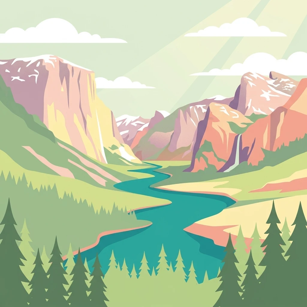
A colorful digital illustration featuring a winding river flowing through a deep mountain valley, with coniferous trees in the foreground and snowy peaks in the distance.

A remote recreation area around the deep waters of Lake Chelan and the Stehekin Valley at the heart of the North Cascades.

Lake Chelan National Recreation Area

Lake Chelan National Recreation Area is a protected area in north-central Washington State, managed by the National Park Service as part of the North Cascades National Park Service Complex. It covers roughly 62,000 acres of rugged mountain terrain that surrounds the upper end of Lake Chelan, one of the deepest and longest natural lakes in the United States, and the valley of the Stehekin River that flows from it.

Location
United States of America
Park type
Protected landscape
Established
1968
Area
250.7 km²
Explore Lake Chelan National Recreation Area Geography
Location overview

United States of America and Chelan County administrative positioning

Geographic Setting and Regional Context for Lake Chelan National Recreation Area

Lake Chelan National Recreation Area is located within the United States of America and Chelan County. Recorded geographic attributes confirm non-transboundary, inland, and terrestrial status within the regional network.
Countries
United States of America
Regions
Chelan County
Primary location
Chelan County
Geographic setting
Inland
Boundary and coordinates

Mapped perimeter geometry and derived area measurements

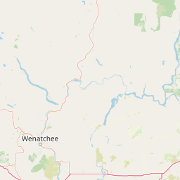
Lake Chelan National Recreation Area Boundary Map and Spatial Extent

Interactive boundary mapping reveals the spatial outline and geographic footprint of the protected area. Derived measurements provide supporting dimensional facts including area coverage and coordinate spans.
Pigeon | © OpenStreetMap contributors
Boundary area
254.4 km²
Boundary perimeter
91.9 km
Northernmost point
48.4513° N
Southernmost point
48.2457° N
Easternmost point
120.5453° W
Westernmost point
120.8547° W
Geographic centre
48.3539° N, 120.6837° W
North–south span
22.9 km
East–west span
22.9 km
Lake Chelan National Recreation Area
Terrain and natural features

Mountain relief classifications and recorded natural features within protected boundaries

Lake Chelan National Recreation Area Terrain and Named Natural Features

Mountain terrain classifications govern the protected landscape within Lake Chelan National Recreation Area. Linked feature cards supply names, types, measurements, and spatial relationships for recorded natural features.

Selected named natural features

Peaks

Rainbow Mountain

1,788 m

Streams

Rainbow Creek

Peaks

West Level Peak

2,372 m

Streams

Riddle Creek

Capes

Purple Point

340 m

Mountain saddles

War Creek Pass

Environmental setting

Analysis of mountain relief, major water bodies, valleys, and seasonal variations.

Lake Chelan National Recreation Area Environmental Settings and Landscape Classifications

Recorded classifications frame the physical setting through interconnected mountain relief, valley formations, and major water systems. Individual categories link directly to related atlas destinations for structured environmental exploration.
Relief
Mountain
Water
Major water bodies
Seasonality
Seasonal

Landscape features

Mountains · Valleys · Lakes · Rivers

Park atlas

Compare adjacent protected areas and surrounding mountain geography in the North Cascades

Parks Near Lake Chelan National Recreation Area and Related Mountain Protected Landscapes

Browse other parks near Lake Chelan National Recreation Area to evaluate connected mountain ranges, river valleys, and glacially carved terrain. Comparing adjacent protected areas reveals broader regional geography across the wider Pacific Northwest landscape.
A soft watercolor illustration depicting a range of layered mountain peaks with green slopes and snow-covered summits against a white background.
Wildlife reserveWashington
Park boundaries overlap#1 closest

Southwest

Glacier Peak Wilderness: Mapping the Volcanic and Glaciated Geography of Washington State

A detailed look at one of the most remote volcanic reserves in the Cascade Range.

Defined by the presence of an isolated stratovolcano and extensive glacial systems, Glacier Peak Wilderness represents a significant protected area within the Washington Cascades. This overview details the rugged landscape, from the deeply incised river valleys of the Chiwawa and Suiattle to the high-alpine rock and ice environment at the peak summit, providing essential geographic context for this roadless wilderness.

Area
2,290.75 km²
Established
1960
IUCN
Ib
Relief
Mountain
Wildlife reserveWashington
Park boundaries overlap#2 closest

East

Lake Chelan-Sawtooth Wilderness: Geographic Atlas and Protected Landscape Overview

North Cascades Wilderness in Washington State

Located in the north-central Cascade Range of Washington, this protected wilderness area contains 63 glacial lakes and extensive alpine terrain. The region offers a complex landscape of cirques, subalpine meadows, and forested valleys that connect directly to the larger North Cascades protected network. Use this atlas to examine its mountainous geography and defined conservation boundaries.

Area
619.4 km²
Established
1984
IUCN
Ib
Relief
Mountain
National parkWashington
Park boundaries overlap#3 closest

Northwest

North Cascades National Park: US National Park Protected Landscape and Geographic Context

Explore mapped boundaries and regional Washington geography.

Gain insight into North Cascades National Park, a vital US National Park located in Washington. This entry focuses on its protected land status, mapped geographic extent, and its role within the regional atlas. Users seeking to understand the park's landscape character, natural terrain, and its specific location in Washington will find this an essential point for detailed park geography exploration and protected area discovery.

Area
2,042.26 km²
Established
1968
IUCN
II
Visitors
16.5K annual
A watercolor painting of a mountain landscape with soft-colored rolling hills, a green forest line, and foreground vegetation on a white background.
Protected landscapeWashington
Park boundaries overlap#4 closest

Northeast

Okanogan, Wenatchee National Forest: A Comprehensive Look at Washington's Protected Mountain Landscapes

Mapping ecological gradients and wilderness boundaries across the eastern Cascade Range

Spanning from the moist coniferous forests of the western Cascades to the arid plateaus of the Okanogan, this massive national forest protects an unmatched diversity of terrain. Explore the intricate geography of river-carved valleys, glacial cirques, and remote wilderness areas that characterize this critical environmental corridor in the Pacific Northwest.

Area
6,066.33 km²
Established
1911
Visitors
397K annual
Relief
Mountain
A watercolor painting showing a panoramic view of mountain peaks in the distance above green foothills and plains.
Protected landscapeWashington
13 km away#5 closest

Southwest

Mount Baker, Snoqualmie National Forest: Mapped Geography and Protected Landscape Analysis

Exploratory atlas of Washington's primary Cascade Range wilderness

Delve into the structural geography of Mount Baker, Snoqualmie National Forest. This protected area corridor serves as a major ecological transition zone between the Puget Sound lowlands and the interior Cascades, characterized by extensive glaciers, wild river systems, and iconic stratovolcanoes that define the regional landscape of Washington state.

Area
6,978 km²
Established
1974
Relief
Mountain
Climate
Alpine
A soft watercolor painting of a calm river or lake flowing through a green meadow with a forest and mountain range in the background.
Protected landscapeWashington
28 km away#6 closest

Northwest

Ross Lake National Recreation Area: A Glacial Reservoir Landscape in Washington

Mapping the Skagit River and North Cascades alpine corridor

Located in the heart of Washington, Ross Lake National Recreation Area preserves a unique landscape of connected reservoirs and deep, glacier-cut valleys. This protected area acts as a vital geographic link within the North Cascades, offering access to high-altitude peaks, riverine forests, and the distinct turquoise waters of Diablo Lake.

Area
475.81 km²
Established
1968
IUCN
V
Visitors
998K annual
A horizontal watercolor painting depicting a soft-focus mountain landscape with rolling green meadows, patches of coniferous forest, and distant pale mountains under a white sky.
State or regional parkBritish Columbia
61 km away#7 closest

North

E. C. Manning Provincial Park: A Comprehensive Geographic Atlas and Protected Area Overview

Mountainous terrain and ecological transitions in southern British Columbia

Spanning the cross section of the Canadian Cascades, E. C. Manning Provincial Park preserves a high-elevation landscape of wildflowers, glacial valleys, and mountain ridges. The protected area links temperate coastal rainforests with the arid interior, providing a study in regional hydrology and subalpine ecology defined by the Hozameen Range and the northern reaches of the Pacific Crest Trail.

Area
836.71 km²
Established
1941
IUCN
II
Visitors
1.1M annual
A horizontal watercolor painting showing a range of purple-tinted mountain peaks above a green forest and a light pinkish shoreline.
Wildlife reserveWashington
72 km away#8 closest

Northwest

Mount Baker Wilderness: Mapped Volcanic Peaks and Glacial Geography in Washington State

Protected wilderness boundaries in the Northern Cascades

Mount Baker Wilderness encompasses a vast mountain landscape characterized by an active stratovolcano and significant permanent snowfields. The terrain features a vertical gradient from dense west side conifer forests to exposed alpine summits, creating a distinct ecological corridor connected to neighboring protected areas in the Pacific Northwest.

Area
485.58 km²
Established
1984
IUCN
Ib
Relief
Mountain
MoriAtlas Explorer

Continue Exploring the Protected Landscapes of Lake Chelan National Recreation Area

Dive into the detailed mapping and terrain data of Lake Chelan National Recreation Area. Use MoriAtlas to trace the boundaries, study the glacial landscape of the Stehekin Valley, and understand the unique geographic setting of this North Cascades protected area.