
Mori Atlas logo
Park earthquake history

Explore historical seismic datasets mapped by distance from this protected inland peninsula.

Recorded Earthquake History and Seismic Records near Land Between the Lakes National Recreation Area

Review a structured compilation of earthquake records associated by proximity to the geography of Land Between the Lakes National Recreation Area. The data provides a clear historical view of recorded seismic activity in the surrounding Ohio River Valley region. Each entry includes event date, magnitude, depth, and epicentre location, offering a consistent reference for examining regional seismic history.

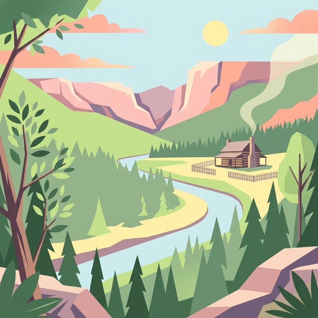
A graphic illustration depicting a log cabin near a winding river in a mountain valley under a sunlit sky.

A sprawling inland peninsula between two great reservoirs in Kentucky and Tennessee.

Land Between the Lakes National Recreation Area

Land Between the Lakes National Recreation Area is a large protected inland peninsula in the southeastern United States, situated in western Kentucky and northwestern Tennessee between Kentucky Lake and Lake Barkley. The narrow land bridge between the Tennessee and Cumberland rivers has been known locally as Between the Rivers since the 1830s and 1840s. Designated as a national recreation area by President John F. Kennedy in 1963, the area was developed for public enjoyment through a partnership that combined flood control, hydroelectric power, and outdoor recreation. Managed originally by the Tennessee Valley Authority and later transferred to the United States Forest Service, it covers roughly 171,000 acres of forest, grassland, river shoreline, and managed wildlife habitat. Today, Land Between the Lakes is recognized for its mixed hardwood forests, restored native prairies, and large inland lake ecosystems, as well as living history demonstrations and one of the most visited free-roaming bison and elk enclosures in the eastern United States. It draws an estimated two million visitors each year for outdoor recreation, environmental education, and historical interpretation.

Location
United States of America
Park type
Protected landscape
Established
1963
Area
693.1 km²
Land Between the Lakes National Recreation Area Atlas

Explore Land Between the Lakes National Recreation Area records

Study earthquakes near Land Between the Lakes National Recreation Area

Land Between the Lakes National Recreation Area earthquake records are organised by epicentre and site distance, without asserting that all occurred within it. Study dates, magnitudes, depths, places, distance figures, and sources for historical understanding without presenting lake or recreation-area features as seismic causes, a present threat assessment, or a forecast.

Sort by
Magnitude
Location

This page describes catalogued earthquakes associated with the park by epicentre location and distance. It does not establish causation, assess current danger, or predict future earthquakes.

No earthquake records match the current filters

Park atlas

Go beyond Land Between the Lakes National Recreation Area earthquake data

Explore other parks after Land Between the Lakes National Recreation Area

The Land Between the Lakes National Recreation Area earthquake page leads onward to other atlas destinations after its inland peninsula, lake, river, oak-hickory forest, prairie, and wildlife-restoration context. A linked place is not necessarily another recreation area or a spatial, ecological, or seismic analogue; its geology, earthquake evidence, source detail, hazards, and current risk stand independently.
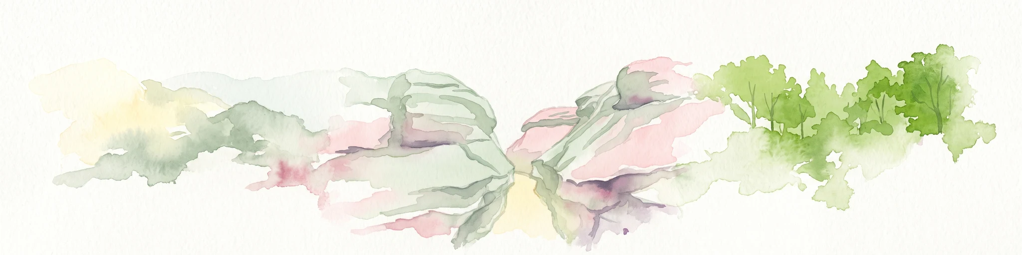
Watercolor painting of a wide, rolling landscape featuring layered sandstone bluffs and green forested hills against a light background.
Protected landscapeIllinois
28 km away#1 closest

Northwest

Shawnee National Forest: Exploring the Protected Landscapes of the Illinois Shawnee Hills

Mapped sandstone formations and glacial terrain in southern Illinois

Spanning nearly 289,000 hectares, Shawnee National Forest is the largest body of public land in Illinois. The area is defined by its dramatic sandstone bluffs, deep canyons, and seven designated wilderness areas that provide a rare rugged topography within the American Midwest. Explore the complex geography of this forest, from its glacial-sculpted river watersheds to its diverse hardwood habitats and historic reforestation sites.

Area
2,017.83 km²
Established
1933
Relief
Upland
Climate
Temperate
Wildlife reserveIllinois
61 km away#2 closest

Northwest

Lusk Creek Wilderness: An Atlas of Protected Sandstone Canyons and Forests in Southern Illinois

Mapping rugged wilderness terrain and forest ecological recovery.

Lusk Creek Wilderness serves as a key protected landscape in southern Illinois, featuring extensive sandstone canyon systems and dense hardwood woodland. This area offers a unique look at the geological and forested character of the Shawnee region, documented through its boundaries, elevation changes, and natural landmarks. Use this geographic entry to examine the rugged, roadless character of the state largest wilderness designation and its place within the wider regional drainage system.

Area
25.47 km²
Established
1990
IUCN
Ib
Relief
Upland
Watercolor painting of rock formations and surrounding green trees on a plain white background.
Wildlife reserveIllinois
64 km away#3 closest

North

Garden of the Gods Wilderness: A Protected Sandstone Plateau in Southern Illinois

Explore geologic boundaries, sandstone hoodoos, and forested wilderness terrain

Garden of the Gods Wilderness represents a critical protected area within the Shawnee National Forest, notable for its unglaciated sandstone geography. This 3,318-acre wilderness offers an intimate view of ancient carboniferous rock formations, including prominent hoodoos and clifftop overlooks that provide expansive sightlines across the southern Illinois landscape.

Area
13.43 km²
Established
1990
Relief
Upland
Climate
Temperate
Watercolor painting of a soft, hazy forest landscape with rolling hills in the background and soft green trees in the foreground.
Protected landscapeIndiana
154 km away#4 closest

Northeast

Hoosier National Forest: Geographic Overview of Indiana Protected Wilderness and Woodlands

Mapping the karst terrain and forest corridors of southern Indiana.

Hoosier National Forest defines the landscape of southern Indiana with its rolling unglaciated hills and ridge systems. Discover the mapped geography of this protected area, including its rare prairie-like barrens, sandstone cliff formations, and the designated Charles C. Deam Wilderness. This overview focuses on the spatial extent and diverse topographic features that distinguish this forest from the surrounding Midwest plains.

Area
826.78 km²
Established
1961
Relief
Upland
Climate
Temperate
National parkKentucky
158 km away#5 closest

East

Mammoth Cave National Park: Kentucky's Premier National Park for Protected Landscape Exploration

Explore its mapped boundaries and regional geography.

Mammoth Cave National Park in Kentucky presents a profound opportunity for protected-area discovery, anchored by its status as a national park. This resource focuses on providing a factual atlas-style view of its landscape, emphasizing its geographic context within the region and the extent of its protected boundaries. Users can engage with detailed information designed for structured exploration, understanding the park not just as a location but as a key component of natural landscape data.

Area
210.46 km²
Established
1941
IUCN
II
Visitors
747K annual
National parkMissouri
173 km away#6 closest

West

Mark Twain National Forest: Geography and Protected Area Atlas of Southern Missouri

Mapping the karst terrain and ancient ridges of the Ozark Highlands

Mark Twain National Forest represents a sprawling conservation area within the Missouri Ozark Highlands. Its geography is defined by volcanic mountain remnants, rocky glades, and significant river corridors like the Eleven Point National Scenic River. This record provides insight into the forest's complex mapped boundaries, seven designated wilderness areas, and the distinctive karst geology that characterizes this unique American landscape.

Area
6,037.3 km²
Established
1939
Relief
Upland
Climate
Temperate
Wildlife reserveMissouri
About 177 km away#7 closest

West

Mingo Wilderness: Missouri Protected Wildlife Reserve and Wetland Geography

Primitive bottomland forest and swamp landscape

Mingo Wilderness encompasses 8,000 acres of protected bottomland hardwood forest and cypress-tupelo swamp in southeastern Missouri. As a federally designated wilderness area embedded within a national wildlife refuge, it provides a quiet, primitive habitat characterized by slow-moving creek corridors and varied seasonal wetlands.

Area
32 km²
Established
1976
IUCN
Ib
Relief
Lowland
Watercolor painting of a green landscape featuring rolling hills, small clusters of trees, and a calm water feature in the foreground.
Protected landscapeMississippi
184 km away#8 closest

South

Holly Springs National Forest: Geographic Context and Protected Landscape Boundaries

Northern Mississippi forest topography and ecological restoration geography.

Holly Springs National Forest occupies the rolling hills of north central Mississippi, where federal land tracts form a complex mosaic with private holdings. This protected area features diverse forest types including loblolly and shortleaf pine uplands alongside bottomland hardwood swamps. It serves as an essential watershed region, hosting multiple reservoirs like Chewalla Lake and Puskus Lake while protecting the headwaters of the Wolf River.

Area
629.94 km²
Established
1936
Relief
Upland
Climate
Subtropical
MoriAtlas Explorer

Explore the Mapped Landscapes of Land Between the Lakes National Recreation Area

Continue your geographic discovery of the United States by analyzing the unique peninsula formation and watershed boundaries of this protected area. This detailed overview from MoriAtlas clarifies the terrain, forest distribution, and hydrologic context that define this significant recreation landscape.