
A comprehensive index of volcanic peaks, coastal wetlands, and arctic shorelines
Natural Features and Geographic Landmarks of Lofotodden National Park in Northern Norway
This collection inventories the distinct natural formations associated with Lofotodden National Park, documenting the rugged Lofotenveggen mountain range and surrounding marine environments. Users can browse categorized terrain, including steep granite summits, ancient volcanic ridges, coastal bogs, and sand dunes that define this dramatic North Atlantic landscape. These records provide geographic context for the complex topography extending across Moskenesøya and its protected coastal waters.
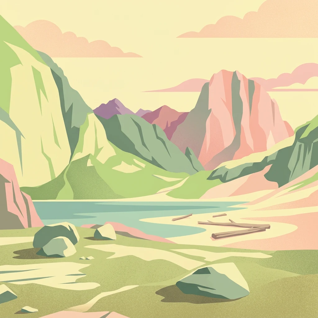
Mapping the rugged granite peaks, coastal bays, and Arctic marine boundaries of Moskenesøya island
Major Geographic Features and Landforms of Lofotodden National Park
Arctic terrain and mountain summit data
Peaks
Explore the named summits and high points located within Lofotodden National Park. This resource details the geographic peaks found along the Lofotenveggen range, helping to interpret the vertical landscape and topographic character of this northern coastal protected area.
Coastal landforms and Arctic marine terrain
Islands
Review the archipelago of islands and islets linked to the boundary of Lofotodden National Park. This resource focuses on the spatial arrangement of coastal landmasses and their relationship to the park's iconic granite and volcanic mountain ridges.
Continue Exploring Lofotodden National Park's Geographic Atlas Context
Deepen your understanding of Lofotodden National Park by examining its precise mapped boundaries and intricate terrain within the Nordland region. MoriAtlas provides the geographic and protected-area framework necessary for comprehensive atlas exploration, moving beyond mere identification to reveal the park's place in Norway's remarkable natural landscape.