Mori Atlas logo
Park earthquake history

A structured repository of historical seismic events associated with the geography of this California landscape

Los Padres National Forest Earthquake History and Recorded Seismic Activity Catalogue

This historical catalogue provides a detailed collection of earthquake records associated with Los Padres National Forest based on epicentre distance. Users can browse specific seismic events recorded within the region to examine magnitude, depth, and spatial proximity to the forest boundaries. The collection offers a transparent view of recorded geological history to support geographic and regional study of this mountainous landscape.

A stylized vector illustration of a fire lookout tower atop a rocky cliff next to a waterfall, surrounded by trees and mountains under a soft-colored sky.

A vast coastal-to-inland forest spanning the mountains of central and southern California.

Los Padres National Forest

Los Padres National Forest is a large United States national forest that stretches across the mountainous spine of central and southern California, following most of the coastline from Ventura northward to Monterey and extending well inland. With terrain that runs from sea level along the Big Sur coast up to heights above 8,800 feet, the forest encompasses a remarkable range of environments, from redwood groves and foggy coastal canyons to arid chaparral ridges, oak woodlands, and high pine country around Mount Pinos. Nearly half of the forest's area lies within designated wilderness, including the historic San Rafael Wilderness and the Ventana Wilderness, giving it an unusually undeveloped character for a region adjacent to major California population centers. Beyond its scenic and recreational value, Los Padres is widely recognized for protecting habitat for the California condor, old-growth conifer forests, and the headwaters of numerous important California rivers.

Location
United States of America
Park type
Protected landscape
Established
1936
Area
7,700 km²
Highest point
2,697 m
Los Padres National Forest Protected Area Atlas

Compare Los Padres National Forest events by date and distance

Explore historical earthquake records around Los Padres National Forest

Los Padres National Forest’s earthquake records are associated by reported epicentre position and measured forest distance, not presumed occurrence within its long mountain boundary. The catalogue offers time, magnitude, depth, locality, separation, and citations for historical context without attributing seismic cause to forest conditions, defining present hazard, or forecasting activity.

Sort by
Magnitude
Location

This page describes catalogued earthquakes associated with the park by epicentre location and distance. It does not establish causation, assess current danger, or predict future earthquakes.

No earthquake records match the current filters

Park atlas

Continue atlas discovery after the Los Padres earthquake catalogue

Open new park routes beyond Los Padres National Forest

After exploring Los Padres National Forest’s earthquake entries, use this separate section to reach other protected destinations. Their inclusion establishes no shared forest designation, landscape, geography, geology, distance, earthquake material, seismic significance, hazard conditions, risk, or equivalent documentation, and they are not additional event records.
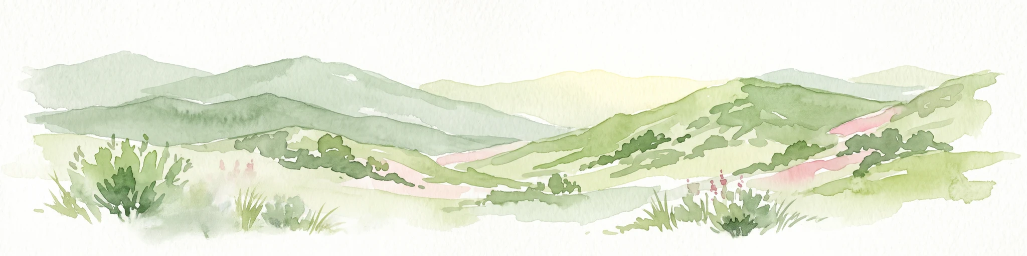
A soft, painterly watercolor illustration depicting layered green mountain ridges and rolling foothills under a bright, open sky.
Protected landscapeCalifornia
Park boundaries overlap#1 closest

East

Angeles National Forest: Mapped Protected Landscapes and Geographic Terrain in California

Mountain wilderness and Mediterranean watershed geography

Spanning the San Gabriel and Sierra Pelona ranges, Angeles National Forest serves as a dramatic ecological transition zone. This analysis of its protected landscape focuses on the interaction between steep canyons, high peaks, and the distinct chaparral and conifer zones that shape California geography.

Area
2,652.26 km²
Established
1908
Relief
Mountain
Climate
Mediterranean
Wildlife reserveSan Luis Obispo County
Park boundaries overlap#2 closest

Northwest

Garcia Wilderness: Mapped Boundaries and Geographic Identity in San Luis Obispo County

Studying the Santa Lucia Range ridge and forest ecosystems

Located in San Luis Obispo County, Garcia Wilderness encompasses 14,100 acres of protected coastal mountains. Its topography features a prominent east-west ridge system that dictates local drainage patterns and vegetative shifts, ranging from lower-slope chaparral to dense oak forests. This area represents a vital segment of the federal conservation efforts established to protect the central California landscape.

Area
57 km²
Established
1992
IUCN
Ib
Relief
Mountain
Watercolor painting of a mountain range with a winding stream, small trees, and grassy foreground on a white background.
Wildlife reserveCalifornia
Mapped location lies within the park boundary#3 closest

East

Matilija Wilderness: A High Elevation Protected Landscape in the Santa Ynez Mountains

Rugged canyon geography and critical California condor habitat

Spanning from deep canyon bottoms to the high rocky ridges of Monte Arido, Matilija Wilderness represents a significant protected unit within California. The area encompasses a dense network of riparian habitats along Matilija Creek, forming a vital ecological corridor for wildlife and preserving the rugged terrain of the southern Santa Ynez Mountains.

Area
118.2 km²
Established
1992
IUCN
Ib
Relief
Mountain
A soft watercolor painting of a shoreline with gentle green hills and pale purple water against a white background.
Marine protected areaCalifornia
Park boundaries overlap#4 closest

Northwest

Monterey Bay National Marine Sanctuary: California Marine Protected Area and Coastal Atlas

Mapping deep submarine canyons and expansive Pacific coastal ecosystems.

Monterey Bay National Marine Sanctuary represents one of the most biologically significant marine protected areas in the United States. Spanning 276 miles of California shoreline, the sanctuary encompasses varied aquatic terrain including towering kelp forests, rocky reefs, and the massive Monterey Submarine Canyon. This protected marine landscape serves as a crucial region for oceanic research and environmental conservation.

Area
15,780 km²
Established
1992
Relief
Mixed relief
Climate
Mediterranean
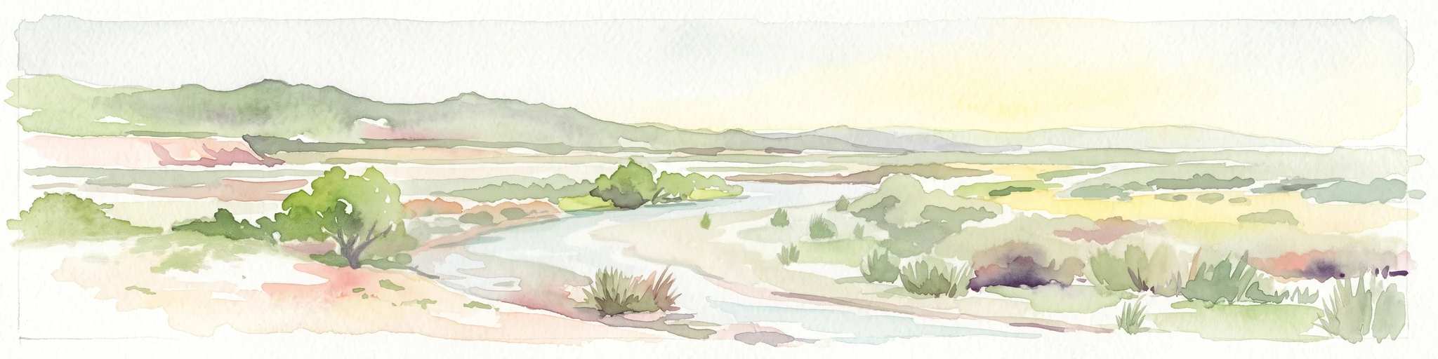
A horizontal watercolor painting depicting a wide, winding river flowing through a coastal valley with rolling hills in the background and sparse green vegetation in the foreground.
Marine protected areaCalifornia
2.3 km away#5 closest

West

Chumash Heritage National Marine Sanctuary: California Marine Protected Area Atlas

Mapping coastal transition zones and submarine seafloor features

Spanning over 4,500 square miles off the Central Coast of California, the Chumash Heritage National Marine Sanctuary represents a critical ecological intersection between northern and southern marine species. The sanctuary includes dramatic underwater terrain like Arguello Canyon, Rodriguez Seamount, and the Santa Lucia Bank, creating a complex habitat that sustains kelp forests and diverse maritime resources.

Area
11,770 km²
Established
2024
IUCN
V
Relief
Mixed relief
National parkCalifornia
21 km away#6 closest

Southeast

Channel Islands National Park: A Protected Landscape within California's Geography

Explore its unique mapped terrain and protected area context.

Channel Islands National Park stands as a key protected area, providing critical insight into California's unique geographic features and natural landscapes. This entry focuses on the park's identity as a protected entity, detailing its mapped boundaries and the surrounding regional geography. It offers an atlas-level view, essential for understanding the park's contribution to the broader landscape context of the United States and its conservation importance.

Area
1,009.94 km²
Established
1980
IUCN
II
Visitors
323.2K annual
National parkCalifornia
21 km away#7 closest

Northwest

Pinnacles National Park: California National Park Geographic Discovery and Map Context

Explore unique protected landscape and regional terrain.

Delve into the protected landscape of Pinnacles National Park, a significant natural area within California. This page offers an atlas-centered view of its unique geological formations and mapped terrain, providing essential context for understanding its geographic identity. Explore the park's specific landscape characteristics and its relation to the broader regional geography and protected areas.

Area
107.67 km²
Established
2013
IUCN
II
Visitors
275K annual
A watercolor illustration of rolling green hills, a small shoreline, and patches of grass against a white background.
Protected landscapeCalifornia
27 km away#8 closest

Southeast

Santa Monica Mountains National Recreation Area: Protected Landscape and Regional Geography

Exploring the ecological and cultural tapestry of Southern California's coastal mountains.

Santa Monica Mountains National Recreation Area comprises a complex array of parks and preserves that protect the unique Mediterranean climate of Southern California. The terrain showcases rugged ridgelines, deeply carved canyons, and vital coastal habitats. As a significant urban protected area, it offers an essential look at how biodiversity, human history, and regional geography coexist within one of the most populated zones in the United States.

Area
638 km²
Established
1978
IUCN
V
Visitors
795.2K annual
MoriAtlas Explorer

Explore the Detailed Geography and Protected Landscapes of Los Padres National Forest

Investigate the complex terrain and mapped wilderness boundaries of Los Padres National Forest. MoriAtlas provides a structured view of this California landscape, highlighting its elevation range from coastal beaches to high alpine peaks and its vital role as a regional watershed.