
Why Löserbecken von Weiterstadt stands out
The Löserbecken von Weiterstadt is best known as a compact amphibian refuge inside the Upper Rhine Plain, built from the remains of a former sand quarry. Its combination of rainwater-fed pools, dry sandy slopes, and pioneer vegetation has created breeding and shelter conditions for species such as the crested newt, garlic toad, spring frog, natterjack toad, and sand lizard. It is also recognized as a small but meaningful Natura 2000 site that demonstrates how post-industrial sandy landscapes can regain ecological value.
Löserbecken von Weiterstadt history and protected-area timeline
The Löserbecken von Weiterstadt originated as an active sand quarry in the 1970s, when sand was extracted from what is now the basin floor. After commercial use ended, the quarry gradually filled with rainwater and the exposed slopes began to revegetate, transforming the site from an industrial hole into a biologically interesting landscape of ponds, dry grassland, and pioneer woodland.
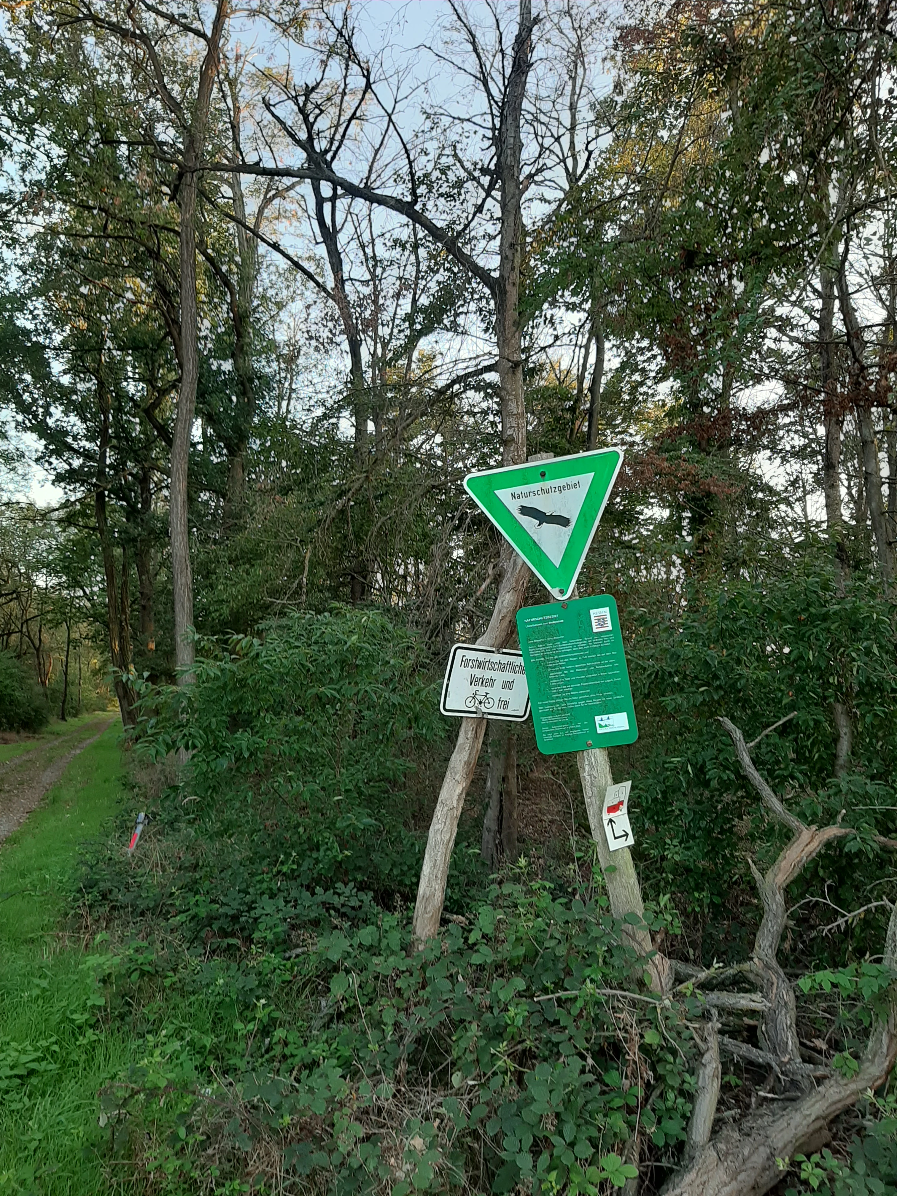
In parallel with this natural recovery, the area gained formal protection. On 18 July 1983 the Hessian authorities designated the Löserbecken as a nature reserve (Naturschutzgebiet) under designation number 1432007, covering about 8 hectares. The boundaries of the reserve were extended on 20 September 1993, refining the protected area to roughly 8.03 hectares. A further major change came with the construction of the nearby Weiterstadt correctional facility: the original facility was built in 1987, demolished by controlled explosion in 1990, and rebuilt shortly after, with compensatory habitat works creating additional amphibian pools as part of the wider project.
In 2008 the area was formally incorporated into the European Natura 2000 network as the FFH site 6117-311 (DE6117311), aligning the national nature reserve designation with EU-level habitat protection. Since then the Löserbecken has been managed as both a German Naturschutzgebiet and a community-interest habitat site, with successive stages of vegetation succession continuing alongside targeted conservation measures for amphibians and dry-grassland flora.
Löserbecken von Weiterstadt landscape and geographic character
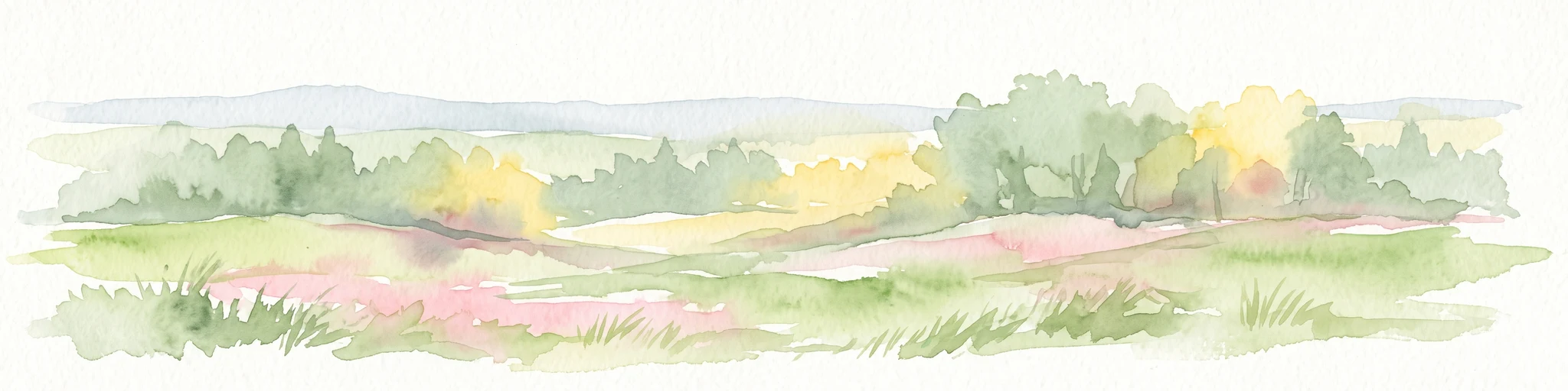
The Löserbecken von Weiterstadt occupies a small artificial basin in the Upper Rhine Plain, narrowly contained within the lowland Griesheim-Weiterstädter Sand. Its terrain is defined by the contrast between a sunken, moist quarry floor and the higher, drier rims and slopes that were left behind when sand was extracted in the 1970s. The result is a compact bowl-shaped landscape in which sandy exposures, dwarf vegetation, and open water coexist within a few hundred meters.
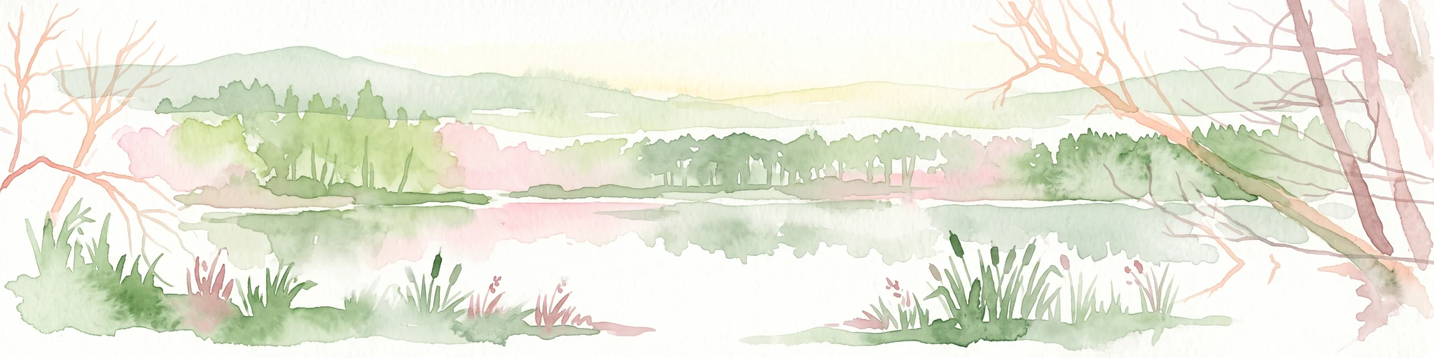
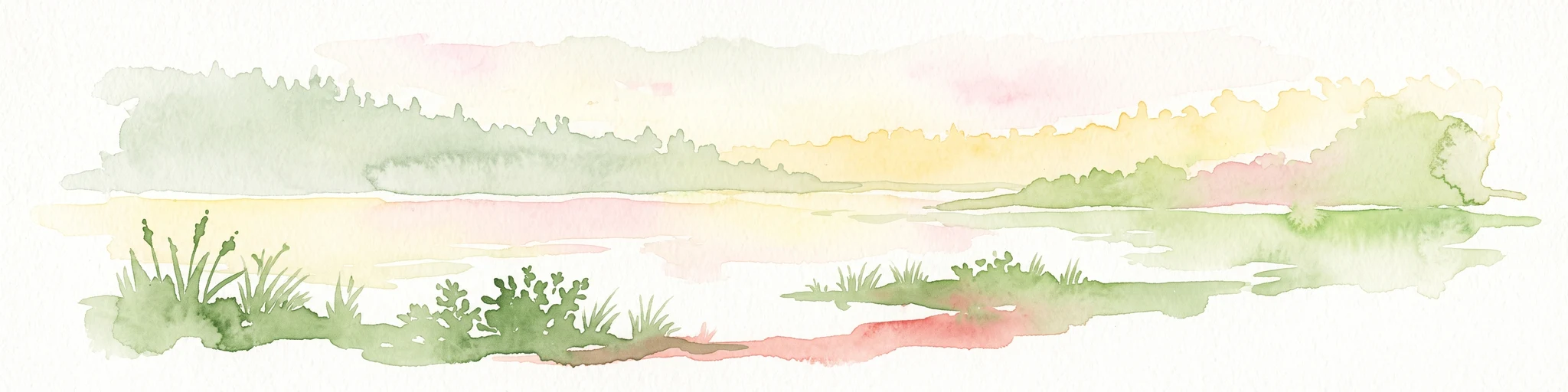
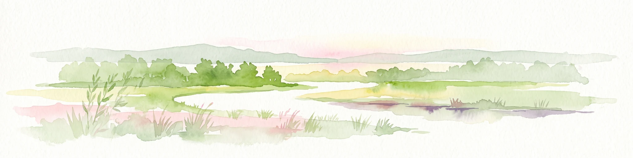
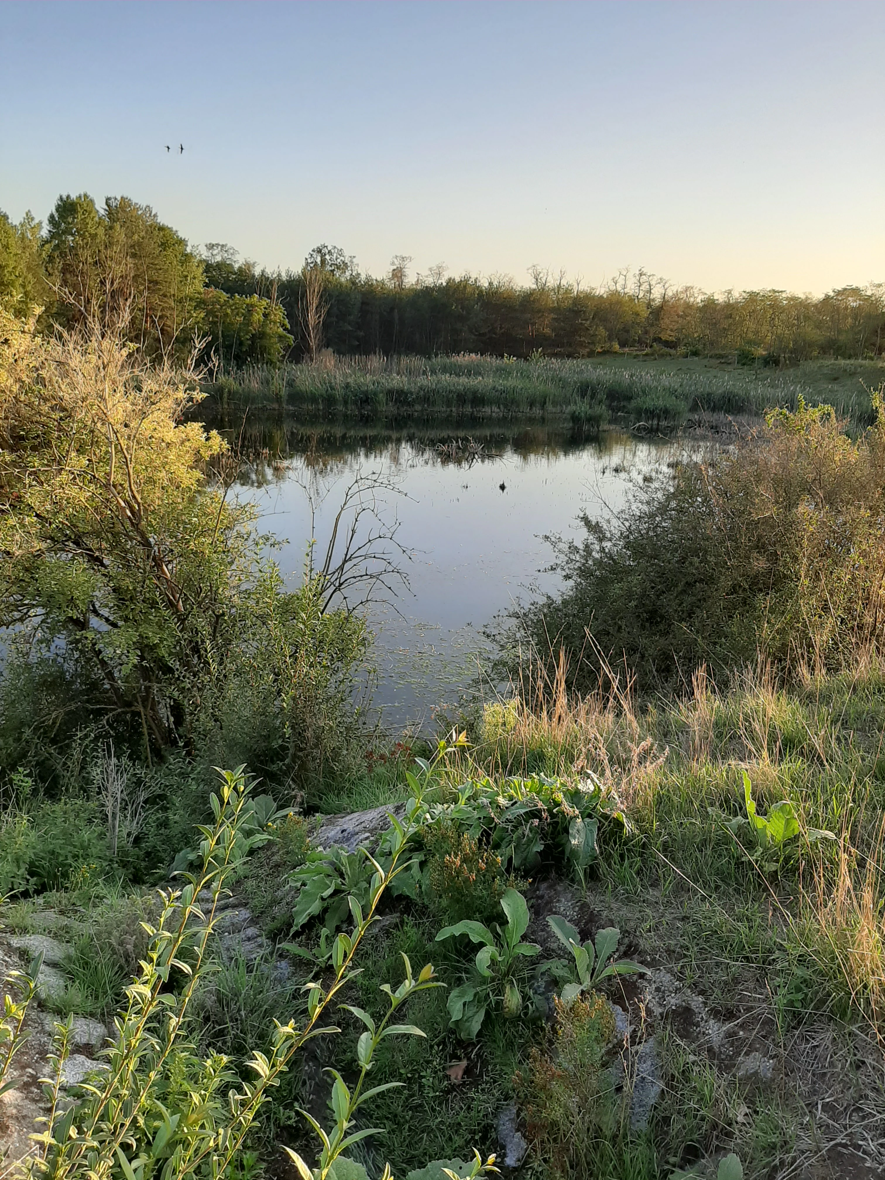
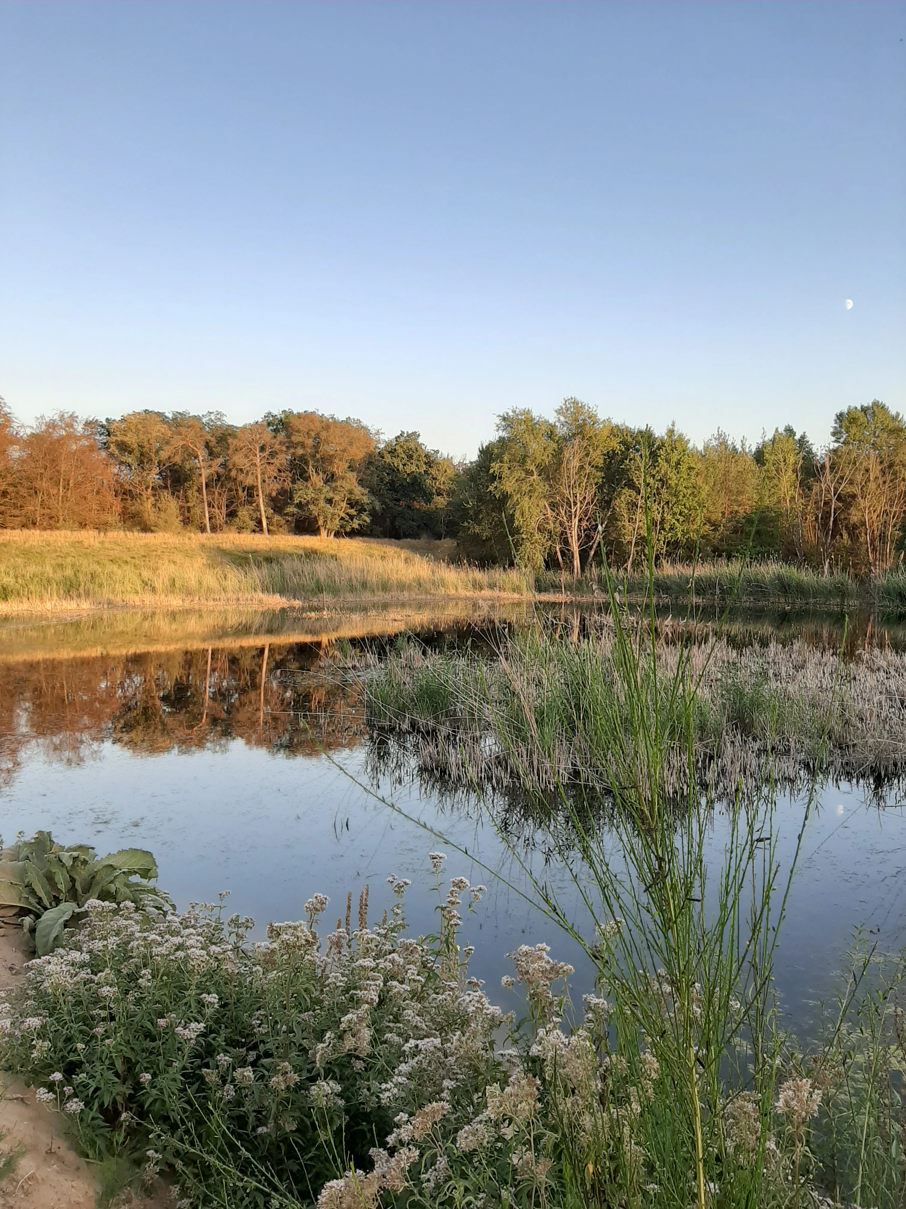
The quarry floor is the wetter part of the reserve: rainwater collects in shallow pools and damp hollows, edged by marshy transitions, scattered reeds, and scrubby thickets. Around and above this floor rise sandy and gravelly slopes, their faces still showing exposed sand in places and supporting the dry, warm open grasslands and ruderal communities typical of nutrient-poor sandy soils. Vegetation near the borders has been thickened with planted hedges, bushes, and lines of trees to separate the basin from adjacent farmland and roads. With surface elevations only around 99 to 100 meters above sea level, the site has no topographic drama; its landscape character comes entirely from the small-scale variation between water, sand, dry grassland, and young woodland.
Löserbecken von Weiterstadt ecosystems, habitats, and plant life
Ecologically, the Löserbecken von Weiterstadt is a textbook example of how a post-extraction sandy site can support unusually high habitat diversity in the Upper Rhine Plain. The reserve protects a tight cluster of contrasting habitat types in close proximity: rainwater pools, moist depressions, pioneer marshy vegetation, dry-warm sandy grasslands, flower-rich ruderal stands on the quarry slopes, scrubby hedges, and successional woodland. Together these habitats create the layered structure that few other small reserves in the region can match.
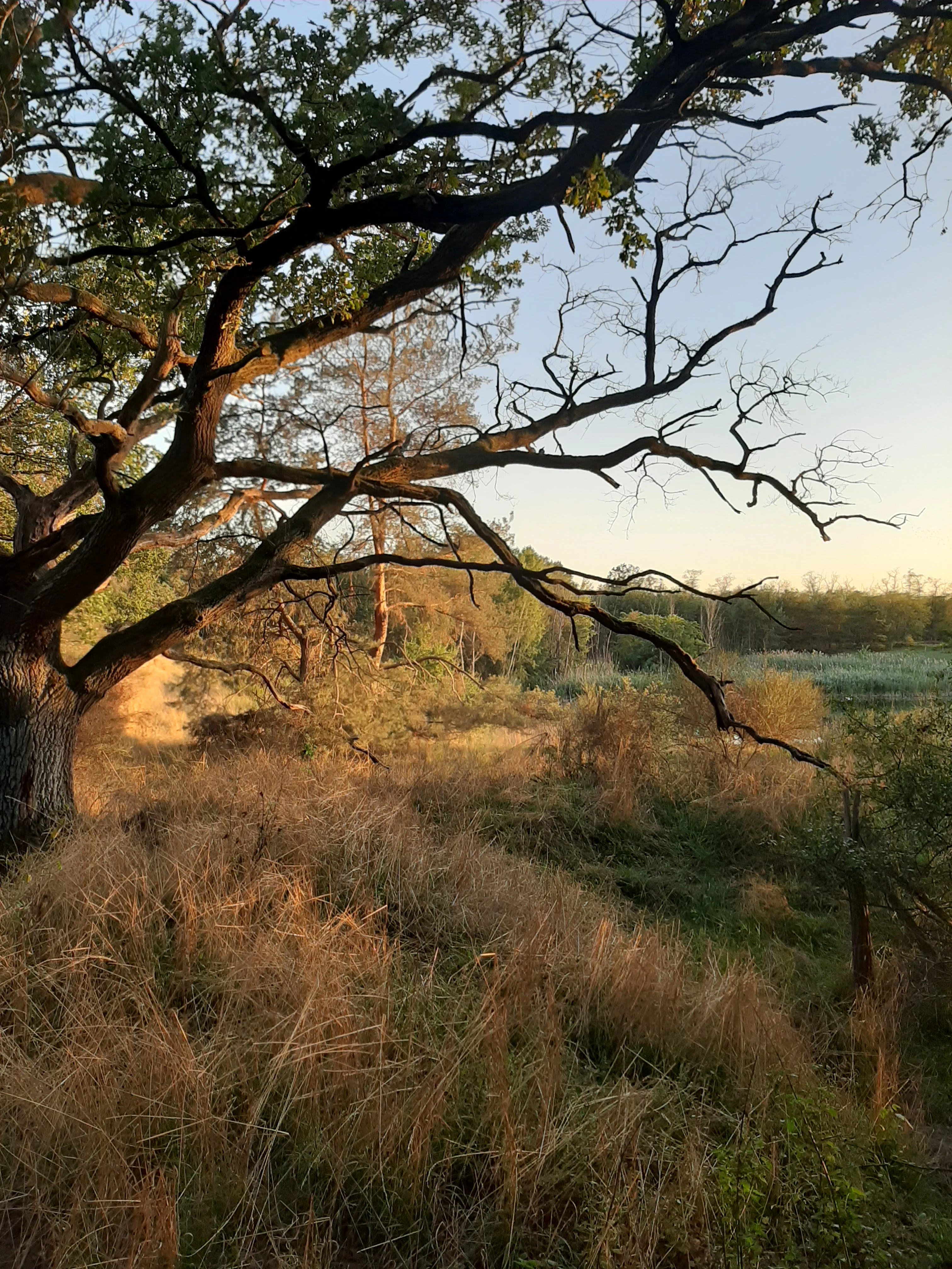
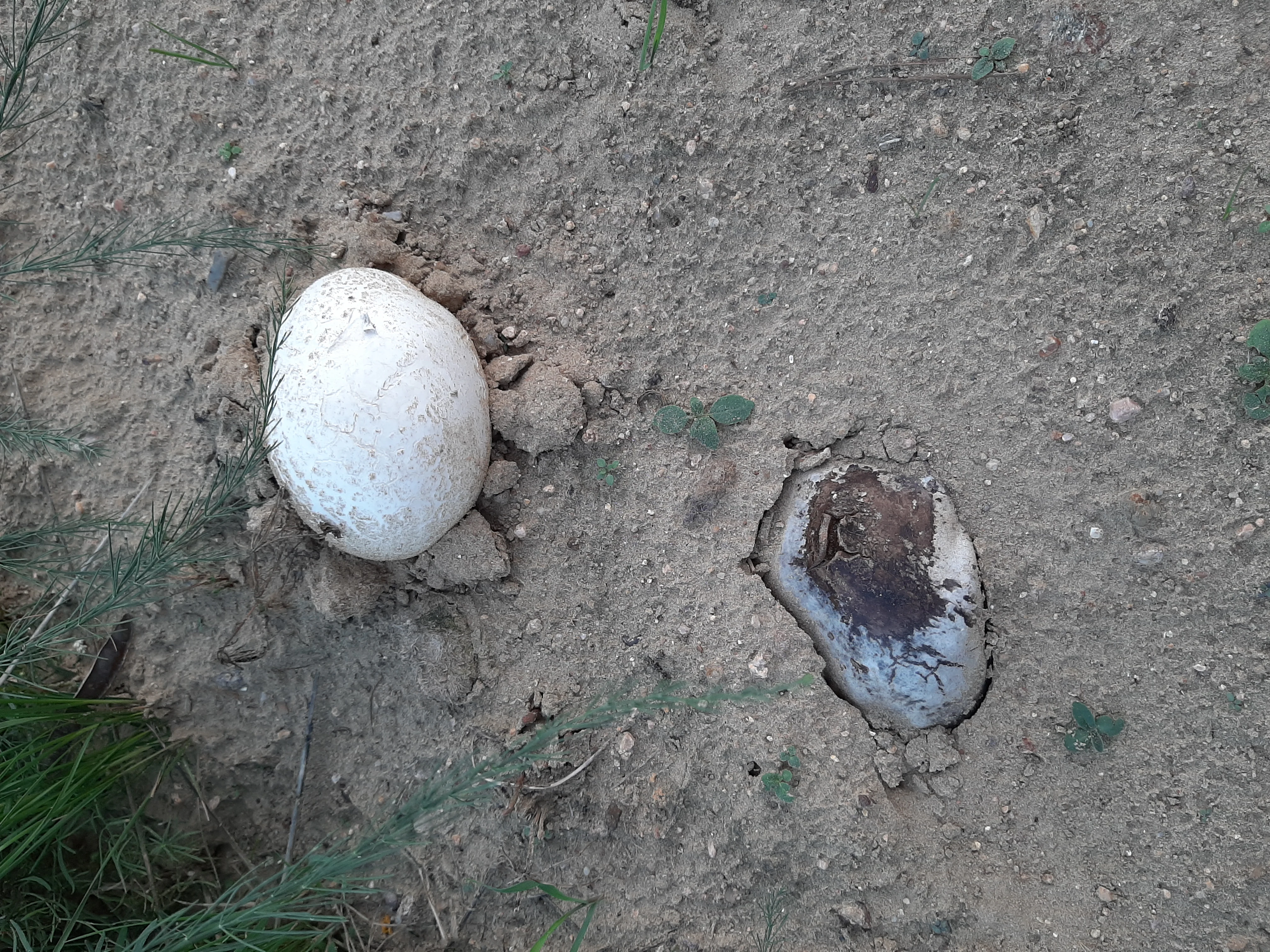
Vegetation has been changing since commercial sand extraction ended. The early, open pioneer communities have matured into mixed stands of pines, willows, black locust, and poplars on parts of the basin, while hedges and shrubs have been deliberately established along the northern and western edges to isolate the reserve from surrounding farmland. Special-interest plants reflect the sandy, often nutrient-poor ground: the reserve is documented as a habitat for species such as the great mullein and the hare's-foot puffball (Hasen-Stäubling), typical of dry, warm disturbed ground rather than closed forest.
Löserbecken von Weiterstadt wildlife and species highlights
The Löserbecken von Weiterstadt is most valued for its amphibian fauna, which thrives in the artificial pools and damp hollows of the former quarry floor. The reserve is an important breeding area for several protected amphibians, including the garlic toad (Knoblauchkröte), spring frog (Springfrosch), and natterjack toad (Wechselkröte). Particularly notable is the presence of the crested newt (Kammmolch), listed in Annex II of the EU Habitats Directive as a species of community interest and one of the main reasons the site is integrated into the Natura 2000 network.
Reptile life is represented by the sand lizard (Zauneidechse), well suited to the dry, sunny exposures along the quarry slopes. Birdlife includes the marsh harrier (Rohrweihe), which breeds in the area, alongside the more generalist species typical of small lowland wetland reserves. The combination of open water, dry sandy ground, scrub, and young woodland means the Löserbecken supports an unusually broad slice of lowland wildlife for its size, even if it does not host large charismatic mammals.
Löserbecken von Weiterstadt conservation status and protection priorities
The Löserbecken von Weiterstadt is protected on multiple levels, reflecting its recognized ecological importance in an otherwise heavily used landscape. It was designated as a Hessian Naturschutzgebiet on 18 July 1983, an early formal recognition that the former sand quarry and its successional vegetation warranted preservation. The boundary revision in 1993 strengthened the protection by clarifying which exact surfaces and habitats were included.
A further step came in 2008, when the site was confirmed as an FFH area (FFH-Gebiet 6117-311 / DE6117311) under the European Union's Natura 2000 network. This brings the site under the obligations of the EU Habitats Directive, particularly because of the presence of the crested newt, an Annex II species of community interest. The reserve is also classified under IUCN Category IV as a Habitat/Species Management Area.
The conservation goals focus on three interconnected habitat complexes: the moist biotopes at the bottom of the quarry, the dry-warm open grasslands and flower-rich ruderal communities on the slopes, and the belts of shrubs and trees that frame the basin. Maintaining these contrasts is essential, because the site depends on disturbance history; if the dry, open sand surfaces close over completely, many of the specialized species it supports would be lost.
Top sights and standout views in Löserbecken von Weiterstadt
The Löserbecken stands out for the contrast-packed ecology packed into a very small footprint: rainwater pools and amphibian breeding habitat sit directly beside dry sandy slopes and ruderal wildflower communities. It is also notable as a Natura 2000 site that originated not from a pristine natural landscape but from a former sand quarry, illustrating how post-industrial sites in the Rhine Plain can be turned into high-value nature reserves. Its crested newt population gives the small area real European conservation significance, while the breeding marsh harrier adds a further layer of birdlife interest.
Best time to visit Löserbecken von Weiterstadt
The reserve is best experienced in mild, low-insect weather when the amphibian pools, dry slopes, and open sandy ground are accessible on foot. Spring and early summer are typically the most rewarding periods: amphibian activity in and around the rainwater pools peaks at this time, and many of the ruderal plants on the slopes come into flower. Late summer and early autumn bring more visible fruiting bodies such as the hare's-foot puffball, while winter reveals the basin structure and bare sand exposures most clearly. Because the area is small and exposed, very hot midsummer days or icy winter conditions are less comfortable for walking the perimeter than the milder shoulder seasons.