Mori Atlas logo
Park earthquake history

A historical archive of documented seismic events mapped by epicentre distance to the reserve

Recorded Earthquake History and Seismic Records for the Meißner Nature Reserve in Hesse

This catalogue provides a factual overview of recorded earthquakes located in the vicinity of the Meißner Nature Reserve in northern Hesse. Each entry identifies seismic events by date, magnitude, and focal depth, offering a consistent reference for researchers and visitors interested in the regional earthquake history of this basaltic plateau. The records are associated with the protected area based on epicentre proximity, providing a clear geographic context for observing past seismic activity within the local landscape.

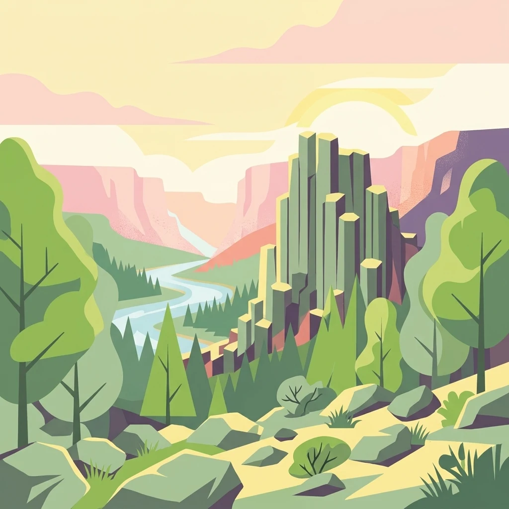
A vibrant, flat-style vector illustration showing a tall basalt rock pillar formation rising above a forest valley with a winding river in the background.

A basalt-mountain forest reserve in northern Hesse with ancient blockfields, hanging bogs, and montane meadows.

Meißner Nature Reserve

The Meißner Nature Reserve protects the steep slopes and significant portions of the plateau of the Hoher Meißner, a roughly 750-meter basalt massif in northern Hesse, Germany. The reserve sits within the Werra-Meißner-Kreis and forms the core of the larger Natura 2000 site 'Meißner und Meißner Vorland' as well as the European bird protection area 'Meißner'. At around 930 hectares, it is one of the largest nature reserves in Hesse and the state's largest forest nature reserve, complemented by species-rich mountain meadows and a hanging spring bog. The protected area is dominated by near-natural deciduous forests, with a strong presence of beechwoods on basaltic, sandstone, and limestone soils. It also encloses remarkable non-forest habitats: ancient basalt blockfields with cold-air microclimates that harbor glacial relicts, three small mires, a natural mountain pond, and traditionally grazed montane meadows with a rich floral heritage. Together, these features make the Meißner one of the ecologically most distinctive upland landscapes in central Germany. Beyond its ecological significance, the reserve carries a layered conservation history. Early protection efforts in the 1920s were followed by designation as a nature reserve in 1970, expanded to its present size in 1989, and formally integrated into the European Natura 2000 network in 2008. A dedicated forest wilderness reserve within the area has been left without forestry intervention since the late 1980s, ensuring an undisturbed reference area for long-term ecological research.

Location
Germany
Park type
Nature reserve
Established
1989
Area
9.3 km²
Highest point
750 m
Meißner Nature Reserve Geography

Search Meißner events by depth, place, and distance

Review the recorded earthquake catalogue associated with Meißner

Meißner Nature Reserve’s earthquake view associates reported epicentres with the Hoher Meißner massif by calculated reserve distance, without assigning seismic meaning to basalt, steep slopes, blockfields, beech forest, or plateau meadows. Each record provides a date, magnitude, depth, locality, source, and distance for historical comparison without attributing landscape effects, present hazard, or future activity.

Sort by
Magnitude
Location

This page describes catalogued earthquakes associated with the park by epicentre location and distance. It does not establish causation, assess current danger, or predict future earthquakes.

No earthquake records match the current filters

Park atlas

Move past Meißner historical earthquake data in the atlas

Discover other protected park destinations after Meißner

After Meißner Nature Reserve’s earthquake records, discover protected landscapes through their individual atlas pages. The selection does not identify sites with equivalent basalt geology, montane forest and bog habitats, German reserve status, upland character, seismic history, geographic proximity, present hazard, risk, or the same level of documentation.
A soft, light-colored watercolor painting of a rolling hilly landscape with sparse trees and open grassy meadows.
Nature reserveWerra-Meißner-Kreis
Mapped location lies within the park boundary#1 closest

Northwest

Bühlchen bei Weißenbach Nature Reserve: Protected Limestone Grasslands in Werra-Meißner-Kreis

Geographic atlas of a historic juniper heath and limestone hilltop.

Bühlchen bei Weißenbach represents a rare, semi-open cultural landscape shaped by centuries of sheep grazing on shell limestone summits. This nature reserve, integrated into the Natura 2000 network, offers a dense concentration of rare orchids and gentians across its rocky, nutrient-poor slopes, serving as a critical site for regional ecological study and landscape preservation.

Area
0.08 km²
Established
1985
IUCN
IV
Relief
Mountain
A watercolor painting showing a soft, green landscape with gentle rolling hills, small clusters of trees, and a small meandering stream, framed by delicate wild flowers in the foreground.
Nature reserveWerra-Meißner-Kreis
About 0.1 km away#2 closest

West

Quellgebiet der Weißen Gelster: Nature Reserve Geography and Protected Area Mapping

Calcareous spring mires and wet meadows in Werra-Meißner-Kreis

Located at the foot of the Meinetsberg, Quellgebiet der Weißen Gelster features a series of groundwater-dependent habitats including Davall's sedge fens and golden oat meadows. The reserve represents a key segment of the regional protected-area network, preserving rare vegetation types on Keuper bedrock within a characteristic upland agricultural valley.

Area
0.115 km²
Established
1991
IUCN
IV
Relief
Upland
Watercolor illustration showing rolling green hills, small clusters of trees, and tall grasses in the foreground against a soft white background.
Nature reserveWerra-Meißner-Kreis
1 km away#3 closest

Southwest

Reichenbacher Kalkberge Nature Reserve: Geographic and Protected Landscape Analysis

Muschelkalk limestone hills and orchid-rich grassland habitats

An essential look at the Reichenbacher Kalkberge protected area, where limestone-based forest stands meet rare semi-dry meadows. Gain geographic insight into the terrain, the medieval castle ruin surroundings, and the protected habitat mosaic that defines this distinctive part of the Geo-Naturpark Frau-Holle-Land.

Area
1.503 km²
Established
1996
IUCN
IV
Relief
Mountain
A horizontal watercolor painting showing a soft, muted landscape with rolling hills, a central open area, and clusters of green trees under a pale sky.
Nature reserveWerra-Meißner-Kreis
About 1.5 km away#4 closest

Northeast

Kripp- und Hielöcher Nature Reserve: Karst Geography and Protected Land in Werra-Meißner-Kreis

Geology-focused nature reserve featuring gypsum sinkholes and dry grasslands.

Kripp- und Hielöcher provides a rare look at Zechstein gypsum karst in Hesse. The reserve is split into two distinct areas, the Kripplöcher and Hielöcher, showcasing natural rock monuments, active karst springs, and a historical cultural landscape maintained through centuries of traditional land use.

Area
0.17 km²
Relief
Upland
Climate
Temperate
Access
Moderate access
A horizontal watercolor illustration depicting rolling green hills, scattered trees, and soft mountain silhouettes against a pale sky.
Protected areaGermany
4.8 km away#5 closest

North

Kalkmagerrasen bei Roßbach: Protected Calcareous Grassland and Juniper Landscape in Germany

Geographic atlas and protected area overview in Hesse

Kalkmagerrasen bei Roßbach consists of five distinct plots that protect rare Enzian Schillergras Rasen communities on shallow Zechstein limestone soils. This site remains a critical stronghold for diverse orchid populations and protected butterfly species within the Werra Meißner region. The mosaic of juniper, flowering herbs, and historic cherry orchards creates a unique Mediterranean character rarely found in central German hill country.

Area
0.551 km²
Established
1996
Relief
Upland
Climate
Temperate
A soft, minimalist watercolor painting of rolling hills and trees set against a white background.
Nature reserveHessen
4.9 km away#6 closest

East

Bilstein im Höllental: Protected Diabase Cliff and Ravine Forest in Hessen

Geological landscape and Natura 2000 protected area

Discover the geographic significance of Bilstein im Höllental, a nature reserve in the Werra-Meißner-Kreis that showcases a rare juxtaposition of warm rock refuges and cool, shaded ravine environments. The reserve protects significant cliff-dwelling plant communities and traces of medieval history upon its 284-meter diabase summit, providing a focused example of geological resistance shaping valley terrain.

Area
0.032 km²
Established
1960
IUCN
IV
Relief
Mountain
Watercolor painting of a pastoral landscape with light green hills in the distance, a field with flowering pink trees, and a pale green meadow in the foreground.
Nature reserveWerra-Meißner-Kreis
6.6 km away#7 closest

North

Ebenhöhe-Liebenberg Nature Reserve: Geography and Protected Habitat Mapping

Protected calcareous forests and dry grassland mosaic

Explore the mapped boundaries and natural terrain of the Ebenhöhe-Liebenberg nature reserve. This site provides a critical habitat mosaic including orchid-rich beech woodlands, nutrient-poor grasslands, and sandstone outcrops that form a significant conservation area within the Hessian highlands.

Area
142.48 km²
Established
1995
IUCN
IV
Relief
Upland
A wide watercolor illustration of a rolling landscape with green fields, patches of pink flowers, and distant purple hills under a pale sky.
Nature reserveWerra-Meißner-Kreis
About 7.5 km away#8 closest

East

Jestädter Weinberg: Protected Zechstein Cliffs and Werra River Valley Mosaic

A botanical and geological hotspot in northern Hesse

Jestädter Weinberg represents a critical protected landscape defined by its steep dolomite rock faces and sun-exposed slopes. This nature reserve provides an essential habitat for orchids and diverse insect populations, bridging the gap between high-altitude limestone ridges and the riparian meadows of the Werra river valley.

Area
0.6 km²
Established
1924
IUCN
IV
Relief
Upland
MoriAtlas Explorer

Explore the Mapped Geography and Protected Landscapes of the Meißner Nature Reserve

Continue discovering the unique basaltic terrain and forest ecosystems of the Meißner nature reserve. MoriAtlas provides detailed context on the reserve's protected boundaries, varied mountain habitats, and geological significance within the wider Hessian upland landscape.

Global natural geography