Mori Atlas logo
Nature reserveMelbtal

Tracing the protected boundaries, cold-air flow patterns, and primeval woodland of this urban stream valley.

Melbtal Nature Reserve: Mapping the Forested Valley and Geological Terrain of Bonn, Germany

(Naturschutzgebiet Melbtal)

Melbtal serves as a significant nature reserve and protected corridor within the urban landscape of Bonn, North Rhine-Westphalia. This steep-sided, wooded valley follows the course of the Melbbach, showcasing an old-growth character shaped by unusual geological instability and recurrent earthflows. As a vital piece of natural infrastructure, the valley supports a nocturnal cold-air flow that moderates the climate of the surrounding city while preserving a rare, near-natural deciduous environment.

urban nature reservebroadleaf forestold-growth woodlandstream valleyMelbbachgeological landslides

Melbtal

Nature reserve

Park overview

Structured park overview, official facts, and landscape profile for Melbtal

Melbtal park facts, protected area profile, and essential visitor context

Review the core facts for Melbtal, including designation, size, terrain, visitor scale, habitats, and operating context in one park-focused overview.

About Melbtal

Melbtal is one of the smaller but most distinctive protected natural areas within the city of Bonn, in the western German state of North Rhine-Westphalia. The valley runs southwest of Bonn's historic center, between the residential districts of Ippendorf and Poppelsdorf and the elevated Venusberg, and is drained by the Melbbach. Its forested slopes give it a deeply shaded, almost primeval appearance, which is why it is sometimes compared to an ancient woodland despite being only minutes from the city.

The valley has been protected as a nature reserve since 2013, under the designation BN-011 and as part of the broader Kottenforst landscape plan. The protection covers around 200 hectares of woodland, slopes, and stream corridor, with the stated goal of preserving its near-natural forest character and the ecological processes that shape it. Because the valley is surrounded by city districts and is crossed only by footpaths, its conservation status has come to mean a quiet retreat that buffers the busy city rather than a remote wilderness.

Melbtal is also notable for the way it interacts with Bonn's urban climate. At night, a cold-air flow, locally called the Melbtalwind, drains down the valley and into the city center. This microclimate was apparently considered as early as the eighteenth century, when an airflow corridor along the Clemens-August-Straße and Poppelsdorfer Allee was preserved in the urban layout; it was partly blocked by later twentieth-century buildings, but the valley itself remains a key source of cool, clean air for the surrounding districts.

Culturally, the valley carries more layers than its size suggests. A historic brick bridge from 1842, the Melbbrücke, crosses the lower part of the stream, and remains of an older lava-tuff bridge are visible nearby. Features like the Jufferetrepp and the Troschelstein recall an eighteenth-century English-style garden and a nineteenth-century park dedicated to the zoologist Franz Hermann Troschel. The valley was even celebrated in a poem by the Italian Nobel laureate Luigi Pirandello, who spent time in Bonn in the late nineteenth century.

Quick facts and research context for Melbtal

Melbtal is a designated nature reserve in Bonn, North Rhine-Westphalia, Germany, classified under IUCN Category IV as a Habitat/Species Management Area. It was officially established in 2013 and lies within the Kottenforst landscape plan. The reserve is administered by the Lower Landscape Authority of the City of Bonn and is recorded under the designation BN-011.

The valley follows the Melbbach (also called the Engelsbach) and lies between the Bonn districts of Ippendorf, Poppelsdorf, and Venusberg. Two footpaths run along either side of the valley, and the area connects culturally and climatically to central Bonn via historic routes including the Clemens-August-Straße and the Poppelsdorfer Allee.

Protection and recognition

Terrestrial protected area records and international recognition data

Melbtal Protection Status and Documented Conservation Scope

Terrestrial conservation records for Melbtal outline the documented protection status and designated management framework. Verified administrative details provide a structured look at the legal boundary and official recognition history without assuming outcomes.

Protection details

Protection scope
Terrestrial
Transboundary protection
No
WDPA ID
555560685
Park context

Deeper park guide and search-rich context for Melbtal

Melbtal history, landscape, wildlife, and travel context

Explore Melbtal through its history, landscape character, ecosystems, wildlife, conservation priorities, cultural context, and seasonal travel timing in a structured park guide built for atlas discovery and search intent.

Why Melbtal stands out

Melbtal is best known for its old-growth, almost primeval forest character in the middle of an urban setting. Its combination of dense native woodland, a small meandering stream, geological instability, and seasonal wildflowers gives it a distinctive feel that contrasts sharply with the surrounding city of Bonn. The valley is also recognized for a nocturnal cold-air flow known as the Melbtalwind, which draws cool air from the forest down toward central Bonn and historically shaped how the city's western districts were laid out.

Melbtal history and protected-area timeline

The valley's name has Celtic roots, with "Melb-" understood to mean clayey or loamy, and the stream it follows has been called both the Melbbach and, after the former Engels Monastery, the Engelsbach. These older names show that the valley has long been recognized as a distinct, damp, clay-influenced landscape in its own right.

The cultural shaping of the valley goes back to the eighteenth century, when Elector Clemens August of Bavaria is thought to have deliberately preserved a corridor of open land along what are now the Clemens-August-Straße and the Poppelsdorfer Allee. This cool-air corridor was designed to channel fresh air from the Melbtal toward the inner city and reflects early awareness of the valley's climatic role.

In the nineteenth century, the valley became a site of picturesque landscaping. The Melbbrücke, a brick bridge from 1842, still spans the lower Melbbach, and remains of an earlier bridge of lava tuff can still be found nearby. Later in the century, the Bonn beautification society created the Troschel-Park in honor of the zoologist and university rector Franz Hermann Troschel. Although the park itself has not survived, the Troschelstein monument and traces of the landscaping remain.

In the 1960s, the valley's geology caused serious problems when houses slid downslope into the Melb, a consequence of the unstable layered soils beneath the forest. These landslides have continued at a smaller scale, with older trees regularly toppling across the stream, and they have shaped how the area is managed and how access is regulated.

In 2013, the valley was formally designated a nature reserve (Naturschutzgebiet Melbtal) under the Kottenforst landscape plan. The protection was the product of long-standing local efforts, including the work of the Schutz- und Nutzinitiative under Wolfgang Alt, who helped represent residents' interests when controversial path closures were discussed.

Melbtal landscape and geographic character

Melbtal is a narrow, steep-sided valley cut into the western slopes overlooking Bonn. Its floor is taken up almost entirely by the Melbbach, which flows through a densely wooded channel with little flat space on either side. The slopes are covered with mature mixed forest, and the canopy closes in tightly above the stream, giving the valley a low, enclosed character that contrasts with the open cityscape just above.

The terrain is shaped by an unusual geological structure. Beneath the upper layer of water-permeable loess loam sits a swelling brown coal seam only a few centimeters thick, which in turn rests on impermeable clay. When water reaches the brown coal layer, it can act like a lubricant, and the overlying soil can slide downslope in slow earth flows or sudden slips. This instability has caused houses to slide into the valley and continues to bring older trees toppling into the stream each year.

The valley is framed by the wooded hill of the Venusberg to one side and the more urban surroundings of Ippendorf and Poppelsdorf to the other. Because footpaths rather than roads run along both sides of the stream, the landscape reads as a continuous green corridor reaching almost into the center of Bonn.

Melbtal ecosystems, habitats, and plant life

The vegetation of Melbtal is dominated by mature broadleaf and mixed forest on the valley slopes and along the stream corridor. Because the forest has largely been left to develop on its own for decades and because access by vehicles is limited, it has taken on a structurally varied, near-natural character, with fallen trunks, uneven age classes, and dense undergrowth in places.

In spring, the forest floor is notable for the abundance of typical early-flowering woodland species, including wood anemones (Buschwindröschen), which carpet parts of the valley during their brief blooming period. The damp, loamy soils and shaded conditions support this classic central-European spring flora, and the rest of the year the valley retains a cool, moist microclimate that sets it apart from urban Bonn.

The stream itself and the wet margins along it add a second habitat type to the reserve, supporting different plant communities and providing a continuous moisture corridor through the woodland.

Melbtal wildlife and species highlights

The source material does not provide a detailed inventory of the fauna of Melbtal, but the nature of the reserve and its habitat structure help explain what wildlife it can support. The combination of old-growth deciduous forest, a permanent stream, shaded humid conditions, and connection to the larger Kottenforst forest to the west makes the valley well suited to typical central-European woodland species.

Fallen trees and decaying wood in the stream corridor create habitat for invertebrates, amphibians, and the small mammals that depend on damp woodland conditions. Songbirds associated with mature broadleaf forest, including those that favor dense canopy, are characteristic of this kind of habitat, while the stream and its banks support amphibians, aquatic invertebrates, and other moisture-dependent fauna.

Repeated natural landslips and the slow movement of older trees into the stream continually reshape the habitat, so the valley is in a state of structural renewal rather than stable equilibrium. This disturbance pattern benefits species that depend on deadwood, newly opened spaces, and regenerating forest.

Melbtal conservation status and protection priorities

The formal protection of Melbtal as a nature reserve in 2013 was a response to several converging pressures. The valley's proximity to densely populated Bonn districts meant it was always at risk of encroachment, and the unstable geology made management decisions around paths, drainage, and tree safety a recurring source of local conflict. Designating the area as a Naturschutzgebiet under the Kottenforst landscape plan gave it a stronger legal framework.

The reserve is classified under IUCN Category IV as a Habitat/Species Management Area, indicating an emphasis on active stewardship of specific habitats and species alongside general protection. The Lower Landscape Authority of the City of Bonn (Untere Landschaftsbehörde der Stadt Bonn) administers the area.

A local citizens' initiative, the Schutz- und Nutzinitiative under Wolfgang Alt, played an important role by voicing the interests of valley residents and helping to prevent the most restrictive path closures that were once proposed. The conservation approach therefore balances strict habitat protection with continued public access.

Ecologically, the reserve matters because it preserves a rare fragment of old-growth-style woodland and its associated microclimate within the urban fabric of a major German city. The ongoing natural disturbance from landslides and treefall is treated as part of the valley's ecological character rather than as a problem to be eliminated.

Melbtal cultural meaning and human context

Melbtal has shaped the cultural identity of western Bonn in several different ways. Historically, its name is far older than the city around it: the prefix "Melb-" is thought to derive from a Celtic word meaning clayey or loamy, describing the very soils that still give the valley its character. The alternative historical name Engelsbach reflects the influence of a former monastery in the area.

In the eighteenth century, the valley's role as a source of cool air for the city was apparently taken seriously by Elector Clemens August of Bavaria, who is thought to have deliberately preserved an open corridor along the Clemens-August-Straße and the Poppelsdorfer Allee to channel fresh air toward the city center. That corridor was partially built over in the twentieth century, but the underlying logic of linking the green valley with the urban heart of Bonn remains in the city's layout.

In the nineteenth century, the valley inspired artistic and literary responses. The painter Johann Wilhelm Schirmer depicted "Das Melbtal bei Bonn" in 1852, and the Italian writer Luigi Pirandello, who spent time in Bonn as a doctoral student and then as a lecturer, wrote a poem in his cycle "Pasqua di Gea" (1891) addressed to the valley. His German girlfriend, Jenny Schulz-Lander, is associated with the work and later emigrated to the United States. These layers of art, poetry, and political landscape planning mean that Melbtal is read today as much as a cultural landscape as a natural one.

Top sights and standout views in Melbtal

Among the most distinctive features of Melbtal is its near-natural deciduous forest, which has developed a structurally complex, old-growth feel despite being inside a large German city. This juxtaposition of urban surroundings and ecologically rich woodland is one of the valley's strongest attractions.

Equally distinctive is the valley's relationship with its geology. The thin brown coal seam between permeable loess and impermeable clay creates recurring earthflows and landslides, and each year older trees tip into the Melbbach with their root plates exposed. The cultural landmarks, including the 1842 Melbbrücke, the remains of the Troschel-Park, the Troschelstein, and the Jufferetrepp, layer a recognizable historical identity onto this living landscape.

Finally, the nocturnal Melbtalwind turns the valley into a quiet but real climatic asset for central Bonn: it remains a working piece of natural infrastructure, channeling cool air toward the inner city across roughly two centuries of urban change.

Best time to visit Melbtal

Source material supports a clear seasonal note for Melbtal: spring is the most striking time to experience the valley's characteristic flora. Early-flowering woodland species such as wood anemones (Buschwindröschen) carpet parts of the forest floor during this short window, and the light filtering through fresh green leaves gives the valley its most luminous quality.

In summer, the valley's dense canopy keeps the temperature markedly cooler than central Bonn, especially during the evening cold-air flow associated with the Melbtalwind. Autumn brings leaf color and visible signs of natural disturbance, as older trees continue to slip downslope. Winter is quiet and structurally bare, offering an uncluttered view of the valley's geology and its stream.


Monthly climate preview

Representative temperature and precipitation trends across the annual cycle

Melbtal Climate Normals and Long-Term Weather by Month

Long-term data records show monthly average temperatures ranging from near freezing to warm maximums alongside steady daily precipitation at a reference coordinate of 370 meters. Examining the complete twelve-month climate profile reveals full thermal variation and monthly precipitation patterns across the protected landscape.
Annual mean9 °C
0 °C18 °C
Jan
Feb
Mar
Apr
May12°
Jun15°
Jul18°
Aug18°
Sep14°
Oct
Nov
Dec
Warmest month
July

17.9 °C

Coolest month
January

0 °C

Wettest month
June

2.5 mm/day

Driest month
April

1.6 mm/day

Park location guide

Geography guide, regional context, and park location map for Melbtal

Melbtal park geography, regions, and map view in Germany

Understand where Melbtal sits in Germany through a broader geographic reading of the surrounding landscape, nearby location context, and its mapped position within the national park landscape.

How Melbtal fits into Germany

Germany is a federal republic in Western and Central Europe with a population of over 83 million across sixteen constituent states. It is Europe's largest economy by nominal GDP and a major global exporter and importer. The capital is Berlin, and the country borders Denmark, Poland, Czech Republic, Austria, Switzerland, France, Luxembourg, Belgium, and the Netherlands.

Wider geography shaping Melbtal in Germany

Germany is located in Western and Central Europe, spanning 357,022 km². It borders Denmark to the north, Poland and the Czech Republic to the east, Austria and Switzerland to the south, and France, Luxembourg, Belgium, and the Netherlands to the west. The country has coastlines on the Baltic Sea and North Sea to the north, with the Alps located in the southern region.

Map view of Melbtal

Use this park location map to pinpoint Melbtal in Germany, understand its exact geographic position, and read its mapped placement within the surrounding landscape more clearly.

Pigeon | © OpenStreetMap contributors

Location context for Melbtal

North Rhine-Westphalia
Park atlas

Compare adjacent woodland valleys, urban nature reserves, and connected regional landscapes.

Explore Other Parks Near Melbtal and Protected Areas Across the Surrounding Region

Visitors exploring Melbtal can continue browsing other nearby protected areas and urban forest reserves. Such comparisons reveal how neighboring natural corridors and regional landscapes share similar ecological and geological traits.
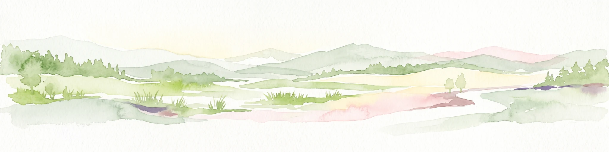
A horizontal watercolor painting depicting a gentle, hazy green landscape with rolling hills, a line of trees, and a foreground meadow.
Protected landscapeNorth Rhine-Westphalia
Mapped location lies within the park boundary#1 closest

Northwest

Naturpark Rheinland: Geography and Protected Area Overview in North Rhine-Westphalia

A complex metropolitan nature park and lake district

Naturpark Rheinland represents a distinct convergence of reclaimed lignite mining landscapes, quiet lowland forests, and floodplain wetlands. Its mapped boundaries reveal a diverse terrain of ridges and river valleys that define the environmental character of the Cologne-Bonn metropolitan region.

Area
1,045 km²
Established
1959
Relief
Upland
Climate
Temperate
A soft watercolor painting depicting a panoramic landscape with rolling green hills, patches of forest, and gentle terrain.
Nature reserveNordrhein-Westfalen
About 4.8 km away#2 closest

Southwest

Kottenforst-Waldville Nature Reserve: Protected Landscape Geography and Forest Mapping

A significant oak-hornbeam woodland complex within Nordrhein-Westfalen.

Kottenforst-Waldville comprises extensive, interconnected forest blocks defined by their high-value oak-hornbeam stands and rare woodland pools known as Maare. This protected area supports a dense regional network of spring brooks and floodplain woodlands, serving as a critical refuge for woodpecker populations and raptors within the anthropogenically shaped landscape of the Rhine valley.

Area
35.853 km²
Established
2004
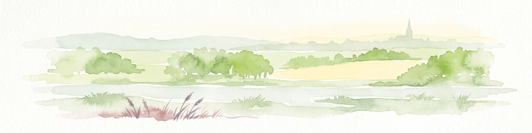
A horizontal watercolor painting of a river landscape with lush green trees, fields, and a distant church spire on the horizon.
Nature reserveRhein-Sieg-Kreis
About 5.4 km away#3 closest

North

Siegaue und Siegmündung Nature Reserve in Rhein-Sieg-Kreis: A Geographic Overview

Protected floodplain ecosystems and river-mouth geography

The Siegaue und Siegmündung nature reserve protects a critical river-mouth landscape where the Sieg flows into the Rhine. This area features a complex mosaic of wet meadows, softwood alluvial forests, and abandoned river channels, providing essential habitat for migratory waders. The reserve represents a near-natural floodplain environment within the densely populated Cologne-Bonn Rhine plain.

Established
1985
Relief
Lowland
Climate
Temperate
Scope
Terrestrial
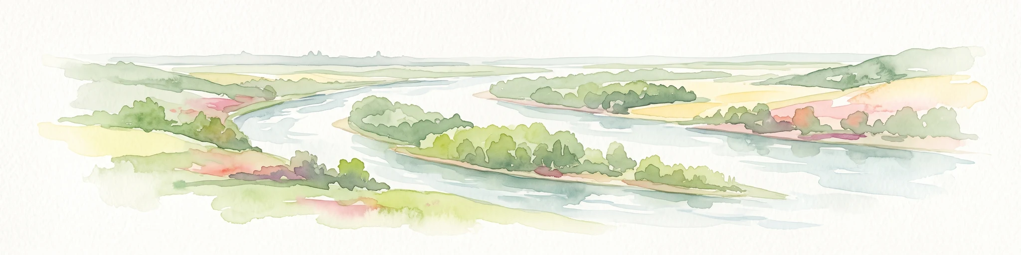
A soft watercolor painting showing a winding river with a lush green island in the middle, surrounded by soft-toned riverbanks and trees.
Nature reserveNorth Rhine-Westphalia
About 8.1 km away#4 closest

North

Herseler Werth Nature Reserve: Geographic Overview of the Rhine River Island Landscape

A strictly protected riverine refuge in North Rhine-Westphalia

Herseler Werth represents a unique study in protected geography as the only non-publicly accessible Rhine island within North Rhine-Westphalia. Spanning 14.8 hectares, this long, narrow river island serves as a critical, human-excluded sanctuary that protects endangered species from industrial and urban disturbance. Its mapped boundaries and poplar-covered terrain illustrate the complex interaction between historical river hydrology and modern conservation efforts along the busy Bonn-Cologne corridor.

Area
0.148 km²
Established
1993
Relief
Lowland
Climate
Temperate
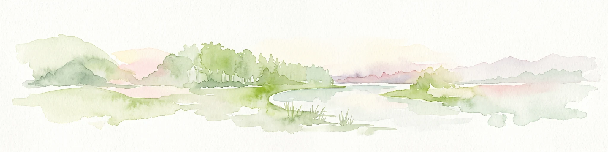
A soft watercolor illustration showing a peaceful landscape with gentle hills, trees, and small ponds reflecting light.
Nature reserveNordrhein-Westfalen
About 8.5 km away#5 closest

Northwest

Quarzsandgrube Nature Reserve: Geographic Profile and Protected Landscape Context

Protected mosaic of pioneer habitats in the Rhein-Sieg-Kreis

Located on the terrace slopes of the Rhein-Sieg-Kreis, Quarzsandgrube represents a significant refuge for early successional flora and fauna. The site features an uneven terrain of exposed sandy soils and water-filled hollows, providing a vital habitat corridor alongside adjacent protected areas. This detailed geographic profile maps the environmental conditions that define its current status as a protected nature reserve.

Area
0.29 km²
Established
1994
IUCN
IV
Nature reserveCologne
About 16 km away#6 closest

North

Kiesgruben Paulsmaar Nature Reserve: Landscape and Geography in the Cologne Urban Fringe

A managed mosaic of post-industrial gravel pits and wetland habitats.

Kiesgruben Paulsmaar represents a distinct example of urban-edge habitat restoration in western Germany. Located near the border of Cologne, this 24-hectare nature reserve consists of three interconnected water bodies, floodplain forests, and calcareous grasslands. It serves as a regional refuge for biodiversity while documenting the conversion of former industrial land into a functioning wetland ecosystem.

Area
0.247 km²
Established
1991
Relief
Lowland
Climate
Temperate
Watercolor landscape illustration showing a pale river curving through green trees with soft hills in the distance.
Nature reserveNorth Rhine-Westphalia
About 16 km away#7 closest

Northwest

Langeler Auwald: A Protected Floodplain Forest in the North Rhine-Westphalia Rhine Corridor

Examining fluvial landscape patterns and riparian forest boundaries

Langeler Auwald functions as a significant nature reserve on the right bank of the Rhine in Cologne, preserving a rare mosaic of willow-poplar floodplain forest. The terrain encompasses periodically flooded gravel shores, nutrient-poor grasslands on flood dikes, and transitional orchard habitats that support a high density of protected species within the urbanized landscape of North Rhine-Westphalia.

Area
0.224 km²
Relief
Lowland
Climate
Temperate
Scope
Terrestrial
Nature reserveNorth Rhine-Westphalia
About 17 km away#8 closest

North

Kiesgrube Wahn Nature Reserve: Mapped Geography and Protected Area Context

Protected landscape within the Bergische Heideterrasse of North Rhine-Westphalia

Kiesgrube Wahn provides a compact, high-value ecological mosaic in Cologne, Germany. This former gravel pit has transitioned into a protected nature reserve, hosting a range of aquatic and woodland environments that support rare plant and animal communities within the regional gravel-pit network.

Area
0.054 km²
Established
1988
Relief
Lowland
Access
Highly restricted

Common questions about visiting, size, designation, and location context for Melbtal

Melbtal FAQs for park facts, access, geography, and protected area context

Find quick answers about Melbtal, including protected-area facts, park geography, trail and visitor context, and how the park fits into its surrounding country and regional landscape.
MoriAtlas Explorer

Continue Your Protected Areas Search Across the Global Atlas

Deepen your exploration by continuing the structured search for national parks and protected areas worldwide. Utilize the comprehensive filtering capabilities to compare different conservation landscapes and refine your understanding of global park geography. Discover more about the distribution and characteristics of protected natural areas.

Global natural geography