
Mori Atlas logo
Park earthquake history

Explore detailed records of seismic events associated by location within the Eifel plateau region.

Historical Earthquake Records and Seismic Activity Catalogue for Naturschutzgebiet Perlenbach-Fuhrtsbachtal

Access a structured collection of recorded earthquake events linked to the geographic vicinity of Naturschutzgebiet Perlenbach-Fuhrtsbachtal. Each entry provides event details including epicentre location, calculated proximity to the reserve, and magnitude data sourced from verified seismic databases. This catalogue serves as an informational resource for understanding regional seismic history near the valley system without implying hazard assessments or future risk trends.

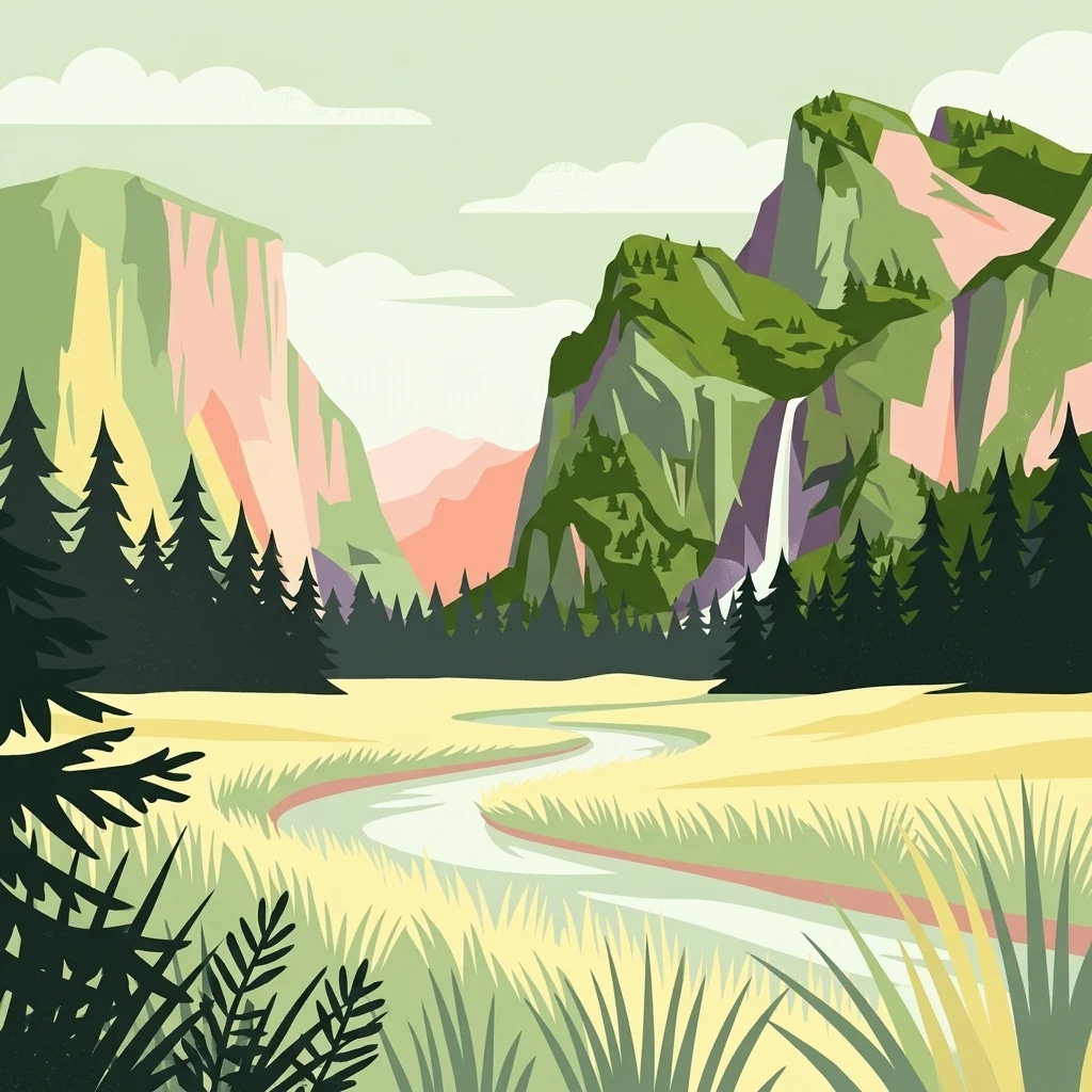
A flat-style digital illustration showing a winding river through a grassy valley, flanked by evergreen forests and steep mountain cliffs with a waterfall.

A cool, misty valley system in the northern Eifel famous for wild narcissus meadows and rare freshwater wildlife.

Perlenbach-Fuhrtsbachtal Nature Reserve

The Perlenbach-Fuhrtsbachtal Nature Reserve is a deeply incised, narrow valley system in the northern Eifel, in the Städteregion Aachen region of North Rhine-Westphalia, Germany. It protects two roughly five-kilometer-long, 25 to 100 meter wide streams, the Perlenbach and the Fuhrtsbach, flanked by upland meadows, lowland bogs, sedge and reed beds, spring-fed fens, and relict beech forest. The reserve sits at the edge of the Elsenborn military training area, whose restricted status has shielded the valleys from large-scale development for decades and helped preserve an unusually cool, humid microclimate. This microclimate supports one of Germany's two major wild narcissus populations, more than 10 million blooming Narcissus pseudonarcissus each spring, alongside relict butterfly species that depend on persistent moisture. Beyond its floral spectacle, the reserve is recognized for its exceptionally rich freshwater fauna, including the only remaining North Rhine-Westphalian population of the freshwater pearl mussel and a strongly threatened spring snail, as well as brook trout, grayling, lampreys, kingfishers, dippers, and recently returning beavers.

Location
Germany
Park type
Nature reserve
Established
1976
Area
3.4 km²
Highest point
615 m
Explore Naturschutzgebiet Perlenbach-Fuhrtsbachtal Protected Area

Review Naturschutzgebiet Perlenbach-Fuhrtsbachtal records by distance

Browse earthquake data near Naturschutzgebiet Perlenbach-Fuhrtsbachtal

Naturschutzgebiet Perlenbach-Fuhrtsbachtal covers 3.4 km² of German valleys, forest, wetlands, and rivers between 465 and 615 metres. Search nearby earthquakes by the facts reported for each event and its calculated distance from the reserve rather than assuming effects on the stream valleys, boundary inclusion, or predictive significance.

Sort by
Magnitude
Location

This page describes catalogued earthquakes associated with the park by epicentre location and distance. It does not establish causation, assess current danger, or predict future earthquakes.

No earthquake records match the current filters

Park atlas

Continue past Naturschutzgebiet Perlenbach-Fuhrtsbachtal earthquake data

Discover more parks after Naturschutzgebiet Perlenbach-Fuhrtsbachtal

Naturschutzgebiet Perlenbach-Fuhrtsbachtal spans 3.4 km² of German valleys, forest, wetlands, and rivers between 465 and 615 metres. Its onward links enable comparison with separate earthquake histories without implying shared ground conditions, landscape consequences, current risk, or prediction.
Watercolor illustration of rolling green hills and meadows with patches of pink and yellow flowers
National parkNorth Rhine-Westphalia
Park boundaries overlap#1 closest

Northeast

Eifel National Park: North Rhine-Westphalia Protected Area Atlas

Explore mapped boundaries and regional geography.

Gain a structured understanding of Eifel National Park, a key protected area within Germany's North Rhine-Westphalia region. This page focuses on its geographic identity, detailing mapped boundaries and offering context within the state's broader natural landscapes. MoriAtlas enhances your exploration by presenting Eifel National Park as a distinct entity within a larger geographic framework, ideal for atlas-based research and understanding protected land distribution.

Area
107 km²
Established
2004
IUCN
II
Relief
Upland
Protected landscapeBelgium
About 1.1 km away#2 closest

East

Hohes Venn, Eifel Nature Park: A Protected Landscape in Belgium for Geographic Atlas Exploration

Explore mapped natural terrain and protected area details.

The Hohes Venn, Eifel Nature Park in Belgium represents a key protected landscape for atlas and geographic discovery. This entry focuses on the park's specific identity, its geographic setting within Belgium, and the value it holds for users interested in mapped terrain and protected area exploration. Understand the landscape context and the detailed geographic information available for this significant natural area, supporting structured learning about Belgium's conservation efforts.

IUCN
V
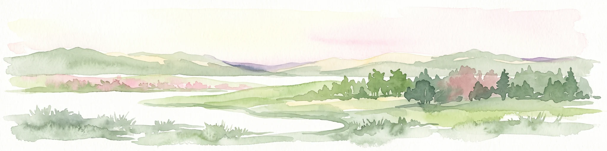
A pale, minimalist watercolor painting showing a soft-focus landscape with green trees in the foreground, rolling hills in the background, and hints of pink in the foreground foliage.
Protected areaGermany
About 2 km away#3 closest

Northeast

Holderbachtal, Dürholderbachtal: Protected Area Geography and Landscape Mapping in Germany

Integrated stream valley and wetland habitat analysis

Holderbachtal, Dürholderbachtal covers 187 hectares of diverse terrain in Germany, blending alder swamp forests with species-rich grasslands. This protected area offers deep insight into the valley-bound ecology and hydrological characteristics that define the Eifel region. Explore the connection between the primary stream systems, spring mires, and the surrounding woodland mosaic in this structured geographic overview.

A soft watercolor illustration of a rolling green landscape with flowering trees and distant forested hills, isolated on a white background.
Nature reserveNordrhein-Westfalen
About 2.2 km away#4 closest

North

Kluckbachtal Nature Reserve: Geographic Atlas and Protected Stream Valley Overview

Mapped riparian forest and orchard meadow habitats in Nordrhein-Westfalen

Kluckbachtal protects a distinctive valley segment between Rohren and Höfen, featuring a complex of stream beds, wet grasslands, and old oak and alder woodland. This nature reserve is recognized for its significant role in preserving Red List species and traditional cultural landscapes, offering a detailed look at the ecology of the northern Eifel region through its varied habitats.

Area
1.13 km²
Established
1997
IUCN
IV
Relief
Upland
Nature reserveNordrhein-Westfalen
About 2.9 km away#5 closest

East

Wüstebachtal Nature Reserve: Protected Eifel Valley and Wetland Landscapes

Hydrological geography and upland meadow ecosystems in Nordrhein-Westfalen

Wüstebachtal represents a quintessential Eifel nature reserve where the convergence of flowing stream corridors and species-rich meadows creates a unique habitat for threatened flora. This protected area focuses on the conservation of the Wüstebach valley, maintaining vital connections between alpine-style meadow communities and forest-fringed wetlands within the North Rhine-Westphalia region.

Area
0.834 km²
Established
1997
IUCN
IV
A horizontal watercolor painting showing a soft, stylized landscape with rolling green hills, distant purplish ridges, and grassy foreground elements on a white background.
Nature reserveNordrhein-Westfalen
About 3.8 km away#6 closest

Northeast

Mittleres Rurtal mit den Felsbildungen der Perdsley und Wiselsley Protected Nature Reserve Map

Exploring the Rur valley river dynamics and cliff geology

Investigate the topographical features of the Mittleres Rurtal mit den Felsbildungen der Perdsley und Wiselsley, a critical nature reserve characterized by free flowing river segments and steep ravine forests. This overview outlines the ecological distribution of rock formations and riparian habitats across the Monschau region landscape.

Area
1.33 km²
Established
2003
IUCN
IV
A watercolor painting depicting a soft, panoramic landscape of a meandering stream valley with rolling hills, meadows, and scattered patches of trees.
Nature reserveNordrhein-Westfalen
About 4.1 km away#7 closest

North

Kleines Laufenbachtal Nature Reserve: Geographic Atlas of an Eifel Stream Valley

Protected brook habitats and natural rock landscapes in North Rhine-Westphalia

Investigate the topographical features and habitat diversity of Kleines Laufenbachtal, an established nature reserve in the Eifel. This protected area showcases a dense assembly of wet grasslands, reed banks, and rocky slopes that anchor local ecological corridors within the Monschau landscape.

Area
0.13 km²
Established
1997
IUCN
IV
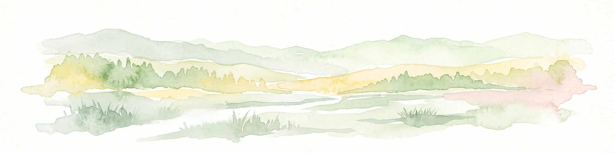
Watercolor painting of a soft, hazy landscape featuring rolling hills and marshy wetlands in muted green and yellow tones.
Nature reserveNorth Rhine-Westphalia
About 8 km away#8 closest

North

Kalltal Nature Reserve: Protected Stream Valley and Eifel Landscape in North Rhine-Westphalia

Ecological corridor with rare bog habitats and wet meadows.

Kalltal protects a stretch of the Kall stream, creating a haven for moisture-dependent plant species and wildlife within the Monschau municipality. Its terrain is defined by soft wet grasslands, peat-rich depressions, and small forest patches that form an intact ecological refuge within the broader German landscape.

Area
0.545 km²
Established
1998
IUCN
IV
MoriAtlas Explorer

Explore the Geographic Boundaries of Naturschutzgebiet Perlenbach-Fuhrtsbachtal

Use MoriAtlas to trace the protected brook valleys, geologic formations, and rare wetland ecosystems of this unique Eifel nature reserve. Gain a deeper understanding of how local topography and persistent groundwater shapes this crucial habitat in North Rhine-Westphalia, Germany.