Mori Atlas logo
Protected landscapeHohes Venn – Eifel Nature Park

Mapped natural terrain and protected area context within the geographic landscape of Belgium.

Hohes Venn – Eifel Nature Park: Belgium's Protected Landscape for Atlas-Driven Geographic Discovery

The Hohes Venn – Eifel Nature Park stands as a significant protected landscape within Belgium, offering a distinct area for geographic exploration and atlas-based discovery. This MoriAtlas entry provides detailed insights into the park's mapped boundaries and its role within the regional geography of Belgium. Users can delve into the park's landscape characteristics and understand its place within the broader context of protected natural areas, making it an essential destination for structured geographic learning.

transboundary protected areapeatland ecosystemborder highlandsnature parkwetland conservationmoorland

Hohes Venn – Eifel Nature Park

Protected landscape

Park overview

Structured park overview, official facts, and landscape profile for Hohes Venn, Eifel Nature Park

Hohes Venn, Eifel Nature Park park facts, protected area profile, and essential visitor context
Review the core facts for Hohes Venn, Eifel Nature Park, including designation, size, terrain, visitor scale, habitats, and operating context in one park-focused overview.

About Hohes Venn, Eifel Nature Park

Hohes Venn – Eifel Nature Park protects a landscape of remarkable ecological and topographical diversity along the Belgian-German border. The park straddles the highland divide between the Meuse and Rhine watersheds, encompassing the extensive peat bogs, heath-covered plateaus, and forested slopes that define the High Fens region. The underlying geology of Devonian-age slates and sandstones has produced a terrain of rounded ridges, steep valleys, and extensive flat-bottomed basins where peat accumulation has proceeded for thousands of years. The park's transboundary location required cooperative management frameworks between Belgian and German conservation authorities, making it one of the pioneering transboundary protected areas in western Europe. The integration of former military training zones, particularly on the German side, has contributed to relatively extensive areas of semi-natural habitat that have developed with limited human interference over decades.

Quick facts and research context for Hohes Venn, Eifel Nature Park

The nature park occupies a significant portion of the High Fens (Hohes Venn) plateau, a geologically distinct highland area formed from ancient Devonian slate and quartzite formations. The region experiences a cool Atlantic-influenced climate with high precipitation, supporting extensive peat accumulation in the valley bottoms and moisture-loving vegetation on the slopes. The park includes portions of the Upper Sauerland and surrounding highland areas, with elevations ranging from approximately 400 to 700 meters above sea level. The protected area encompasses both publicly owned conservation zones and privately held lands managed under cooperative stewardship arrangements.

Park context

Deeper park guide and search-rich context for Hohes Venn, Eifel Nature Park

Hohes Venn, Eifel Nature Park history, landscape, wildlife, and travel context
Explore Hohes Venn, Eifel Nature Park through its history, landscape character, ecosystems, wildlife, conservation priorities, cultural context, and seasonal travel timing in a structured park guide built for atlas discovery and search intent.

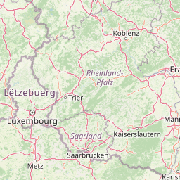
Why Hohes Venn, Eifel Nature Park stands out

The park is best known for its extensive raised bog complexes and heathland habitats that represent some of the most intact wetland ecosystems in western Central Europe. The High Fens plateau supports one of the largest contiguous areas of peatland in Belgium and forms a critical watershed divide between the Meuse and Rhine river basins. The nature park also preserves substantial old-growth beech and oak forests on its slopes, hosting populations of rare woodland birds and specialist bog species. The transboundary character and the integration of former military training grounds into the protected area have created unusual ecological niches and wilderness corridors.

Hohes Venn, Eifel Nature Park history and protected-area timeline

The nature park was established through cooperative agreements between Belgian and German authorities recognizing the shared ecological value of the border highland region. The High Fens area had long served as a collective grazing and resource extraction landscape, with peat cutting, charcoal production, and transhumant grazing shaping the ecology for centuries. The designation of the transboundary nature park reflected growing awareness in the late twentieth century of the need to manage shared ecosystems holistically rather than through separate national frameworks. Significant additions to the protected area resulted from the transfer of former military training grounds to conservation management, creating ecological corridors that had been absent during the period of military use.

Hohes Venn, Eifel Nature Park landscape and geographic character

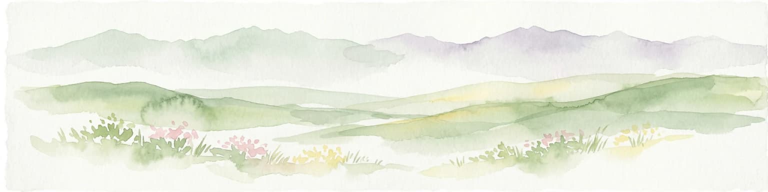
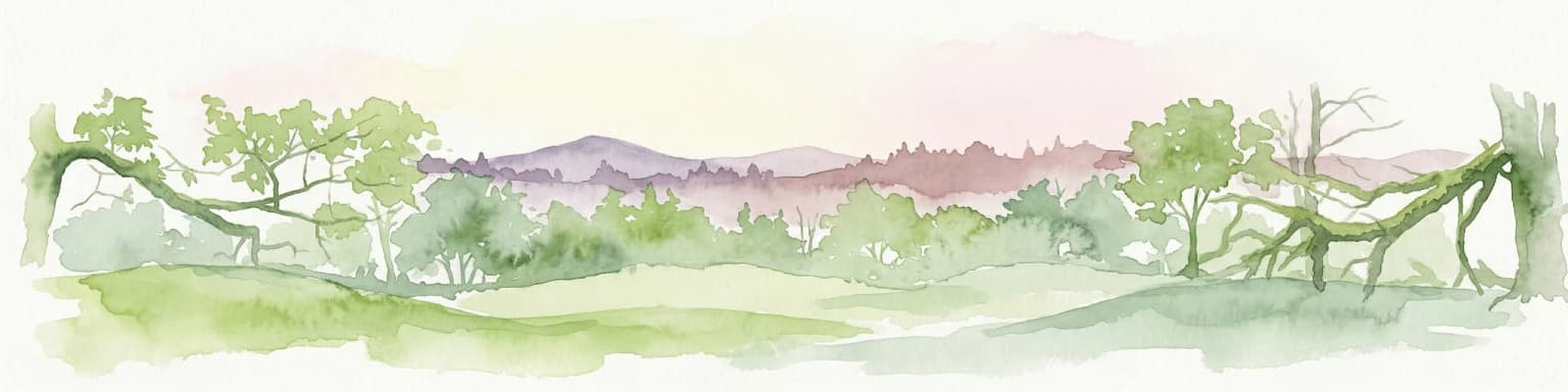
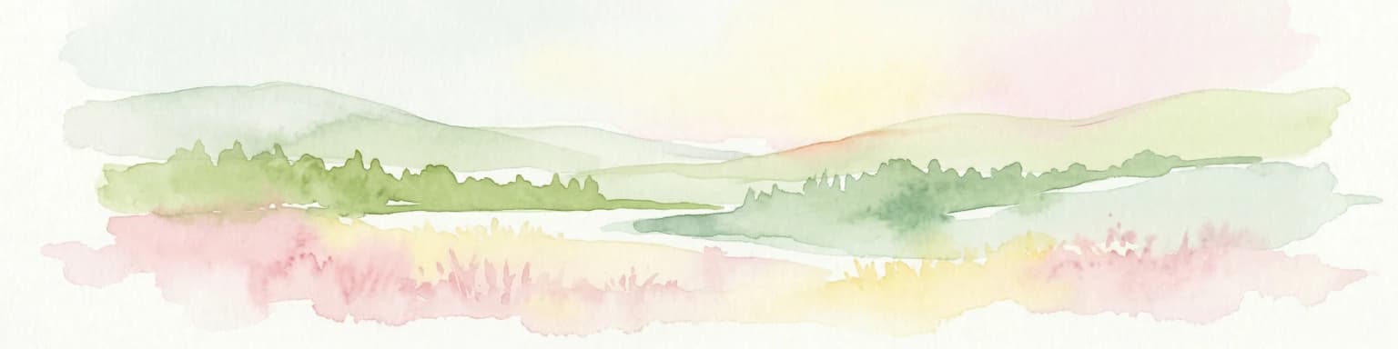
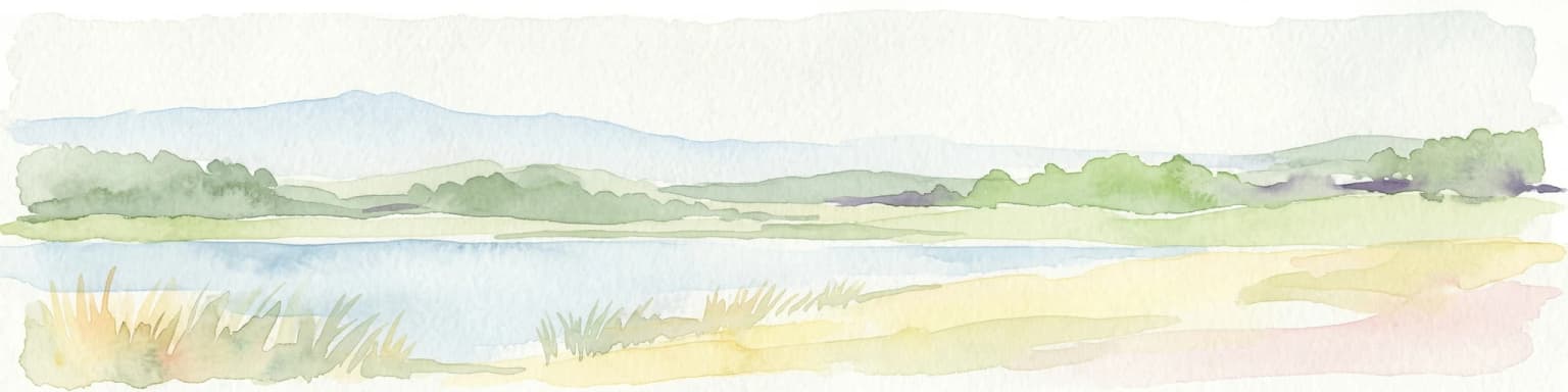
The landscape of Hohes Venn – Eifel Nature Park is defined by its highland character and the contrast between the open, windswept peat bogs of the plateau tops and the steep, forested valleys that dissect the surrounding slopes. The plateau surfaces are dominated by flat or gently undulating terrain with extensive areas of peat soil, peat cut-over sections, and heath communities. The valley sides are typically steep and forested, with streams cutting through narrow gorges before emerging into wider valley bottoms. The geomorphology reflects glacial and periglacial processes that modified the older bedrock, creating the characteristic asymmetric ridges and irregular basins that define the highland topography.

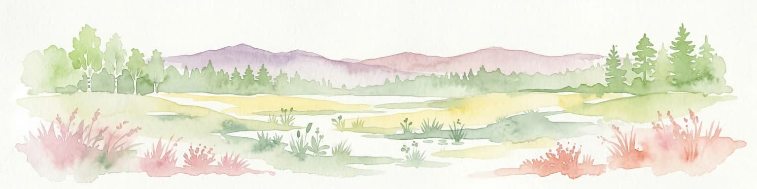
Hohes Venn, Eifel Nature Park ecosystems, habitats, and plant life

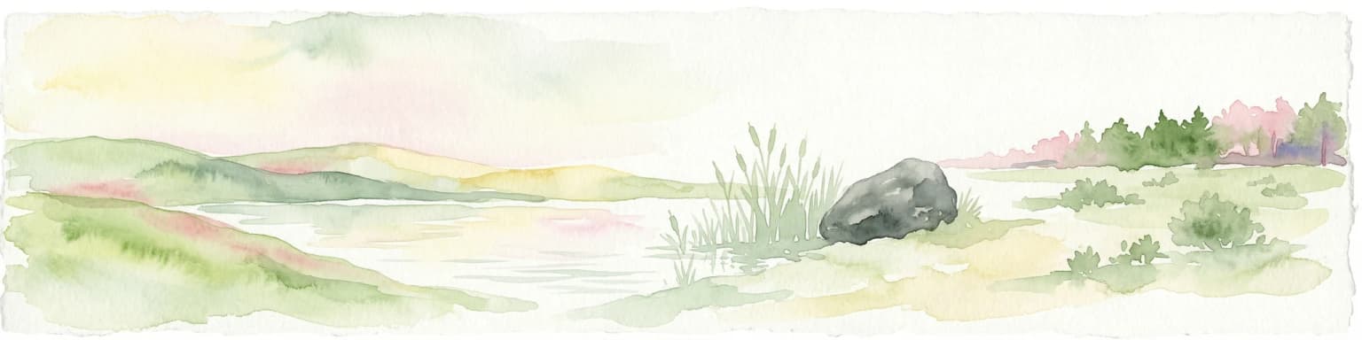
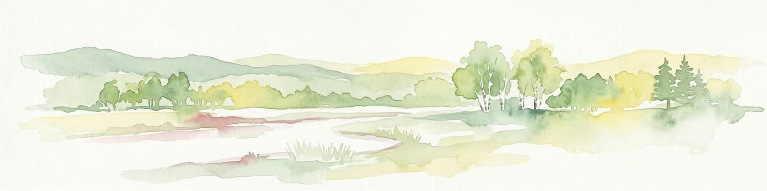
The nature park supports a complex of interlinked habitats that represent some of the most important peatland ecosystems in western Central Europe. The raised bogs of the High Fens are characterized by specialized vegetation communities including sphagnum mosses, cottongrass, cross-leaved heath, and in places, scattered dwarf pine. The surrounding heathlands add to the habitat diversity with heather, bilberry, and western gorse creating a distinctive purple-flowered tapestry in late summer. The forests, though extensively managed in the past, include remnants of old-growth beech forest on north-facing slopes and oak-birch woodlands on the drier ridges. The combination of high altitude, high precipitation, and acid soils creates conditions favoring a distinctive set of species adapted to cool, wet, oligotrophic environments.

Hohes Venn, Eifel Nature Park wildlife and species highlights

The wildlife of the park reflects its position as a relatively intact wilderness corridor in a densely populated European landscape. The peat bogs and heath support specialized bird species including the Eurasian curlew, golden plover, and in appropriate habitats, the very rare black grouse. Raptor species including buzzard, goshawk, and honey buzzard hunt over the open heath and forest edges. The streams and seeps of the valley bottoms support populations of European brook lamprey and brown trout in clean, well-oxygenated waters. The forest areas provide breeding habitat for wood warbler, pied flycatcher, and other migratory songbirds that have declined in more intensively managed landscapes. The larger mammals include red deer, roe deer, and wild boar, with occasional observations of the elusive pine marten and polecat.

Hohes Venn, Eifel Nature Park conservation status and protection priorities

The transboundary nature park designation reflects recognition that the High Fens ecosystem functions as an integrated unit regardless of the international boundary. Conservation efforts have focused on restoring degraded peat extraction areas, re-establishing natural hydrology in drained sections, and expanding the connectivity between isolated habitat patches. The high conservation value of the area has led to designation of core zones under both Belgian and German protected area frameworks, with the transboundary cooperation enabling coordinated management of populations that move across the international boundary. The peat soils store significant quantities of carbon, making the bog restoration efforts also relevant to climate change mitigation objectives.

Hohes Venn, Eifel Nature Park cultural meaning and human context

The High Fens region has historically been a peripheral borderland characterized by small-scale agriculture, peat extraction for fuel, and seasonal grazing by transhumant herders from the lower valleys. The border region saw limited permanent settlement due to the harsh climate and poor soils, but the area was crossed by ancient trade routes linking the Meuse and Rhine valleys. The establishment of the nature park has altered the relationship between local communities and the landscape, shifting from resource extraction to conservation-based tourism and ecological stewardship. The cultural heritage of the region includes traditional farmsteads, former peat-cutting settlements, and historic boundary markers that reflect the long history of the Belgian-German border in this area.

Top sights and standout views in Hohes Venn, Eifel Nature Park

The park's transboundary designation and its extensive peatland complexes make it one of the most significant conservation areas in western Central Europe. The combination of bog, heath, and old-growth forest habitats in a relatively compact area provides exceptional opportunities for ecological study and nature observation. The cooperative management framework between Belgium and Germany has enabled conservation at a landscape scale that would be impossible within a single national framework. The restoration of former military training areas has added ecological value and created wilderness corridors that enhance the overall connectivity of the protected area network in the region.

Best time to visit Hohes Venn, Eifel Nature Park

The park can be visited throughout the year, with each season offering distinct character. Late spring and early summer bring the peak flowering of heath and the best conditions for bird observation, particularly for species associated with open heath and bog habitats. Autumn offers atmospheric conditions over the peat bogs, with morning mists and the golden-brown colors of the heather and graminoids. Winter can bring significant snow to the high plateau, creating a quite different landscape character, though some trails may be difficult to access. The shoulder seasons of spring and autumn generally provide the most comfortable conditions for walking and the most reliable wildlife observation opportunities.

Park location guide

Geography guide, regional context, and park location map for Hohes Venn, Eifel Nature Park

Hohes Venn, Eifel Nature Park park geography, regions, and map view in Belgium
Understand where Hohes Venn, Eifel Nature Park sits in Belgium through a broader geographic reading of the surrounding landscape, nearby location context, and its mapped position within the national park landscape.

How Hohes Venn, Eifel Nature Park fits into Belgium

Belgium is a parliamentary constitutional monarchy and federal state in Northwestern Europe. Located in the Low Countries, it borders the Netherlands, Germany, Luxembourg, France, and the North Sea. The country has three autonomous regions and three official languages, with Brussels as both the capital and largest city. Belgium is a founding member of the European Union and hosts its de facto capital in Brussels.

Wider geography shaping Hohes Venn, Eifel Nature Park in Belgium

Belgium occupies a coastal lowland region in Northwestern Europe known as the Low Countries. It is bordered by the Netherlands to the north, Germany to the east, Luxembourg to the southeast, France to the south, and the North Sea to the west. The country also shares a maritime boundary with the United Kingdom to the northwest.

Map view of Hohes Venn, Eifel Nature Park

Use this park location map to pinpoint Hohes Venn, Eifel Nature Park in Belgium, understand its exact geographic position, and read its mapped placement within the surrounding landscape more clearly.

Pigeon | © OpenStreetMap contributors
Park atlas

Explore the regional geographic context and interconnected protected landscapes across the Eifel highlands.

Nearby Protected Areas and Parks: Continue Exploring Beyond Hohes Venn – Eifel Nature Park
Browse a curated selection of national parks and protected areas geographically close to Hohes Venn – Eifel Nature Park, tracing the transboundary Eifel region in Belgium and Germany. Comparing these adjacent conservation landscapes offers deeper insights into the diverse highland ecosystems, extensive moorlands, and forested river valleys that define this unique Central European borderland.
Watercolor illustration of rolling green hills and meadows with patches of pink and yellow flowers
National parkNorth Rhine-Westphalia

Eifel National Park: North Rhine-Westphalia Protected Area Atlas

Explore mapped boundaries and regional geography.

Gain a structured understanding of Eifel National Park, a key protected area within Germany's North Rhine-Westphalia region. This page focuses on its geographic identity, detailing mapped boundaries and offering context within the state's broader natural landscapes. MoriAtlas enhances your exploration by presenting Eifel National Park as a distinct entity within a larger geographic framework, ideal for atlas-based research and understanding protected land distribution.

Area
107 km²
Established
2004
IUCN
II
Relief
Upland
Watercolor painting showing hills, a body of water, grasses, and a large rock in a landscape scene
National parkLimburg

Hoge Kempen National Park: National Park Protected Landscape and Limburg Geographic Context

Explore mapped boundaries within the Limburg region.

Gain a comprehensive understanding of Hoge Kempen National Park as a distinct protected national park. This resource provides critical insights into its geographic setting within the Limburg region, detailing its mapped boundaries and overall landscape context. It serves as an essential point for atlas exploration, allowing users to appreciate the park's role as a protected natural area and its place within the regional geography of Belgium.

Area
127 km²
Established
2006
IUCN
II
Visitors
1M annual
Watercolor painting of a landscape featuring a stream, trees, and rolling hills
National parkLimburg

De Meinweg National Park: Unique Terraced Landscape and Protected Area in Limburg

National Park with exceptional reptile and amphibian biodiversity.

De Meinweg National Park is a remarkable protected landscape located in the Dutch province of Limburg, distinguished by its rare terraced topography unlike any other in the Netherlands. This national park, covering 1,800 hectares, is a key component of the transboundary Grenspark Maas-Swalm-Nette, bordering Germany. Its ecological significance is underscored by its status as a Natura 2000 site, with notable biodiversity, particularly among reptiles and amphibians, and regenerating raised bogs. MoriAtlas offers a map-centric view of this unique protected area, detailing its geographic context and landscape features for structured discovery.

Area
18 km²
Established
1995
IUCN
II
Relief
Upland
Protected areaBelgium

Burdinale Protected Area: Explore its Mapped Landscape and Geographic Context in Belgium

Mapped protected area discovery within Belgium's geography.

Burdinale Protected Area serves as a key point for understanding Belgium's protected lands from an atlas perspective. This page details the park's specific geographic setting and mapped natural landscape, providing essential context for regional geography exploration. Discover the protected boundaries and terrain features that define Burdinale, contributing to a structured overview of conservation areas.

IUCN
V
Scope
Mixed
Water
Major water bodies
Watercolor painting of a peat bog ecosystem featuring green trees, pink and yellow vegetation, a body of water, and distant mountains
National park

De Groote Peel National Park: Mapped Boundaries of a Unique Raised Bog & Wetland

Protected area with exceptional birdlife and peat landscape.

De Groote Peel National Park represents a crucial protected landscape in the Netherlands, renowned as one of the last substantial raised bogs in Western Europe. Its terrain is characterized by a distinct blend of open lakes formed by historical peat extraction, heathland expanses, and sensitive peat swamps. This Ramsar-designated wetland is a vital habitat for numerous bird species, offering unique opportunities for landscape context and atlas exploration of its ecological significance and mapped geographic features.

Area
13.4 km²
Established
1993
IUCN
II
Relief
Lowland
Watercolor painting of a forested landscape with rolling hills and distant mountains under a pale sky
National parkSaarland

Hunsrück-Hochwald National Park: Saarland Protected Area Atlas and Landscape Context

Explore the mapped terrain and protected geography of this German national park.

Delve into the specific geography and protected landscape of Hunsrück-Hochwald National Park in Saarland. This detail page provides an atlas-centric view of the park's mapped boundaries, regional context, and its role as a national park. It serves as a foundational point for understanding the park's landscape features and its placement within the broader geographic atlas.

Area
100 km²
Established
2015
IUCN
II
Relief
Mountain
Watercolor illustration of a landscape with rolling hills, a river, and green vegetation
Protected areaProvince of Luxembourg

Gaume Natural Park: A Protected Area Defining the Landscape of Province of Luxembourg

Explore its mapped natural landscape and geographic context.

Gaume Natural Park is a protected area offering a unique perspective on the natural landscapes found within Belgium's Province of Luxembourg. As a key geographic entity, it provides a vital component for atlas exploration, showcasing distinct mapped boundaries and regional terrain. Understand its significance as a protected natural space contributing to the Ardennes region's extensive geography, making it an essential point for structured discovery of protected lands.

Area
581.04 km²
Established
2014
IUCN
V
Relief
Lowland
Watercolor painting of a lake, grassy shoreline, distant hills, and trees
National parkLimburg

De Maasduinen National Park: Mapping the Longest River Dune System in the Netherlands

Protected Landscape and Dune Terrain in Limburg

Delve into the geographic identity of De Maasduinen National Park, a vital protected area in Limburg. This page offers detailed insights into its remarkable dune landscape, heathlands, and forests, emphasizing its role within the Dutch natural atlas and its connections to surrounding conservation areas.

Area
45 km²
Established
1996
IUCN
II
Relief
Lowland

Common questions about visiting, size, designation, and location context for Hohes Venn, Eifel Nature Park

Hohes Venn, Eifel Nature Park FAQs for park facts, access, geography, and protected area context
Find quick answers about Hohes Venn, Eifel Nature Park, including protected-area facts, park geography, trail and visitor context, and how the park fits into its surrounding country and regional landscape.
MoriAtlas Explorer

Continue Your Protected Areas Search Across the Global Atlas

Deepen your exploration by continuing the structured search for national parks and protected areas worldwide. Utilize the comprehensive filtering capabilities to compare different conservation landscapes and refine your understanding of global park geography. Discover more about the distribution and characteristics of protected natural areas.

Global natural geography