Mori Atlas logo
Protected areaBurdinale

Explore the protected boundaries and terrain of Burdinale within Belgium's atlas context.

Burdinale Protected Area: Belgium's Mapped Natural Landscape and Regional Geography

Burdinale Protected Area represents a significant natural landscape within Belgium, offering a unique focal point for geographic discovery. This entry provides detailed insights into its mapped boundaries and its place within the country's regional geography, facilitating a structured understanding of protected areas for atlas exploration. Engage with the specific terrain and landscape characteristics that define Burdinale's identity as a protected natural zone.

riversNatura 2000ArdennesBelgian landscapeprotected valleysriver valleys

Burdinale

Protected area

Park overview

Structured park overview, official facts, and landscape profile for Burdinale

Burdinale park facts, protected area profile, and essential visitor context
Review the core facts for Burdinale, including designation, size, terrain, visitor scale, habitats, and operating context in one park-focused overview.

About Burdinale

The Burdinale represents a meaningful hydrological and ecological feature in the landscape of Wallonia, Belgium. Flowing through the Ardennes region in Liège Province, this tributary river traverses a landscape characterized by steep valley walls, mixed woodland, and agricultural areas. The river's relatively short 8-kilometer course connects headwater streams originating near Le Moinil in Waret-l'Évêque to its confluence with the Mehaigne near Huccorgne. The valley's steepness has shaped both the physical character of the landscape and the human settlement patterns in the area, with villages typically positioned on more accessible slopes and valley floors. The Burdinale-Mehaigne area, which encompasses this river valley, has been integrated into European conservation frameworks, reflecting the ecological value of these Ardennes river systems. The river serves as a natural corridor connecting different habitat types and supporting biodiversity within the broader agricultural and forest matrix of the region.

Quick facts and research context for Burdinale

The Burdinale is a tributary river in Belgium, flowing through the province of Liège in the Walloon region. It originates near Waret-l'Évêque and travels approximately 8 kilometers westward to join the Mehaigne river near Huccorgne in Wanze municipality. The river drains a hydrographic basin of 28 square kilometers, creating a steep-sided valley that has been recognized for its ecological value. The Burdinale valley has been designated as part of the Natura 2000 network and is associated with the broader Burdinale-Mehaigne protected area.

Park context

Deeper park guide and search-rich context for Burdinale

Burdinale history, landscape, wildlife, and travel context
Explore Burdinale through its history, landscape character, ecosystems, wildlife, conservation priorities, cultural context, and seasonal travel timing in a structured park guide built for atlas discovery and search intent.

Why Burdinale stands out

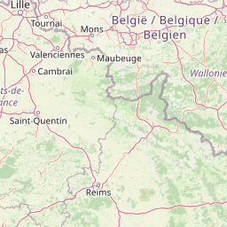
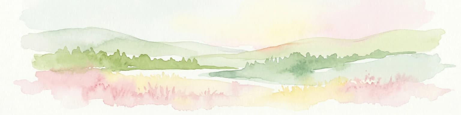
The Burdinale is best known for its steep, well-preserved river valley in the Ardennes region of Belgium. The valley's pronounced topography, combined with its ecological corridors and riparian habitats, has earned it recognition as a Natura 2000 site. The river's relatively short course through a landscape of forested slopes and agricultural valleys makes it a distinctive hydrological feature in Liège Province. While the river itself is modest in length at 8 kilometers, the Burdinale valley represents an important ecological and geographical unit within the Mehaigne river system.

Burdinale history and protected-area timeline

The Burdinale has long been a feature of the landscape in the region now comprising Wanze municipality and the surrounding areas of Liège Province. The river valley likely served as a route for local movement and settlement given its defined course through the otherwise hilly Ardennes terrain. The establishment of the Natura 2000 designation for the Burdinale valley represents the most significant recent milestone in the river's institutional recognition, formalizing its ecological importance within the European Union's conservation framework. The integration into the Burdinale-Mehaigne protected area structure reflects a broader pattern in Belgian environmental management of recognizing river valleys as coherent ecological units warranting coordinated protection. The river's course has remained largely stable, though local land use changes in the watershed have influenced hydrological conditions over time.

Burdinale landscape and geographic character

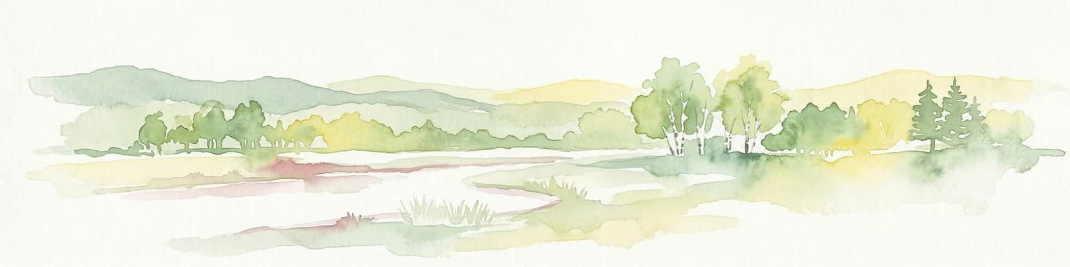
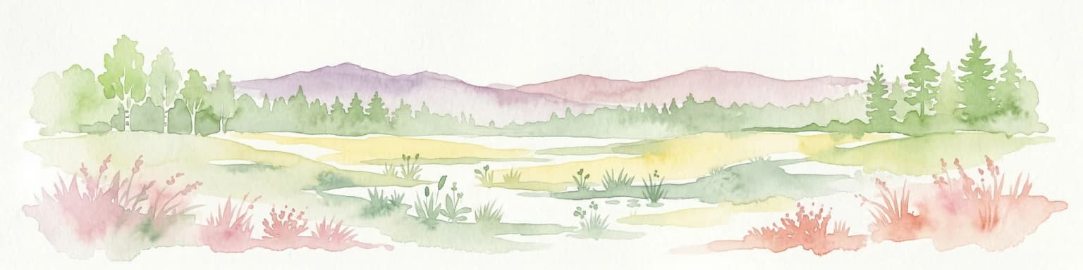
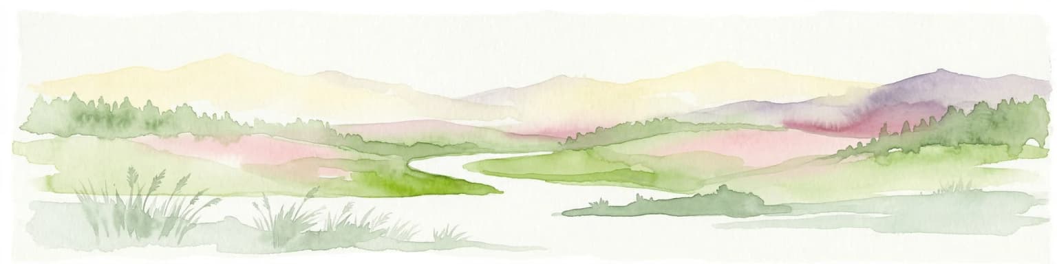
The Burdinale flows through a landscape defined by the steep-sided valleys characteristic of the Belgian Ardennes. The river originates near the border between Waret-l'Évêque and Burdinne, in an area of transitional terrain between higher plateau regions and the valley floor. As the river descends toward its confluence with the Mehaigne, it cuts a relatively narrow valley through the surrounding terrain, with slopes often supporting deciduous woodland and pasture. The hydrographic basin covers approximately 28 square kilometers, with the valley floor and adjacent slopes forming the core of the drainage system. The landscape combines elements of natural river corridor, managed agricultural land in valley bottoms and lower slopes, and forested areas on steeper terrain. This mix creates a heterogeneous landscape with ecological value derived from the combination of aquatic, riparian, and terrestrial habitats.

Burdinale ecosystems, habitats, and plant life

The Burdinale valley supports a range of habitats associated with river systems and the steep valley environment of the Ardennes. The river itself provides aquatic habitat, while the riparian corridor creates a transition zone between the water and surrounding land. The valley's steep slopes often support woodland that provides cover and habitat for various species. The designation of the valley as a Natura 2000 site reflects the presence of species and habitats of European conservation concern within this river system. The broader Burdinale-Mehaigne area encompasses a network of habitats connected by the river corridor, supporting biodiversity in a landscape that combines natural and semi-natural areas with agricultural land. The river valley serves as an ecological corridor linking different parts of the landscape and facilitating species movement through the otherwise fragmented agricultural terrain.

Burdinale wildlife and species highlights

The Burdinale supports wildlife associated with river and valley environments in the Ardennes. The river and its banks provide habitat for aquatic species and species that rely on riparian zones for feeding, breeding, or cover. The adjacent woodlands and semi-natural areas along the valley support bird species and mammals typical of the Ardennes region. While specific species lists are not detailed in available sources, the Natura 2000 designation indicates the presence of species of European conservation concern. The river corridor functions as a movement route for wildlife through the agricultural landscape, connecting habitat patches in the valley system. The combination of flowing water, vegetated banks, and surrounding woodland creates a diversity of microhabitats supporting a range of fauna.

Burdinale conservation status and protection priorities

The Burdinale valley has been recognized for its ecological significance through its inclusion in the Natura 2000 network, a system of protected areas established by the European Union to conserve biodiversity. The valley's designation reflects the presence of European-listed habitats and species that warrant protection. The Burdinale-Mehaigne national park structure, within which the valley falls, provides an institutional framework for coordinated conservation management across the river basin. The 28-square-kilometer hydrographic basin represents the drainage area contributing to the Burdinale system, and management within the protected area framework aims to maintain water quality, preserve habitat connectivity, and support the ecological health of the river valley. This conservation status distinguishes the Burdinale from more heavily modified river systems in the region.

Burdinale cultural meaning and human context

The Burdinale flows through an area of Wallonia with a strong regional identity rooted in the Ardennes. The river valley has historically provided a natural route through the terrain, with villages like Huccorgne and Waret-l'Évêque positioned along its course. The municipality of Wanze, which includes the river's confluence area, represents a local administrative unit with ties to the surrounding agricultural and forested landscape. The valley's steep terrain has influenced settlement patterns, with villages typically located in areas where the landscape allows for agricultural activity. The combination of the river, valley slopes, and surrounding plateau creates a landscape that has been shaped by both natural processes and human activity over time, reflecting the ongoing relationship between local communities and the Ardennes environment.

Top sights and standout views in Burdinale

The Burdinale valley represents a compact but ecologically significant river landscape in the Belgian Ardennes. Its steep valley profile, covered woodland slopes, and the river itself create a distinctive landscape character. The Natura 2000 designation highlights the valley's conservation value, while its position within the Burdinale-Mehaigne protected area provides institutional recognition of its ecological role. The river's relatively short course connects headwater areas to the broader Mehaigne river system, making it a meaningful component of the regional hydrological network. For those interested in Ardennes landscapes, river ecology, or European conservation designations, the Burdinale offers a representative example of a protected river valley in Wallonia.

Best time to visit Burdinale

The Burdinale valley can be appreciated throughout the year, with each season offering different aspects of the landscape. Spring and early summer bring increased water flow and lush vegetation along the river and valley slopes. Autumn creates atmospheric conditions in the forested valley areas, while winter reveals the structure of the landscape more clearly. The river valley is best explored on foot, following paths that traverse the slopes and follow the river course. The surrounding agricultural areas and villages can be visited year-round, though seasonal conditions may affect access to some paths and outdoor recreation opportunities.

Park location guide

Geography guide, regional context, and park location map for Burdinale

Burdinale park geography, regions, and map view in Belgium
Understand where Burdinale sits in Belgium through a broader geographic reading of the surrounding landscape, nearby location context, and its mapped position within the national park landscape.

How Burdinale fits into Belgium

Belgium is a parliamentary constitutional monarchy and federal state in Northwestern Europe. Located in the Low Countries, it borders the Netherlands, Germany, Luxembourg, France, and the North Sea. The country has three autonomous regions and three official languages, with Brussels as both the capital and largest city. Belgium is a founding member of the European Union and hosts its de facto capital in Brussels.

Wider geography shaping Burdinale in Belgium

Belgium occupies a coastal lowland region in Northwestern Europe known as the Low Countries. It is bordered by the Netherlands to the north, Germany to the east, Luxembourg to the southeast, France to the south, and the North Sea to the west. The country also shares a maritime boundary with the United Kingdom to the northwest.

Map view of Burdinale

Use this park location map to pinpoint Burdinale in Belgium, understand its exact geographic position, and read its mapped placement within the surrounding landscape more clearly.

Pigeon | © OpenStreetMap contributors

Location context for Burdinale

Liège Province
Park atlas

Compare Burdinale's River Valley Geography with Surrounding Protected Landscapes in Wallonia

Discover Related National Parks and Protected Areas near Burdinale in Belgium's Ardennes
Explore other protected areas and national parks across Belgium, tracing the diverse landscapes surrounding Burdinale's river valley in the Ardennes region. Compare Burdinale's Natura 2000 site status and hydrographic features with other conservation efforts, mapping regional park geography and ecological corridors in Wallonia.
National parkLimburg

Hoge Kempen National Park: National Park Protected Landscape and Limburg Geographic Context

Explore mapped boundaries within the Limburg region.

Gain a comprehensive understanding of Hoge Kempen National Park as a distinct protected national park. This resource provides critical insights into its geographic setting within the Limburg region, detailing its mapped boundaries and overall landscape context. It serves as an essential point for atlas exploration, allowing users to appreciate the park's role as a protected natural area and its place within the regional geography of Belgium.

Area
67 km²
Established
2006
IUCN
II
Watercolor illustration of rolling green hills and meadows with patches of pink and yellow flowers
National parkNorth Rhine-Westphalia

Eifel National Park: North Rhine-Westphalia Protected Area Atlas

Explore mapped boundaries and regional geography.

Gain a structured understanding of Eifel National Park, a key protected area within Germany's North Rhine-Westphalia region. This page focuses on its geographic identity, detailing mapped boundaries and offering context within the state's broader natural landscapes. MoriAtlas enhances your exploration by presenting Eifel National Park as a distinct entity within a larger geographic framework, ideal for atlas-based research and understanding protected land distribution.

Area
107 km²
Established
2004
IUCN
II
Relief
Upland
Watercolor painting of a landscape featuring a stream, trees, and rolling hills
National parkLimburg

De Meinweg National Park: Unique Terraced Landscape and Protected Area in Limburg

National Park with exceptional reptile and amphibian biodiversity.

De Meinweg National Park is a remarkable protected landscape located in the Dutch province of Limburg, distinguished by its rare terraced topography unlike any other in the Netherlands. This national park, covering 1,800 hectares, is a key component of the transboundary Grenspark Maas-Swalm-Nette, bordering Germany. Its ecological significance is underscored by its status as a Natura 2000 site, with notable biodiversity, particularly among reptiles and amphibians, and regenerating raised bogs. MoriAtlas offers a map-centric view of this unique protected area, detailing its geographic context and landscape features for structured discovery.

Area
18 km²
Established
1995
IUCN
II
Relief
Upland
Watercolor illustration of a landscape with rolling hills, a river, and green vegetation
Protected areaProvince of Luxembourg

Gaume Natural Park: A Protected Area Defining the Landscape of Province of Luxembourg

Explore its mapped natural landscape and geographic context.

Gaume Natural Park is a protected area offering a unique perspective on the natural landscapes found within Belgium's Province of Luxembourg. As a key geographic entity, it provides a vital component for atlas exploration, showcasing distinct mapped boundaries and regional terrain. Understand its significance as a protected natural space contributing to the Ardennes region's extensive geography, making it an essential point for structured discovery of protected lands.

Area
581.04 km²
Established
2014
Relief
Lowland
Scope
Terrestrial
Watercolor painting of a peat bog ecosystem featuring green trees, pink and yellow vegetation, a body of water, and distant mountains
National park

De Groote Peel National Park: Mapped Boundaries of a Unique Raised Bog & Wetland

Protected area with exceptional birdlife and peat landscape.

De Groote Peel National Park represents a crucial protected landscape in the Netherlands, renowned as one of the last substantial raised bogs in Western Europe. Its terrain is characterized by a distinct blend of open lakes formed by historical peat extraction, heathland expanses, and sensitive peat swamps. This Ramsar-designated wetland is a vital habitat for numerous bird species, offering unique opportunities for landscape context and atlas exploration of its ecological significance and mapped geographic features.

Area
13.4 km²
Established
1993
IUCN
II
Relief
Lowland
National park

De Zoom, Kalmthoutse Heide Cross-Border Park: Transboundary National Park & Heathland Atlas

Explore mapped protected boundaries and regional geography.

This page details the De Zoom, Kalmthoutse Heide Cross-Border Park, a significant national park that merges Belgian and Dutch protected territories. It is recognized for its expansive heathland, a crucial ecosystem in the Benelux region, offering a rich visual and ecological study. The park's mapped landscape context reveals its unique geography, from dry heathlands to Ramsar-designated wetlands, providing valuable insight for atlas-based exploration of protected areas. Understand the park's protected area identity and its role within the regional landscape.

Area
37.5 km²
Established
2001
IUCN
II
Watercolor illustration of rolling hills, a winding river, and fields with distant mountains
National parkNorth Brabant

Van Gogh National Park: National Park in North Brabant with Dune Landscapes

Explore mapped protected areas and regional geography.

Van Gogh National Park is a significant protected landscape in North Brabant, Netherlands, covering approximately 1,200 square kilometers. This national park is distinguished by its extensive drift sand dune systems, notable heathlands, and wooded valleys, offering a diverse terrain within the Dutch context. Named in tribute to Vincent van Gogh, it merges rich natural landscapes with cultural heritage, serving as a model for collaborative conservation and regional development, all mapped for detailed atlas exploration.

Area
1,200 km²
Established
2024
IUCN
II
Relief
Lowland
Watercolor artwork showing sand dunes, scattered trees, distant mountains, and soft sky
National park

De Loonse en Drunense Duinen National Park: Explore Dutch Protected Sand Drift Landscapes and Heathlands

National Park with unique living sand drift and dune terrain.

Navigate the geographic contours and protected land boundaries of De Loonse en Drunense Duinen National Park, a premier Dutch natural area. This national park is celebrated for its extensive living sand drift, one of the largest in Northern Europe, alongside significant heathlands and coniferous forests. Gain a structured understanding of its landscape character and its role within regional geography through detailed map context and atlas exploration tools.

Area
35 km²
Established
2002
IUCN
II
Relief
Lowland

Common questions about visiting, size, designation, and location context for Burdinale

Burdinale FAQs for park facts, access, geography, and protected area context
Find quick answers about Burdinale, including protected-area facts, park geography, trail and visitor context, and how the park fits into its surrounding country and regional landscape.
MoriAtlas Explorer

Continue Your Protected Areas Search Across the Global Atlas

Deepen your exploration by continuing the structured search for national parks and protected areas worldwide. Utilize the comprehensive filtering capabilities to compare different conservation landscapes and refine your understanding of global park geography. Discover more about the distribution and characteristics of protected natural areas.

Global natural geography