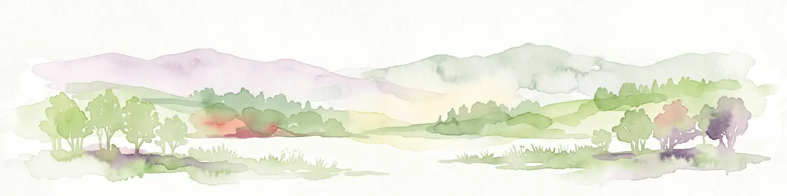
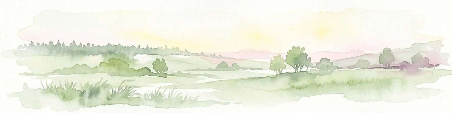
A mosaic of dry valleys, juniper heath and traditional farmland on the Swabian Alb
Nellingen Protected Landscape
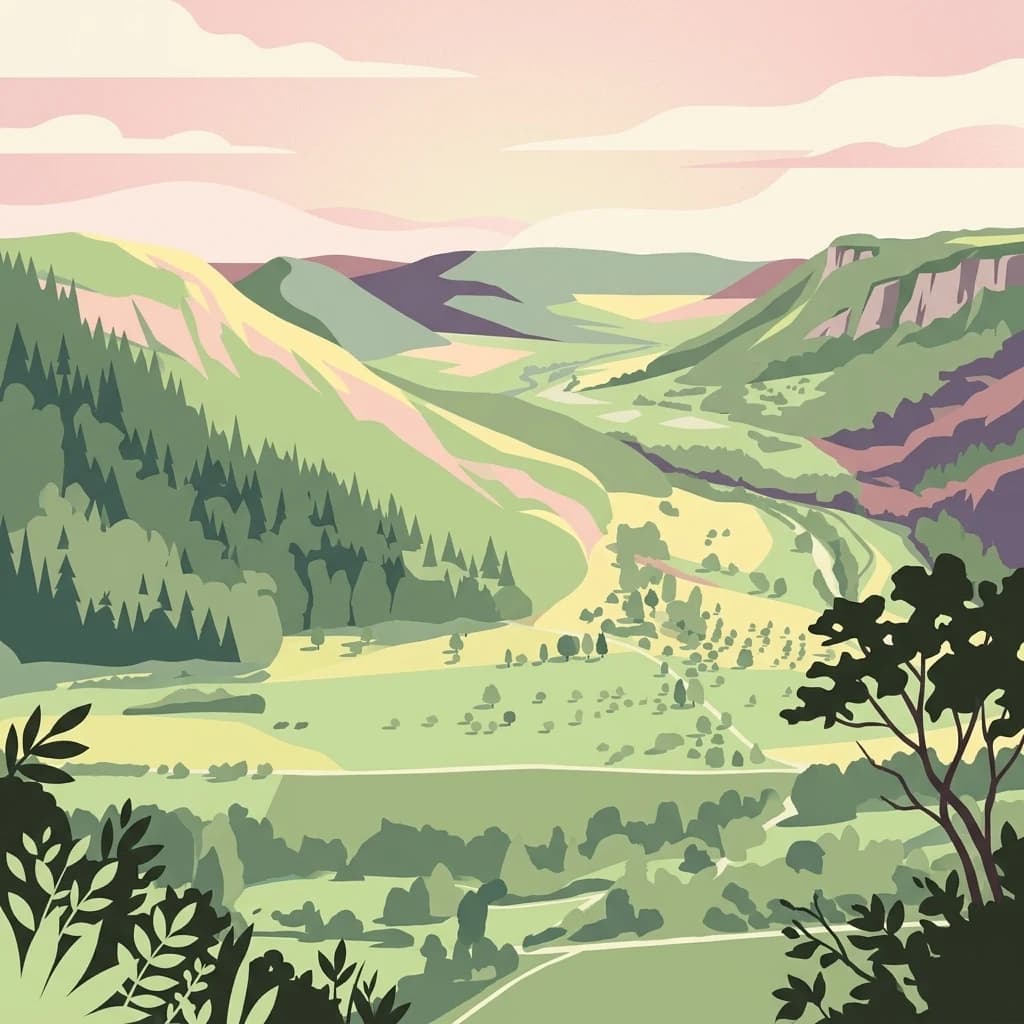
Nellingen Protected Landscape is a designated conservation area in the eastern part of Baden-Württemberg, Germany, covering roughly 1,520 hectares of land grouped around the municipality of Nellingen in the Alb-Donau-Kreis district. The area lies on the Swabian Alb, within the natural regions known as the Mittlere Kuppenalb and Albuch und Härtsfeld, where the characteristic geology of the Jurassic plateau has been weathered into a distinctive pattern of Kuppen (hilltops), dry valleys (Trockentäler) and shallow depressions.
The protection of this landscape is centered on its cultural and ecological value as a traditional working countryside. Field hedges, woodland patches, dry-stone walls, field margins, juniper heaths (Wacholderheiden), nutrient-poor grasslands (Magerrasen), scattered trees, tree groups and orchards (Streuobstwiesen) form a mosaic that supports both biodiversity and the visual character of the region. These semi-natural habitats, alongside the unspoiled scenery, make the area important as a local and regional recreation space.
The protected landscape borders a number of other conservation designations, including the Mönchsteig nature reserve to the south, the Vögelestal und Oberes Lontal nature reserve to the north, and shares territory with the Natura 2000 site Kuppenalb bei Laichingen und Lonetal. Together, these connected designations reflect the broader conservation significance of the Kuppenalb in central Swabia.