Mori Atlas logo
Park earthquake history

Trace historical earthquake records, magnitudes, and epicentre distances near this protected wetland reserve.

Recorded Historical Seismic Activity and Earthquake Catalogue for Nissum Fjord, Denmark

This collection presents a catalogue of historical seismic events recorded in the vicinity of Nissum Fjord in Region Midtjylland, Denmark. Every record is associated by geographic proximity to the protected area based on reported epicentre coordinates. Review dates, magnitude readings, and relative distances for each event to observe the regional seismic history within this specific coastal landscape.

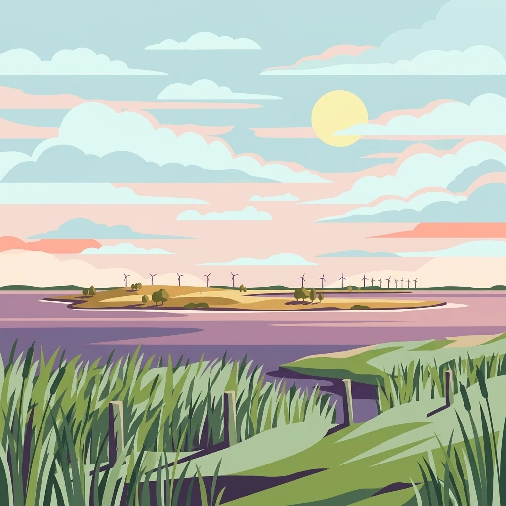
A flat-style digital illustration of a calm, purple-toned lagoon with grassy banks in the foreground and a distant island with wind turbines under a soft sunrise or sunset sky.

A shallow Danish coastal lagoon protected for its wetlands, dunes, and rich migratory birdlife.

Nissum Fjord

Nissum Fjord is a large, shallow brackish lagoon on the western coast of central Jutland in Denmark, separated from the North Sea by a narrow strip of dunes known as Bøvling Klit. The protected area extends across roughly 11,000 hectares and includes the lagoon itself, surrounding dune systems, meadows, heathland, small lakes, and the uninhabited island of Fjandø, making it one of the most significant wetland complexes in western Denmark. The lagoon is divided into three basins of about 64 square kilometers in total, with an average depth of only one meter, creating an exceptionally productive environment for aquatic plants and waterbirds. Several streams, including Storå, Ramme Å, and Flynder Å, flow into the fjord, sustaining freshwater lake habitats inland such as Indfjorden, Byn, Søndersund, and Tang Sø. The site is designated both as a Natura 2000 habitat area and a bird protection area, and is also recognized as a Ramsar wetland of international importance. It functions as a critical staging and breeding area for migratory waterbirds along Denmark's western flyway, and supports protected dune, heath, meadow, and lagoon habitats that together form a distinctive coastal landscape.

Location
Denmark
Park type
Protected area
Established
2011
Area
109.7 km²
Nissum Fjord Protected Area Geography

Examine Nissum Fjord earthquake events by date and distance

Explore historical earthquake records in the area around Nissum Fjord

Place reported earthquake epicentres around Nissum Fjord’s low-lying 109.67 km² coastal and marine landscape in Region Midtjylland; search and sort the records by their published event details, compare calculated distance from the protected area, and open the source for full context. Proximity in this catalogue is not evidence that an earthquake occurred within the fjord or a statement of current hazard.

Sort by
Magnitude
Location

This page describes catalogued earthquakes associated with the park by epicentre location and distance. It does not establish causation, assess current danger, or predict future earthquakes.

No earthquake records match the current filters

Park atlas

Continue after Nissum Fjord earthquake records to more parks

Discover other protected destinations beyond Nissum Fjord records

Nissum Fjord anchors its earthquake catalogue before readers continue beyond one Danish brackish coastal lagoon and Ramsar wetland into wider park discovery. The following destinations do not signify shared lagoon geography, Natura 2000 status, proximity, geology, earthquake records, hazards, risk, bird habitat, or equivalent documentation.
Nature reserveRegion Midtjylland
1.1 km away#1 closest

South

Husby Sø og Nørresø Nature Reserve: Protected Wetland Landscape in Region Midtjylland

Coastal plain geography and shallow lake habitat mapping

Situated in the coastal landscape of Region Midtjylland, Husby Sø og Nørresø represents a critical nature reserve defined by two interconnected shallow lakes. The protected area features extensive reedswamp margins, bog vegetation, and a human-modified marine foreland, hosting high aquatic plant diversity that remains central to the region's conservation identity.

Area
3.52 km²
Established
2011
Relief
Lowland
Climate
Temperate
Protected areaRegion Midtjylland
10 km away#2 closest

South

Kimmelkær Landkanal: Mapped Protected Area and Regional Geography in Midtjylland

A rare aquatic habitat within the Ringkøbing Fjord water system.

Focusing on a narrow canal corridor, Kimmelkær Landkanal serves as a vital protected area for threatened aquatic species. Its geography is characterized by soft sandy sediments and a distinct parallel channel structure, connecting small watercourses to the larger wetland ecosystems of the Stadil Fjord catchment area.

Area
0.03 km²
Established
2011
Relief
Lowland
Scope
Terrestrial
Protected areaDenmark
About 12 km away#3 closest

South

Natura 2000 area no. 66 Stadil Fjord og Vest Stadil Fjord Coastal Wetland Complex

Protected lagoon and dune landscape in western Jutland, Denmark.

Natura 2000 area no. 66 Stadil Fjord og Vest Stadil Fjord comprises a significant coastal lagoon system, encompassing shallow brackish waters, reed beds, and surrounding dune heaths. This protected area supports a high degree of botanical diversity and provides essential habitat for various bird species, serving as a primary example of Denmark's complex hydrological and coastal geography.

Area
69.03 km²
Relief
Lowland
Climate
Temperate
Access
Easy access
Nature reserveCentral Denmark Region
About 14 km away#4 closest

Southeast

Heder og klitter på Skovbjerg Bakkeø, Idom Å og Ormstrup Hede Nature Reserve Atlas and Map

Mapping glacial moraine and inland dune landscapes in the Central Denmark Region

The protected area surrounding Heder og klitter på Skovbjerg Bakkeø, Idom Å og Ormstrup Hede comprises extensive inland dunes and heathlands anchored by a Saalian moraine hill island. This site serves as a crucial ecological link, featuring restored riparian stream habitats and rare forest remnants that provide deep insight into Denmark’s post-glacial geological development.

Area
22.14 km²
Established
1985
Relief
Lowland
Scope
Terrestrial
Protected areaDenmark
15 km away#5 closest

North

Nissum Bredning Protected Area: Geography and Coastal Mapping in Denmark

Shallow bay ecosystems, glacial cliffs, and Limfjorden sand flats.

Nissum Bredning is a broad, low-lying basin in western Denmark known for its extensive shallow sand flats, including Fjordgrund and Gåseholm. The protected area encompasses a diverse coastal mosaic of brackish lagoons, salt meadows, and the distinctive Toftum Bjerge glacial cliff. This geography offers a clear view into the intersection of active North Sea currents and sheltered inland fjord environments.

Area
200 km²
Relief
Lowland
Climate
Temperate
Access
Easy access
A pale watercolor landscape painting of a quiet fjord with soft green and pink marshy vegetation in the foreground and rolling hills in the background.
Protected areaRegion Midtjylland
23 km away#6 closest

South

Ringkøbing Fjord og Nymindestrømmen: Coastal Lagoon and Protected Wetland Geography

A vast Danish wetland complex in Region Midtjylland.

Ringkøbing Fjord og Nymindestrømmen defines the Danish west coast through its unique combination of brackish lagoons, salt meadows, and dune belts. This protected area integrates the Skjern Å river delta and the freshwater-lagoon chain of Nymindestrømmen, creating an internationally significant habitat for diverse waterbirds and migratory species across its multi-layered terrain.

Area
276.84 km²
Relief
Lowland
Climate
Temperate
Scope
Mixed
Protected areaRegion Midtjylland
About 23 km away#7 closest

Northeast

Natura 2000-område nr. 62 Veno, Veno Sund: Protected Coastal and Marine Landscape Map

Regional geography and protected coastal habitat overview

Analyze the protected area characteristics of Natura 2000-område nr. 62 Veno, Veno Sund, where shallow brackish sound meets dune heaths and calcareous grasslands. This site provides essential habitat for waders and marine mammals within the broader Limfjorden ecosystem in Region Midtjylland.

Area
29.26 km²
Established
2011
Relief
Lowland
Climate
Temperate
A soft watercolor painting depicting a flat, open coastal landscape with rolling, pale-colored dunes in the distance and muted green grasses in the foreground against a white background.
Protected areaDenmark
27 km away#8 closest

North

Agger Tange Protected Area: Coastal Peninsula and Wetland Geography in Northwestern Denmark

Mapping the North Sea and Limfjorden interface

Agger Tange is a significant coastal landform in northwestern Denmark, characterized by its exposed western dunes and sheltered eastern salt marshes. This protected landscape documents the dramatic influence of storm surges on the Jutland coast, resulting in a complex network of lagoons and tidal flats that support critical bird habitats.

Area
24 km²
Established
1984
Relief
Lowland
Scope
Mixed
MoriAtlas Explorer

Trace the Protected Boundaries and Coastal Geography of Nissum Fjord

Deepen your understanding of Nissum Fjord through a focused look at its mapped terrain, wetland basins, and dune structures. This MoriAtlas entry provides essential geographic context for one of Denmark's most significant coastal habitats, highlighting how protected environments shape the character of the western Jutland landscape.