Mori Atlas logo
Park earthquake history

A catalogue of historical earthquake records mapped by distance to protected prairie boundaries.

Recorded Seismic Activity and Earthquake History Near Oglala National Grassland, Nebraska

This collection provides a structured review of recorded seismic events occurring within the regional geography of Oglala National Grassland. Each entry catalogs historical earthquake data including event timing, magnitude, and epicentre proximity to the grassland terrain. The dataset serves as a factual resource for understanding the seismic context of the Pine Ridge region and surrounding badlands without assessing current ground hazard or geological risk.

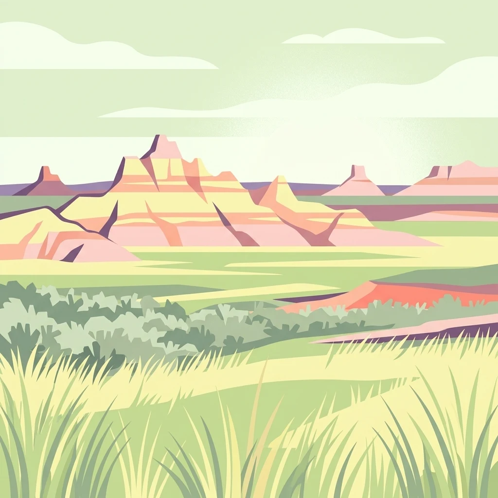
A digital illustration of layered badlands rock formations rising above a vast, flat prairie landscape with grasses in the foreground.

Shortgrass prairie and Pine Ridge badlands in northwest Nebraska.

Oglala National Grassland

Oglala National Grassland is a federally protected National Grassland in the far northwest corner of Nebraska, occupying parts of northern Sioux County and northwestern Dawes County near the state borders with South Dakota and Wyoming. It covers nearly 95,000 acres of largely shortgrass prairie broken by striking badlands formations, and is the only place in Nebraska where the Pierre Shale is exposed at the surface. The grassland is administered by the U.S. Forest Service, the same agency that manages the nearby Nebraska and Samuel R. McKelvie National Forests as well as the Buffalo Gap and Fort Pierre National Grasslands, with shared offices in Chadron. Beyond its open rangeland and badlands scenery, the area preserves significant cultural and natural heritage, from archaeological bison kill sites to a wide range of prairie wildlife and migratory birds. The name itself honors the Oglala Lakota people whose historical homeland includes this landscape.

Location
United States of America
Park type
Protected landscape
Area
382.5 km²
Oglala National Grassland Map and Geography

Review Oglala National Grassland records by distance

Browse historical earthquake data near Oglala National Grassland

Oglala National Grassland spans 382.5 km² of arid United States upland, including valleys, sparse forest, grassland, lakes, and rivers. Review linked earthquakes through their reported time, magnitude, focal depth, place, citation, and separation from the grassland; inclusion does not establish damage, present risk, or prediction.

Sort by
Magnitude
Location

This page describes catalogued earthquakes associated with the park by epicentre location and distance. It does not establish causation, assess current danger, or predict future earthquakes.

No earthquake records match the current filters

Park atlas

Continue past Oglala National Grassland earthquake data

Discover more protected parks after Oglala National Grassland

Oglala National Grassland spans 382.5 km² of arid United States upland, valleys, sparse forest, grassland, lakes, and rivers. Its related links broaden seismic discovery but do not establish common terrain, similar impacts, present hazard, or likely future events.
A watercolor painting showing a rolling landscape with green hills, patches of coniferous forest, and a soft, hazy sky.
Protected landscapeNebraska
About 39 km away#1 closest

East

Nebraska National Forest: Geographic Context and Protected Landscape Boundaries

Mapped terrain across Sandhills and Pine Ridge districts.

This protected landscape is defined by its unusual dual-district structure, encompassing both the historic tree-planting experiments in the central Sandhills and the rugged, native pine-covered canyons of the Pine Ridge. Discover how these distinct environmental zones create a unique ecological footprint within the broader Nebraska geography through detailed map-based insights.

Area
574.1 km²
Established
1908
Relief
Upland
Climate
Temperate
National parkCuster County
57 km away#2 closest

North

Wind Cave National Park: A National Park with Distinct Protected Landscape and Geographic Identity

Explore the mapped terrain and regional context of this US protected area.

Wind Cave National Park represents a key protected area within Custer County, offering users a deep dive into its unique geography and landscape characteristics. As a designated national park in the United States, its mapped boundaries provide crucial context for understanding its ecological and geological significance. This MoriAtlas entry facilitates detailed exploration, focusing on the protected land's identity and its role within the wider regional geography and natural landscape.

Area
136.97 km²
Established
1903
IUCN
II
Visitors
489.4K annual
Protected landscapeWyoming
62 km away#3 closest

Northwest

Thunder Basin National Grassland: A Protected Landscape in the Wyoming Powder River Basin

Mapping the prairie and sagebrush mosaic of northeastern Wyoming

Thunder Basin National Grassland is a sprawling, federally protected territory in northeastern Wyoming that functions as a critical ecotone between the Great Plains and the Rocky Mountain region. Its landscape is characterized by wide-open vistas, intricate sedimentary bluffs, and diverse habitats shaped by natural disturbance patterns and ongoing grassland management. This record outlines the geography, terrain features, and protected boundaries that define this essential segment of the American West.

Area
2,215.65 km²
Established
1960
Relief
Upland
Climate
Arid
National parkSouth Dakota
71 km away#4 closest

Northeast

Badlands National Park: South Dakota's Premier National Park for Atlas Exploration

Explore mapped terrain and protected landscape boundaries.

Badlands National Park stands as a key protected area within the geography of South Dakota, offering a distinct natural landscape for detailed atlas exploration. This National Park's unique terrain and mapped boundaries provide crucial context for understanding regional geography and conservation landscapes. Engage with structured information that highlights the park's geographic identity, making it an essential destination for those seeking to map and comprehend protected natural areas.

Area
982.4 km²
Established
1939
IUCN
II
Visitors
1M annual
A pale, minimalist watercolor illustration of a wide, open grassy landscape with soft rolling hills in the background and light green vegetation in the foreground.
Protected landscapeSouth Dakota
About 72 km away#5 closest

Northeast

Buffalo Gap National Grassland: Regional Geography and Protected Prairie Boundaries

Mapping the vast grasslands of southwestern South Dakota

Spanning across four counties in southwestern South Dakota, Buffalo Gap National Grassland serves as a premier example of a working Great Plains landscape. The region is defined by its immense scale, where undulating mixed-grass prairie transitions into striking, chalky badlands. This area is recognized for its vital conservation role, including successful species recovery programs, and stands as a foundational feature of the regional geological and ecological map.

Area
2,410.77 km²
Established
1960
Relief
Upland
Climate
Temperate
National parkCherry County
171 km away#6 closest

East

Samuel R. McKelvie National Forest: Mapping Nebraska's Sandhills Protected Landscape

An atlas view of rolling dune grasslands and forest mosaics in Cherry County.

Located in the heart of Cherry County, Samuel R. McKelvie National Forest presents a distinct landscape where prairie grasses meet planted pine islands. This overview examines the forest's placement within the Sandhills region, highlighting its role as a protected grassland unit near the shores of Merritt Reservoir and the Snake River corridor.

Area
469.76 km²
Established
1971
Relief
Upland
Climate
Temperate
A soft watercolor painting of a wide, rolling grassy landscape with a pale sky and hints of a treeline in the distance.
Protected landscapeColorado
199 km away#7 closest

South

Pawnee National Grassland: Protected Landscape and Great Plains Atlas

Shortgrass prairie and geologic remnants in Colorado.

Pawnee National Grassland represents a significant protected area within northeastern Colorado, spanning vast semiarid plains and striking erosional formations known as the Pawnee Buttes. This atlas overview details the park boundaries, regional drainage systems of the South Platte River basin, and the ecological value of these native grass communities and scarp woodlands.

Area
781.3 km²
Established
1960
Relief
Upland
Climate
Arid
A horizontal watercolor painting showing a range of purple and reddish-toned mountains in the distance, behind rolling green fields and a pale pinkish waterway in the foreground.
Protected landscapeColorado
245 km away#8 closest

Southwest

Roosevelt National Forest: Mapping Wilderness and Protected Landscapes in Northern Colorado

Regional geography, river corridors, and alpine mountain terrain

Roosevelt National Forest encompasses a significant protected landscape across Larimer, Boulder, Gilpin, and Jefferson counties. The forest features a complex terrain of deep canyons, forested plateaus, and protected wilderness areas that form a scenic buffer along the eastern side of the Continental Divide and Rocky Mountain National Park.

Area
3,293.33 km²
Established
1902
Relief
Mountain
Climate
Subpolar
MoriAtlas Explorer

Continue Exploring the Protected Landscape of Oglala National Grassland

Deepen your understanding of Oglala National Grassland by examining its unique badlands topography and prairie ecosystem. MoriAtlas provides a structured look at the protected boundaries and geological features that define this essential Nebraska landscape.