Mori Atlas logo
Park earthquake history

A historical catalogue of regional seismic events associated by proximity to the protected landscape

Recorded Earthquake History and Seismic Records Near Ostoja Środkowojurajska

Explore the structured repository of recorded seismic activity associated with the geographic coordinates of Ostoja Środkowojurajska. This catalogue provides access to historical event data, including measured magnitudes, event dates, and calculated epicentre distances to the protected area boundaries. Each entry integrates available source data to provide a transparent overview of regional seismic records in the Silesian Voivodeship.

Related tags

Natura 2000Site of Community ImportanceKraków-Częstochowa UplandPolish Jurabeech forest

A Natura 2000 habitat refuge on Poland's Kraków-Częstochowa Upland.

Ostoja Środkowojurajska

Ostoja Środkowojurajska is a Polish Natura 2000 site classified as a Site of Community Importance under the EU Habitats Directive. It lies in the central part of the Kraków-Częstochowa Upland, just south of the town of Ogrodzieniec, and overlaps almost entirely with the Orlich Gniazd Landscape Park and its protective buffer zone. The area protects a mosaic of habitats typical of the Polish Jura, including inland dunes with sandy grasslands, dry heaths, xerothermic swards, Molinia meadows, herb-rich forest edges, and a suite of beech forest types ranging from acidic lowland beechwoods to fertile Sudeten beechwoods and orchid-rich Cephalanthero-Fagenion stands. Limestone cliff faces and unvisited caves add a karst character to the refugium. Its conservation value centers on the combination of calcareous and acidic forest types, open dry habitats, and several rare or strictly protected species of bats, amphibians, butterflies, and orchids that depend on the mosaic of woodland, rock, and open grassland found here.

Location
Poland
Park type
Nature reserve
Established
2009
Area
57.7 km²
Ostoja Środkowojurajska Protected Area Atlas

Filter Ostoja Środkowojurajska events by date and distance

Examine recorded earthquakes near Ostoja Środkowojurajska

Ostoja Środkowojurajska covers 57.676 km² of Polish upland cliffs, forest, wetlands, dunes, caves, and karst. The linked seismic observations retain their own timing, magnitude, depth, location wording, source, and distance from the site; listing does not prove cave effects, boundary inclusion, or a future threat.

Sort by
Magnitude
Location

This page describes catalogued earthquakes associated with the park by epicentre location and distance. It does not establish causation, assess current danger, or predict future earthquakes.

No earthquake records match the current filters

Park atlas

Move beyond Ostoja Środkowojurajska earthquake records

Find other protected destinations after Ostoja Środkowojurajska

Ostoja Środkowojurajska spans 57.676 km² of Polish cliffs, majority forest, wetlands, dunes, caves, and karst. Its related park route broadens earthquake discovery, but each destination’s event evidence must stand alone and does not share this site’s terrain, effects, danger, or recurrence.
Watercolor painting depicting a soft-focus landscape with light sandy ground in the foreground, a line of green trees in the midground, and layered rolling hills in the background.
Protected areaMałopolskie
2.9 km away#1 closest

South

Pustynia Błędowska: Protected Inland Sand Dunes and Geographic Map Context in Poland

An expansive shifting sand landscape within the Małopolskie region

Pustynia Błędowska stands as a unique protected site in Poland, defined by its extensive quartz sand sheets and inland dune formations. This landscape offers a compelling look at the intersection of anthropogenic history and ecological restoration, supporting rare sand-dwelling flora and invertebrates within a specialized grassland habitat.

Area
33 km²
Established
2004
Relief
Upland
Climate
Temperate
Nature reserveLesser Poland Voivodeship
About 8.2 km away#2 closest

Southeast

Rezerwat przyrody Michałowiec: Protected Forest and Biodiversity in Lesser Poland

A vital beech woodland and orchid habitat in the Polish Jura

Rezerwat przyrody Michałowiec preserves a significant fragment of fertile Carpathian beech forest within the limestone-rich Olkusz Upland. Covering 12 hectares, this nature reserve is a critical component of the regional conservation mosaic, protecting rare orchid populations and maintaining the ecological continuity of the broader Orlich Gniazdy Landscape Park terrain.

Area
0.121 km²
Established
1959
Relief
Upland
Scope
Terrestrial
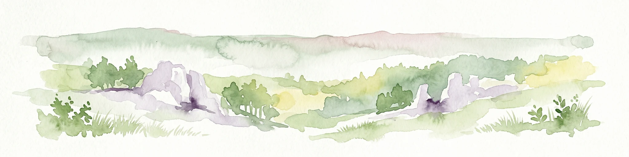
Watercolor painting of pale limestone rock formations with small cave openings and green vegetation on a soft, light background.
Nature reserveSilesian Voivodeship
9.6 km away#3 closest

North

Ostoja Kroczycka Nature Reserve: Geological Formations and Protected Habitat Mapping

Karst limestone landscapes in the Częstochowa Upland

A core component of the Natura 2000 network, Ostoja Kroczycka concentrates four dramatic limestone ranges into a single conservation landscape. The area combines vertical rock towers, subterranean hibernacula for bats, and fragmented forest patches, serving as a primary site for understanding the geological and ecological mosaic of the Polish upland region.

Area
13.912 km²
Established
2011
Relief
Upland
Climate
Temperate
Protected areaSilesian Voivodeship
12 km away#4 closest

Southwest

Łąki w Sławkowie Protected Area: Silesian Voivodeship Landscape and Map Analysis

Mapping rare fen and meadow habitats in southern Poland

Łąki w Sławkowie is a crucial protected habitat area situated west of Sławków. Its landscape consists of four connected enclaves characterized by wet meadow communities and calcareous fens. This data-driven overview highlights the site's hydrological and ecological significance within the broader Silesian Voivodeship and Poland's Natura 2000 network.

Area
0.51 km²
Relief
Lowland
Scope
Terrestrial
Water
Minor water
Nature reserveLesser Poland Voivodeship
17 km away#5 closest

East

Uniejów Parcele Nature Reserve: Geographic Insights and Protected Landscape Boundaries

A rare habitat mosaic within the Miechów Upland of Lesser Poland

Explore the geographic identity of Uniejów Parcele, a protected nature reserve in Poland. This site offers a rare convergence of xerothermic grassland and oak-hornbeam forest habitats, representing a critical ecological fragment within the undulating terrain of the Miechów Upland and the wider Lesser Poland Voivodeship.

Area
0.037 km²
Established
2011
Relief
Upland
Scope
Terrestrial
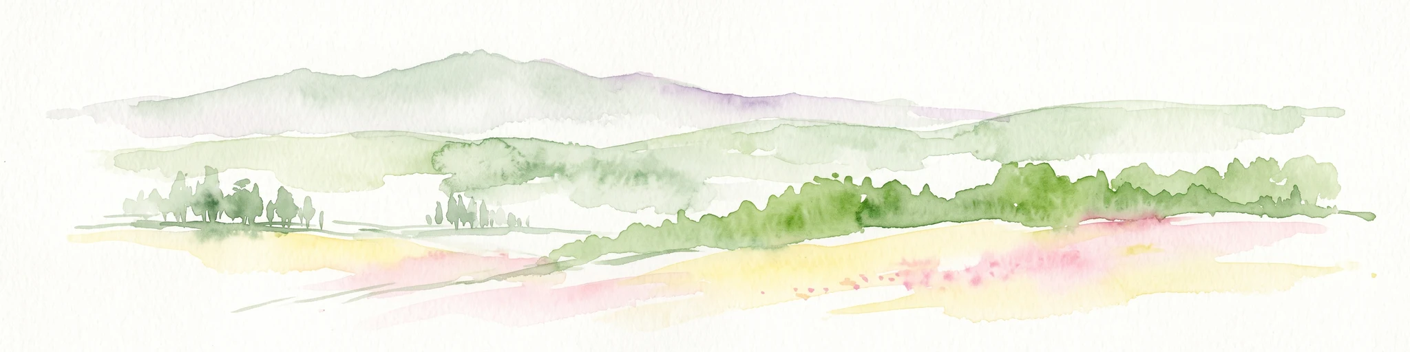
Watercolor illustration showing green hills, scattered trees, and a light sky background
National parkLesser Poland Voivodeship
19 km away#6 closest

Southeast

Ojców National Park: Karst Geography and Protected Landscape Atlas Entry

Explore the mapped terrain and unique geology of this national park.

Ojców National Park, situated in Lesser Poland Voivodeship, offers a concentrated display of dramatic karst topography. This protected national park is renowned for its towering limestone cliffs, intricate ravines, and over 400 caves, showcasing a unique Jurassic geology. As a vital protected area, its mapped boundaries encompass distinctive rock formations like Hercules' Club and the historic Trail of the Eagles' Nests, providing rich context for landscape discovery and atlas exploration.

Area
21.46 km²
Established
1956
IUCN
II
Relief
Upland
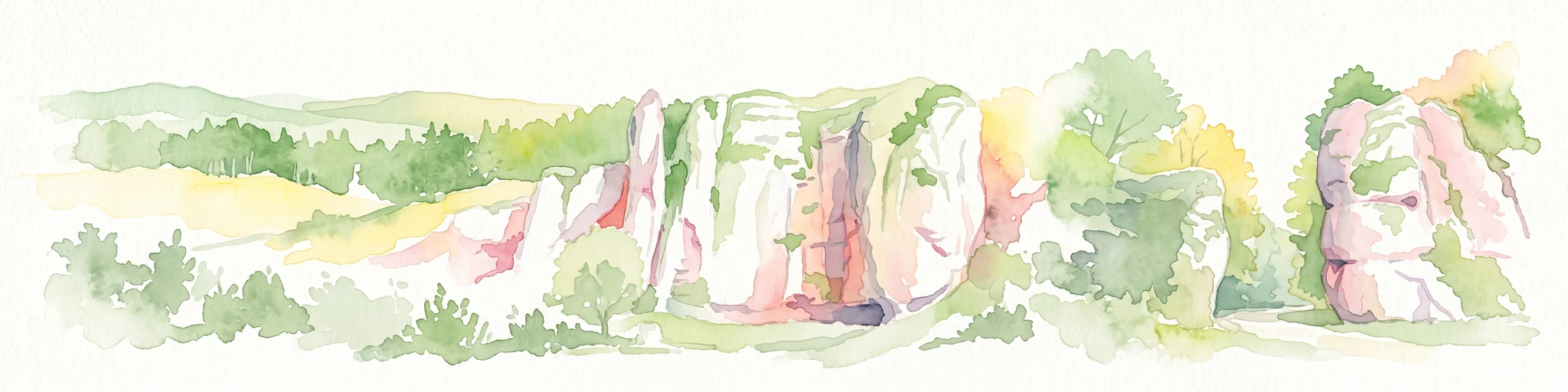
Watercolor painting of limestone rock formations surrounded by trees and green hills, rendered in a soft, panoramic landscape style.
National parkLesser Poland Voivodeship
19 km away#7 closest

Southeast

Ojcowski Park Narodowy: A Geographic Guide to Poland's Compact Protected Landscape

Jurassic limestone formations and karst valleys in Lesser Poland

Ojcowski Park Narodowy occupies a unique place in the national park system of Poland, defined by its small footprint and high concentration of Jurassic geological features. The terrain includes vertical cliffs, ancient river valleys, and significant cave systems that provide critical habitats for bat populations. Use this mapping resource to understand the park's structural complexity, from its dry ravines to the historic cultural sites integrated into the limestone bedrock.

Area
21.46 km²
Established
1956
Visitors
400K annual
Relief
Upland
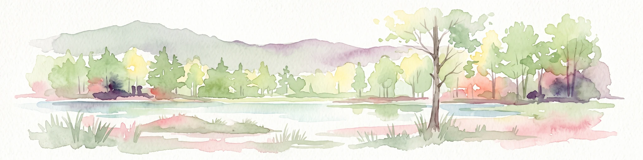
A watercolor painting of a serene landscape showing a pond, green trees, and low hills in the background.
Nature reserveJaworzno
About 20 km away#8 closest

South

Rezerwat przyrody Dolina Żabnika: Protected Stream Valley and Wetland Map in Jaworzno

A dense ecological sanctuary within the Silesian Highlands

Rezerwat przyrody Dolina Żabnika protects a rare concentration of aquatic and peat-forming habitats along the Żabnik stream. This nature reserve offers a distinct look at transitional bog ecosystems and pine forest integration in southern Poland, providing a mapped window into the complex drainage geography and preserved biodiversity of the Silesian Voivodeship.

Area
0.48 km²
Established
1996
Relief
Lowland
Climate
Temperate
MoriAtlas Explorer

Explore the Mapped Geography and Protected Landscapes of Ostoja Środkowojurajska

Investigate the complex physical terrain and conservation boundaries of Ostoja Środkowojurajska. MoriAtlas provides a clear view of this Natura 2000 protected landscape, helping you trace the geographic connections between its limestone outcrops, forest mosaics, and unique inland dune systems.