
Mori Atlas logo
Park guides

A curated collection of focused guides for navigating the Eastern Carpathians protected landscape.

Poloniny National Park Guides: Exploring the Bukovské Vrchy Landscape and Regional Terrain

Access a structured collection of guides designed to assist in exploring Poloniny National Park. These resources cover essential planning topics, including seasonal timing and understanding the natural mountain terrain of this unique Eastern Carpathian region.

Related tags

National ParkOld-Growth ForestsEastern CarpathiansUNESCO World Heritage SitePrimeval Beech Forests

Slovakia's easternmost wilderness preserving primeval Carpathian beech forests and traditional polonina meadows

Poloniny National Park

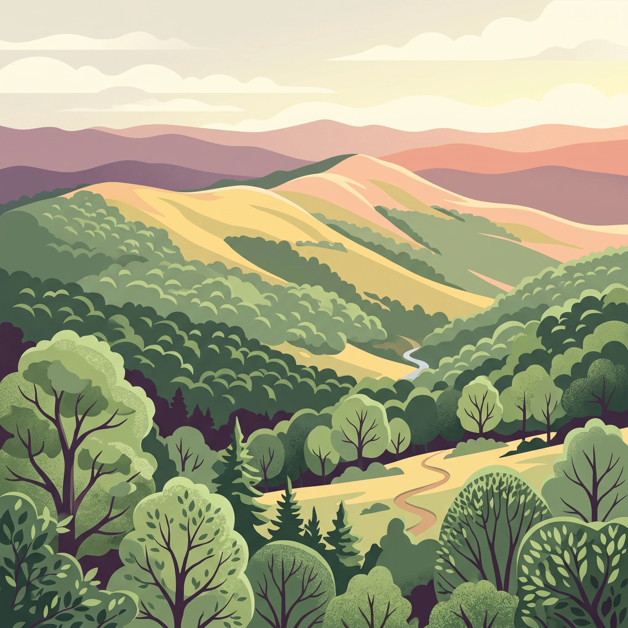
Poloniny National Park represents one of Slovakia's most significant protected areas, preserving a remarkable diversity of forest ecosystems, montane meadows, and wildlife within the Eastern Carpathians. The park's terrain is characterized by the parallel ridges and valleys of the Bukovské vrchy, with elevations ranging from approximately 400 meters in the lower valleys to 1,208 meters at Kremenec, the tripoint where Slovakia, Poland, and Ukraine meet. This location at the crossroads of three countries has shaped both the ecological character and human history of the region. The park's establishment in 1997 reflected a growing recognition of the outstanding natural value of this easternmost corner of Slovakia. Prior to national park status, the area had been protected through various designations since the 1960s, with reserves such as Stužica (established 1965) and Havešová (established 1964) preserving the old-growth forests that would later become part of the World Heritage Site. The park's buffer zone encompasses additional territory, allowing for the protection of ecological processes beyond the core protected area. Access to the park's interior is primarily through several villages that serve as trailheads, including Nová Sedlica (the most commonly used), Runina, Topoľa, and Uličské Krivé. These settlements, some of which maintain traditional wooden churches dating to the 18th century, reflect the human dimension of this mountainous border region.

Location
Slovakia
Park type
National park
Established
1997
Area
406.9 km²
Highest point
1,208 m
Poloniny National Park Atlas
1 guide

Compare thematic resources addressing seasonal timing, wilderness conditions, and beech forest exploration

Poloniny National Park Published Guides and Destination Topics

Published articles for Poloniny National Park provide targeted insights into visitor timing, seasonal weather patterns, and rugged wilderness conditions. These focused resources help readers match specific questions about hiking seasons and beech forest exploration with detailed regional context.
MoriAtlas Explorer

Continue Exploring Poloniny National Park's Carpathian Landscape and Map Context

Deepen your understanding of Poloniny National Park by examining its precise geographic boundaries and the characteristic terrain of the Bukovské vrchy mountains. This national park offers a valuable case study for regional geography, showcasing the interplay of ancient forests and montane meadows within the broader East Carpathian Biosphere Reserve, ideal for structured atlas exploration.

Global natural geography