Mori Atlas logo
Park earthquake history

Review recorded seismic events, magnitudes, and epicentre distances near this Allier river sanctuary.

Historical Earthquake Records for the Réserve naturelle nationale du val d'Allier Region

This collection presents a catalogue of seismic events recorded in the vicinity of the Réserve naturelle nationale du val d'Allier. Each record provides essential event details, including date, magnitude, depth, and calculated distance from the protected river corridor. The information relies on standard geological data sources to map historical seismic activity without implying causation or future hazard.

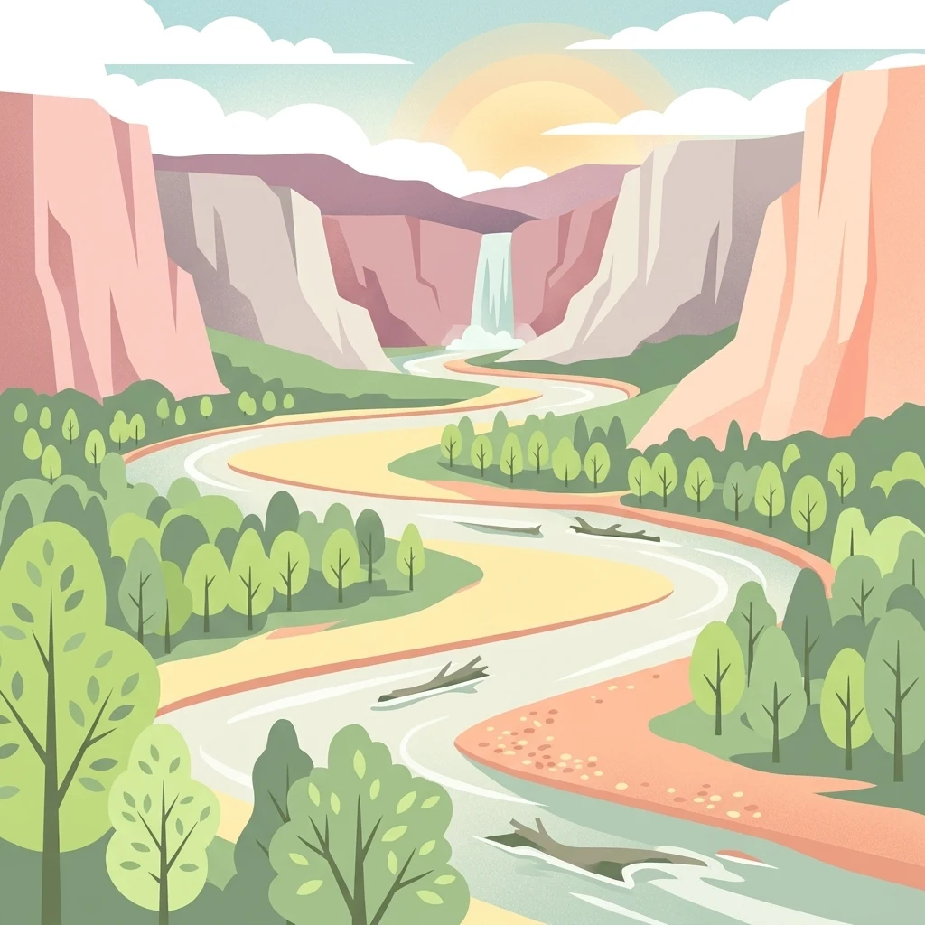
A stylized flat illustration of a river winding through a valley flanked by trees and tall cliffs, with a small waterfall in the distance under a sunrise.

A free-flowing river corridor of gravel bars, islands, and rich alluvial wildlife in central France.

Val d'Allier National Nature Reserve

The Val d'Allier National Nature Reserve protects a long stretch of the Allier River in central France, upstream of the city of Moulins in the Allier department, within the Auvergne-Rhône-Alpes region. Established in 1994, the reserve covers about 1,450 hectares along roughly twenty kilometers of river, including both banks and a width that ranges from a few hundred meters to about two kilometers. The Allier is one of the rare European rivers that remains almost entirely free to move across its floodplain, continuously eroding and reshaping its banks. This natural dynamism creates a varied mosaic of habitats: dead arms, large islands, sand and gravel bars, and adjacent alluvial forests. The reserve thus functions as an ecological corridor of national importance, supporting a remarkably diverse flora and fauna whose richness has been compared to that of the Camargue. At its core, the Val d'Allier reserve is a working example of how a large lowland river and its floodplain can be conserved together. It protects habitats shaped by natural river behavior rather than by engineered control, and it is administered jointly by LPO Auvergne, the regional branch of the French bird protection league, and the Office National des Forêts, making it both a wildlife sanctuary and a showcase of alluvial river conservation in France.

Location
France
Park type
Nature reserve
Established
1994
Area
14.5 km²
Réserve naturelle nationale du val d'Allier Map and Atlas

Compare Réserve naturelle nationale du val d'Allier records by distance

Investigate earthquakes near Réserve naturelle nationale du val d'Allier

Réserve naturelle nationale du val d'Allier’s collection relates reported epicentres to its central French river corridor through calculated distance, keeping seismic records distinct from the free-flowing Allier, floodplain, gravel bars, and channels. Dates, magnitudes, depths, localities, sources, and reserve distances enable historical comparison without asserting habitat effects, current risk, or recurrence.

Sort by
Magnitude
Location

This page describes catalogued earthquakes associated with the park by epicentre location and distance. It does not establish causation, assess current danger, or predict future earthquakes.

No earthquake records match the current filters

Park atlas

Beyond Réserve naturelle nationale du val d'Allier earthquake history

More parks after Réserve naturelle nationale du val d'Allier

Réserve naturelle nationale du val d'Allier protects 14.5 km² of French lowland rivers, wetlands, islands, coast, and forest. Its onward links lead to other protected-area earthquake catalogues whose event sources and park distances stand independently; navigation between them does not imply common geology, the same ecological consequences, or present danger.
Nature reserveAuvergne-Rhône-Alpes
About 30 km away#1 closest

Northeast

Réserve naturelle régionale du val de Loire Bourbonnais Protected Area and Atlas View

Riverine geography and floodplain landscapes in Allier, France

Examine the geographic profile of the Réserve naturelle régionale du val de Loire Bourbonnais. This site protects a significant stretch of the Loire River characterized by active meanders and alluvial deposits, representing a key example of riverine conservation in the Bourbonnais region of central France.

Area
3.08 km²
Established
2015
IUCN
IV
Watercolor painting of the Loire river showing trees along the banks and soft pink clouds in the background.
Nature reserveBourgogne-Franche-Comté
About 33 km away#2 closest

Northeast

Réserve naturelle régionale de la Loire bourguignonne: Regional Nature Reserve Map

Protected fluvial geography in Bourgogne-Franche-Comté

Located in the Nièvre department, this reserve protects an essential section of the Loire river. The landscape offers a rich mosaic of 31 natural habitats, featuring exposed gravel banks and riparian woodlands that support rare endemic flora and diverse ground-nesting bird populations.

Area
7.397 km²
Established
2015
IUCN
IV
Relief
Lowland
Nature reserveAuvergne-Rhône-Alpes
About 54 km away#3 closest

West

Espace naturel sensible de la Vauvre Protected Wetland Reserve and Geographic Landscape

Mapping wetland conservation in the Allier department

Covering 46 hectares of reclaimed terrain, this protected nature reserve provides a critical sanctuary for birds and wetland species. The site functions as a documented mosaic of ponds and damp grasslands, offering a clear example of localized ecological restoration within the broader context of the Cher valley geography.

Area
0.46 km²
Established
1996
IUCN
IV
Relief
Lowland
A soft watercolor painting of a wide, rolling landscape with green hills, pale mountain silhouettes in the background, and a faint reddish-brown foreground, presented on a white background.
Natural monumentAuvergne-Rhône-Alpes
56 km away#4 closest

South

Chaîne des Puys - faille de Limagne: Mapping Volcanic and Tectonic Protected Landscapes

Geological exploration of the Auvergne-Rhône-Alpes volcanic chain

Spanning a rhythmic skyline of roughly eighty volcanoes, the Chaîne des Puys - faille de Limagne represents a premier site for studying continental rifting and volcanic landforms. This protected monument offers a clear view into the interplay between the ancient mountain basement, the massive Limagne fault, and the resulting volcanic edifices that define the regional identity of the Auvergne-Rhône-Alpes area.

Area
242.23 km²
Established
2018
Relief
Mountain
Climate
Temperate
Nature reservePuy-de-Dôme
58 km away#5 closest

South

Réserve naturelle régionale des cheires et grottes de Volvic: Volcanic Landscapes and Bat Habitats

A regional nature reserve within the Puy-de-Dôme volcanic terrain

This protected area captures the geological signature of the Puy de la Nugère, where trachy-andésite lava flows form a stark surface landscape known as cheires. Beneath these flows, an extensive network of abandoned quarries provides stable cavities for diverse bat species, creating a dual-layered ecological site within the Chaîne des Puys.

Area
0.613 km²
Established
2014
IUCN
IV
Visitors
100K annual
A horizontal watercolor painting showing a green landscape with a winding stream, patches of marshy water, and distant hills, with soft light and green trees on the sides.
Nature reserveBourgogne-Franche-Comté
About 74 km away#6 closest

North

Réserve naturelle régionale des Mardelles de Prémery: Protected Wetland and Forest Geography

Mapping the peatland depressions of the Prémery forest

This nature reserve protects a rare assemblage of mardelles, shallow forest pools set within the Prémery state forest. The landscape serves as a vital ecological archive, with peat deposits documenting environmental changes over 15 millennia. Explore the unique hydrological and botanical features of this protected lowland habitat nestled in the heart of the Nièvre department.

Area
2.525 km²
Established
2015
IUCN
IV
Nature reserveAuvergne-Rhône-Alpes
About 76 km away#7 closest

South

Réserve naturelle régionale du Puy de Marmant: Volcanic Geography and Protected Terrain

Regional nature reserve in the Auvergne-Rhône-Alpes landscape.

This protected site preserves a prominent volcanic hill and its surrounding dry grasslands within the Limagne basin. The reserve serves as an ecologically significant island, maintaining specialized thermophilous plants and rare geological formations composed of basalt and peperite. It remains an essential reference for understanding the volcanic heritage and unique botanical diversity of the Puy-de-Dôme department.

Area
0.203 km²
Established
1985
IUCN
IV
Relief
Upland
A horizontal watercolor painting depicting a wide river valley with grassy banks and distant hills in soft pastel shades of green, yellow, and muted pink.
Nature reserveBourgogne-Franche-Comté
About 84 km away#8 closest

North

Réserve naturelle nationale du val de Loire: Protected River Geography and Map

An active alluvial landscape in the French river corridor

The Réserve naturelle nationale du val de Loire preserves one of the most representative segments of a free-flowing river system in Europe. This protected corridor showcases an exceptionally active dynamic, featuring shifting sandbanks, calm backwaters, and diverse alluvial forests that define the valley floor. Learn about the geographic boundaries and the natural terrain that characterize this essential French nature reserve.

Area
14.54 km²
Established
1995
IUCN
IV
Relief
Lowland
MoriAtlas Explorer

Explore the Geomorphic Landscapes of Réserve naturelle nationale du val d'Allier

Examine the dynamic river morphology and protected floodplain zones of the Réserve naturelle nationale du val d'Allier. MoriAtlas provides detailed context on how this nature reserve maintains its ecological integrity through natural river processes and continuous habitat renewal in the heart of France.