Mori Atlas logo
Nature reserveRéserve naturelle régionale des Annelles, Lains et Pont Pinnet

A concentrated network of peat bogs, willow marshes, and industrial-era coal-shale geological formations.

Réserve naturelle régionale des Annelles, Lains et Pont Pinnet: Mapped Landscape and Geography

(Réserve naturelle régionale des Annelles, Lains et Pont Pinnet (RNR222))

Located within the Hauts-de-France region, the Réserve naturelle régionale des Annelles, Lains et Pont Pinnet is a 14-hectare nature reserve that serves as a vital refuge for biodiversity. This landscape is defined by the coexistence of diverse habitats, including wet willow woodlands, dry grasslands, and rare metallophyte plant communities that have adapted to soils influenced by historical mining activity. The reserve map encompasses a fragmented terrain where ancient peatlands, known as vieille tourbière, sit alongside the Escarpelle coal-shale tip and canalized waterways of the Scarpe valley.

regional nature reserveHauts-de-FranceNord departmentpost-mining landscapepeatlandterril

Réserve naturelle régionale des Annelles, Lains et Pont Pinnet

Nature reserve

Park overview

Structured park overview, official facts, and landscape profile for Réserve naturelle régionale des Annelles, Lains et Pont Pinnet

Réserve naturelle régionale des Annelles, Lains et Pont Pinnet park facts, protected area profile, and essential visitor context

Review the core facts for Réserve naturelle régionale des Annelles, Lains et Pont Pinnet, including designation, size, terrain, visitor scale, habitats, and operating context in one park-focused overview.

About Réserve naturelle régionale des Annelles, Lains et Pont Pinnet

The Réserve naturelle régionale des Annelles, Lains et Pont Pinnet is a compact but exceptionally rich regional nature reserve in northern France, situated in a transitional zone between river valleys and a historic mining and industrial basin. Created in 2010 on the initiative of the commune of Roost-Warendin and the local association Roost-Warendin Nature, the reserve brings under formal protection a fragment of a formerly extensive wetland landscape that had been steadily altered since the 19th century by mining activity and by the canalization of the Scarpe River.

The site is strongly shaped by its industrial heritage. Surrounded by the canalized Scarpe, the Scarpe diversion canal, and once-functional coal and metallurgical industries including the former Métaleurop-Nord complex and the Auby plant, the reserve nevertheless preserves a mosaic of surprisingly natural habitats. These include the old peat bog known as the vieille tourbière, the Escarpelle coal-shale tip with its thermophilic plant communities, wet willow woodlands at Lains and Pont Pinnet, marshy meadows, ponds, ditches, and small patches of metalliferous grassland that have developed on contaminated ground.

What makes the reserve remarkable is the ecological density of this small surface area. In just 14 hectares, the site holds seven natural habitat types recognized under the European Habitats Directive, more than two dozen broadly defined natural habitats, over 230 vascular plant species, around 60 bird species, significant amphibian and dragonfly populations, and several strictly protected or regionally rare species. It functions as a local refuge of biodiversity within one of the most heavily industrialized landscapes of northern France, illustrating how derelict industrial ground can, in time, acquire significant ecological value when active protection and management are put in place.

Quick facts and research context for Réserve naturelle régionale des Annelles, Lains et Pont Pinnet

The Réserve naturelle régionale des Annelles, Lains et Pont Pinnet is a protected area in the Nord department, within the Hauts-de-France region of northern France, covering 14 hectares on the commune of Roost-Warendin northeast of Douai. It is classified as a regional nature reserve (réserve naturelle régionale), a status it received in October 2010, and is classified under IUCN Category IV as a habitat and species management area.

The site is managed by the Conservatoire d'espaces naturels du Nord et du Pas-de-Calais. It lies between the Scarpe River and the Scarpe diversion canal, adjacent to a long-established mining and industrial zone that includes the Escarpelle coal tip and the former Métaleurop-Nord metallurgical complex. Despite its small size, the reserve is recognized for the diversity of its habitats, including peat-forming wet zones, dry metalliferous grasslands, willow woodlands, and ponds, and serves as an important refuge for amphibians, dragonflies, and rare metallophyte plants.

Protection and recognition

Documented terrestrial protection scope, management records, and official designation metrics

Protection Status and International Recognition for Réserve naturelle régionale des Annelles, Lains et Pont Pinnet

Terrestrial protection status, management scope, and official designation metrics for Réserve naturelle régionale des Annelles, Lains et Pont Pinnet are detailed through verified records. Recorded protection data and international recognition listings provide structured context for conservation researchers and park analysts.

Protection details

Protection scope
Terrestrial
Transboundary protection
No
WDPA ID
555514393
Park context

Deeper park guide and search-rich context for Réserve naturelle régionale des Annelles, Lains et Pont Pinnet

Réserve naturelle régionale des Annelles, Lains et Pont Pinnet history, landscape, wildlife, and travel context

Explore Réserve naturelle régionale des Annelles, Lains et Pont Pinnet through its history, landscape character, ecosystems, wildlife, conservation priorities, cultural context, and seasonal travel timing in a structured park guide built for atlas discovery and search intent.

Why Réserve naturelle régionale des Annelles, Lains et Pont Pinnet stands out

The reserve is best known for the unusually high habitat diversity packed into a small post-mining landscape, where peat bogs, willow marshes, dry grasslands, and heavy-metal-tolerant plant communities coexist within 14 hectares. It is especially notable for its so-called "vieille tourbière," the Escarpelle coal-shale terril, and its populations of metallophytes such as Haller's sea-thrift (Armeria maritima subsp. halleri). It is also recognized for the density and quality of its amphibian fauna, with nine species recorded in a network of ponds and ditches, including the protected great crested newt, and for the rare aquatic plants such as common bladderwort and coloured pondweed that survive in its mineral-rich waters.

Réserve naturelle régionale des Annelles, Lains et Pont Pinnet history and protected-area timeline

The lands now protected by the reserve were once part of a broader wetland system of wet meadows and marshes, much of which was filled in or altered during the 19th and 20th centuries as a result of coal mining and the canalization of the Scarpe River. Mining spoil and coal-shale deposits progressively overlaid and reshaped part of these former wet zones, leaving behind a patchwork of dry, moist, and peaty habitats that gradually developed their own ecological character.

Local recognition of the natural significance of these relict habitats grew steadily, and a project to give them formal protection was carried forward by the commune of Roost-Warendin and the local naturalist association Roost-Warendin Nature. The proposal was submitted to the Nord-Pas-de-Calais regional council, which accepted the classification. The reserve was officially created on 4 October 2010, becoming one of the regional nature reserves of the Hauts-de-France region. Since its creation, the site has been managed by the Conservatoire d'espaces naturels du Nord et du Pas-de-Calais, which inaugurated on-site signage in April 2011 and developed a management plan to address invasive species, eutrophication, and visitor pressure.

In parallel, the reserve has become part of a broader regional effort to recapture biodiversity value on post-industrial and post-mining land, demonstrating how formerly degraded ground can support peatland flora, amphibian populations, and rare metallophytes when protection and active management are combined.

Réserve naturelle régionale des Annelles, Lains et Pont Pinnet landscape and geographic character

The landscape of the reserve is shaped by its position along the Scarpe valley and by its industrial past. The protected area lies between the canalized Scarpe River and the Scarpe diversion canal, on rather flat lowland terrain typical of the northern French coal basin. The canalized watercourses, ditches, ponds, and relict wet meadows produce a visually fragmented but ecologically varied patchwork.

The most visible physical feature of the site is the Escarpelle terril, a coal-shale tip built up by historical mining activity. Its dry, hot, stony slopes contrast sharply with the wet marshes, willow stands, and peatland that occupy lower-lying sections of the reserve. The peatland, locally called the vieille tourbière, is one of the oldest surviving landscape elements of the site, while the wet willow woodlands of Lains and Pont Pinnet represent a transitional stage between open marsh and dry ground.

The result is a layered landscape in which dark shale mounds, open water, wet woodland, and patches of dry ruderal vegetation lie within very short distances of each other. This juxtaposition defines the reserve's distinctive character and strongly influences the distribution of its plant and animal communities.

Réserve naturelle régionale des Annelles, Lains et Pont Pinnet ecosystems, habitats, and plant life

The ecological richness of the reserve is closely linked to the diversity of its habitats within a very small area. The site supports seven habitat types listed under Annex I of the European Habitats Directive and around 26 broadly defined natural habitats, ranging from relict peatland and wet willow woodland to dry grasslands, ponds, ditches, and metalliferous vegetation. Roughly a quarter of recognized plant formations on the reserve are considered of heritage value in the Nord-Pas-de-Calais region.

A key feature of the site's ecology is the presence of metalliferous grasslands, locally known as pelouses calaminaires. These small patches of heavy-metal-tolerant vegetation have developed on contaminated substrate, and they support specialized metallophyte species capable of accumulating zinc, lead, and cadmium. They include strict metallophytes such as bladder campion and Haller's sea-thrift (Armeria maritima subsp. halleri).

The other major ecological signature of the reserve is its relict peatland and wet zone network. Ponds, ditches, and the wet willow stands of Lains and Pont Pinnet together preserve one of the last fragments of what was once a continuous wetland system along the Scarpe. These wet habitats support carnivorous aquatic plants such as common bladderwort, alkaline-water pondweeds, and a significant amphibian community, while also acting as refuges for invertebrates, including dragonflies and butterflies.

Réserve naturelle régionale des Annelles, Lains et Pont Pinnet wildlife and species highlights

The reserve supports a remarkably dense fauna for its size, reflecting the diversity of habitats packed into 14 hectares. Birds are particularly well documented, with around 60 species observed on or around the site, of which roughly 48 are considered to nest there. Among the most noteworthy breeding species are bluethroat, water rail, common kingfisher, and European turtle dove.

The reserve's amphibian fauna is one of its principal natural assets. Inventories conducted between 2002 and 2008 identified nine species within its ponds, ditches, and wet woodland, representing a large share of the regional amphibian fauna. The most prominent species is the great crested newt, a European-protected amphibian that breeds in the ponds of Pont Pinnet.

Dragonflies are also well represented, with 19 species recorded on the site, more than 30 percent of regional diversity. Several of these, including the large aeshna dragonfly and the white-faced darter, are considered rare in the Nord-Pas-de-Calais region. Mammals are less thoroughly documented, but include small mammals, bats, and roe deer-like micromammals inhabiting the site's edges. Forty-eight species of breeding birds, nine amphibians, and nineteen dragonflies combine to give the reserve an exceptionally high faunal density for a small protected area.

Réserve naturelle régionale des Annelles, Lains et Pont Pinnet conservation status and protection priorities

The conservation significance of the reserve lies in its role as a refuge for a wide range of habitats and species within one of the most heavily industrialized landscapes of northern France. By protecting what remains of relict peatland, metalliferous grasslands, wet willow woodlands, and ponds, the reserve preserves ecological features that have largely disappeared from the surrounding Scarpe valley and mining basin.

Its designation in 2010 was motivated in part by a desire to limit the continuing pressures on these habitats. Heavy-metal contamination linked to past mining and metallurgical activity is still detectable in parts of the reserve, and eutrophication, the spread of invasive plant species, woody encroachment, and occasional overuse by visitors have all been identified as active or potential threats.

Management by the Conservatoire d'espaces naturels du Nord et du Pas-de-Calais, supported by the local association Roost-Warendin Nature, focuses on maintaining open habitats, controlling invasive species, monitoring water quality, and providing environmental education. The reserve is classified as an IUCN Category IV area, recognizing it as a habitat and species management area where active intervention is required to maintain its ecological values.

Réserve naturelle régionale des Annelles, Lains et Pont Pinnet cultural meaning and human context

The reserve sits in a landscape deeply marked by the industrial and mining history of northern France. The Escarpelle terril, the adjacent mining spoil deposits, and the proximity of the former Métaleurop-Nord site and the Auby metallurgical plant all reflect a regional identity built around coal extraction and metal processing, an identity that shaped local communities, work, and land use for more than a century.

The creation of the reserve itself reflects a shift in this regional identity: a transition from a purely extractive relationship with the landscape to one that also values ecological heritage. Local involvement through the commune of Roost-Warendin and the association Roost-Warendin Nature was central to the reserve's creation, and the site is used today as a setting for environmental education, guided visits, and citizen engagement with the natural heritage of a previously overlooked industrial landscape. The reserve is also accessible to people with reduced mobility, reinforcing its role as a shared local resource.

Top sights and standout views in Réserve naturelle régionale des Annelles, Lains et Pont Pinnet

Within its 14 hectares, the reserve concentrates more than 26 natural habitats, 236 vascular plant species, 48 breeding bird species, 9 amphibian species, 19 dragonfly species, and 24 butterfly species, giving it an unusually high biodiversity density for a regional nature reserve of this size. Its Escarpelle terril, vieille tourbière, and Pont Pinnet ponds are the three signature elements that together define its character.

Equally distinctive is the coexistence of relict peatland, wet willow woodland, dry grassland, and metalliferous vegetation within walking distance of one another, supported by careful management from the Conservatoire d'espaces naturels du Nord et du Pas-de-Calais. The protected area stands out as a model of how post-mining land can be transformed into a meaningful long-term refuge for biodiversity in an otherwise heavily industrialized region.

Best time to visit Réserve naturelle régionale des Annelles, Lains et Pont Pinnet

The reserve can be appreciated throughout much of the year, with each season offering a different perspective on its habitats. Spring and early summer are generally the most rewarding periods for observing wetland vegetation, dragonflies, and breeding birds around the ponds of Pont Pinnet and the wet willow woodlands of Lains, when amphibian activity and aquatic plant flowering are at their peak. Late spring also brings the richest display of metallophyte and thermophile flora on the Escarpelle terril.

Summer visits offer the chance to observe dragonflies and the full development of reedbed and grassland vegetation, while autumn brings fruiting willow woodlands and a quieter atmosphere conducive to observing fungi, including the thermophile species associated with former mining substrates. Winter visits reveal the contrast between the steeper brown slopes of the terril and the quieter wet zones, although wildlife observation is more limited. The reserve's accessibility for people with reduced mobility means it is suitable for short visits in any mild season.


Monthly climate preview

Long-term representative monthly temperature and precipitation rhythm across the protected landscape

Annual Climate Normals and Temperature Patterns for Réserve naturelle régionale des Annelles, Lains et Pont Pinnet

Temperature and precipitation data compiled from representative coordinates illustrate the measured annual climate rhythm for Réserve naturelle régionale des Annelles, Lains et Pont Pinnet. Complete monthly breakdowns and detailed long-term averages remain accessible through the dedicated climate profile route.
Annual mean10 °C
3 °C18 °C
Jan
Feb
Mar
Apr
May13°
Jun16°
Jul18°
Aug18°
Sep15°
Oct11°
Nov
Dec
Warmest month
July

18 °C

Coolest month
January

2.9 °C

Wettest month
December

2.5 mm/day

Driest month
April

1.5 mm/day

Park location guide

Geography guide, regional context, and park location map for Réserve naturelle régionale des Annelles, Lains et Pont Pinnet

Réserve naturelle régionale des Annelles, Lains et Pont Pinnet park geography, regions, and map view in France

Understand where Réserve naturelle régionale des Annelles, Lains et Pont Pinnet sits in France through a broader geographic reading of the surrounding landscape, nearby location context, and its mapped position within the national park landscape.

How Réserve naturelle régionale des Annelles, Lains et Pont Pinnet fits into France

France is a unitary semi-presidential republic and one of the world's largest economies. It borders Belgium, Luxembourg, Germany, Switzerland, Italy, Monaco, Andorra, and Spain, with a maritime border to the United Kingdom. The country is known for its cultural influence, art, cuisine, and political history spanning centuries.

Wider geography shaping Réserve naturelle régionale des Annelles, Lains et Pont Pinnet in France

France is located in Western Europe. Metropolitan France extends from the Rhine to the Atlantic Ocean and from the Mediterranean Sea to the English Channel and North Sea. The country borders Belgium, Luxembourg, Germany, Switzerland, Italy, Monaco, Andorra, Spain, and has a maritime border with the United Kingdom.

Map view of Réserve naturelle régionale des Annelles, Lains et Pont Pinnet

Use this park location map to pinpoint Réserve naturelle régionale des Annelles, Lains et Pont Pinnet in France, understand its exact geographic position, and read its mapped placement within the surrounding landscape more clearly.

Pigeon | © OpenStreetMap contributors

Location context for Réserve naturelle régionale des Annelles, Lains et Pont Pinnet

Hauts-de-France
Park atlas

Compare surrounding protected landscapes and regional valley geography

Other Parks Near Réserve naturelle régionale des Annelles, Lains et Pont Pinnet

Browse protected areas near Réserve naturelle régionale des Annelles, Lains et Pont Pinnet to evaluate diverse post mining terrain and valley ecosystems. Comparing adjacent reserves provides broader context for regional conservation corridors and wetland habitats.
Protected areaNord
About 1.4 km away#1 closest

East

Vallées de la Scarpe et de l'Escaut Protected Landscape Geography and Map Context

Wetland mosaic, subsidence lakes, and river floodplains in Nord

Examine the physical geography of the Scarpe and Escaut Valleys, a premier wetland site in northern France. The protected area features a mosaic of marshes, wet meadows, and mining-subsidence lakes that provide vital habitats for migratory waterbirds and support carbon storage through rare alkaline peatlands.

Area
276.22 km²
Established
2020
Relief
Lowland
Scope
Terrestrial
Nature reserveHauts-de-France
About 2.5 km away#2 closest

Southwest

Réserve naturelle régionale du marais de Wagnonville: Protected Wetland and Bog Geography

A resilient marshland ecosystem in the Douai urban landscape.

This reserve provides a comprehensive look at the surviving wetlands of the Escrebieux valley. Covering 20 hectares, the area hosts a dense variety of habitats from open ponds to rare sphagnum peat bogs, marking an essential node of biodiversity and ecological restoration within the northern French administrative landscape.

Area
0.2 km²
Established
1994
IUCN
IV
Relief
Lowland
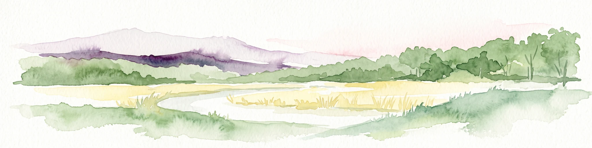
A panoramic watercolor painting showing a winding river in a green meadow, with a line of trees on the right and purple mountains in the background.
Nature reserveHauts-de-France
About 11 km away#3 closest

East

Réserve naturelle régionale de la tourbière de Vred: Protected Peatbog and Wetland Map

Geographic landscape in the Hauts-de-France alluvial plain

Vred Peatbog is an ecologically significant protected site in northern France, known for its floating sphagnum-bearing peat formation. The reserve contains a mosaic of managed drainage channels, reedbeds, and woodlands that provide a critical sanctuary for wetland species within the Scarpe valley landscape. This mapping data provides a detailed look at the site's unique alluvial basin and regional conservation status.

Area
0.41 km²
Established
2008
IUCN
IV
Relief
Lowland
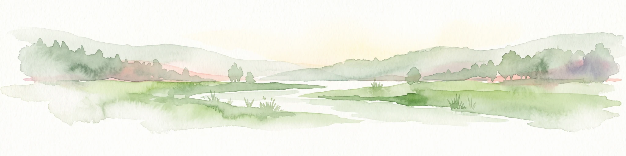
Watercolor painting of a soft, hazy landscape featuring low hills in the background and marshy wetlands in the foreground with pastel shades of green, yellow, and soft pink.
Nature reserveHauts-de-France
About 12 km away#4 closest

East

Réserve naturelle régionale du pré des Nonnettes: Regional Nature Reserve and Wetland Atlas

Alluvial marshland and hay meadow terrain in the Hauts-de-France

The Réserve naturelle régionale du pré des Nonnettes preserves a rare wet hay meadow habitat within the Marais du Vivier. Located in the lower Scarpe river valley, this nature reserve integrates marshy ground, ponds, and riparian woods to support a concentrated mosaic of wetland biodiversity. MoriAtlas provides detailed geographic context for this protected site and its significance within the larger Hauts-de-France wetland conservation network.

Area
0.173 km²
Established
2008
IUCN
IV
Relief
Lowland
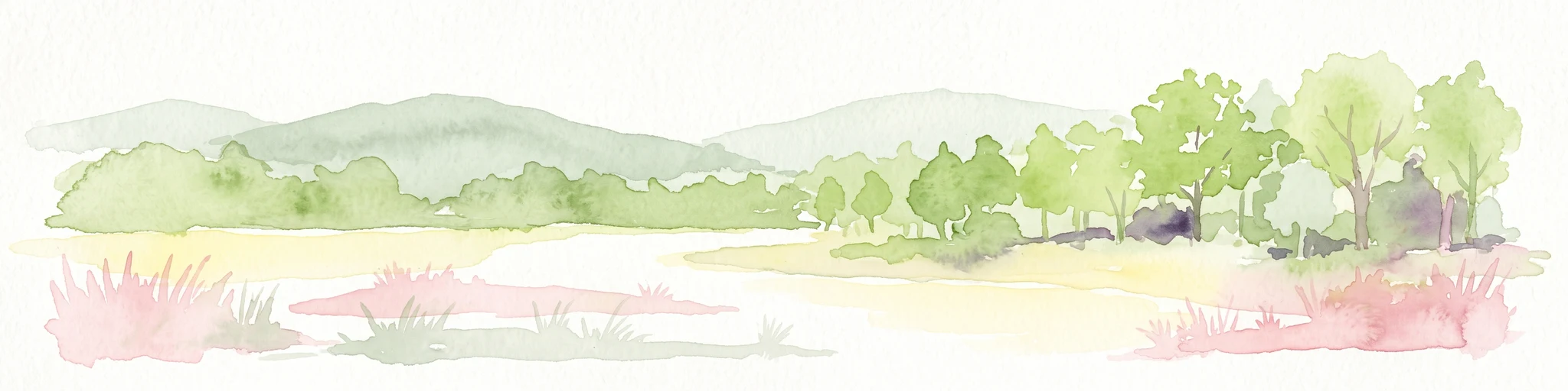
A watercolor illustration of a natural reserve landscape featuring foreground shrubs and grasses with a distant treeline, set against a plain white background.
Nature reserveHauts-de-France
About 25 km away#5 closest

North

Réserve naturelle régionale du Héron: Wetland and Birding Landscape in Hauts-de-France

Periurban protected area near Lille.

Located in the Hauts-de-France region, Réserve naturelle régionale du Héron serves as an important ornithological site centered on the Lac du Héron. The protected boundaries encompass a diverse terrain of wetlands, reed-fringed margins, and woodland that support significant migratory avian populations within an urban-adjacent setting.

Area
0.732 km²
Established
2012
IUCN
IV
Relief
Lowland
Watercolor painting of a marshy wetland landscape featuring rolling hills, green trees, and foreground grasses against a white background.
Nature reservePas-de-Calais
About 28 km away#6 closest

Northwest

Marais de Cambrin, Annequin, Cuinchy et Festubert Regional Nature Reserve: Protected Wetland Atlas

Alluvial floodplains and biodiversity refuges in Pas-de-Calais

Trace the boundaries and protected features of the Marais de Cambrin, Annequin, Cuinchy et Festubert Regional Nature Reserve. This site preserves an essential mosaic of open water, peat-rich fens, and damp alluvial woods that function as a crucial nesting ground for waterfowl and a repository for rare botanical heritage in northern France.

Area
0.742 km²
Established
2009
IUCN
IV
Relief
Lowland
A soft, painterly watercolor illustration showing a winding river flowing through a lush green valley with rolling hills in the background.
Nature reserveHauts-de-France
About 28 km away#7 closest

South

Réserve naturelle régionale de l'Escaut-rivière: Protected Wetland and Alluvial Corridor

Regional nature reserve in the Hauts-de-France floodplain

Spanning sixty hectares in the Cambrésis plain, this reserve protects a unique alluvial floodplain mosaic. The site provides a critical habitat refuge of wet meadows and regenerating woodland, marking a significant success in ecological restoration and fluvial corridor protection along the Escaut river.

Area
0.594 km²
Established
2011
IUCN
IV
Relief
Lowland
A soft watercolor painting showing a panoramic landscape with light green trees and low hills in the background, set against a pale, washed-out sky.
Nature reserveHauts-de-France
About 36 km away#8 closest

Northwest

Réserve naturelle régionale des prés du Moulin Madame: Regional Protected Meadow Map

Riverine floodplain landscapes in the Hauts-de-France region

The Réserve naturelle régionale des prés du Moulin Madame protects an 8.52 hectare corridor along the Lys river. This site highlights the preservation of traditional flood meadows that are increasingly rare in northern France. Users can examine the park boundaries, understand the flat lowland terrain, and trace the riverine geography that defines this unique protected cultural landscape.

Area
0.085 km²
Established
2015
IUCN
IV

Common questions about visiting, size, designation, and location context for Réserve naturelle régionale des Annelles, Lains et Pont Pinnet

Réserve naturelle régionale des Annelles, Lains et Pont Pinnet FAQs for park facts, access, geography, and protected area context

Find quick answers about Réserve naturelle régionale des Annelles, Lains et Pont Pinnet, including protected-area facts, park geography, trail and visitor context, and how the park fits into its surrounding country and regional landscape.
MoriAtlas Explorer

Continue Your Protected Areas Search Across the Global Atlas

Deepen your exploration by continuing the structured search for national parks and protected areas worldwide. Utilize the comprehensive filtering capabilities to compare different conservation landscapes and refine your understanding of global park geography. Discover more about the distribution and characteristics of protected natural areas.

Global natural geography