Mori Atlas logo
Park earthquake history

Review recorded seismic events identified by distance to the island terrain

Historical Earthquake Records and Seismic Activity Catalogue for Rüdesheimer Aue

Access a structured collection of historical earthquake data associated by epicentre proximity with Rüdesheimer Aue. This catalogue provides key details including event dates, magnitudes, and depths for seismic activity recorded in the surrounding Rheingau-Taunus region. Information is organized to facilitate the review of regional tectonic history relative to this specific Rhine island environment.

Related tags

river islandRhineUpper RhineInselrheinfloodplain forest

A protected river island in the Upper Rhine, sheltering rare floodplain forest and resting waterbirds.

Rüdesheimer Aue

Rüdesheimer Aue is a small uninhabited island in the Upper Rhine, lying a short distance off the right bank near Rüdesheim am Rhein in the Rheingau-Taunus district of Hesse, Germany. It is part of the chain of River Rhine islands, the Inselrhein, that stretches between Mainz and Bingen, an area defined by shifting sandbanks, soft sediments, and floodplain vegetation shaped by the rhythms of the river. The island is protected both as a German nature reserve (Naturschutzgebiet) and as a European Habitats Directive site (FFH-Gebiet). Its ecological value lies in the surviving patches of floodplain forest, the sediment bars and mudflats that reflect active river dynamics, and its role as a resting and wintering place for waterbirds moving along the Rhine corridor. Despite its modest size and proximity to a busy section of the river used by river cruise shipping, Rüdesheimer Aue has remained a quiet refuge of rare floodplain habitat in a heavily modified landscape.

Location
Germany
Park type
Nature reserve
Area
0.1 km²
Highest point
84 m
Rüdesheimer Aue Protected Landscape

Search Rüdesheimer Aue observations by date and distance

Explore historical earthquake records near Rüdesheimer Aue

Historical earthquake records near Rüdesheimer Aue are linked to the protected place by event epicentre and measured distance, not by assumed boundary occurrence. Explore dates, magnitudes, depths, named locations, distance values, and source records without inferring seismic causes from local landscape features, declaring present danger, or forecasting later activity.

Sort by
Magnitude
Location

This page describes catalogued earthquakes associated with the park by epicentre location and distance. It does not establish causation, assess current danger, or predict future earthquakes.

No earthquake records match the current filters

Park atlas

Continue past Rüdesheimer Aue earthquake observations

Browse other protected destinations after Rüdesheimer Aue

Rüdesheimer Aue earthquake observations lead to an unrelated assortment of parks and protected places for further discovery. The destinations are not presented as sharing river or island settings, protection status, geology, seismic history, nearness, hazard, risk, or consistent supporting sources.
A watercolor painting showing a soft, atmospheric landscape with a river flowing through green hills and gentle, misty mountains.
Nature reserveRhineland-Palatinate
Park boundaries overlap#1 closest

East

Inselrhein Nature Reserve, Rhineland-Palatinate: A Geographic and Protected-Area Atlas

River islands, floodplain forests, and Upper Rhine wetlands

Inselrhein features a chain of natural river islands and side channels forming a critical wetland habitat. The terrain transition from soft-wood to hardwood forest communities creates a layered landscape. Examine the protected boundaries and geographic significance of this river corridor between Mainz and Bingen, documented within the Rhineland-Palatinate atlas.

Relief
Lowland
Climate
Temperate
Access
Easy access
Scope
Terrestrial
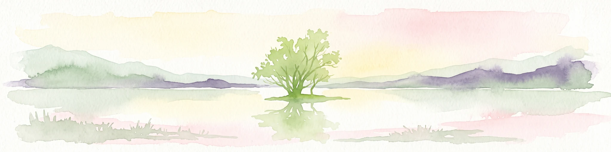
A watercolor illustration of a calm body of water with a single tree in the center; distant rolling hills are visible in the background under a soft, pastel-colored sky.
Nature reserveLower Saxony
About 1.7 km away#2 closest

East

Fulder Aue, Ilmen Aue Nature Reserve: Mapped Protected Landscapes and Floodplain Geography

Alluvial river islands and wetland ecosystems in the Rhine valley.

The Fulder Aue, Ilmen Aue nature reserve serves as an vital example of an active Rhine floodplain. This area preserves a mosaic of islands, connecting channels, and soft-wood forest habitats. Learn about the geographic and hydrological dynamics that shape this protected space near Bingen am Rhein, showcasing its importance within the Rhine lowland system.

Area
3.38 km²
Established
1995
Relief
Lowland
Scope
Terrestrial
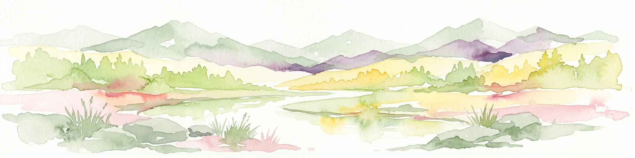
A horizontal watercolor painting showing a serene valley landscape with distant rolling mountains, a central winding river or stream, and grassy banks in soft muted colors.
Nature reserveGermany
About 6.1 km away#3 closest

West

Morgenbachtal Nature Reserve: A Geographic Atlas of the Middle Rhine Slate Cliffs

Exploration of the Binger Wald protected valley and its geological terrain.

Morgenbachtal presents a unique geographic profile characterized by two distinct ridge lines of crystalline slate cliffs. This protected area in Germany balances strict conservation with a complex landscape of narrow ravines, mixed forests, and historical landmarks like the Steckeschlääferklamm gorge and medieval castle ruins along the Rhine.

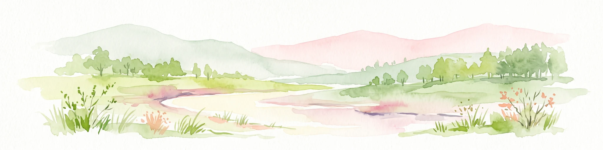
A horizontal watercolor painting of a river landscape with lush green trees, grasses, and a winding waterway under a soft light.
Nature reserveHessen
7.6 km away#4 closest

East

Mariannenaue Nature Reserve: Protected River Island Geography and Landscape Atlas

Rhine river island and floodplain forest in Hessen, Germany.

Mariannenaue serves as a prominent example of a protected inland island in the Upper Rhine. Its geography encompasses a complex mix of veteran floodplain forest, still-water habitats, and centuries-old vineyard cultivation. This detail page provides insights into the park boundaries, the surrounding riverine terrain, and the ecological network that connects this site to the broader Rheingau landscape.

Area
1.96 km²
Established
1972
Relief
Lowland
Climate
Temperate
A horizontal watercolor painting showing a river winding through lush green islands and low hills in the background.
Nature reserveHesse
9 km away#5 closest

Northwest

Lorcher Werth Nature Reserve: Protected Rhine Island Geography and Floodplain Forest

An ecologically significant island pair in the Middle Rhine, Hesse.

Lorcher Werth is a unique river island complex in Hesse, Germany, designated as a nature reserve and European Habitats Directive site. These uninhabited islands act as a vital refuge for floodplain habitats, currently undergoing a transformation toward natural Auwald forest. This site provides a rare, flat fluvial counterpoint to the surrounding steep and narrow landscapes of the Middle Rhine corridor.

Area
0.129 km²
Relief
Lowland
Climate
Temperate
Access
Highly restricted
Nature reserveRhineland-Palatinate
About 11 km away#6 closest

East

Hangflächen um den Heidesheimer Weg: Nature Reserve Geography and Protected Landscape Context

Mainz-Bingen, Rhineland-Palatinate Nature Reserve

Hangflächen um den Heidesheimer Weg contains an unusual ecological convergence of sand dunes, open flats, and calcareous grasslands near Ingelheim am Rhein. This nature reserve provides critical protection for a fragmented yet highly structured landscape where springs and wetland zones intersect with warm, dry slopes. The area preserves a significant biotope complex of national importance within the Upper Rhine Plain.

Area
3.348 km²
Established
2003
A horizontal watercolor illustration of a natural landscape featuring a small body of water or pond in the foreground, surrounded by grassy banks, low hills in the distance, and soft-colored vegetation.
Nature reserveRhineland-Palatinate
About 11 km away#7 closest

East

Sandgrube am Weilersberg Nature Reserve and Protected Landscape Map

Rhineland-Palatinate, Germany protected area

Sandgrube am Weilersberg is a protected nature reserve in Rhineland-Palatinate, Germany, known for its compact mosaic of calcareous sand slopes and wet meadows. Part of the Natura 2000 network, the site preserves rare steppe flora and wetland ecosystems that emerged following former sand extraction. The terrain supports significant entomological, botanical, and bryological diversity maintained through active grazing.

Area
0.095 km²
Established
1986
Relief
Lowland
Climate
Temperate
Nature reserveRhineland-Palatinate
About 16 km away#8 closest

East

Wiesen am Layenhof, Ober-Olmer Wald Nature Reserve: Mapped Landscapes of Rhineland-Palatinate

Protecting a delicate balance of beech woodland and rare dry grassland ecosystems.

Spanning 533 hectares near Mainz, this nature reserve serves as a critical refuge for biodiversity, characterized by its interlocking habitat types including oak-beech forests and orchid-rich dry swards. The geography is shaped by small seasonal pools and a network of pathways that provide access to the protected terrain, offering a clear view of how woodland and meadow habitats interact within the landscape of Rhineland-Palatinate.

Area
5.33 km²
Established
2017
Relief
Lowland
Scope
Terrestrial
MoriAtlas Explorer

Continue Exploring the Protected Landscapes of Rüdesheimer Aue

Use MoriAtlas to delve into the river dynamics, floodplain forest structure, and bird migration habitat of Rüdesheimer Aue. Gain detailed insights into this protected island environment and its unique position within the broader geography of the Upper Rhine in Hesse.

Global natural geography