
Mori Atlas logo
Natural monumentRybník Louňov

Mapping the ecological diversity and terrain of a significant Bohemian pond and wetland site

Rybník Louňov Natural Monument and Protected Wetland Landscapes in the Central Bohemia Region

Rybník Louňov stands as a key natural monument in the Central Bohemia Region, representing an ecologically rich pond ecosystem. This site encompasses a vital mosaic of open water, dense reed beds, and remnants of wet meadow vegetation. The protected boundaries preserve essential habitats for threatened species and demonstrate the importance of localized wetland conservation within the gently rolling Bohemian countryside.

pondfishpondwetlandreedbedwet meadowaquatic habitat
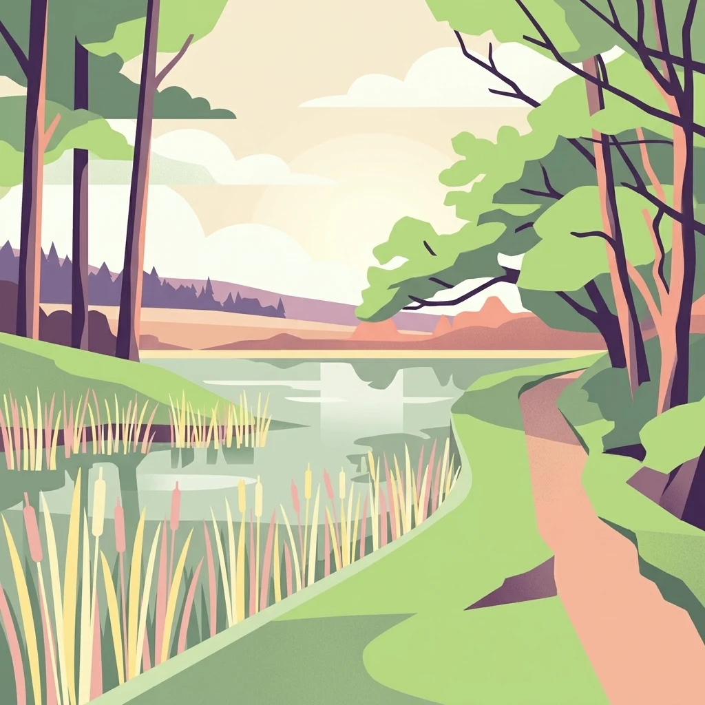
A flat, vector-style illustration of a pond with reeds at the edge and a dirt path leading through a wooded area.

Rybník Louňov

Natural monument

Park overview

Structured park overview, official facts, and landscape profile for Rybník Louňov

Rybník Louňov park facts, protected area profile, and essential visitor context

Review the core facts for Rybník Louňov, including designation, size, terrain, visitor scale, habitats, and operating context in one park-focused overview.

About Rybník Louňov

Rybník Louňov is a compact protected nature reserve in the Central Bohemian Region of the Czech Republic, set in the rolling countryside near the village of Načeradec. Although it covers only a small footprint, the site concentrates a remarkable amount of biodiversity into a single pond-and-wetland complex, which is the reason it was elevated to the status of a natural monument in 2001.

The physical setting is typical of the smaller Bohemian agricultural landscape: a low-lying pond bordered by emergent reed vegetation and threaded with surviving fragments of the original wet meadows that once characterized such lowland sites. Open water, reedbeds, and meadow remnants form a tight habitat mosaic, and this combination drives much of the site's ecological value.

The pond ecosystem is the focal point of the protection. Its submerged vegetation supports aquatic invertebrates and provides shelter for amphibians during their breeding season, while the surrounding reeds function as nesting cover for waterbirds. The site therefore has value not only for individual rare species but also as a functioning breeding and refuge habitat for wetland wildlife in a heavily farmed region.

Rybník Louňov fits into a broader Czech tradition of protecting small, ecologically meaningful localities under the přírodní památka designation. Sites like this one play an important role in maintaining the network of wetland refuges that persist across the modern agricultural landscape, allowing species with strict habitat requirements to survive alongside human land use.

Quick facts and research context for Rybník Louňov

Rybník Louňov is a natural monument located in the Central Bohemian Region (Středočeský kraj), within the Benešov District, just outside the village of Načeradec. The site was officially designated on 15 October 2001 and covers roughly 1.85 hectares at an elevation of around 454 to 456 meters above sea level. Under the IUCN system, it is classified as Category IV, a habitat or species management area.

The protected area centers on a small pond along with its surrounding emergent vegetation and fragments of original wet meadow. Its primary conservation value lies in the pond ecosystem itself, which harbors populations of specially protected plants, amphibians, reptiles, and mollusks, as well as serving as a breeding site for waterbirds.

Protection and recognition

Examine documented terrestrial conservation frameworks and designation details for Rybník Louňov.

Rybník Louňov Protection Status and International Recognition Records

Rybník Louňov maintains a defined terrestrial protection scope within the regional protected area framework. Official conservation records catalog the documented regulatory status and administrative designation metrics.

Protection details

Protection scope
Terrestrial
Transboundary protection
No
Park context

Deeper park guide and search-rich context for Rybník Louňov

Rybník Louňov history, landscape, wildlife, and travel context

Explore Rybník Louňov through its history, landscape character, ecosystems, wildlife, conservation priorities, cultural context, and seasonal travel timing in a structured park guide built for atlas discovery and search intent.

Why Rybník Louňov stands out

Rybník Louňov is best known as a small but ecologically dense pond-and-wetland site that harbors strongly threatened species such as the sedge Carex lasiocarpa, the marsh cinquefoil Potentilla palustris, the pond mussel Anodonta cygnea, and amphibians like the pool frog and smooth newt. The dense reed stands and surviving wet-meadow fragments give the site its character, and the pond serves as a breeding ground for waterbirds.
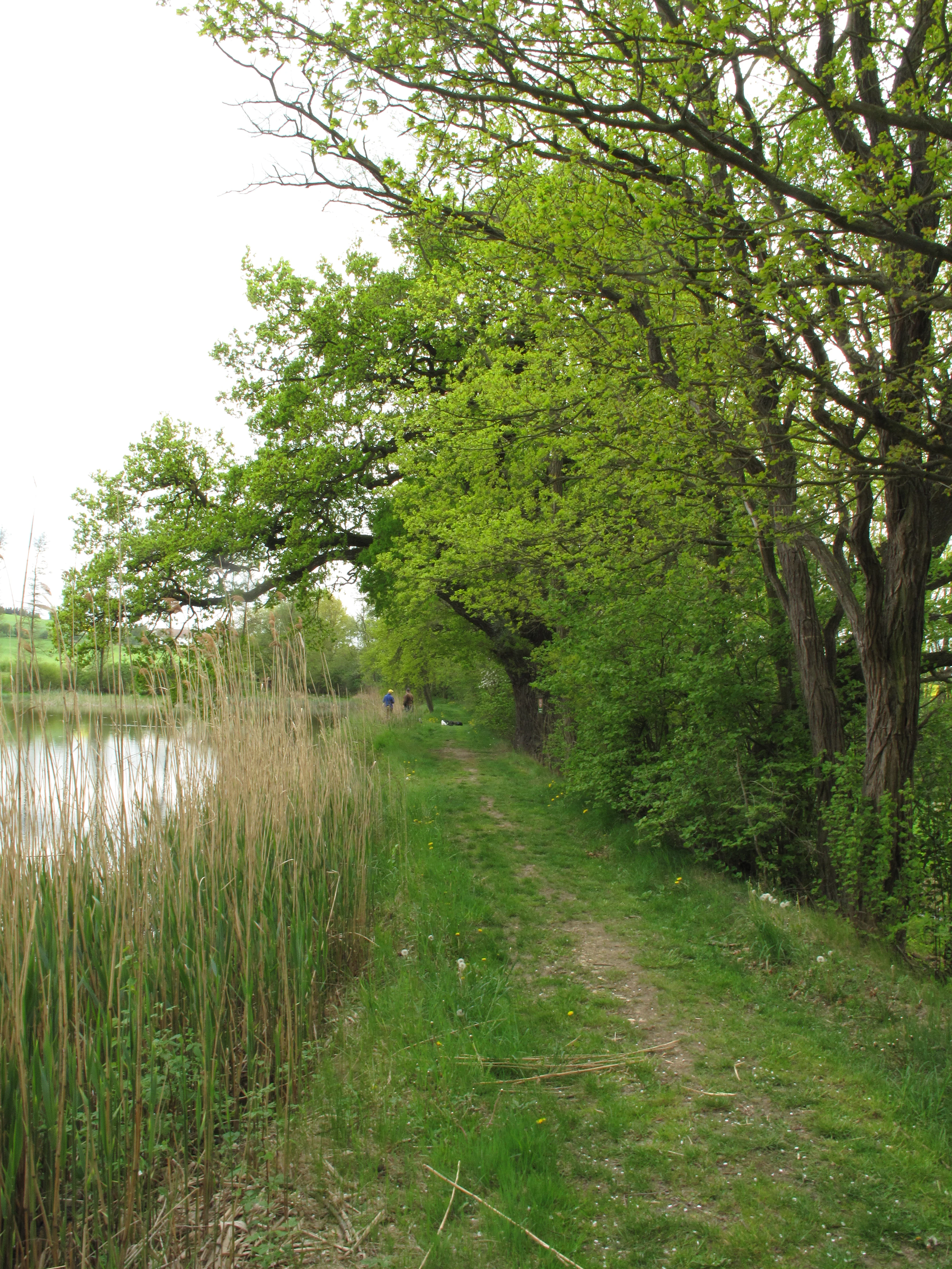
A narrow dirt trail follows the shoreline of a pond, bordered by tall reeds on the left and a lush, green deciduous forest on the right.
A narrow dirt path winding alongside the reed beds of Rybník Louňov.

Rybník Louňov history and protected-area timeline

Rybník Louňov was officially declared a natural monument (přírodní památka) on 15 October 2001. The designation was motivated by the presence of a pond ecosystem supporting numerous populations of specially protected plant and animal species. The site's protection reflects the Czech Republic's practice of formally recognizing small but ecologically significant localities, particularly those tied to traditional fishpond landscapes that still harbor rare wetland flora and fauna.

Prior to its formal protection, the pond and its surrounding vegetation functioned as part of the local agricultural and natural landscape around Načeradec, with the surviving wet-meadow fragments representing remnants of habitats that were once more widespread in the region. There is no broader documented history of earlier reserve status under different names, and the 2001 declaration remains the principal historical event shaping the present-day identity of the site.

Rybník Louňov landscape and geographic character

The landscape of Rybník Louňov is shaped by a small, low-lying pond set within gently rolling Bohemian countryside at an elevation of roughly 454 to 456 meters above sea level. The pond is enclosed by an earthen dam, and its shallow margins grade into dense emergent vegetation rather than steep banks. This gives the site a soft, wetland-dominated visual character rather than a dramatic one.

Surrounding the open water, the terrain transitions into reed-dominated marshland and small surviving patches of original wet meadow. The reeds create a tall, almost continuous wall around much of the shoreline, while the meadow fragments offer a more open, grassy texture in scattered clearings. Together, water, reeds, and damp meadow form the three defining physical elements of the site.

Despite the modest size of the protected area, the contrast between the reflective pond surface, the dense reed stands, and the lighter wet-meadow patches gives the locality a distinctive seasonal rhythm. In summer the reeds dominate visually; in autumn the meadow plants die back, exposing more of the pond's edge; and in winter the open water becomes the most visible feature, attracting waterbirds and underscoring the site's continuing environmental role.
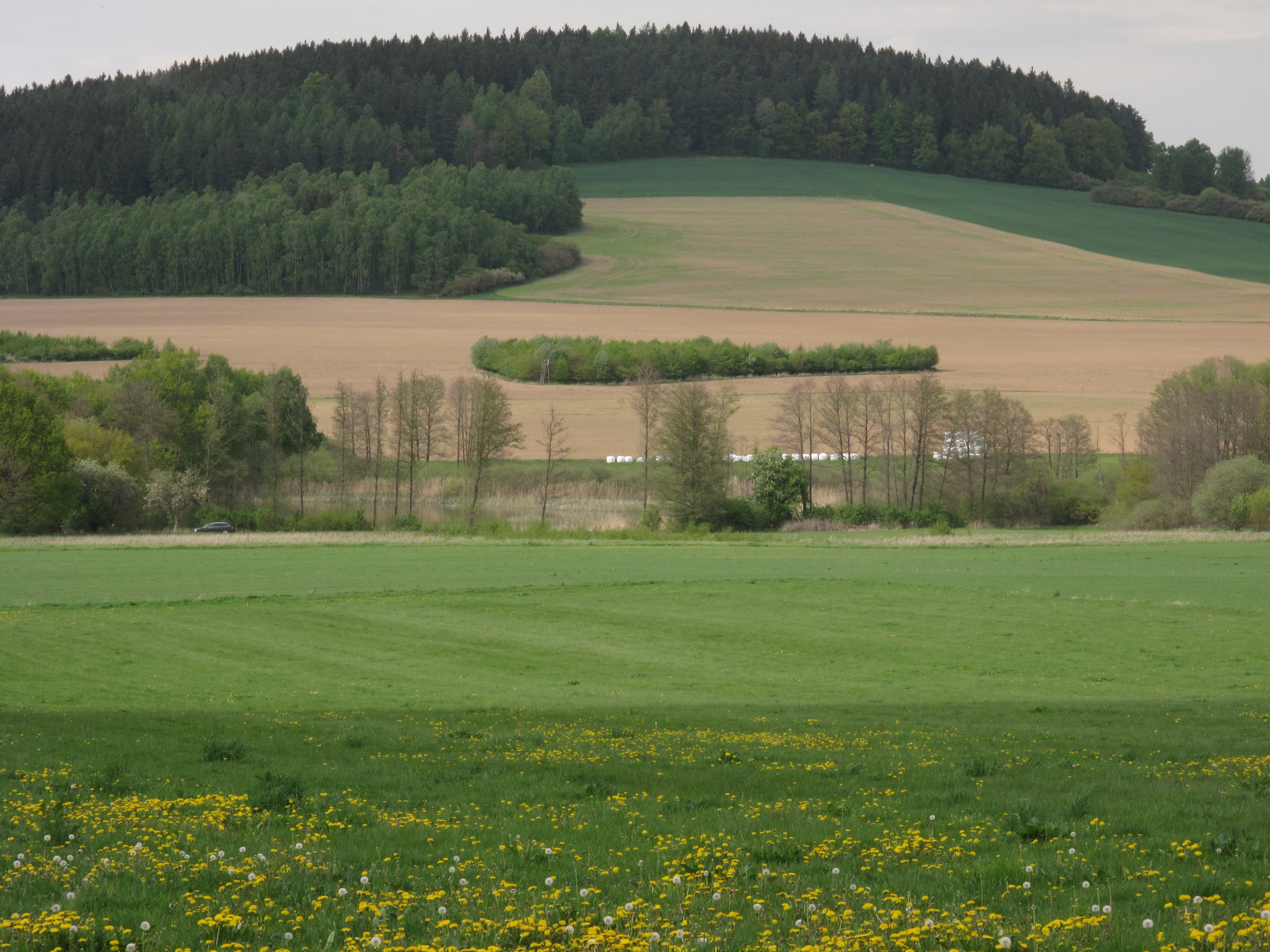
Wide landscape shot showing a meadow with yellow wildflowers in the foreground, leading to cultivated fields, a row of deciduous trees, and a dark green forested hill in the background under an overcast sky.
A view of the landscape surrounding Rybník Louňov, featuring rolling agricultural fields and a forested hill.

Rybník Louňov ecosystems, habitats, and plant life

Ecologically, Rybník Louňov is defined by a pond-and-wetland habitat mosaic that supports a surprising level of biodiversity for its small size. The dominant emergent species is common reed (Phragmites australis), whose tall stands line much of the shoreline and create the structural backbone of the wetland. Within the reedbed and along the margins, the strongly threatened sedge Carex lasiocarpa forms a key component of the vegetation, anchoring the site's specifically protected botanical interest.

Surviving fragments of the original meadow vegetation complement the reed-dominated areas. Among the species of conservation interest found in these fragments is the marsh cinquefoil (Potentilla palustris), a plant strongly associated with intact, undisturbed wet-meadow habitats. The pond itself is colonized by floating pondweed (Potamogeton natans), which contributes submerged aquatic structure important for invertebrates and amphibians.

This combination of open water, emergent reeds, and fragmented wet meadow creates a layered habitat system. Each layer supports different groups of species; together they form an interconnected wetland community whose continued function depends on the protection of the site as a whole rather than on any single component.
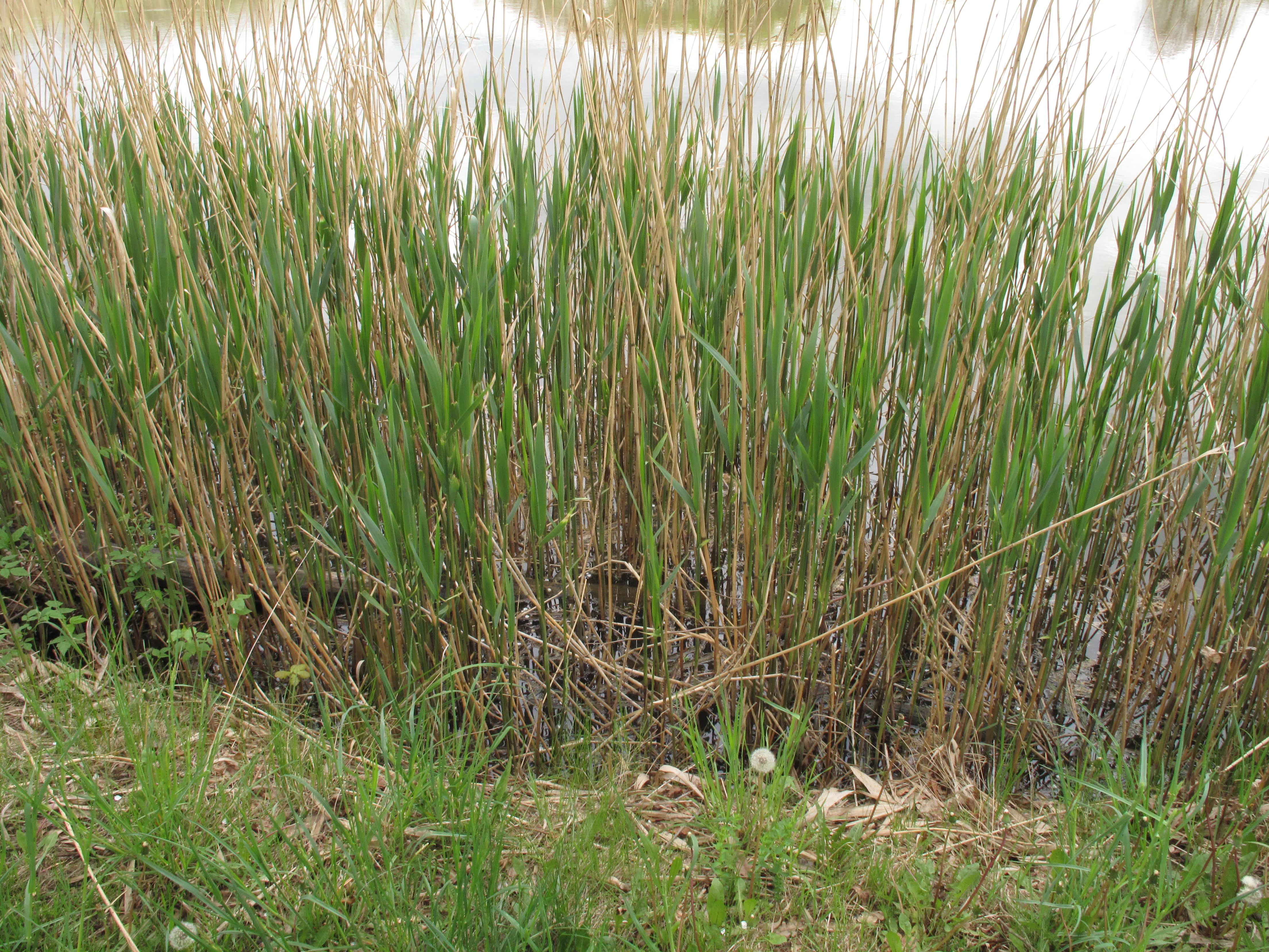
A close up view of tall green and brown reeds growing at the water edge of a pond, with grassy bank in the immediate foreground.
Reeds along the edge of Rybník Louňov pond.

Rybník Louňov wildlife and species highlights

The wildlife of Rybník Louňov reflects the richness typical of small Bohemian fishpond habitats that retain a mix of open water, emergent vegetation, and wet-meadow fragments. Among invertebrates, the strongly threatened pond mussel (Anodonta cygnea) is present in the water, indicating a relatively intact mollusk community within the pond.

The amphibian fauna is particularly notable for a site of this size. The pool frog (Pelophylax esculentus) and the smooth newt (Lissotriton vulgaris), both strongly threatened in the Czech context, use the pond as a breeding habitat. Their presence underscores the value of the open-water and shallow-marsh zones for species that depend on fish-free or low-predation wetlands for successful reproduction.

Among reptiles, the grass snake (Natrix natrix), classified as threatened, is recorded at the site, taking advantage of both the aquatic and the meadow-edge habitats for hunting and shelter. The pond also functions as a nesting and feeding site for waterbirds, with the reedbeds providing cover during the breeding season and the open water supplying feeding habitat, tying the site's ornithological importance to the same habitat mosaic that supports its other wildlife.
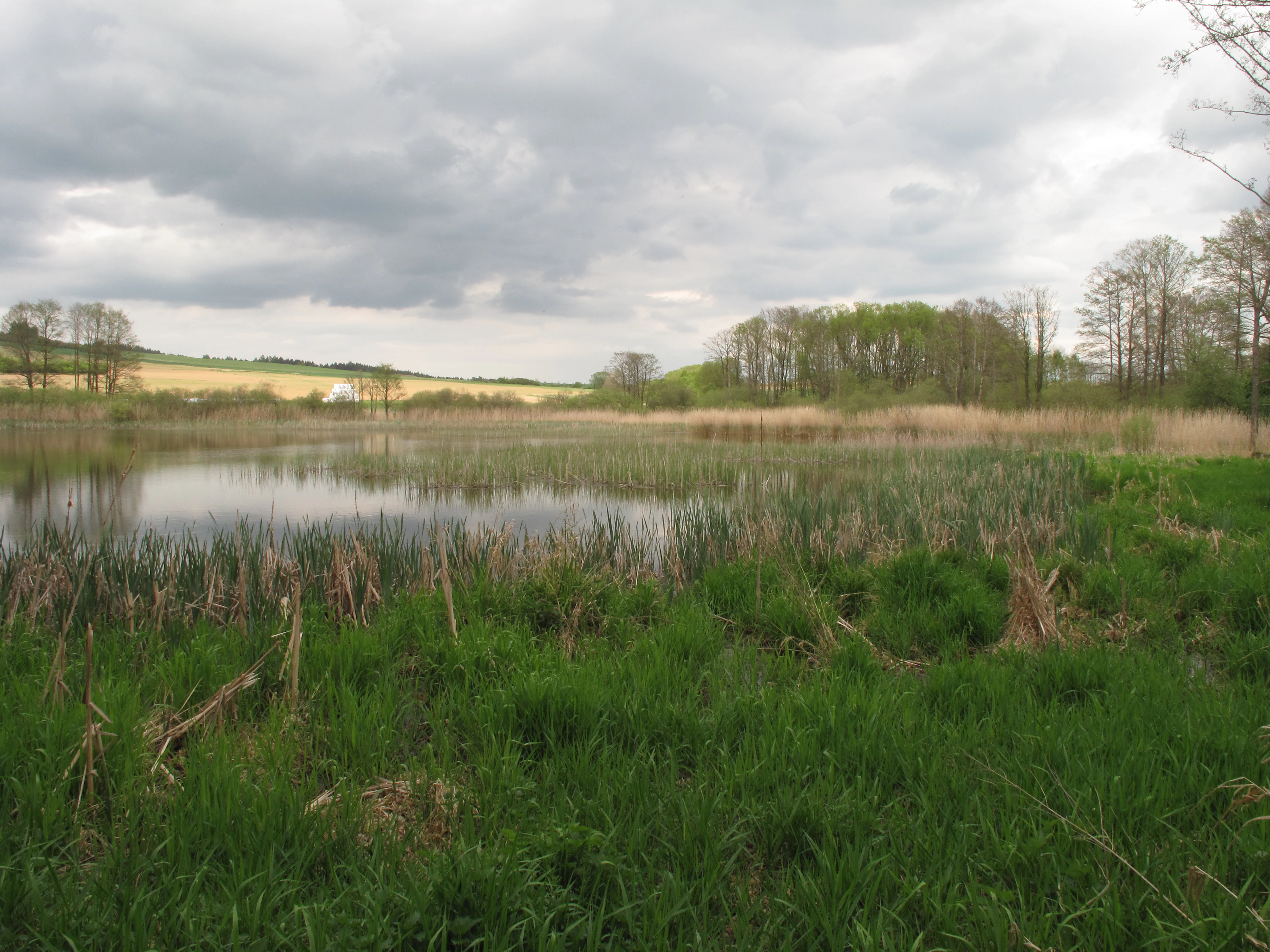
A wide view of a pond with reeds in the foreground and a line of trees in the background under a cloudy sky.
The pond ecosystem at Rybník Louňov natural monument.

Rybník Louňov conservation status and protection priorities

Rybník Louňov was protected because its pond ecosystem supports numerous populations of specially protected plant and animal species, several of which are classified as strongly threatened in the Czech Republic. The site's IUCN Category IV designation reflects its character as a habitat or species management area, focused on maintaining the specific ecological conditions required by these species.

The conservation value of the site lies primarily in the persistence of a functional wetland complex within a heavily modified agricultural region. By safeguarding open water, reedbeds, and surviving wet-meadow fragments together, the protection preserves not just individual rare species but the habitat structure on which they depend. This whole-system approach is typical of small-site protection in the Czech Republic and allows species with strict ecological demands to survive in a landscape otherwise dominated by intensive land use.

Rybník Louňov cultural meaning and human context

Rybník Louňov sits within the traditional Bohemian fishpond landscape, a cultural-ecological heritage shaped over centuries by human management of small water bodies for fish production and farmland water regulation. Many of the smaller ponds in this region, including the one at Louňov, are products of this long tradition, and their ecological value today often arises from the way historic human use preserved open water and damp habitats that would otherwise have been drained.

Top sights and standout views in Rybník Louňov

Rybník Louňov is notable for packing a remarkable range of protected species into a very small area, including rare sedges, marsh plants, threatened amphibians, the pond mussel, and breeding waterbirds. The tightly woven mosaic of open water, dense reeds, and surviving wet-meadow fragments is the defining feature of the site.

Another highlight is the way the locality illustrates the broader importance of small protected sites in the Czech landscape. As a natural monument declared in 2001, Rybník Louňov demonstrates how preserving a single functioning pond ecosystem can maintain habitat for strongly threatened species that would otherwise be lost from intensively farmed countryside.

Best time to visit Rybník Louňov

The most rewarding period to experience Rybník Louňov is late spring through summer, when the reedbeds are in full growth, the floating pondweed is active in the open water, and amphibians are breeding in the shallow margins. During this season, the layered structure of pond, reeds, and meadow vegetation is most visible, and waterbird activity around the shoreline is at its peak.

Autumn and winter change the site's atmosphere considerably. As the reeds die back and the meadow plants retreat, the open water becomes more prominent and is more easily observed; this is also the season when waterbirds concentrate on the pond. Visiting in different seasons therefore offers quite different impressions of the same small wetland.

Monthly climate preview

Long-term representative measurements detailing monthly temperature swings and precipitation patterns for Rybník Louňov

Rybník Louňov Climate Normals, Annual Temperature and Precipitation Rhythm

Rybník Louňov exhibits a measured annual temperature range from negative winter means to peak summer highs near 18.64 degrees Celsius alongside steady precipitation values across twelve months. Consulting the complete monthly climatology profile provides precise insight into long-term weather averages and recorded meteorological baselines.
Annual mean8 °C
-3 °C19 °C
Jan-3°
Feb-2°
Mar
Apr
May12°
Jun16°
Jul19°
Aug18°
Sep13°
Oct
Nov
Dec-2°
Warmest month
July

18.6 °C

Coolest month
January

-3.1 °C

Wettest month
July

2.9 mm/day

Driest month
February

1.3 mm/day

Park location guide

Geography guide, regional context, and park location map for Rybník Louňov

Rybník Louňov park geography, regions, and map view in Czechia

Understand where Rybník Louňov sits in Czechia through a broader geographic reading of the surrounding landscape, nearby location context, and its mapped position within the national park landscape.

How Rybník Louňov fits into Czechia

Czech Republic is a landlocked Central European country with a population of approximately 10.9 million people. The nation was established as an independent state on January 1, 1993, following the dissolution of Czechoslovakia. Its capital and largest city is Prague, with other major urban centers including Brno, Ostrava, Plzeň, and Liberec.

Wider geography shaping Rybník Louňov in Czechia

The Czech Republic is a landlocked country in Central Europe. It is bordered by Germany to the west, Austria to the south, Poland to the northeast, and Slovakia to the southeast. The landscape is predominantly hilly, with the territory covering 78,871 square kilometers.

Map view of Rybník Louňov

Use this park location map to pinpoint Rybník Louňov in Czechia, understand its exact geographic position, and read its mapped placement within the surrounding landscape more clearly.

Pigeon | © OpenStreetMap contributors

Location context for Rybník Louňov

Central Bohemia Region

Explore photographic records of marsh habitats, open water, and protected pond terrain.

Visual Exploration of Rybník Louňov Photos, Landscapes, and Wetland Scenery

Visual documentation captures the unique wetland ecosystem and low-lying terrain surrounding Rybník Louňov across changing seasons. Detailed photography reveals dense reed beds, open water surfaces, and surviving wet meadow fragments that define the protected natural monument.

A narrow dirt trail follows the shoreline of a pond, bordered by tall reeds on the left and a lush, green deciduous forest on the right.

A calm pond reflecting a cloudy sky, surrounded by marshy vegetation and thin trees in a rural landscape.

Wide landscape shot showing a meadow with yellow wildflowers in the foreground, leading to cultivated fields, a row of deciduous trees, and a dark green forested hill in the background under an overcast sky.

A close up view of tall green and brown reeds growing at the water edge of a pond, with grassy bank in the immediate foreground.

A wide view of a pond with reeds in the foreground and a line of trees in the background under a cloudy sky.

Park atlas

Compare nearby wetland reserves, ponds, and protected natural monuments across the region

Explore Parks Near Rybník Louňov and Surrounding Central Bohemian Protected Areas

Browse other parks near Rybník Louňov to examine related wetland habitats, aquatic ecosystems, and conserved natural monuments across the surrounding region. Extending the geographic comparison reveals how small protected landscapes safeguard rare species and specialized regional terrain.
Natural monumentJihočeský kraj
About 2.1 km away#1 closest

Southwest

Vlašimská Blanice Natural Monument: Mapped River Geography and Protected Valley Terrain

A vital riverine habitat in the South Bohemian Region

Vlašimská Blanice forms a protected natural monument around an unregulated, meandering section of the Blanice River. This landscape is defined by its continuous riparian woodland, gravel-rich riverbed structures, and a surrounding mosaic of floodplains and meadows, providing essential habitat continuity within the Jihočeský kraj terrain.

Area
0.304 km²
Established
2014
IUCN
III
Relief
Upland
Natural monumentStředočeský kraj
About 4.2 km away#2 closest

West

Roudný Natural Monument: Mapping Protected Mining Habitats in Středočeský Kraj

Explore the geography of this rare sandy sanctuary for invertebrates and fungi.

Roudný is a specialized natural monument protecting the sandy, nutrient-poor substrate of a former gold mine. The site stands as a significant biological island in Středočeský kraj, supporting species dependent on open, eroded sandy slopes that are now rare in the wider regional landscape. Its compact geography highlights the intersection of industrial history and conservation in the Czech Republic.

Area
0.025 km²
Established
1994
IUCN
IV
Relief
Lowland
Natural monumentStředočeský kraj
About 15 km away#3 closest

North

Na ostrově Natural Monument: Protected Juniper Habitats in Středočeský kraj, Czech Republic

Geographic landscape profile and ecological monument overview

Investigate the natural terrain and conservation value of Na ostrově, a protected site in the Benešov District. This area preserves a rare juniper-dominated hillside, offering insight into dry grassland and heath ecosystems maintained through traditional pastoral management.

Area
0.05 km²
Established
1972
IUCN
IV
Relief
Upland
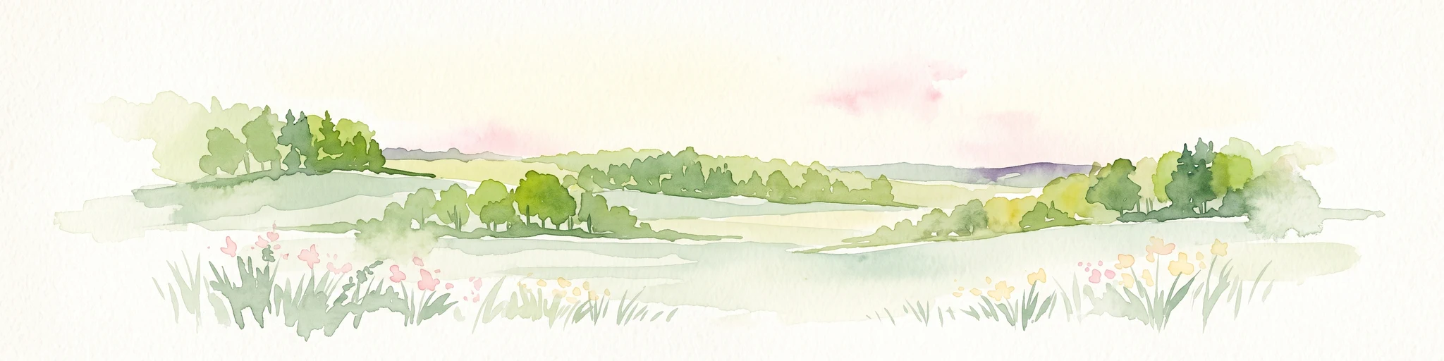
A horizontal watercolor illustration of a gentle, rolling landscape with green fields, patches of forest, and faint pink floral accents in the foreground.
Protected landscapeBenešov District
About 16 km away#4 closest

Northwest

Přírodní park Džbány-Žebrák: Geography and Protected Area Landscape Map

Mapping the forests and meadows of the Benešov District

Přírodní park Džbány-Žebrák offers a distinct look into the central Bohemian uplands, marked by gentle ridges and spring-fed valleys. This protected area supports an interconnected web of small ponds, damp woodland clearings, and rural agricultural mosaics. Use this resource to trace the park boundaries and understand the regional significance of its protected waters, orchid-rich meadows, and varied, bird-populated forests.

Area
53 km²
Established
1996
Water
Major water bodies
Natural monumentStředočeský kraj
About 24 km away#5 closest

North

Na Stříbrné Natural Monument: A Geological and Forest Sanctuary in Central Bohemia

Protected woodland and historical mining terrain

Spanning less than five hectares, Na Stříbrné represents a dense mosaic of metamorphic geology and vibrant woodland habitat. This protected area in Středočeský kraj showcases the persistence of forest flora like mezereon amidst historic industrial relics, offering a clear window into the varied terrain of the Czech landscape.

Area
0.048 km²
Established
1972
IUCN
IV
Relief
Upland
Natural monumentStředočeský kraj
About 33 km away#6 closest

West

Vápenické jezero Natural Monument: Wetland Geography and Protected Landscape in Středočeský kraj

Mapping the ecological features of the Sedlčany Basin.

Located in the Sedlčany Basin, Vápenické jezero is a protected pond system serving as a vital sanctuary for the fire-bellied toad and diverse wetland bird species. This entry provides a detailed look at its spring-fed water body, bulrush-covered surface, and long-standing ecological role in the broader landscape of central Bohemia.

Area
0.084 km²
Established
2013
IUCN
III
Relief
Upland
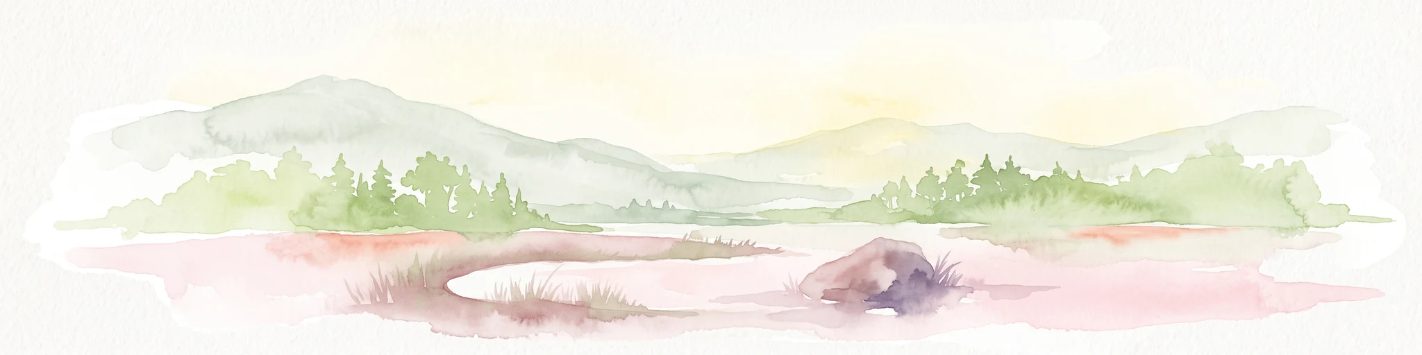
A watercolor painting showing a soft, panoramic landscape with rolling hills, a line of trees, and a small pond or marshy area in the foreground.
Protected landscapeStředočeský kraj
About 36 km away#7 closest

Northwest

Hornopožárský les Nature Park: Atlas of Protected Landscapes in Středočeský kraj

Granite Bedrock and Forested Terrains in Central Bohemia

Trace the undulating ridges and rocky outcrops of Hornopožárský les Nature Park, where central Bohemian geography meets historical quarrying heritage. This protected area offers a deep look into the regional forests and river valley ecosystems characteristic of the lower Posázaví landscape.

Area
25 km²
Established
2002
Relief
Upland
Climate
Temperate
A watercolor painting of a river landscape with rolling hills in the background and soft vegetation along the banks.
Natural monumentJihočeský kraj
About 38 km away#8 closest

Southwest

Smutný Natural Monument: Geographic Profile and Protected Fluvial Landscape in Jihočeský Kraj

A naturally meandering lowland stream corridor in the Czech Republic

The Smutný Natural Monument protects a significant 2.5 kilometer reach of the Smutná River, characterized by its remarkably intact fluvial morphology. Unlike typical agricultural watercourses in the region, this corridor features natural riffle-pool sequences and sediment deposition patterns along a gentle Bohemian valley. The protected site serves as a vital ecological anchor for riparian vegetation and wetland flora, demonstrating how undisturbed stream dynamics shape local terrain and provide persistent freshwater habitats.

Area
0.044 km²
Established
1985
IUCN
III
Relief
Lowland

Common questions about visiting, size, designation, and location context for Rybník Louňov

Rybník Louňov FAQs for park facts, access, geography, and protected area context

Find quick answers about Rybník Louňov, including protected-area facts, park geography, trail and visitor context, and how the park fits into its surrounding country and regional landscape.
MoriAtlas Explorer

Continue Your Protected Areas Search Across the Global Atlas

Deepen your exploration by continuing the structured search for national parks and protected areas worldwide. Utilize the comprehensive filtering capabilities to compare different conservation landscapes and refine your understanding of global park geography. Discover more about the distribution and characteristics of protected natural areas.

Global natural geography