Mori Atlas logo
Park earthquake history

Examine documented epicentre locations, event magnitudes, and depths within the regional geography.

Historical Earthquake Records and Seismic Activity Catalogue for Stavns Fjord, Denmark

Review a structured compilation of seismic events recorded in the vicinity of Stavns Fjord. This catalogue presents data on historical earthquakes associated with the region by epicentre distance, providing a clear reference for researchers and geography enthusiasts. All entries are indexed by date and magnitude to support detailed study of regional seismic patterns near this sheltered coastal wetland.

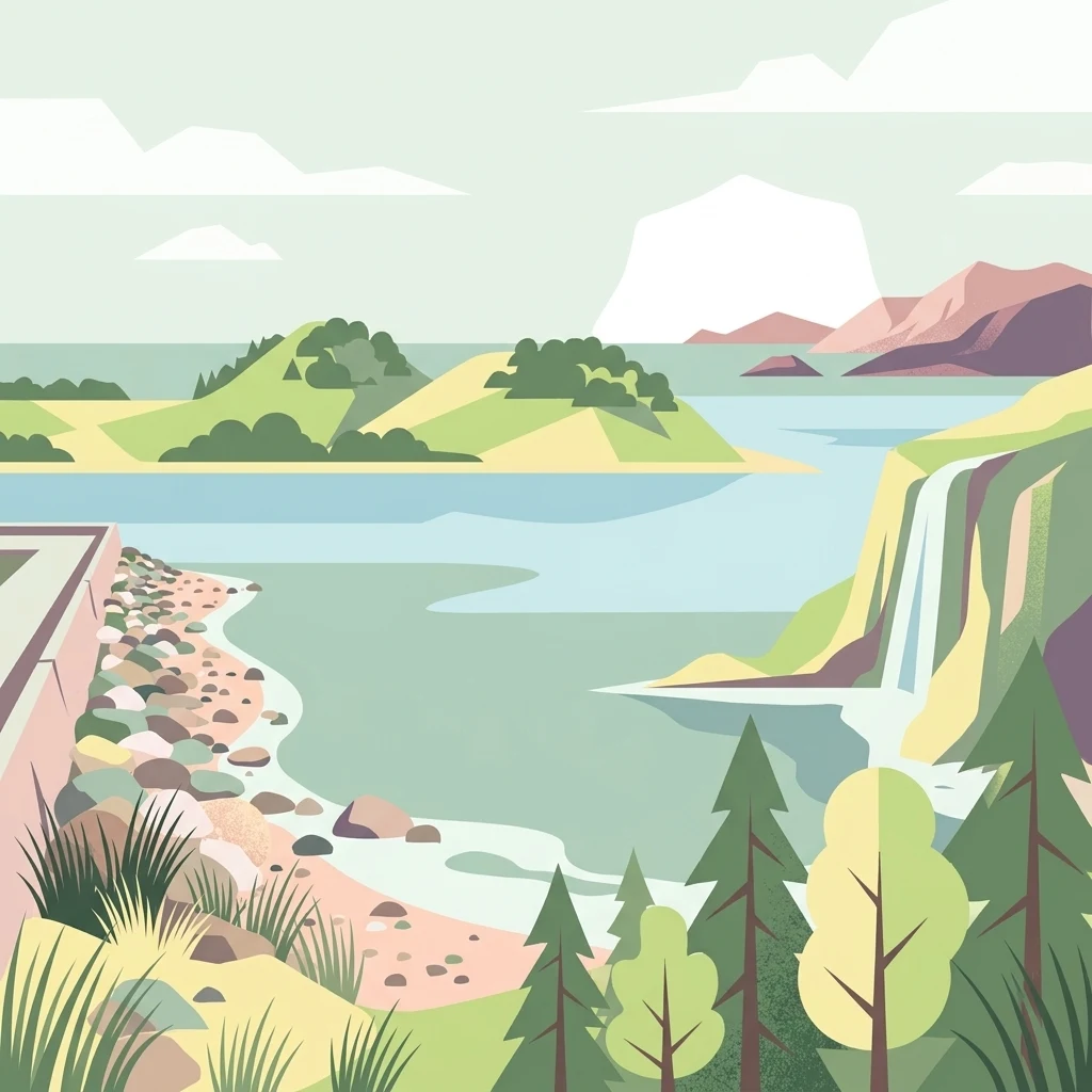
A flat-style vector illustration showing a tranquil fjord or bay with a rocky shoreline, a small waterfall falling from a cliff on the right, and rounded islands in the distance under a pale sky.

A sheltered, island-studded Danish fjord renowned for its rich birdlife and shallow coastal habitats.

Stavns Fjord

Stavns Fjord is a nearly circular, shallow fjord set within the Danish island of Samsø, in the Kattegat. It is enclosed between the northern and southern parts of the island, with the narrow tombolo-like land bridge that connects them forming the western boundary of the fjord. The long, curving spit of Besser Rev on the south provides natural protection, sheltering the calm waters and the many small islets and low islands scattered inside the fjord. Because of its shallow depth, mosaic of islands, tidal flats, and protected status, Stavns Fjord has become one of the most important coastal bird areas in Denmark. It is designated as a Ramsar wetland site, forms part of a larger Natura 2000 area, and is recognized as a national geological interest area. Together with its Viking-age canal, medieval castle ruins, and wartime fortifications, the fjord combines significant natural value with deep human history.

Location
Denmark
Park type
Protected area
Established
1926
Area
20 km²
Stavns Fjord Protected Area

Search Stavns Fjord observations by magnitude and distance

Review documented earthquakes in the wider Stavns Fjord area

Documented earthquakes around Stavns Fjord are related to the protected coastal area by event epicentre and measured distance, not evidence of boundary occurrence. Review dates, magnitudes, depths, reported locations, distance measures, and records without interpreting fjord, island, or coastal features as seismic causes, assessing present hazard, or projecting future activity.

Sort by
Magnitude
Location

This page describes catalogued earthquakes associated with the park by epicentre location and distance. It does not establish causation, assess current danger, or predict future earthquakes.

No earthquake records match the current filters

Park atlas

Go from Stavns Fjord earthquake records to other parks

Continue discovering protected destinations beyond Stavns Fjord

From the Stavns Fjord earthquake records, continue to an unrelated range of parks and protected destinations. Their inclusion does not establish common fjord or island settings, protection status, biodiversity, geology, seismic conditions, proximity, hazards, risk, or equal source availability.
Nature reserveRegion Midtjylland
Mapped location lies within the park boundary#1 closest

Northeast

Natura 2000-område nr. 55 Stavns Fjord, Samsø Østerflak og Nordby Hede Protected Landscapes

Coastal lagoons and glacial islands in Region Midtjylland

Gain insight into the expansive marine and terrestrial geography of this protected site. The area spans a diverse mosaic of salt meadows, dunes, and shallow reefs while supporting critical habitats for waterbirds and seals within the Kattegat sea.

Area
156.63 km²
Established
1981
Relief
Lowland
Climate
Temperate
Watercolor painting depicting a gentle, rolling green landscape leading to a distant blue sea under a pale sky.
Protected areaRegion Midtjylland
2.1 km away#2 closest

Northwest

Nordby Bakker Protected Area: Glacial Moraine and Grasslands in Region Midtjylland

Coastal cliffs, dunes, and rare calcareous ecosystems

Nordby Bakker preserves one of the largest continuous dry grassland complexes in Denmark, set upon a prominent glacial terminal moraine. Located at the northern tip of Samsø, this protected area features a unique synthesis of coastal dunes, beach ridges, and inland lakes that support a distinct array of rare plant and insect species within the central Kattegat region.

Area
6.28 km²
Relief
Upland
Climate
Temperate
Scope
Mixed
A horizontal watercolor painting depicting a soft, rolling landscape with green grassy fields, small clusters of trees, and tall grasses in the foreground.
Protected areaCentral Denmark Region
7.9 km away#3 closest

West

Horsens Fjord, havet øst for og Endelave: Protected Coastal Landscape and Map Context

Mapping island habitats, reefs, and fjord geography in Denmark

Examine the geographic composition of Horsens Fjord, havet øst for og Endelave, a significant Natura 2000 site. This protected area connects inland fjord waters to open Kattegat coastlines, featuring a chain of islands, tidal sand flats, and submerged stone reefs that define this distinct ecological region.

Area
458.23 km²
Established
2011
Relief
Lowland
Climate
Temperate
Watercolor illustration showing rolling hills, a lake, pink flowering trees, and distant mountains
National parkDenmark
14 km away#4 closest

North

Mols Bjerge National Park: Glacial Geography and Protected Terrain in Central Jutland

Mapping the coastal cliffs and rolling heathland of Denmark

Mols Bjerge National Park protects a sweeping mosaic of glacial hills, woodlands, and coastal zones on the Djursland peninsula. With a landscape shaped by ancient ice sheets, the park offers a detailed view into Denmark's geological history, preserved ancient barrows, and rich botanical diversity along the Kattegat sea.

Area
180 km²
Established
2009
IUCN
II
Relief
Upland
Protected areaRegion Midtjylland
22 km away#5 closest

Northwest

Kysing Fjord Protected Area: Coastal Lagoon and Saltmarsh Geography in Region Midtjylland

Mapped coastal lagoon and wetland protected area

Kysing Fjord serves as a significant coastal lagoon system on the eastern Jutland coast. This protected area in Region Midtjylland integrates shallow lagoon waters, saltmarsh meadows, and riverine terrain, offering a precise look at managed coastal landscapes and their ecological importance for wintering bird populations.

Area
3.7 km²
Established
1942
Relief
Lowland
Climate
Temperate
A horizontal watercolor illustration showing a calm coastal bay with grassy banks, winding water channels, and rolling hills in the background under a soft yellow sky.
Protected areaRegion Midtjylland
About 23 km away#6 closest

North

Natura 2000-område nr. 51 Begtrup Vig og kystområder ved Helgenæs Geography and Maps

Coastal grasslands and marine habitats in Region Midtjylland

Examine the complex terrain of Natura 2000-område nr. 51 Begtrup Vig og kystområder ved Helgenæs, an expansive protected area characterized by its diverse coastal cliff systems and large calcareous grasslands. This site documents the evolution of the Kattegat shoreline through its unique recurved spits and lifted seabed formations, providing a window into the natural landscape history of the Helgenæs peninsula.

Area
17.71 km²
Established
2011
Relief
Lowland
Climate
Temperate
Watercolor painting of a calm coastal bay with soft, layered green hills in the distance and a pale shoreline in the foreground.
Protected areaDenmark
About 23 km away#7 closest

North

Begtrup Vig Protected Area: Glacial Terrain and Coastal Geography in Denmark

Coastal landscape and regional protected area mapping

Begtrup Vig is a distinct coastal bay defined by its glacial history, stretching across the southern Djursland peninsula in Denmark. Within the broader Mols Bjerge national park framework, the area features varied topography including stony shores, sandy coves, and pastoral meadows. This record provides a focused look at the environmental boundaries and geographic significance of this protected habitat, bridging natural terrain with the regional landscape context.

Relief
Upland
Scope
Mixed
Water
Water-dominated
Season
Year-round
Nature reserveKalundborg Municipality
23 km away#8 closest

Southeast

Saltbæk Vig Nature Reserve: Geography and Protected Wetland Landscapes in Kalundborg Municipality

A brackish lagoon basin shaped by historic land reclamation efforts.

Saltbæk Vig is a major coastal water body on the northwestern edge of Zealand, Denmark, defined by shallow waters and low-lying wetland terrain. This nature reserve serves as an important regional landmark, where historic drainage embankments now form unique boundaries that define the lagoon's ecological character and protected status.

Area
26 km²
Established
1992
Relief
Lowland
Climate
Temperate
MoriAtlas Explorer

Explore the Geography and Protected Landscapes of Stavns Fjord

Continue your geographic discovery by examining the mapped boundaries and natural terrain of Stavns Fjord. This MoriAtlas entry provides an authoritative look at the sheltered waters, tidal islands, and historic coastal features that characterize one of Denmark's most ecologically significant protected areas.

Global natural geography