
A comprehensive index of the distinctive coastal summits, forest habitats, and terrain formations.
Named Natural Features and Geographic Landscapes of Stenshuvud National Park in Sweden
Discover the complex geographic character of Stenshuvud National Park through a curated collection of its defining natural features. This index tracks the varied landforms, ranging from the prominent Baltic Sea headland and broadleaf forest zones to open heathland and coastal meadow systems. By analyzing these landmarks, observers can better understand the unique geological and ecological composition of this protected area within the Scanian landscape.
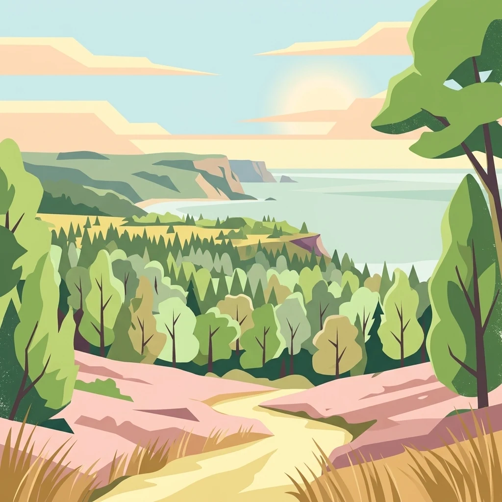
A geographic guide to the prominent Baltic hills, coastal wetlands, and wooded ridges of Scania
Natural Features and Coastal Landforms Associated with Stenshuvud National Park
Mapped coastal features and protected marine boundaries.
Bays
Access a structured inventory of bays found within Stenshuvud National Park. This resource highlights how recessed coastal formations define the transition between the park's iconic ridge, broadleaf forests, and the surrounding Baltic Sea, offering a detailed perspective on the regional topography.
Coastal geography and elevated terrain structures
Ridges
Analyze the ridge features identified within Stenshuvud National Park. This geographic dataset highlights the elongated crests and ground lines that characterize the park's transition from inland forest to the Baltic Sea coastline, providing essential context for understanding the local topography.
Continue Exploring Stenshuvud National Park's Mapped Landscape and Geography
Delve deeper into the protected natural context of Stenshuvud National Park to understand its unique geography and role within Skåne County. The MoriAtlas platform allows for structured exploration of its mapped boundaries, diverse terrain, and surrounding regional landscapes, providing a comprehensive view for any atlas enthusiast.