Mori Atlas logo
National parkStenshuvud National Park

Explore unique broadleaf forests, heathlands, and panoramic coastal geography.

Stenshuvud National Park: Discover Sweden's Prominent Baltic Headland National Park

(Stenshuvuds nationalpark)

Stenshuvud National Park represents a compact yet ecologically rich protected area situated in Skåne County, along Sweden's Baltic Sea coast. This national park is defined by its distinctive 97-meter hill, a prominent landmark rising from the flat coastal landscape, offering sweeping views and a unique geographical identity. Within its approximately 3.9 square kilometers, Stenshuvud National Park showcases a diverse mosaic of habitats, including broadleaf forests dominated by hornbeam and beech, open heathlands, coastal meadows, and wetland areas, supporting an unusual concentration of southern European species. The park's landscape features varied terrain, from rocky summits and forested slopes to sandy beaches, making it an ideal destination for atlas-driven exploration of protected natural areas and regional geography.

Broadleaf ForestCoastal LandscapeHilltop ViewsSouthern SwedenScaniaBaltic Sea

Stenshuvud National Park

National park

Park overview

Structured park overview, official facts, and landscape profile for Stenshuvud National Park

Stenshuvud National Park park facts, protected area profile, and essential visitor context
Review the core facts for Stenshuvud National Park, including designation, size, terrain, visitor scale, habitats, and operating context in one park-focused overview.

About Stenshuvud National Park

Stenshuvud National Park occupies a distinctive coastal position in southeastern Scania, Sweden's southernmost province, where the landscape transitions from the flat agricultural plains toward the Baltic Sea. The park was established in 1986 and remains one of Sweden's smaller national parks by area, yet it packs significant ecological and cultural value into its compact footprint. The central hill, rising 97 meters above sea level, forms the dramatic eastern terminus of the Linderödsåsen ridge, creating a prominent headland that juts toward the Hanöbukten bay. Because the surrounding terrain is predominantly flat, Stenshuvud can be seen from considerable distances, a characteristic that has made it an important navigational landmark for maritime traffic for centuries. The park's location in the mild climate zone of southern Sweden allows for ecological diversity that is unusual in northern European protected areas. Broadleaf deciduous forest covers most of the park, with European hornbeam and beech as the dominant tree species, creating a landscape quite different from the coniferous forests that characterize much of Sweden. The forest floor supports a rich herb layer, particularly in spring when white and yellow anemones bloom abundantly beneath the newly leafing canopy. The southern portions of the park feature more open heathland with scattered juniper and dry-meadow vegetation adapted to sandy soils. The park is traversed by the Skåneleden long-distance hiking trail, which follows a route between Simrishamn and Kivik, ascending to the hill's summit where visitors can enjoy panoramic views across the Baltic Sea on clear days. A naturum visitor center near the park provides interpretive information about the area's geology, ecology, flora, fauna, and human history.

Quick facts and research context for Stenshuvud National Park

Stenshuvud National Park is located in Simrishamn Municipality in Skåne County, along the Baltic Sea coast in southern Sweden. The park was established in 1986 and covers about 3.9 square kilometers centered on a 97-meter-high hill that serves as a prominent landmark in the region. The area is part of the Linderödsåsen ridge system, which ends steeply eastward at the hill before meeting the sea. A section of the Skåneleden long-distance hiking trail traverses the park between Simrishamn and Kivik. The park contains a naturum visitor center providing information about the geology, flora, fauna, and cultural history of the area. The hilltop offers panoramic views across the Baltic Sea and surrounding Scanian landscape.

Park context

Deeper park guide and search-rich context for Stenshuvud National Park

Stenshuvud National Park history, landscape, wildlife, and travel context
Explore Stenshuvud National Park through its history, landscape character, ecosystems, wildlife, conservation priorities, cultural context, and seasonal travel timing in a structured park guide built for atlas discovery and search intent.

Why Stenshuvud National Park stands out

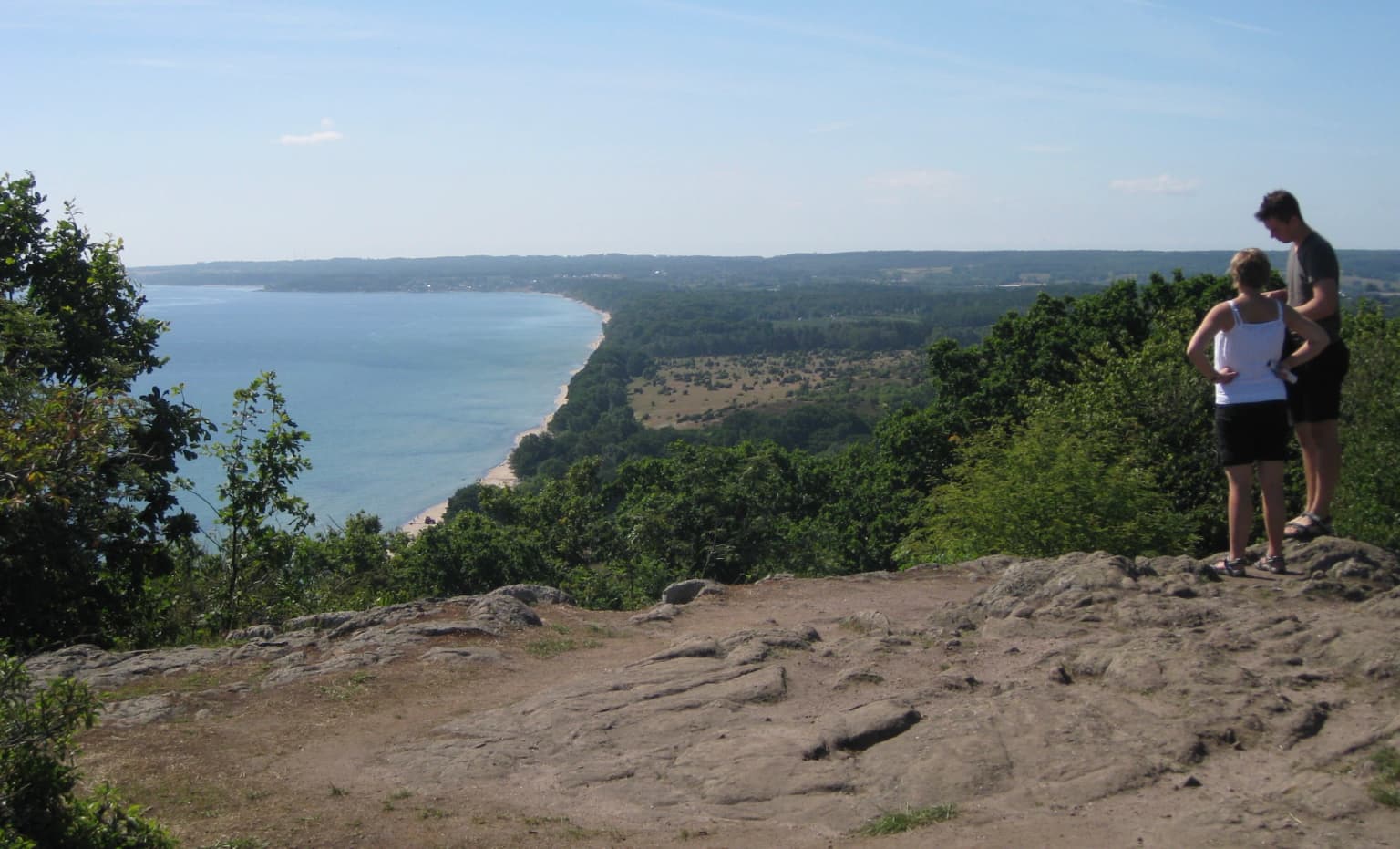
Stenshuvud is best known for its distinctive hilltop setting that provides sweeping views across the Baltic Sea, making it one of Scania's most recognizable natural landmarks. The park protects a remarkable diversity of habitats in a small area, supporting over 600 vascular plant species including several orchid varieties and the rare barren strawberry. The protected area is notable for containing species typically found much further south in Europe, including the hazel dormouse, European tree frog, and agile frog. The combination of broadleaf forest dominated by hornbeam and beech, open heathland with juniper, and coastal proximity creates an unusual ecological character for a Swedish national park. The hill also holds archaeological significance with Iron Age fortress ruins and rich local folklore about giants.

Stenshuvud National Park history and protected-area timeline

Stenshuvud has served as a significant landmark in the Scanian landscape for centuries, with its prominence making it an important navigation point for sailors along the Baltic coast. The hill's name derives from the Swedish term for a large stone, reflecting the massive rocky outcrop that forms its summit. According to local folklore, the hill was named after a giant called Sten (or Stenhogubben) who was said to live inside the mountain with his family and livestock, entering through a cave called Giddastuan. Numerous folk tales describe the giant's activities and misdeeds in the surrounding area. Near the summit, archaeological remains attest to the site's ancient significance - the ruins of a fortified settlement from the Younger Iron Age (5th or 6th century CE) sit on the hilltop, indicating that the location was used for defensive purposes over a thousand years ago. Historical records note that Carl Linnaeus, the famous Swedish botanist, passed through Stenshuvud on May 31, 1749, documenting the hill as a useful landmark for seafarers in his travel journal. The area remained in traditional agricultural use through the centuries, with the landscape shaped by grazing and woodland management. In 1986, Stenshuvud was formally protected as Sweden's twenty-sixth national park, recognizing both its natural values and cultural significance. The park is now managed by Naturvårdsverket (the Swedish Environmental Protection Agency), which maintains the trail network and visitor facilities including the naturum information center.

Stenshuvud National Park landscape and geographic character

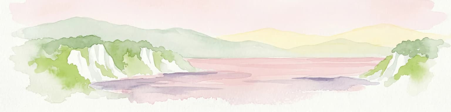
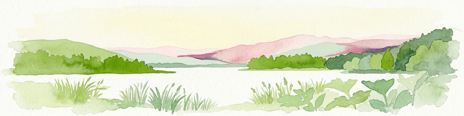
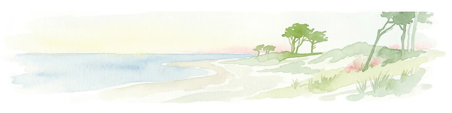
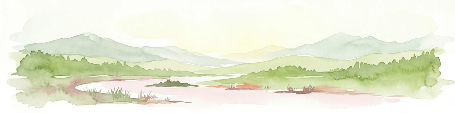
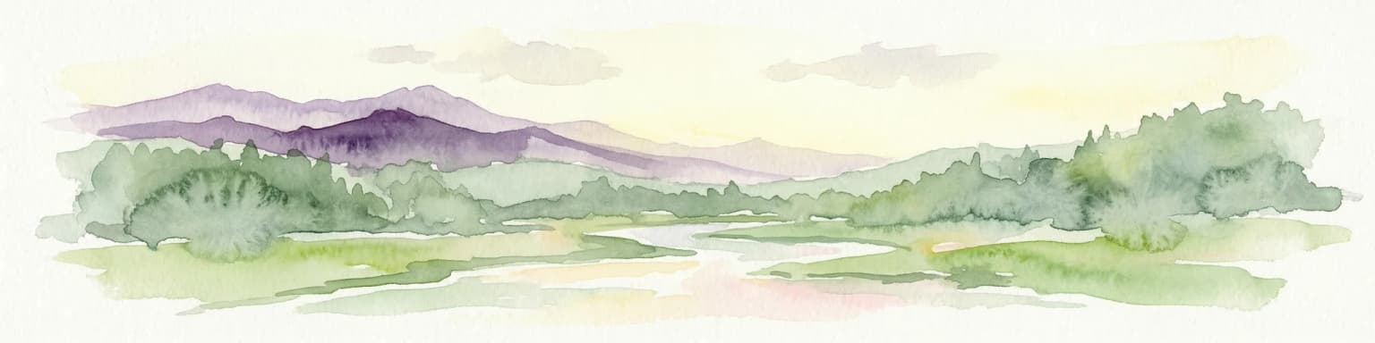
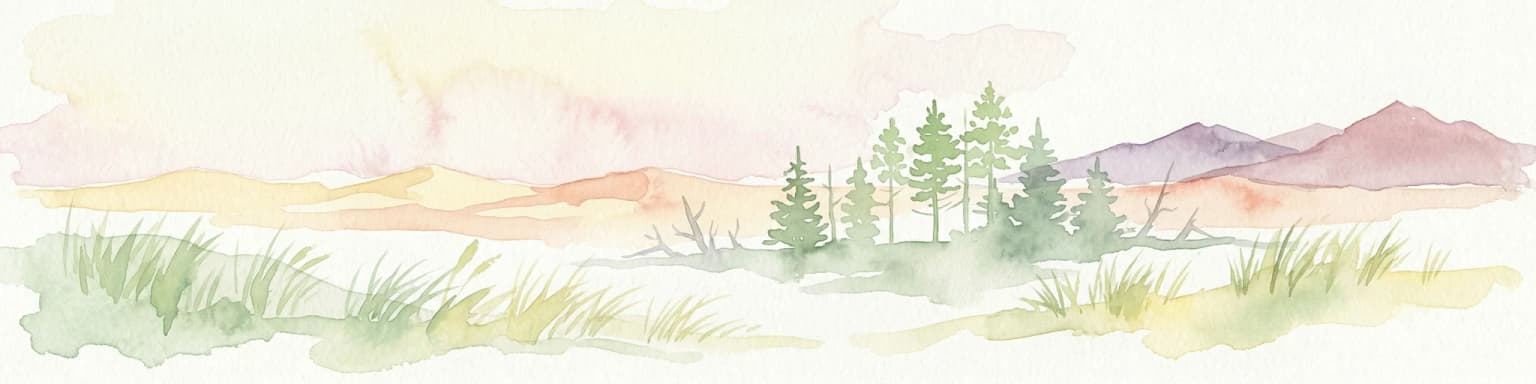
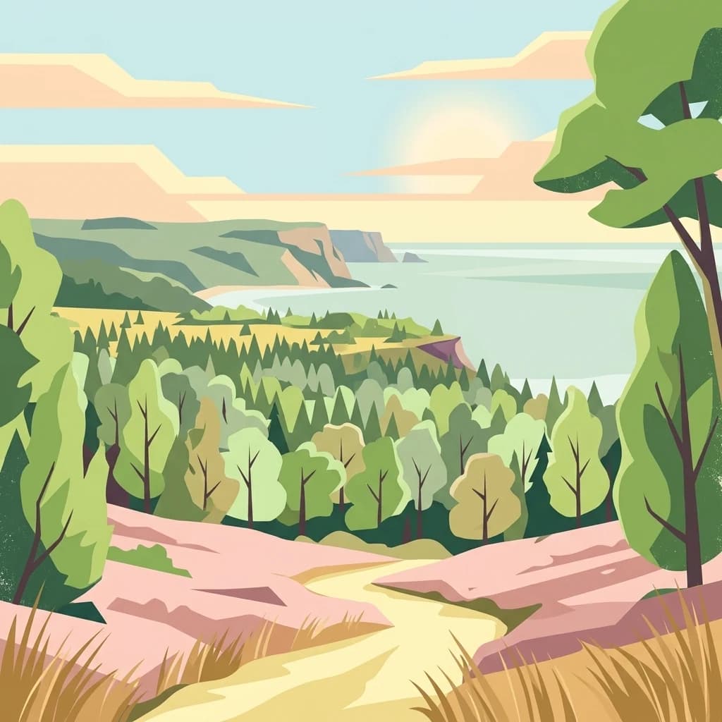
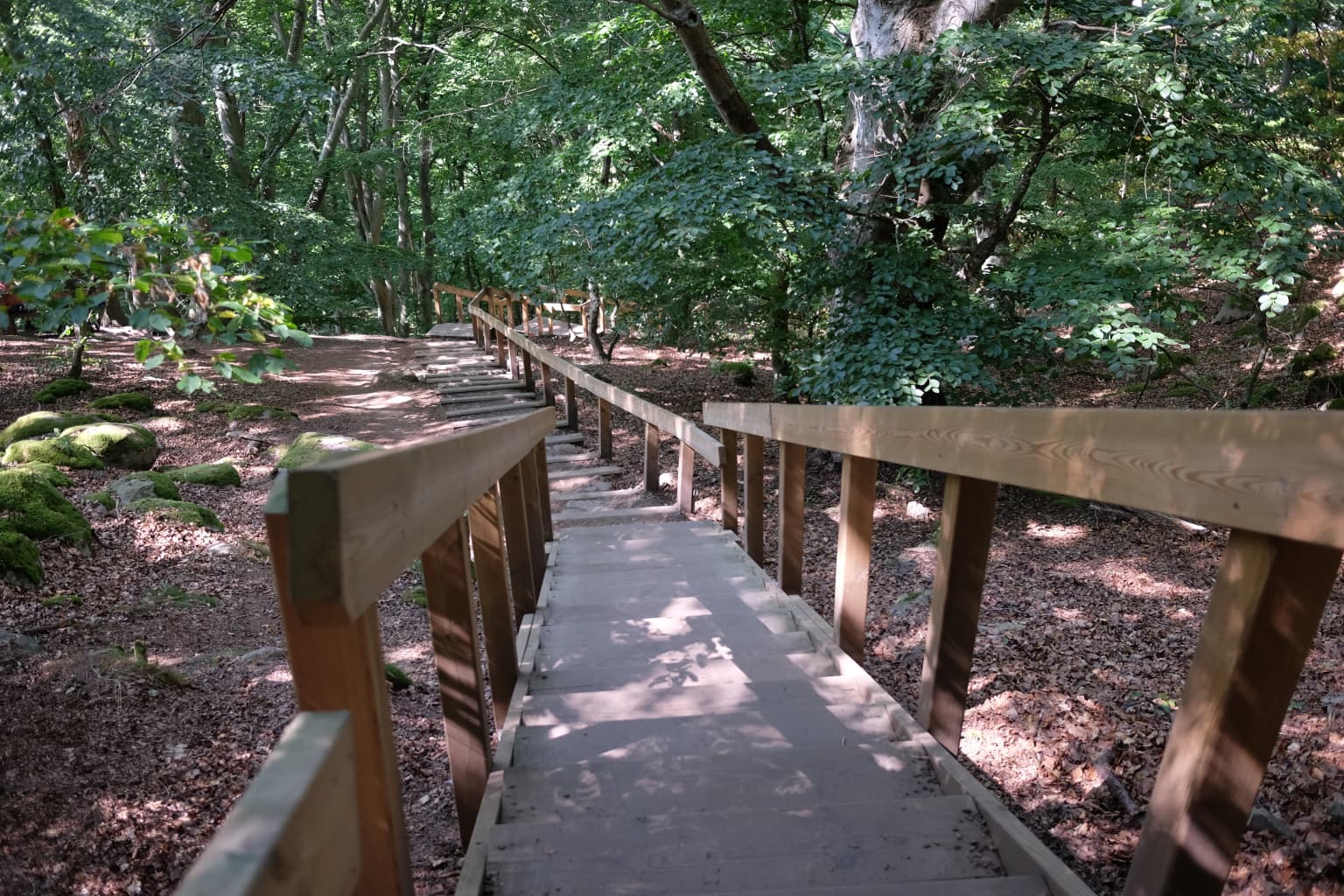
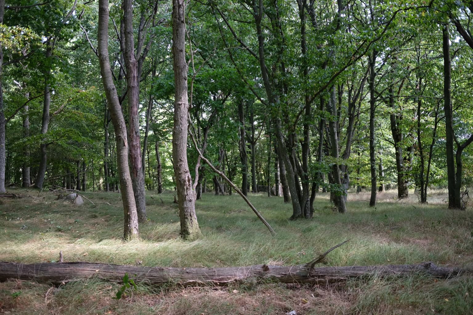
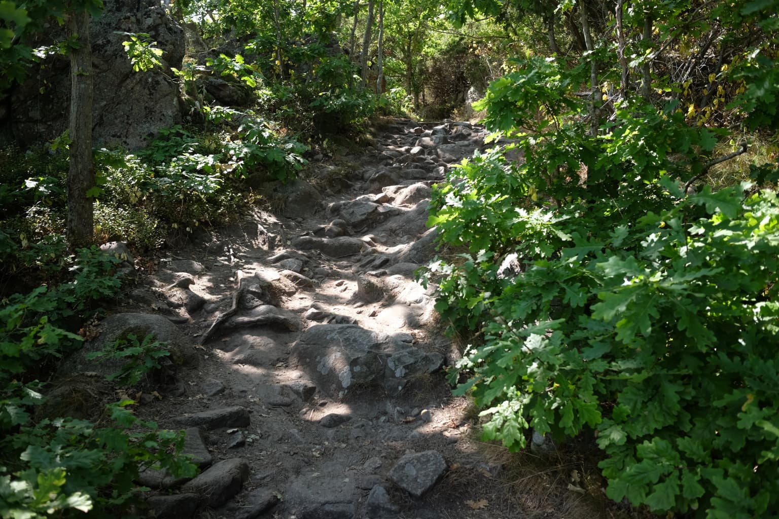
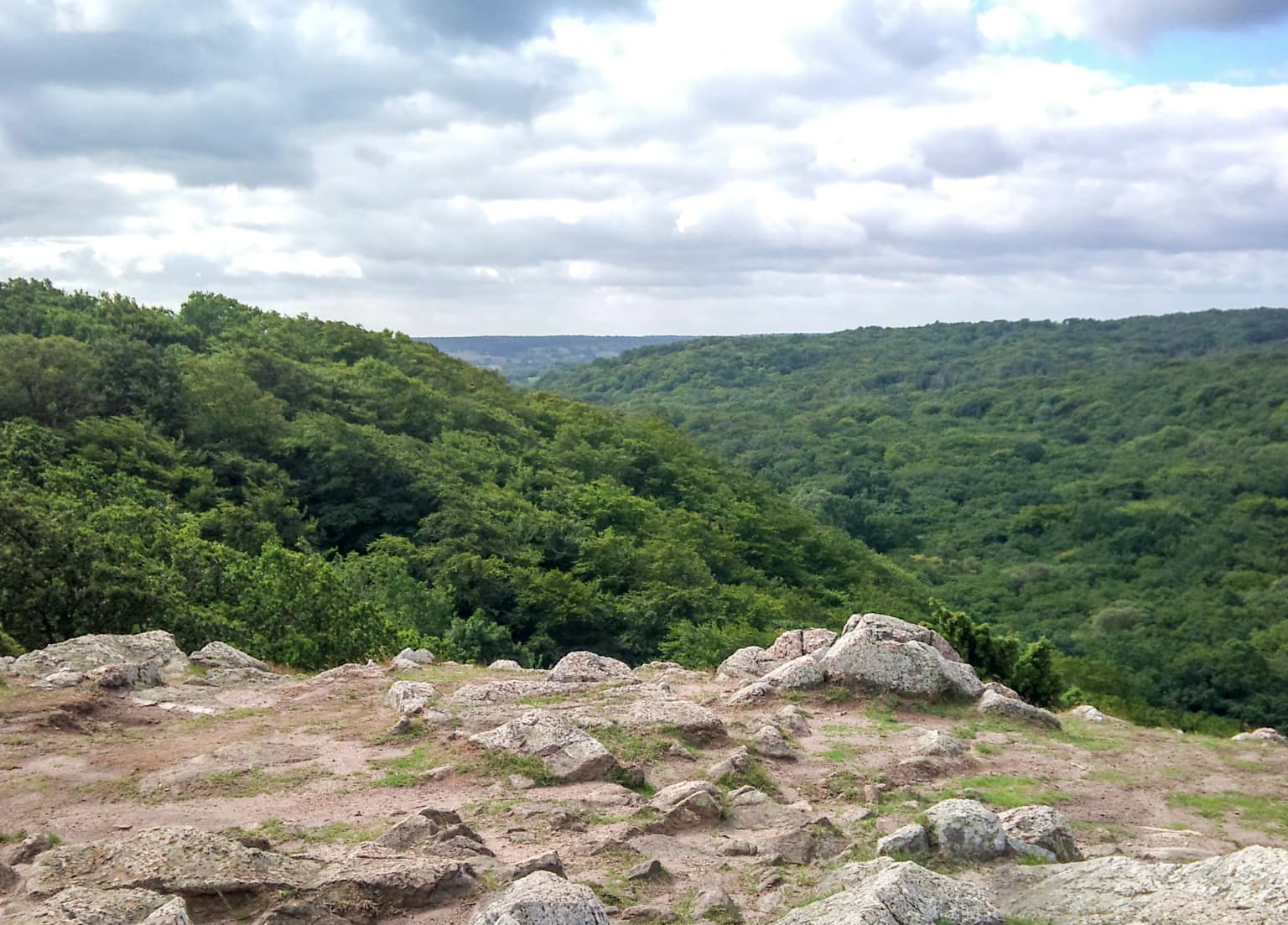
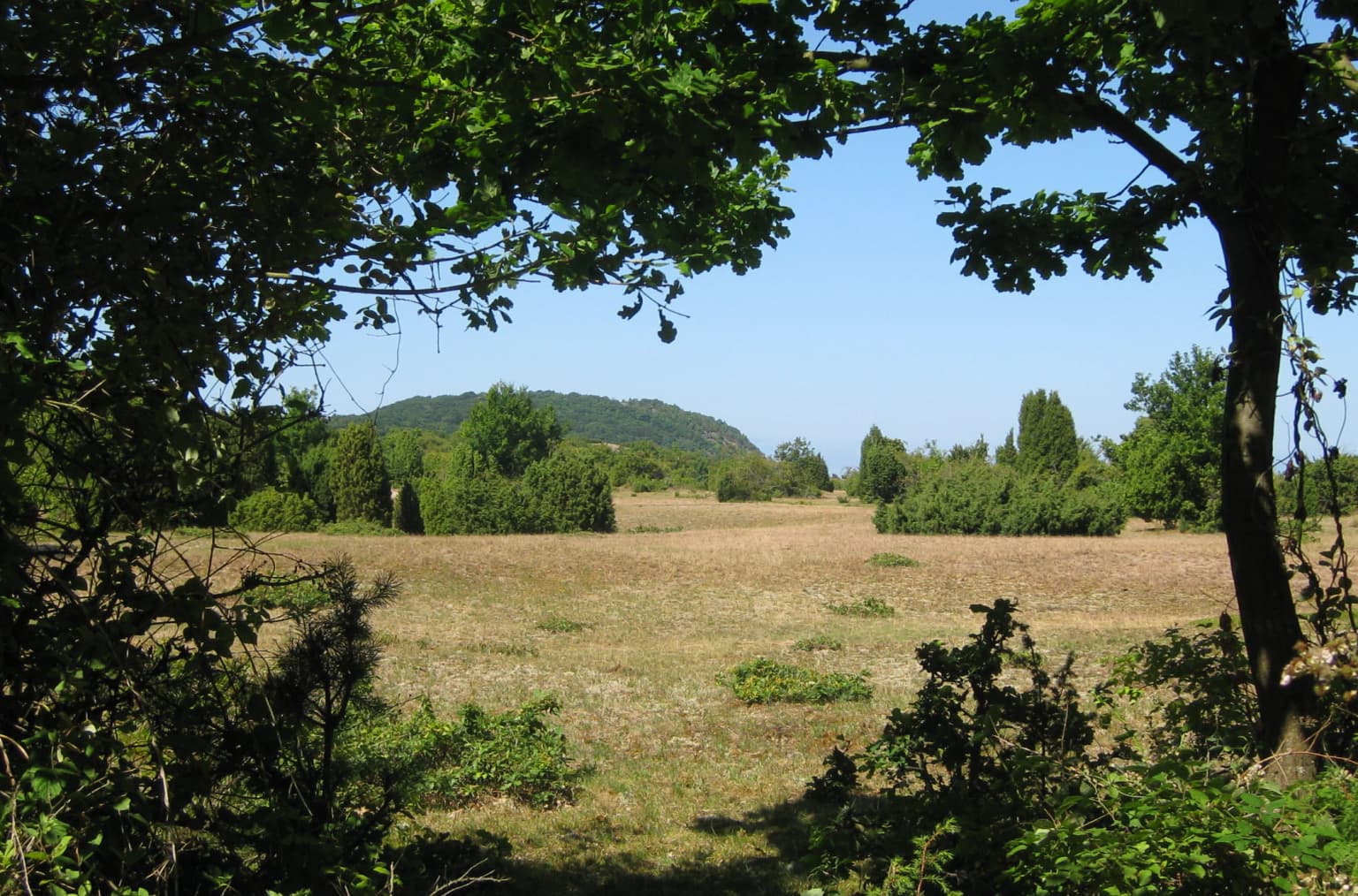
The defining landscape feature of Stenshuvud National Park is the prominent hill itself, which rises abruptly from the flat coastal plain to create a dramatic headland meeting the Baltic Sea. At 97 meters above sea level, the hill represents the highest point in the immediate vicinity and forms the steep eastern termination of the Linderödsåsen ridge system. The hill's western slopes descend more gently toward the interior, while the eastern face drops more sharply toward the sea, creating varied terrain within the small park boundaries. The summit offers extensive views both inland across the Scanian farmland and seaward across the Baltic, making it a popular destination for visitors seeking panoramic perspectives. Below the hill, a sandy beach provides recreational swimming opportunities along the coast. The park contains a diversity of terrain within its boundaries - forested slopes, rocky summits, open heath areas, meadow grasslands, and wetland depressions. The forest is predominantly broadleaf deciduous, with European hornbeam forming the dominant canopy species in many areas, accompanied by beech in the more fertile locations. The southern portions of the park feature more exposed heathland on sandy soils, where juniper grows in scattered clumps among heather and dry-meadow vegetation. Stone-covered hiking trails ascend from the base to the summit, winding through the various habitat types.

Stenshuvud National Park ecosystems, habitats, and plant life

The ecological character of Stenshuvud is defined by the combination of mild southern Swedish climate, diverse habitat types, and the park's position along the Baltic coast. Broadleaf deciduous forest covers the majority of the park area, with European hornbeam as the dominant tree species, creating woodlands that are more typical of central Europe than of Scandinavia. The forest structure supports a rich understory of herbs and shrubs, and in spring the beech forests are carpeted with white and yellow anemones. The park supports approximately 600 vascular plant species, a remarkable diversity for such a small area, including several species of orchids. The rare barren strawberry (a type of potentilla) is among the notable plant records. The habitat mosaic includes open heathland in the southern section, where sandy soils support dry-adapted species including sand sedge, bristle grass, heather, and wild thyme. Meadows and swampy areas add further ecological variety. The mild climate allows species at the northern edge of their range to thrive here, including many that are uncommon or absent elsewhere in Sweden. The park's position along the coast also influences its ecological character, with maritime influences affecting species composition.

Stenshuvud National Park wildlife and species highlights

Stenshuvud National Park supports an unusual collection of wildlife for Sweden, with several species present that are more typical of southern Europe and are rare or absent in other parts of the country. The hazel dormouse is one of the park's notable mammalian species, a small rodent that is near the northern limit of its range here. The park also provides habitat for the European tree frog and the agile frog, two amphibian species that reach the northern edge of their distribution in Scania. Birdlife is diverse, with the Eurasian golden oriole among the more distinctive species recorded. The nightingale's song is mentioned as a characteristic sound of the park during breeding season. The varied habitats - forest, heath, meadow, and wetland - support a range of bird species appropriate to each habitat type. The combination of broadleaf forest, open heathland, and proximity to the Baltic Sea creates conditions suitable for a mix of species that would not be found together in more northerly or more homogeneous Swedish landscapes. The park's small size and diverse habitats allow for ecological interactions within a compact area.

Stenshuvud National Park conservation status and protection priorities

Stenshuvud National Park represents an important conservation designation for the distinctive broadleaf forest ecosystems and southern Swedish coastal habitats found in Scania. The park protects one of the few areas in Sweden where hornbeam-dominated woodland forms a significant component of the forest, a habitat type that is more common in central Europe but rare in the Nordic countries. The high plant species richness, with over 600 vascular plant species in a small area, reflects both the mild climate and the diversity of habitats preserved within the park boundaries. The presence of species at the edge of their northern range, including several amphibians and the hazel dormouse, gives the park significance for biodiversity conservation beyond its local context. The park also preserves archaeological heritage with the Iron Age fortress remains, representing a combination of natural and cultural conservation values. As one of Sweden's national parks managed by the Environmental Protection Agency, Stenshuvud receives formal protection under Swedish environmental law, with management focused on maintaining natural processes while providing opportunities for public enjoyment and environmental education.

Stenshuvud National Park cultural meaning and human context

The Stenshuvud area carries significant cultural heritage that extends beyond its natural values. The hill has been an important landmark in the regional landscape for centuries, serving as a navigation point for sailors along the Baltic coast - a function reflected in the documented history of the site being noted as a useful landfall for maritime traffic. The hilltop contains archaeological evidence of human use dating to the Younger Iron Age, with the remains of a fortified settlement indicating the site's strategic importance over a thousand years ago. Local folklore adds another layer of cultural significance, with legends describing a giant called Sten (or Stenhogubben) who was said to inhabit the mountain. This oral tradition has given the hill its name and connected the landscape to the region's storytelling heritage. The visit by Carl Linnaeus in 1749, documented in his travel journal, demonstrates the hill's historical prominence as a site of scientific and descriptive interest. The park's position in Scania, Sweden's historically Danish-influenced southern province, also gives the area a distinct cultural identity within the Swedish context.

Top sights and standout views in Stenshuvud National Park

Stenshuvud National Park offers a compact but varied experience centered on a prominent hill with panoramic views across the Baltic Sea. The park's broadleaf forests, dominated by hornbeam and beech, create an atypical Swedish landscape more reminiscent of central European woodlands. Spring brings spectacular wildflower displays in the forest understory, while the southern heathlands support heather and juniper on sandy soils. The hilltop provides sweeping views on clear days, and the coastal location means visitors can combine forest exploration with beach recreation at the sandy shore below. The Skåneleden hiking trail passes through the park, offering marked routes through the diverse terrain. A naturum visitor center provides interpretive information about the park's natural and cultural features. The combination of rare southern species, archaeological remains, and local legends adds depth to the visitor experience beyond simple scenic appreciation.

Best time to visit Stenshuvud National Park

Stenshuvud can be enjoyed throughout the year, though different seasons offer distinct experiences. Spring, particularly May and early June, brings the most spectacular wildflower displays as the forest floor blooms with white and yellow anemones beneath the fresh beech leaf canopy. This is also when birdlife is most active, with singing nightingales and other breeding birds making the forest alive with sound. Summer offers warm weather suitable for combining forest walks with beach visits at the shore below the hill, though this is also the peak visitation period. Autumn provides another season of interest as the deciduous forest takes on fall colors, and the relative quiet after summer's crowds allows for a more contemplative experience. The hilltop view is rewarding in any season, though winter visits are less common due to shorter days and potentially inclement weather. The mild Scanian climate means the park is accessible for much of the year, though visitor facilities may have more limited hours outside the summer season.

Park location guide

Geography guide, regional context, and park location map for Stenshuvud National Park

Stenshuvud National Park park geography, regions, and map view in Sweden
Understand where Stenshuvud National Park sits in Sweden through a broader geographic reading of the surrounding landscape, nearby location context, and its mapped position within the national park landscape.

How Stenshuvud National Park fits into Sweden

Sweden, formally the Kingdom of Sweden, is a highly developed Nordic country on the Scandinavian Peninsula in Northern Europe. With a population of 10.6 million and an area of 450,295 km², it is the largest Nordic country by both area and population. Sweden is a constitutional monarchy with Stockholm as its capital and largest city, known for its advanced economy, social welfare system, and membership in the European Union and NATO.

Wider geography shaping Stenshuvud National Park in Sweden

Sweden occupies the eastern portion of the Scandinavian Peninsula in Northern Europe. It borders Norway to the west and north, Finland to the east, and shares a maritime border with Denmark to the southwest across the Øresund. The country has an extensive coastline along the Baltic Sea and Gulf of Bothnia, dotted with thousands of islands. The terrain varies from mountainous regions in the northwest to low-lying coastal areas and inland lakes in the south and central parts.

Map view of Stenshuvud National Park

Use this park location map to pinpoint Stenshuvud National Park in Sweden, understand its exact geographic position, and read its mapped placement within the surrounding landscape more clearly.

Pigeon | © OpenStreetMap contributors

Location context for Stenshuvud National Park

Skåne County
Park atlas

Trace Sweden's Diverse Protected Landscapes, Comparing Regional Park Geography and Coastal Features

Explore Nearby National Parks and Protected Areas Beyond Stenshuvud National Park
After exploring Stenshuvud National Park's distinctive coastal landscapes and broadleaf forests, continue your geographic discovery by browsing other protected areas throughout Sweden. Compare varied regional park features and trace the spread of protected natural heritage across diverse terrains within the broader Scandinavian context.
Watercolor painting of green trees on rolling hills under a pink and orange sunset
National park

Dalby Söderskog National Park: Explore Southern Sweden's Smallest Protected Deciduous Forest

Unique limestone geology, spring flowers, and mapped terrain.

Dalby Söderskog National Park, though only 36 hectares, offers exceptional botanical discovery rooted in its fertile limestone soils. This protected area in Scania, Sweden, showcases a dense deciduous forest ecosystem with remarkable diversity, particularly evident in its vibrant spring wildflower displays. Use MoriAtlas to explore the park's mapped boundaries and understand its significant role within the regional geography and broader protected landscape atlas.

Area
0.36 km²
Established
1918
IUCN
II
Relief
Lowland
Watercolor painting showing chalk cliffs along a coastline with calm water and distant hills
National parkMecklenburg-Vorpommern

Jasmund National Park: Germany's Coastal Chalk Cliffs and Primeval Forest Landscape

Explore the protected geography of Mecklenburg-Vorpommern's Rügen island.

Jasmund National Park showcases one of Northern Europe's most dramatic natural formations, defined by its striking white chalk cliffs plunging into the Baltic Sea and its UNESCO-recognized primeval beech forests. This protected area offers a profound look into geological heritage and undisturbed forest ecosystems. Navigate its mapped boundaries and understand its unique landscape context within the Mecklenburg-Vorpommern region through detailed atlas exploration on MoriAtlas.

Area
30 km²
Established
1990
IUCN
II
Visitors
300K annual
National park

Kongernes Nordsjælland National Park: Protected Landscape Geography and Map Context

Explore North Zealand's protected natural terrain.

Delve into the protected landscape of Kongernes Nordsjælland National Park, a significant national park in Denmark's North Zealand region. This section provides a structured overview of its mapped boundaries and geographic setting, allowing for a detailed atlas-style discovery of its natural terrain. Understand how this protected area contributes to the region's conservation landscape and mapped geography.

Watercolor illustration showing a coastal lagoon with sandy shoreline, calm water, sand dunes, and sparse vegetation including trees and grasses
National parkMecklenburg-Vorpommern

Western Pomerania Lagoon Area National Park: Detailed Geographic and Protected Landscape Context

Explore its mapped boundaries and unique Baltic Sea coastal geography.

Western Pomerania Lagoon Area National Park is a vital protected landscape in Mecklenburg-Vorpommern, renowned for its complex network of peninsulas, islands, and extremely shallow brackish 'bodden' waters. This page serves as an atlas entry, detailing the park's geographic features, its distinctive wind-driven water level fluctuations, and its ecological importance as a major migratory bird staging area. Users can investigate the mapped extent of this significant German national park and understand its unique place within the regional geography.

Area
805 km²
Established
1990
IUCN
II
Relief
Lowland
Watercolor painting of a landscape featuring mountains, wetland, and forest
National parkJönköping County

Store Mosse National Park: Explore Sweden's Largest Bog Landscape & Protected Area

Detailed park map, geography, and peatland ecosystem context.

Delve into Store Mosse National Park, a significant protected landscape in Jönköping County, Sweden, celebrated for its vast peat bog, the largest south of Lapland. This page provides detailed geographic context, mapping its unique wetland terrain, interspersed lakes like Kävsjön, and surrounding pine forests. Understand the park's ecological importance as a Ramsar site and its place within the South Småland peneplain for structured natural area discovery.

Area
78.5 km²
Established
1982
IUCN
II
Relief
Lowland
Watercolor painting depicting mountains, rivers, and green terrain
National parkWest Pomeranian Voivodeship

Wolin National Park: Coastal Protected Landscape and Glacial Terrain in West Pomeranian Voivodeship

Explore Poland's first marine national park and its dynamic geography.

Wolin National Park offers a profound look into Poland's protected coastal geography. This national park in the West Pomeranian Voivodeship is distinguished by its high sea cliffs, inclusion of Baltic Sea and Szczecin Lagoon waters as Poland's first marine protected area, and a landscape sculpted by glacial moraines. Discover the park's complex delta systems, ancient forests, and the mapped terrain that supports significant bird migration, providing a rich focus for atlas exploration.

Area
109.37 km²
Established
1960
IUCN
II
Visitors
1.5M annual
National parkPomeranian Voivodeship

Slovincian National Park: Moving Dunes and Baltic Coast Protected Landscape Exploration

Discover its unique geography and mapped terrain.

Slovincian National Park is a protected area in Pomeranian Voivodeship, Poland, celebrated for its impressive moving sand dunes and coastal wetland ecosystems. These dynamic dunes, some reaching 30 meters high, migrate inland, creating an ever-changing landscape. The park also features large shallow lakes like Łebsko and Gardno, vital for migratory birds. Explore the mapped boundaries and geographic context of this significant protected area, a Ramsar site and UNESCO biosphere reserve.

Area
186.18 km²
Established
1967
IUCN
II
Visitors
319K annual
National park

Blå Jungfrun National Park: Baltic Sea Island National Park with Blue Granite Cliffs

Explore its mapped boundaries and distinct coastal terrain.

Blå Jungfrun National Park is a distinctive Swedish national park situated on a Baltic Sea island, immediately recognizable by its prominent blue-hued granite cliffs. As a protected landscape, it offers a unique glimpse into island ecosystems and rugged coastal geography. MoriAtlas provides detailed context for its mapped boundaries, showcasing the natural and geological significance of this solitary protected area within the regional atlas.

Relief
Mixed relief
Access
Moderate access
Scope
Mixed
Water
Major water bodies

Common questions about visiting, size, designation, and location context for Stenshuvud National Park

Stenshuvud National Park FAQs for park facts, access, geography, and protected area context
Find quick answers about Stenshuvud National Park, including protected-area facts, park geography, trail and visitor context, and how the park fits into its surrounding country and regional landscape.
MoriAtlas Explorer

Continue Your Protected Areas Search Across the Global Atlas

Deepen your exploration by continuing the structured search for national parks and protected areas worldwide. Utilize the comprehensive filtering capabilities to compare different conservation landscapes and refine your understanding of global park geography. Discover more about the distribution and characteristics of protected natural areas.

Global natural geography