Mori Atlas logo
National parkWolin National Park

Discover dramatic sea cliffs, ancient forests, and wetland deltas within West Pomeranian Voivodeship.

Wolin National Park: Poland's First Marine National Park and Glacial Coastal Landscape

(Woliński Park Narodowy)

Wolin National Park, situated in the West Pomeranian Voivodeship, represents a significant protected landscape in northwestern Poland. Established as a national park and later pioneering Poland's first marine protected area, it preserves a unique coastal geography shaped by glacial moraines and active sea cliffs. Explore the park's varied terrain, from dramatic Baltic headlands to wetland deltas, all within a crucial migratory corridor for over 230 bird species.

National parkCoastal cliffsMarine protected areaBaltic SeaOld-growth forestBird migration
Illustrated landscape with river, cliffs, village, and green hills under a partly cloudy sky

Wolin National Park

National park

Park overview

Structured park overview, official facts, and landscape profile for Wolin National Park

Wolin National Park park facts, protected area profile, and essential visitor context
Review the core facts for Wolin National Park, including designation, size, terrain, visitor scale, habitats, and operating context in one park-focused overview.

About Wolin National Park

Wolin National Park protects a remarkably diverse landscape where Baltic coastal dynamics meet central European forest ecosystems on an island that has long served as a crossroads between northern and central Europe. The park encompasses the central-western portion of Wolin Island, stretching from the sandy beaches and dramatic cliffs of the Gulf of Pomerania in the north to the sheltered waters and wetlands of the Szczecin Lagoon in the south. The park's establishment in 1960 represented recognition of the region's outstanding natural and landscape values, though the 1996 expansion to include marine waters transformed it into Poland's pioneering marine protected area and demonstrated evolving understanding of integrated coastal zone management. Beyond its ecological significance, the park contains substantial cultural heritage including the early medieval Lubin Grodzisko fortified settlement with remains of what may be the oldest church in Pomerania, and remnants of World War II military infrastructure that now serve as historical exhibits. The park attracts approximately 1.5 million visitors annually, drawn by the combination of natural landscapes, outdoor recreation opportunities, and cultural attractions. The park headquarters in Międzyzdroje also houses the Natural History Museum of Wolin National Park, which features over 900 square meters of exhibition space and live displays of the park's emblematic species including white-tailed eagles and eagle owls.

Quick facts and research context for Wolin National Park

Wolin National Park occupies the central-western portion of Wolin Island between the Gulf of Pomerania and the Szczecin Lagoon in Poland's West Pomeranian Voivodeship. The park covers 10,937 hectares and was established in 1960, expanded in 1996 to include marine waters, making it Poland's first marine national park. The landscape features terminal moraine hills, active sea cliffs retreating approximately 80 centimeters annually, post-glacial lakes, and a dynamic river delta system. The park contains seven strict nature reserves and maintains a buffer zone of 33.69 square kilometers. Headquarters are located in the town of Międzyzdroje.

Park context

Deeper park guide and search-rich context for Wolin National Park

Wolin National Park history, landscape, wildlife, and travel context
Explore Wolin National Park through its history, landscape character, ecosystems, wildlife, conservation priorities, cultural context, and seasonal travel timing in a structured park guide built for atlas discovery and search intent.

Why Wolin National Park stands out

Wolin National Park is best known for its spectacular sea cliffs along the Baltic coast, particularly the Gosań and Kawcza Góra promontories which rank among the highest active cliffs in Poland. The park is also famous for its European bison (wisent) sanctuary and as the site of Poland's first marine protected area. The park's symbol, the white-tailed eagle (bielik), is prominently featured in its logo alongside the sea pea. The park's cultural heritage includes the early medieval fortified settlement of Lubin Grodzisko, one of the oldest ecclesiastical sites in Pomerania, and the V3 bunker complex from World War II, the only such weapons exhibit in Poland.

Aerial view of a turquoise lake surrounded by forested hills with adjacent roads and buildings
Aerial view of Turquoise Lake in Wolin National Park

Wolin National Park history and protected-area timeline

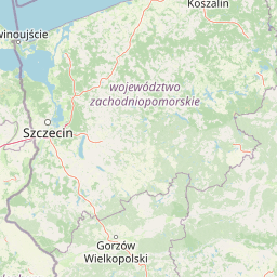
Wolin National Park was established on March 3, 1960, with an initial area of 4,844 hectares, making it one of Poland's earlier national parks established during the post-war period. The concept for the park was developed by Mieczysław Tarchalski, a distinguished forester who had served as a heroic commander of partisan units during World War II. Tarchalski prepared the documentation and draft regulations for the park's creation and was slated to become its first director, though the political climate of the era prevented a 'public enemy' from holding such a position. Leon Niedzielski, who organized and directed the park for twelve years until 1972, became its first director instead. A landmark expansion occurred in 1996 when marine waters of the Baltic Sea and Szczecin Lagoon, along with a coastal island archipelago, were incorporated into the park's boundaries. This transformation made Wolin Poland's first marine national park, establishing a precedent for coastal and marine protection in the country. The park's headquarters have remained in Międzyzdroje at Niepodległości Street 3a, where the Natural History Museum has operated since 1995 in a modern educational center with exhibition halls and aviaries displaying live birds of prey.

Wolin National Park landscape and geographic character

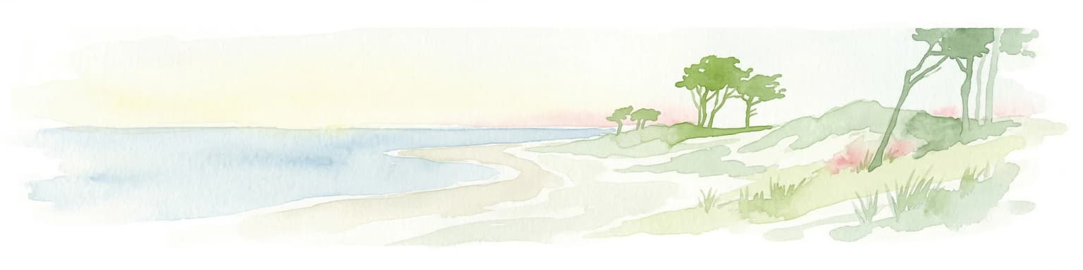
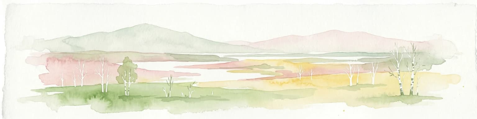
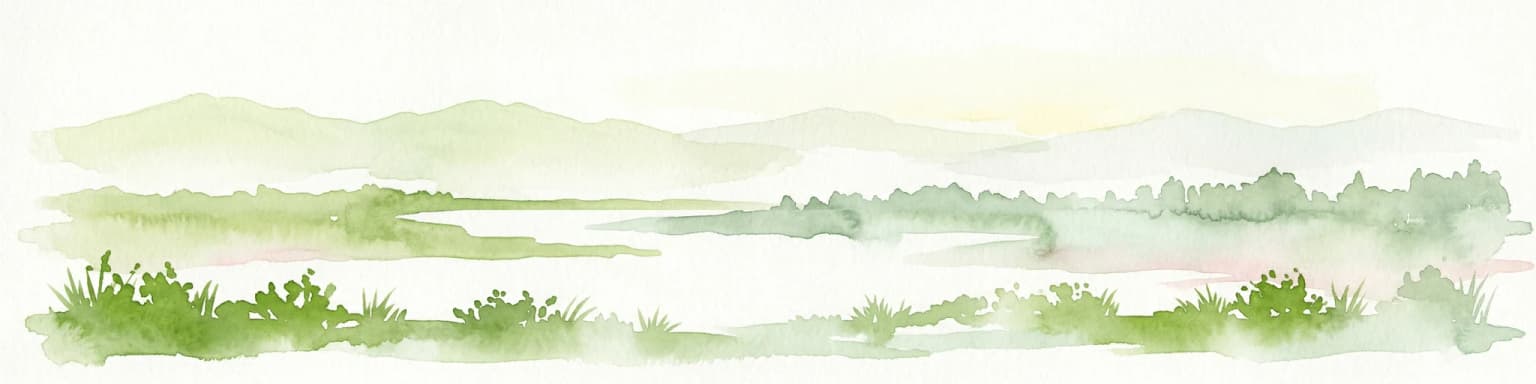
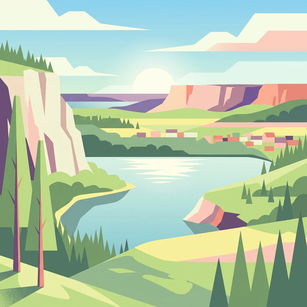
The landscape of Wolin National Park presents a compelling geological story shaped by glacial processes and ongoing coastal dynamics. The dominant terrain consists of terminal moraine ridges forming the Wolin Range and the Lubin-Wapnica Hills, which occupy approximately 75% of the park's area and reach elevations up to 115.9 meters at Mount Grzywacz. These glacial deposits create a hummocky terrain of hills, ridges, and kettle holes that gives the landscape its distinctive character. The park's most dramatic features are its sea cliffs along the northern coast—particularly at Gosań and Kawcza Góra—where active cliffs rise to 95 meters above the Baltic Sea. Coastal abrasion continues to reshape this shoreline, with the cliff line advancing inland by approximately 80 centimeters annually. The eastern part of the park features a distinct landscape of post-glacial lakes including Warnowo Zachodnie, Warnowo Wschodnie, Jezioro Czajcze, Jezioro Domysłowskie, Zatorek, and Wisełka, surrounded by kettle lakes, eskers, and kames. The second major landscape type is the delta of the Świna strait, a dynamic environment of dozens of marshy islands separated by numerous channels where ongoing sedimentation processes continuously reshape the configuration of islands and shallows. A smaller but distinctive landscape occurs in the sandr areas near Wapnica and Karnocice, while artificial lakes such as Jezioro Turkusowe (Turquoise Lake) and Gardno add further diversity to the park's water bodies.

Wooden signpost with 'WOLIŃSKI PARK NARODOWY' text on sandy beach with forested hillside background
Information sign for Wolin National Park on Międzyzdroje beach

Wolin National Park ecosystems, habitats, and plant life

The natural diversity of Wolin National Park reflects its position at the interface of marine, coastal, and terrestrial ecosystems. Vascular plant surveys have documented over 1,300 species on the island, including numerous protected and rare species. The coastal beach habitats support specialized plants including sea sandwort, sand couch, sea rocket, and prickly glasswort adapted to saline conditions. The halophyte communities of the Świna delta support approximately 30 salt-tolerant species. Steep cliff slopes are covered in dense sea-buckthorn thickets, while the shallow sandy bottom of the Baltic Sea hosts macroalgae including green algae, brown algae, and red algae, with bladder wrack being particularly abundant. The terrestrial forests are dominated by pine, which covers 68% of the park's land area, while beech accounts for 23% and oak 7%. Particularly noteworthy are the beech forests that have retained structural characteristics close to natural old-growth forests, supporting valuable ground flora including spring bellflower, orchids and bulbous bluebell. Near Wisełka, unusual coastal pine heath occurs on podzolic soils developed from loose sands. Rare plant species include royal fern, sea pea, lily-of-the-valley, and wintergreen.

Calm sea with sandy and forested cliffside featuring a small structure on the hilltop
Coastal cliff view in Wolin National Park

Wolin National Park wildlife and species highlights

Wolin National Park supports exceptional wildlife diversity, particularly as a critical node along the Baltic coastal bird migration corridor. More than 230 bird species have been recorded within the park, including numerous breeding species. The white-tailed eagle, the park's symbol, nests in the area and can be observed in the park's aviaries. The park plays a significant role in protecting wetland bird habitats, particularly during spring and autumn migrations when the Świna delta provides crucial feeding and resting areas for migratory waterbirds. The area has been designated as a bird sanctuary of European importance. Notable species include the aquatic warbler, dunlin, red-backed shrike, and the park is involved in reintroduction efforts for the eagle owl. The insect fauna includes rare species such as the stag beetle and the magnificent longhorn beetle, and scientific surveys have identified three species new to science within the park's boundaries: the beetle Teredus opacus and two springtail species. The marine waters of the Gulf of Pomerania support diverse fish populations and host rarer marine mammals including grey seals and harbor porpoises.

Wide view of the sea with distant shoreline and hills under a clear sky
Lubinsko-Wapnickie Hills visible from Karsibór Island

Wolin National Park conservation status and protection priorities

Wolin National Park serves multiple conservation functions across marine, coastal, and terrestrial ecosystems. The seven strict protection areas within the park preserve representative examples of the park's most valuable natural habitats, including old-growth beech forests and coastal ecosystems. The park's marine extension protects the Baltic Sea and Szczecin Lagoon waters, supporting marine biodiversity including fish populations and marine mammals. The park is part of a broader network of European conservation sites, functioning as a Special Area of Conservation under the EU Habitats Directive and a Special Protection Area under the EU Birds Directive through the 'Odra River Estuary and Szczecin Lagoon' site and the 'Wolin and Uznam' bird protection area. The park's management focuses on maintaining ecological processes, protecting rare species, and managing visitor access to balance conservation with public enjoyment. Visitor education is supported by the Natural History Museum and network of nature trails, while ongoing research monitors the park's ecosystems and supports adaptive management.

Wolin National Park cultural meaning and human context

The island of Wolin has served as a significant location in regional history, and the park preserves tangible evidence of human presence spanning centuries. The Lubin Grodzisko site represents the remains of an early medieval fortified settlement that functioned between the 10th and 12th centuries, located at the highest point overlooking the Szczecin Lagoon. At the center of this fortified hilltop, ruins of what may be the oldest church in Pomerania have been identified, and archaeological excavations have uncovered a treasure of over 100 Arabic dirham coins dating to 951 CE. The site offers panoramic views across the Szczecin Lagoon, its 44 islands, the shipping channel between Szczecin and Świnoujście, and the wetlands of the Świna strait. During the World War II period, the area served as a secret German testing range where the V3 supergun was developed. The V3 bunker in Zalesie now houses the only exhibition of this secret weapon in Poland. The Piast Stones, a coastal boulder field between Międzyzdroje and Wisełka, represents another cultural landmark, while the ancient Wolinian Oak stands as a natural monument with historical significance.

Top sights and standout views in Wolin National Park

Wolin National Park combines exceptional natural landscapes with significant cultural heritage in a compact coastal setting. The dramatic sea cliffs at Gosań and Kawcza Góra, among Poland's highest active coastal cliffs, frame sweeping views of the Baltic Sea and serve as iconic park landmarks. The park's designation as Poland's first marine protected area reflects its pioneering role in coastal conservation, with the 1996 expansion incorporating the Baltic Sea and Szczecin Lagoon waters. The European bison sanctuary and the white-tailed eagle, both featured prominently in park branding, represent flagship species conservation efforts. Cultural highlights include the early medieval Lubin Grodzisko with its potentially oldest Pomeranian church foundations, the unique V3 bunker exhibition from World War II, and the archaeological treasure of Arabic dirham coins discovered at the fortified settlement. The park's five scenic viewpoints, network of marked trails, and the Natural History Museum provide visitor engagement opportunities, while the dynamic delta landscape of the Świna strait offers ongoing ecological interest as a continuously evolving ecosystem.

Best time to visit Wolin National Park

The park can be enjoyed throughout the year, with each season offering distinct experiences. Summer brings the warmest conditions for beach activities and cliff-top walking, though this is also the peak visitor season. Spring and autumn offer excellent conditions for wildlife observation, particularly birdwatching during migration periods when the delta and coastal areas host significant numbers of passage birds. The park's forests display seasonal transformations, with spring bringing forest floor wildflower displays, summer offering dense green foliage, autumn presenting colorful beech and oak foliage, and winter providing a different perspective on the landscape's structure and exposed geology. The shoulder seasons of May and September typically offer a good balance of favorable weather with fewer visitors, while winter visits provide opportunities to experience the park's moody coastal landscapes with fewer crowds, though some facilities may have reduced operations.

Park location guide

Geography guide, regional context, and park location map for Wolin National Park

Wolin National Park park geography, regions, and map view in Poland
Understand where Wolin National Park sits in Poland through a broader geographic reading of the surrounding landscape, nearby location context, and its mapped position within the national park landscape.

How Wolin National Park fits into Poland

Poland, officially the Republic of Poland, is a Central European country spanning from the Baltic Sea in the north to the Carpathian Mountains in the south. It borders Germany, Czech Republic, Slovakia, Ukraine, Belarus, Lithuania, and Kaliningrad Oblast. The country has a temperate climate, diverse landscapes, and is known for its rich history, cultural heritage, and strong economic position within the EU.

Wider geography shaping Wolin National Park in Poland

Poland occupies 312,696 km2 in Central Europe, extending from the Baltic Sea coast in the north to the Sudetes and Carpathian Mountains in the south. It borders Germany to the west, Czech Republic and Slovakia to the south, Ukraine and Belarus to the east, and Lithuania and Kaliningrad Oblast to the northeast. The landscape includes lowland plains, uplands, and mountain ranges.

Map view of Wolin National Park

Use this park location map to pinpoint Wolin National Park in Poland, understand its exact geographic position, and read its mapped placement within the surrounding landscape more clearly.

Pigeon | © OpenStreetMap contributors

Location context for Wolin National Park

West Pomeranian Voivodeship

Explore the Dramatic Sea Cliffs, Dynamic Delta, and Diverse Habitats of Wolin National Park through Imagery

Wolin National Park Photos, Landscapes, and Scenery: A Visual Guide to Poland's Coastal Protected Area
Visually explore the unique coastal cliffs, expansive marine protected areas, and diverse wetland ecosystems that define Wolin National Park's environment. These detailed images provide essential context for understanding the park's distinct glacial landscapes, dynamic shoreline, and critical habitats for species like the white-tailed eagle and European bison.

Aerial view of a turquoise lake surrounded by forested hills with adjacent roads and buildings

A panoramic view of a large blue lake surrounded by green forests and fields, with a hill in the background under a clear sky

Wooden signpost with 'WOLIŃSKI PARK NARODOWY' text on sandy beach with forested hillside background

Calm sea with sandy and forested cliffside featuring a small structure on the hilltop

Wide view of the sea with distant shoreline and hills under a clear sky

Park atlas

Explore the broader network of protected areas and national parks situated within the geographic vicinity of Wolin National Park, enabling valuable comparison.

Explore Nearby National Parks and Protected Areas Around Wolin National Park
Explore other national parks and protected areas located in the vicinity of Wolin National Park, allowing you to trace the geographic spread of coastal, wetland, and forest conservation landscapes. Continuing your park discovery provides crucial context for comparing diverse ecosystems, glacial terrain, and significant protected-area mapping across the broader regional atlas.
Watercolor painting showing chalk cliffs along a coastline with calm water and distant hills
National parkMecklenburg-Vorpommern

Jasmund National Park: Germany's Coastal Chalk Cliffs and Primeval Forest Landscape

Explore the protected geography of Mecklenburg-Vorpommern's Rügen island.

Jasmund National Park showcases one of Northern Europe's most dramatic natural formations, defined by its striking white chalk cliffs plunging into the Baltic Sea and its UNESCO-recognized primeval beech forests. This protected area offers a profound look into geological heritage and undisturbed forest ecosystems. Navigate its mapped boundaries and understand its unique landscape context within the Mecklenburg-Vorpommern region through detailed atlas exploration on MoriAtlas.

Area
30 km²
Established
1990
IUCN
II
Visitors
300K annual
Watercolor painting depicting a river flowing through a valley with green vegetation and distant mountains
National parkBrandenburg

Lower Oder Valley National Park: Unique Polder Landscape and Bird Sanctuary

Discover protected area maps and regional geography in Brandenburg

Delve into the Lower Oder Valley National Park, a national park recognized for its extraordinary polder landscape and extensive wetland ecosystems. This page provides detailed geographic context, highlighting the park's unique engineered floodplain, its role as a sanctuary for numerous bird species, and its position within the regional geography of Brandenburg. Understand the mapped boundaries and ecological importance of this exceptional protected area.

Area
103.23 km²
Established
1995
IUCN
II
Visitors
150K annual
Watercolor painting depicting a river flowing through a forested landscape with hills in the background
National parkWest Pomeranian Voivodeship

Drawa National Park: Protected Landscape and River Geography in West Pomeranian Voivodeship

Explore Poland's unique lowland river and ancient forest protected area.

Drawa National Park stands as a vital protected area within West Pomeranian Voivodeship, Poland, celebrated for its exceptional natural geography. The park's core feature is the Drawa River, which carves a distinctive path with fast-flowing currents and deep valleys, presenting a landscape more akin to mountain streams than typical lowland waterways. This area protects one of Poland's most valuable lowland river corridors, featuring ancient beech and oak forests, the rare meromictic Lake Czarne, and diverse wetland habitats. MoriAtlas facilitates structured exploration of Drawa National Park's mapped terrain and protected landscape identity.

Area
115.36 km²
Established
1990
IUCN
II
Visitors
27K annual
Watercolor illustration showing a coastal lagoon with sandy shoreline, calm water, sand dunes, and sparse vegetation including trees and grasses
National parkMecklenburg-Vorpommern

Western Pomerania Lagoon Area National Park: Detailed Geographic and Protected Landscape Context

Explore its mapped boundaries and unique Baltic Sea coastal geography.

Western Pomerania Lagoon Area National Park is a vital protected landscape in Mecklenburg-Vorpommern, renowned for its complex network of peninsulas, islands, and extremely shallow brackish 'bodden' waters. This page serves as an atlas entry, detailing the park's geographic features, its distinctive wind-driven water level fluctuations, and its ecological importance as a major migratory bird staging area. Users can investigate the mapped extent of this significant German national park and understand its unique place within the regional geography.

Area
805 km²
Established
1990
IUCN
II
Relief
Lowland
Watercolor painting of a landscape with a lake, trees, and distant hills
National parkMecklenburg-Vorpommern

Müritz National Park: Explore Protected Beech Forests and Glacial Lakelands in Mecklenburg-Vorpommern

Germany's largest national park: mapped boundaries and terrain.

Müritz National Park represents a significant protected landscape within northeastern Germany's Mecklenburg-Vorpommern region. Its expansive territory encompasses not only Germany's largest lake, Müritz, but also substantial tracts of ancient beech forests awarded UNESCO World Heritage status. Users can explore the park's glacial terrain, its intricate network of lakes and wetlands, and understand its position within the regional geography, making it a key destination for structured atlas-based discovery of German protected areas.

Area
318 km²
Established
1990
IUCN
II
Watercolor illustration showing a river winding through rolling green hills with sparse vegetation
National parkLubusz Voivodeship

Warta Mouth National Park: A National Park Protecting Vital European Wetlands

Explore mapped protected areas and bird habitats in Lubusz Voivodeship.

Warta Mouth National Park, located in Poland's Lubusz Voivodeship, is a significant protected landscape safeguarding the ecologically rich confluence of the Warta and Oder rivers. As the nation's most recently established national park, it provides critical habitat for a vast array of migratory and breeding bird species within its extensive marshlands and floodplains. This park offers a unique opportunity for atlas-driven exploration of Central European wetland geography and the mapped boundaries of a vital conservation area.

Area
80.38 km²
Established
2001
IUCN
II
Visitors
52K annual
National parkSkåne County

Stenshuvud National Park: Discover Skåne County's Distinctive Baltic Headland National Park

Explore broadleaf forests, heathlands, and panoramic coastal geography.

Stenshuvud National Park is a notable national park in Sweden's Skåne County, characterized by a prominent hill that rises 97 meters above the Baltic Sea. This protected landscape offers a rich diversity of habitats within a small area, including dense broadleaf forests, open heathlands, and coastal terrains. Its unique geographic position and varied ecosystems make it a key destination for exploring protected natural areas, mapped terrain, and regional landscape context within the MoriAtlas platform.

Area
3.9 km²
Established
1986
IUCN
II
Relief
Lowland
Watercolor painting of a river flowing through a forested area with colorful fields
National parkPomeranian Voivodeship

Tuchola Forest National Park: Explore Poland's Largest Protected Woodland and Glacial Lakes

Detailed maps and geographic context of unique forest ecosystems and terrain.

MoriAtlas offers a comprehensive geographic overview of Tuchola Forest National Park, a vital protected area in Pomeranian Voivodeship, Poland. This page delves into the park's identity as Poland's largest contiguous forest, distinguished by its post-glacial landscape. Users can explore the mapped boundaries of its extensive coniferous forests, numerous interconnected glacial lakes, dynamic dunes, and ecologically rich peatlands. It serves as a key entry point for understanding the park's unique terrain and its significant place within the broader regional geography and protected lands atlas.

Area
46.13 km²
Established
1996
IUCN
II
Visitors
33K annual

Common questions about visiting, size, designation, and location context for Wolin National Park

Wolin National Park FAQs for park facts, access, geography, and protected area context
Find quick answers about Wolin National Park, including protected-area facts, park geography, trail and visitor context, and how the park fits into its surrounding country and regional landscape.
MoriAtlas Explorer

Continue Your Protected Areas Search Across the Global Atlas

Deepen your exploration by continuing the structured search for national parks and protected areas worldwide. Utilize the comprehensive filtering capabilities to compare different conservation landscapes and refine your understanding of global park geography. Discover more about the distribution and characteristics of protected natural areas.

Global natural geography